
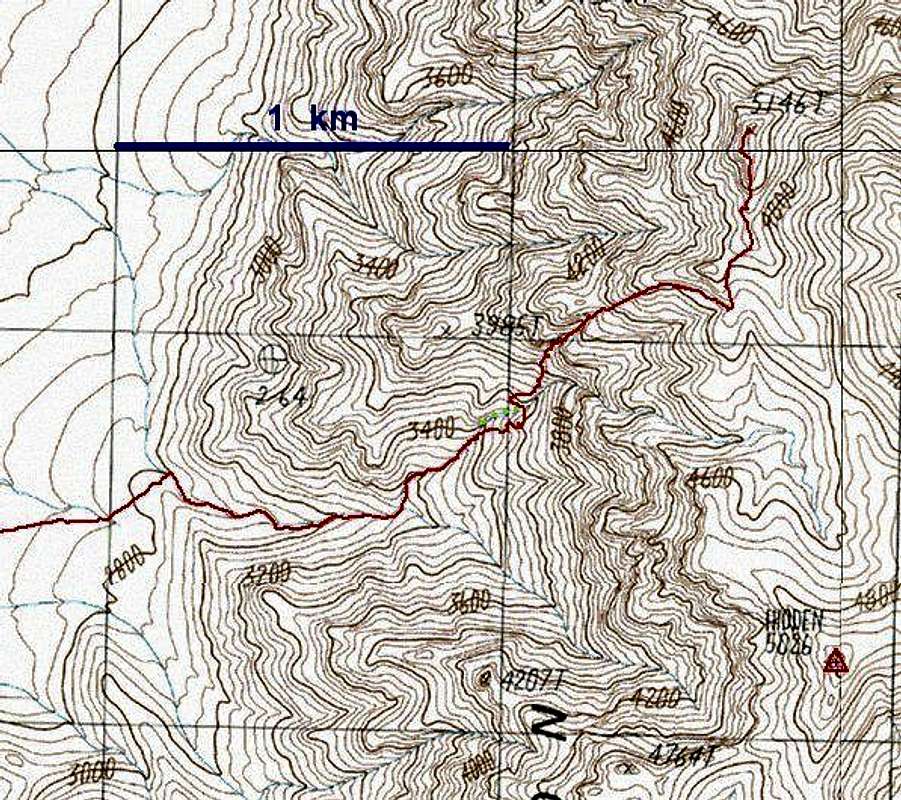
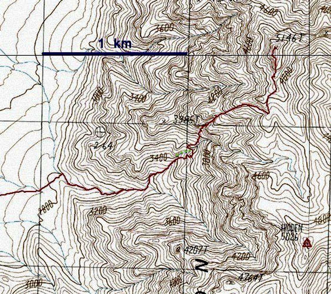
Larger view of route, without...
Larger view of route, without waypoints. DO NOT USE THIS MAP FOR YOUR CLIMB. Use this image only to locate positions on the larger 1:24000 USGS topographic sheet from 1986. The red indicates the GPS trace; the green dots indicate the option path through the dryfalls.


