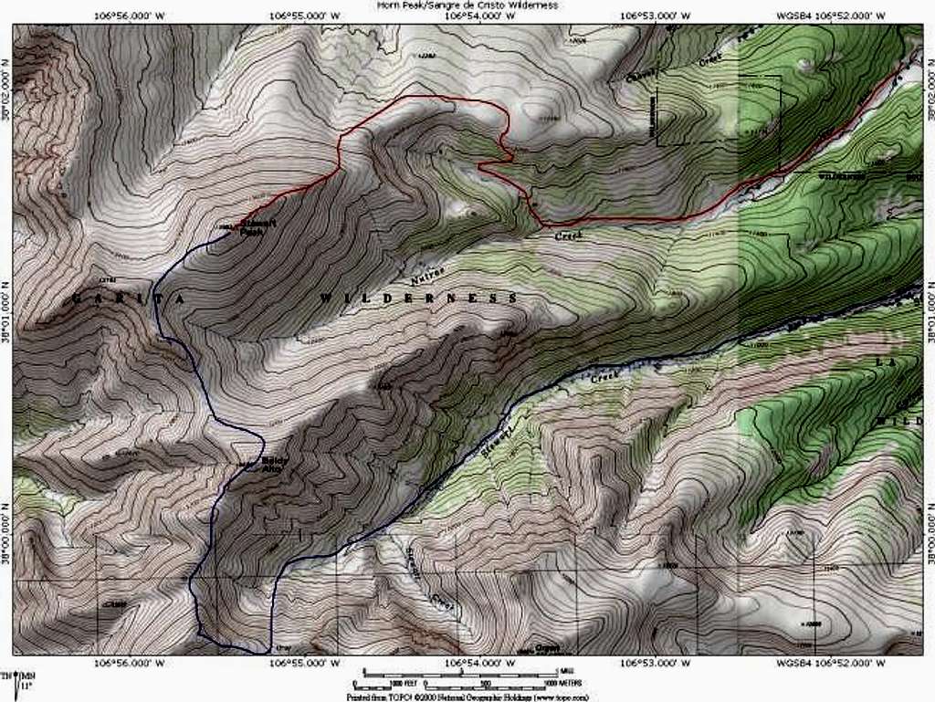
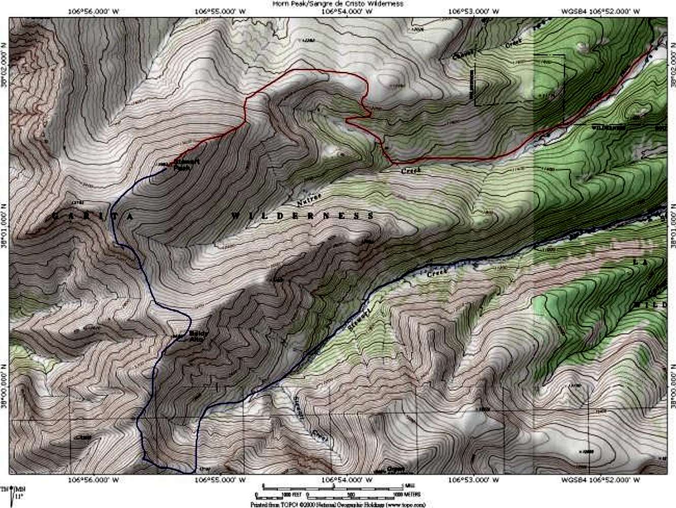
A topo map depicting eastern...
A topo map depicting eastern routes on Stewart Peak. The route in red is the Nutras Creek Route. The route in blue is the Stewart Creek Route (that can be combined with San Luis Peak). Created with National Geographics Topo! software. Jon Bradford


