
Comments
No comments posted yet.
|
|
Trip Report |
|---|---|
|
|
Download GPX » View Route on Map |
|
|
Feb 9, 2023 |
|
|
Hiking |
|
|
Winter |
Unnamed Peak 2790 ft rises in southwestern Arizona’s KOFA National Wildlife Refuge near Castle Dome Peak. No trail goes anywhere near the peak, and I had not found any information about it on the internet. Looking at Google earth images, however, it had appeared that I might be able to reach its summit by hiking through a canyon to the southeast of the peak.
Three days prior to this hike, I had attempted to climb Peak 2790 ft but private property had blocked me from driving to where I had planned to start my hike. On this day, I avoided private property but found myself bushwacking through thorny plants at the bottom of the canyon. When I noted that I had gone into the wrong branch of the canyon, I became disheartened and gave up my goal of reaching the summit.
Hike Distance: 11.15 miles
Elevation at starting point: 1260 ft
Elevation at highest point reached: 2280 ft
February 9, 2023
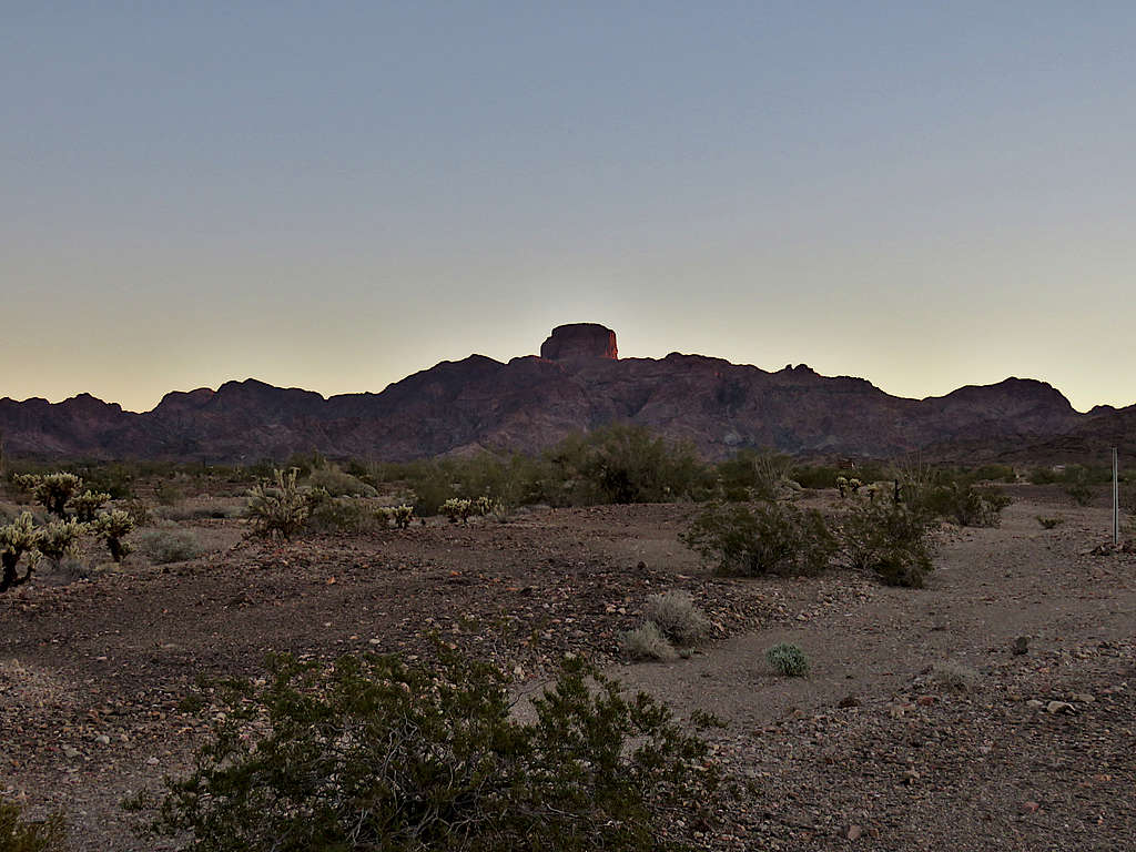
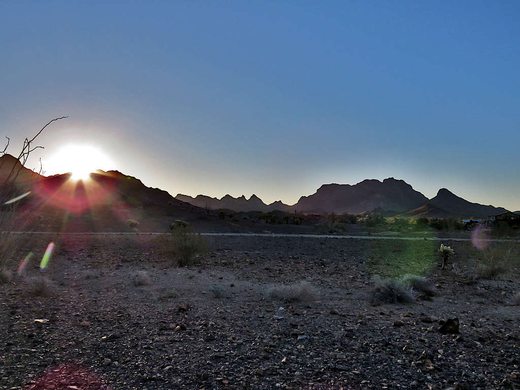
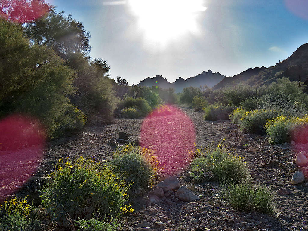
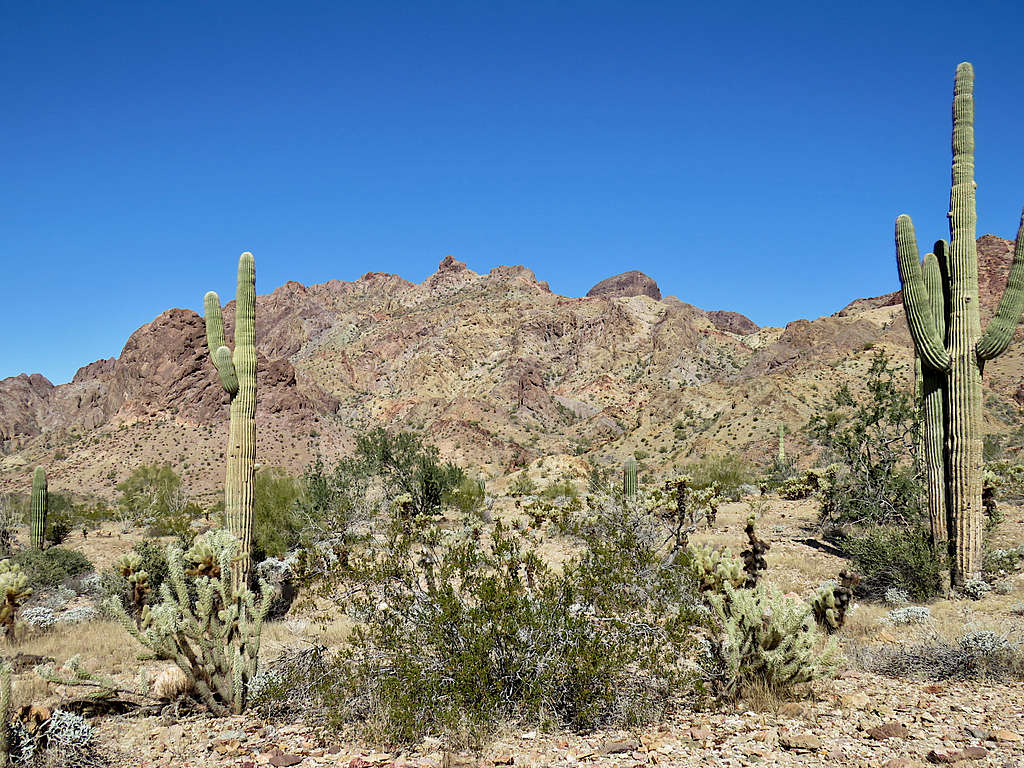
Left Yuma, Arizona at 6:30 AM (sunrise 7:30) and drove north on Route 95 then got on Castle Dome Mine Road which was a well graded dirt road. Went by Tethered Aerostat Radar System, some sort of border security blimp. To avoid private property, I parked at the junction of Big Eye Mine Road. Started my hike at 7:30 AM. View of the big square block of the 3788 ft Castle Dome Peak. Unnamed Peak 2790 ft seen on the right.
I knew that I had a 3.8-mile hike before I could reach the start of the canyon at the base of Peak 2790 ft. Got on the desert floor and began to hike north following the path that I had entered inro my GPS.
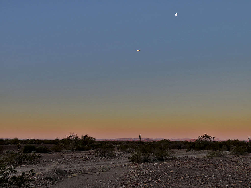
The moon and the blimp.
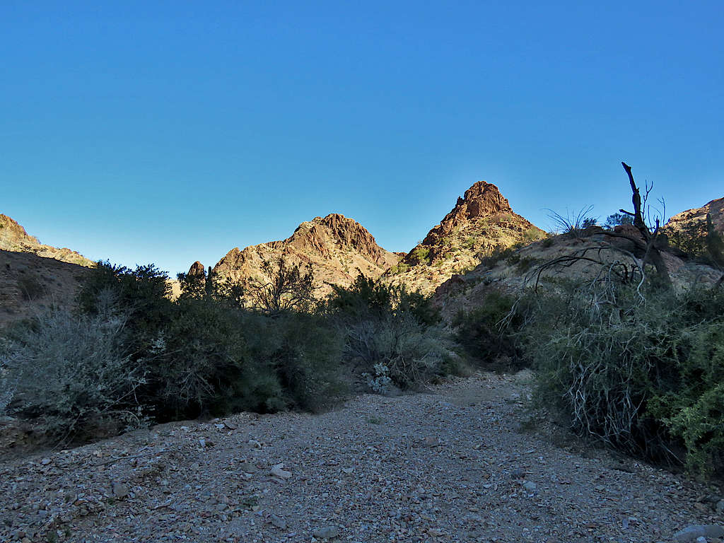
Looking north.
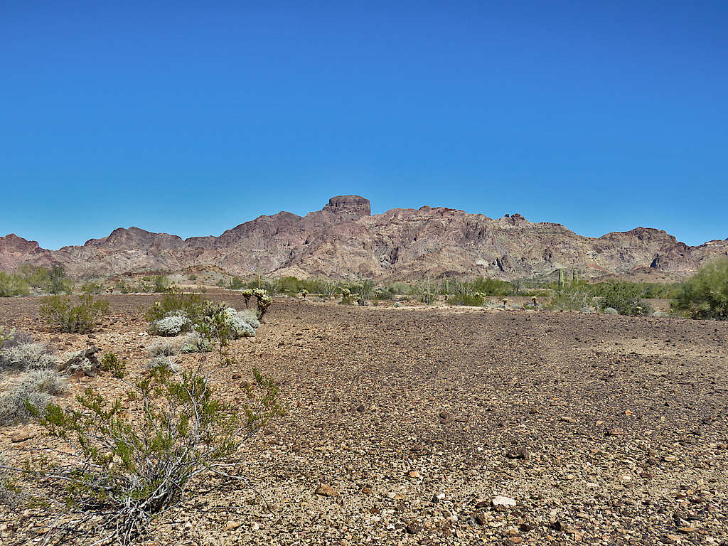
Zoomed view of Peak 2790 ft.
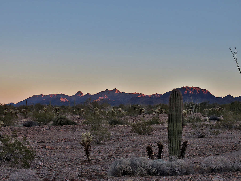
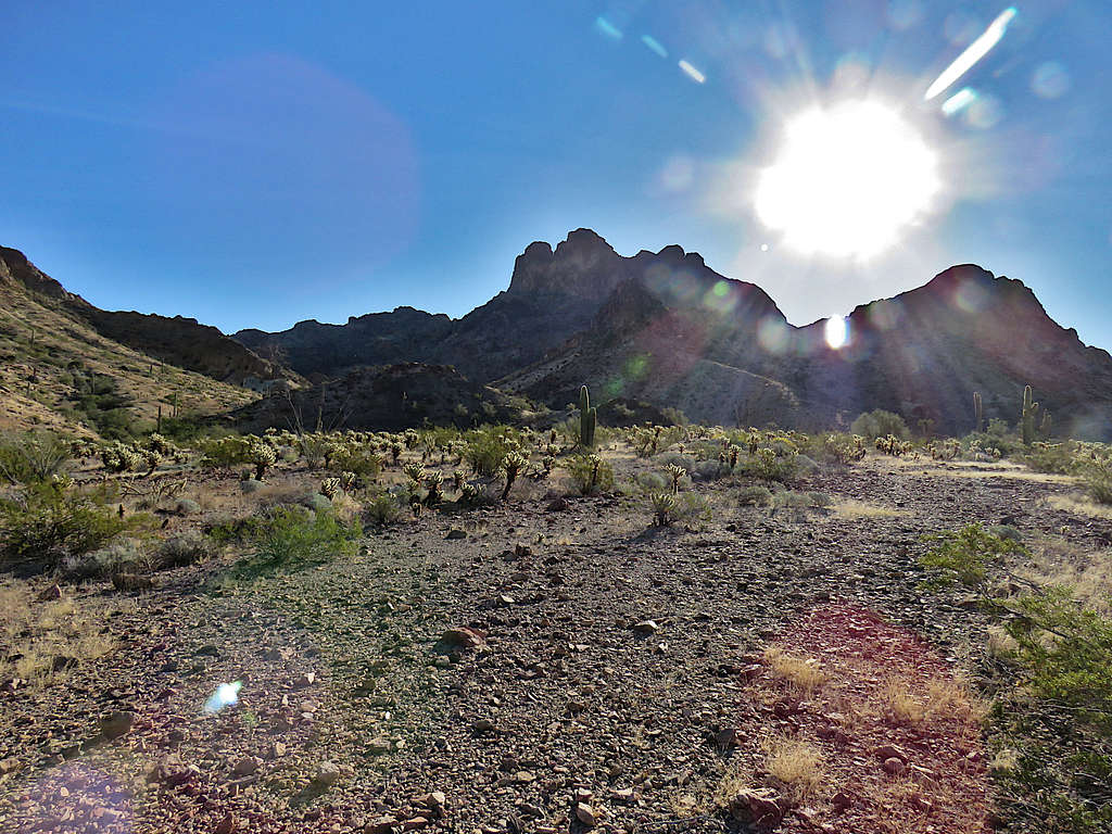
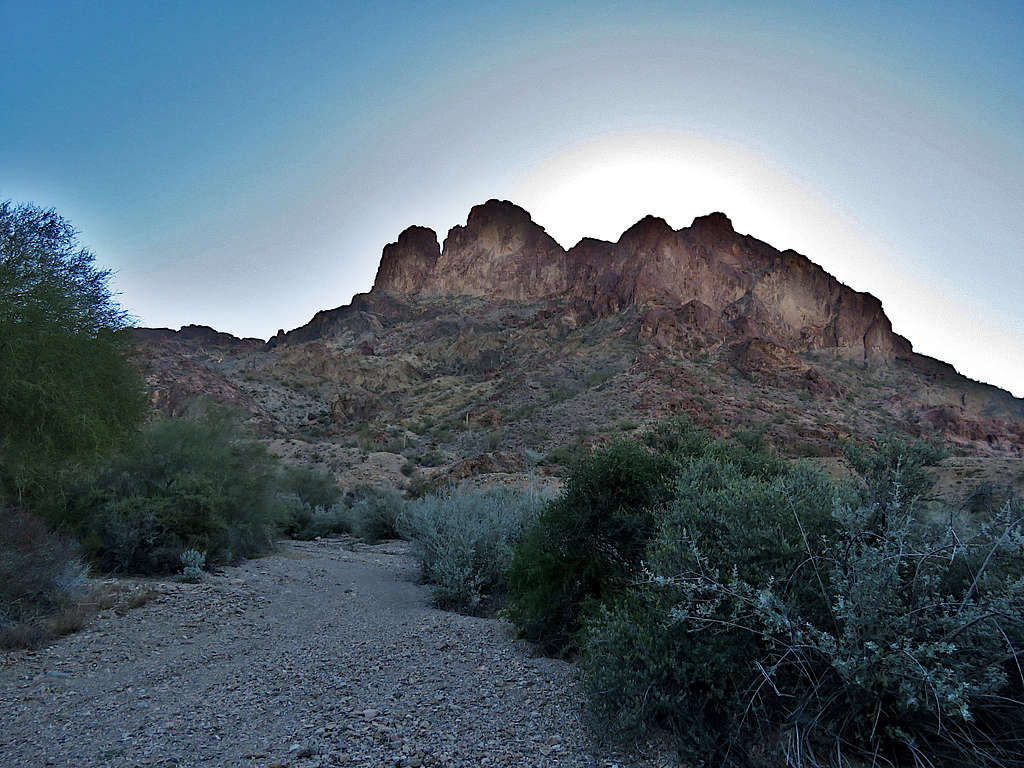
Sunrise. Peak 2656 ft on the right.
Castle Dome Peak.
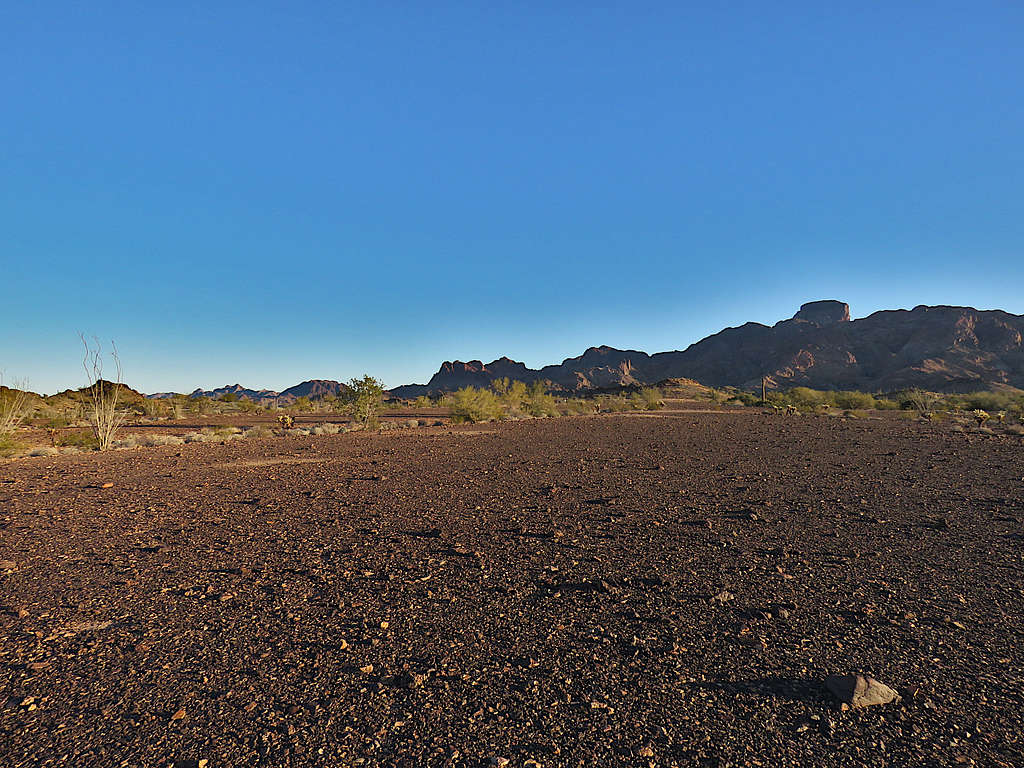
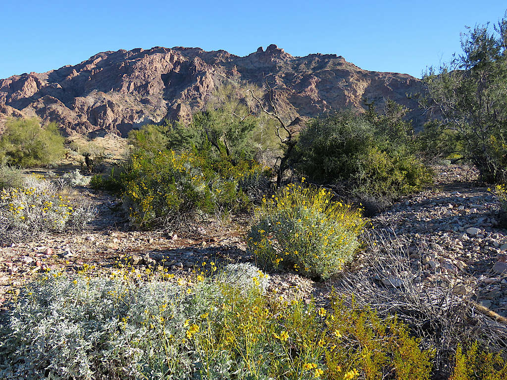
Once I went beyond what the map had identified as the first parcel of private property, I turned northeast and crossed the continuation of Castle Dome Mine Road. That portion of the road was not on private property, but the road was gated shut at private property before one could drive to that spot. Going toward Peak 2790 ft.
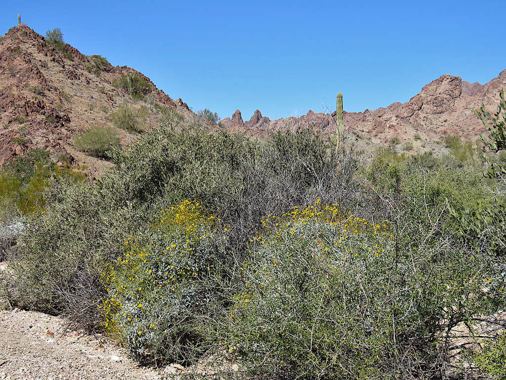
Hiking cross country.
The blimp.
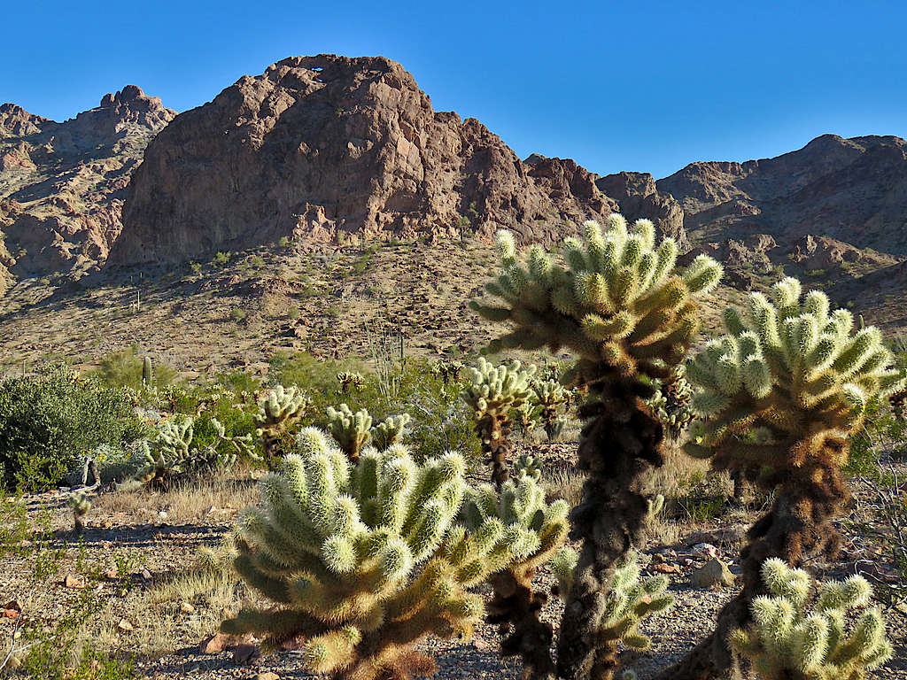
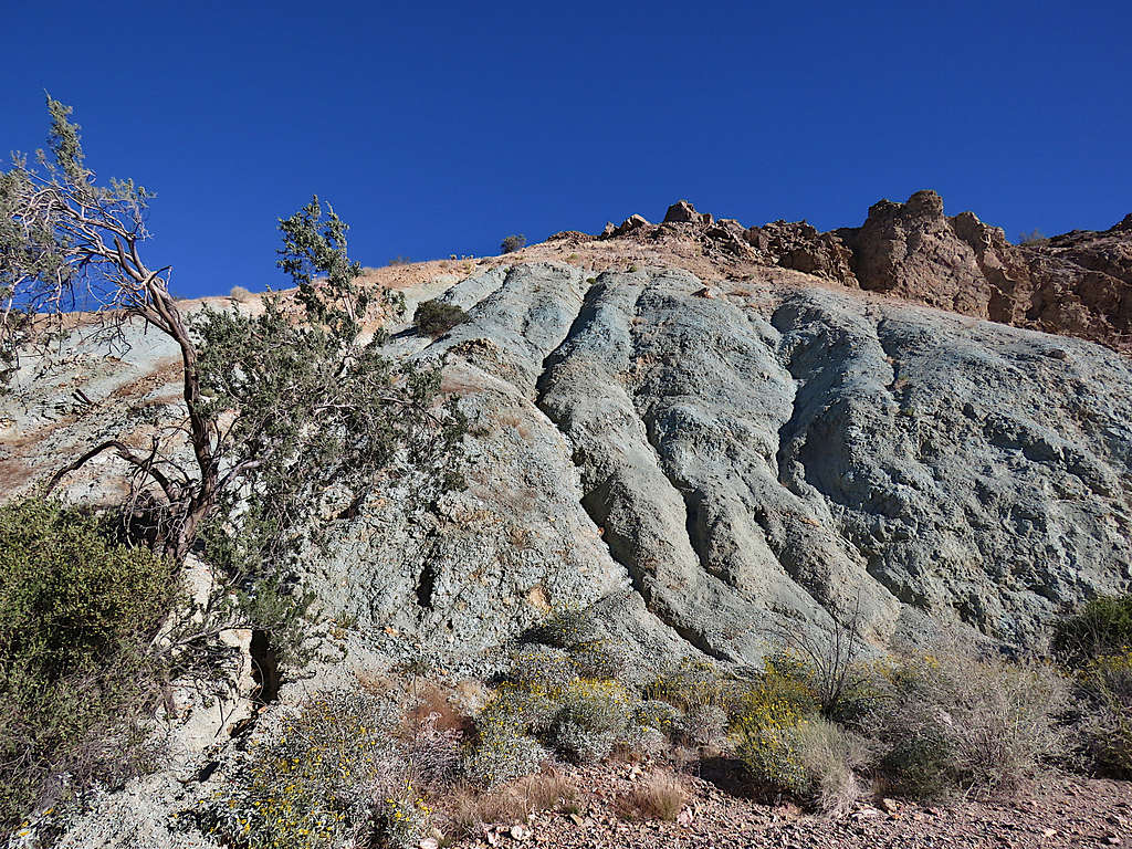
Unnamed arch.
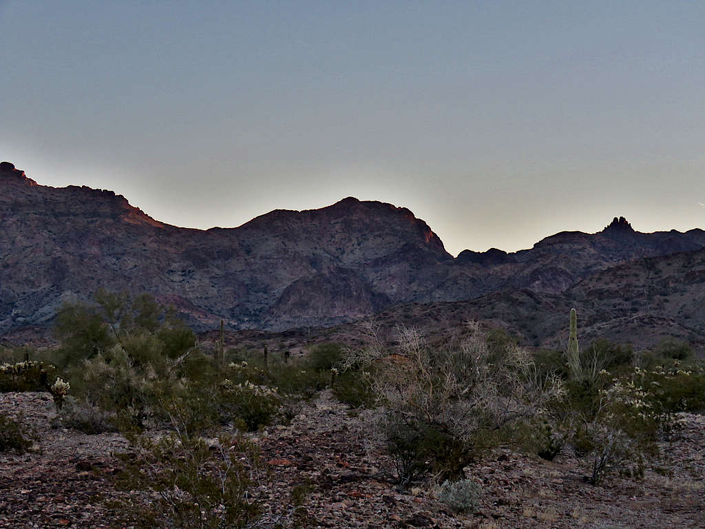
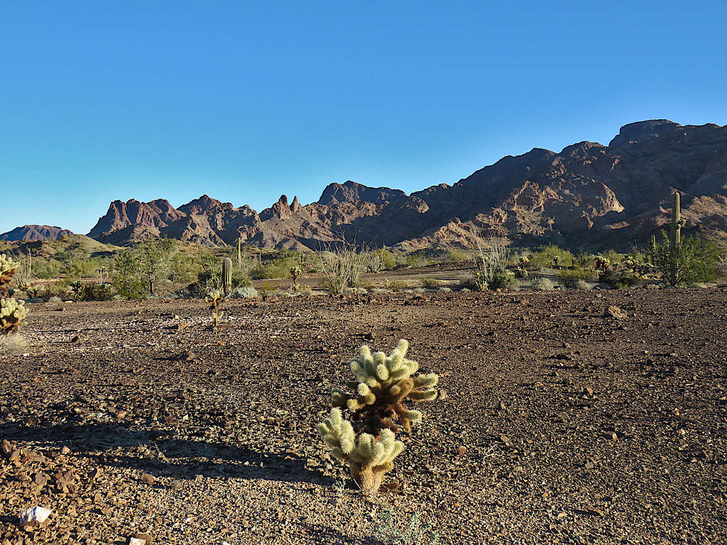
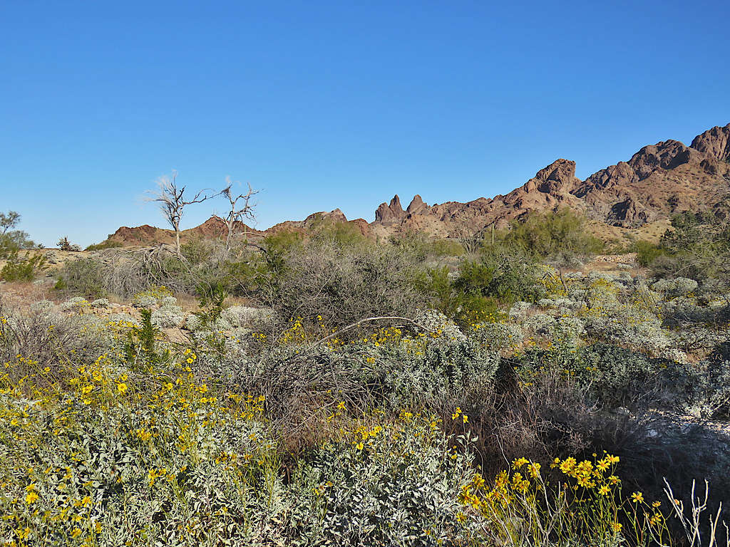
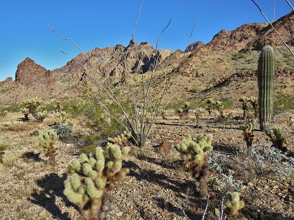
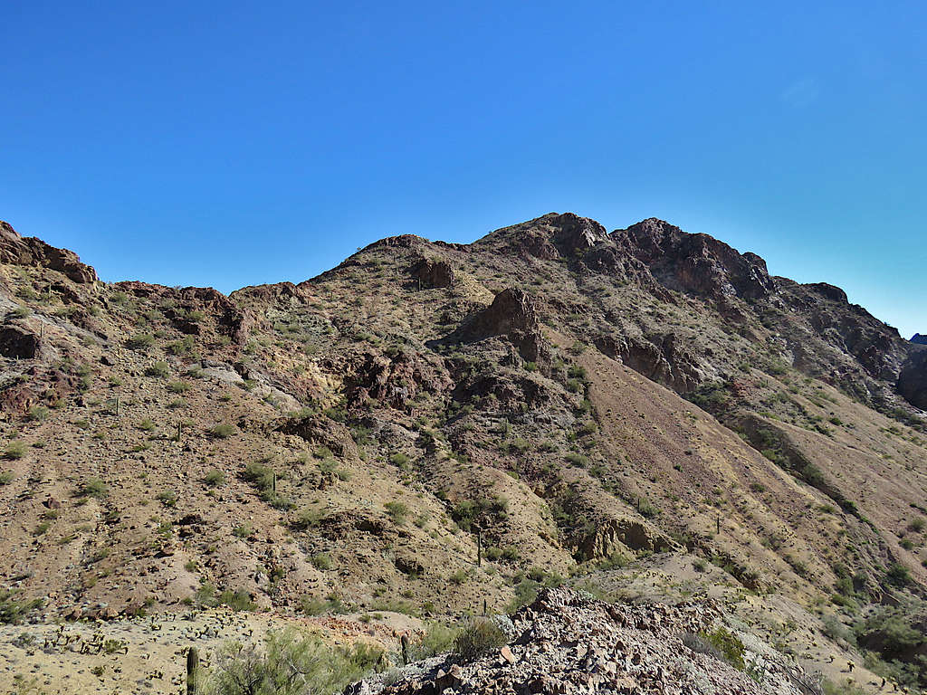
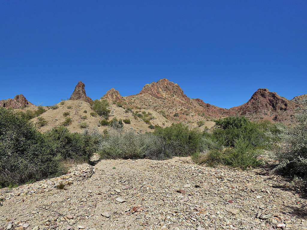
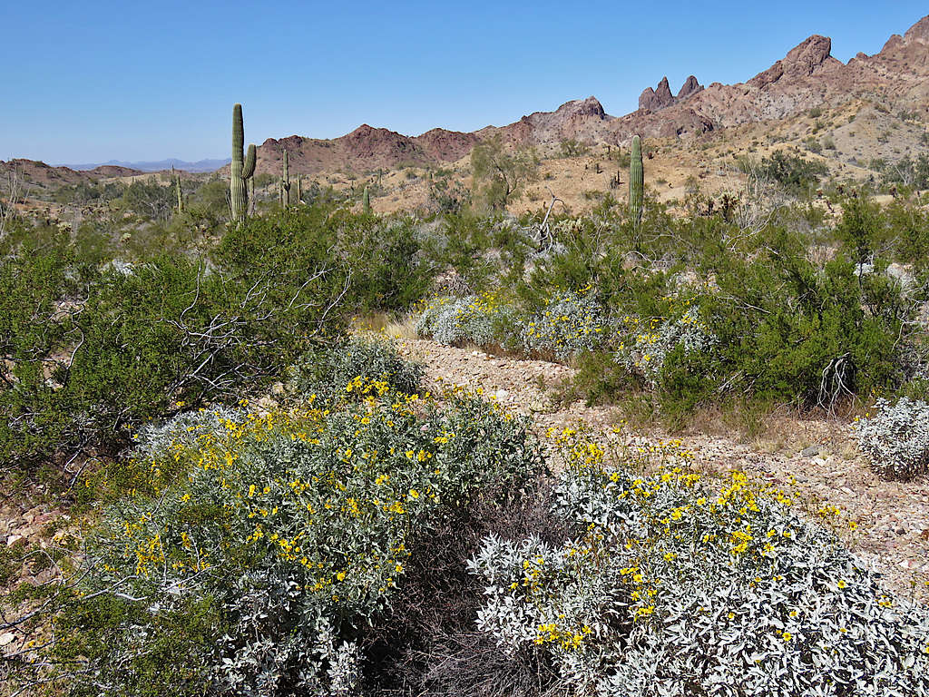
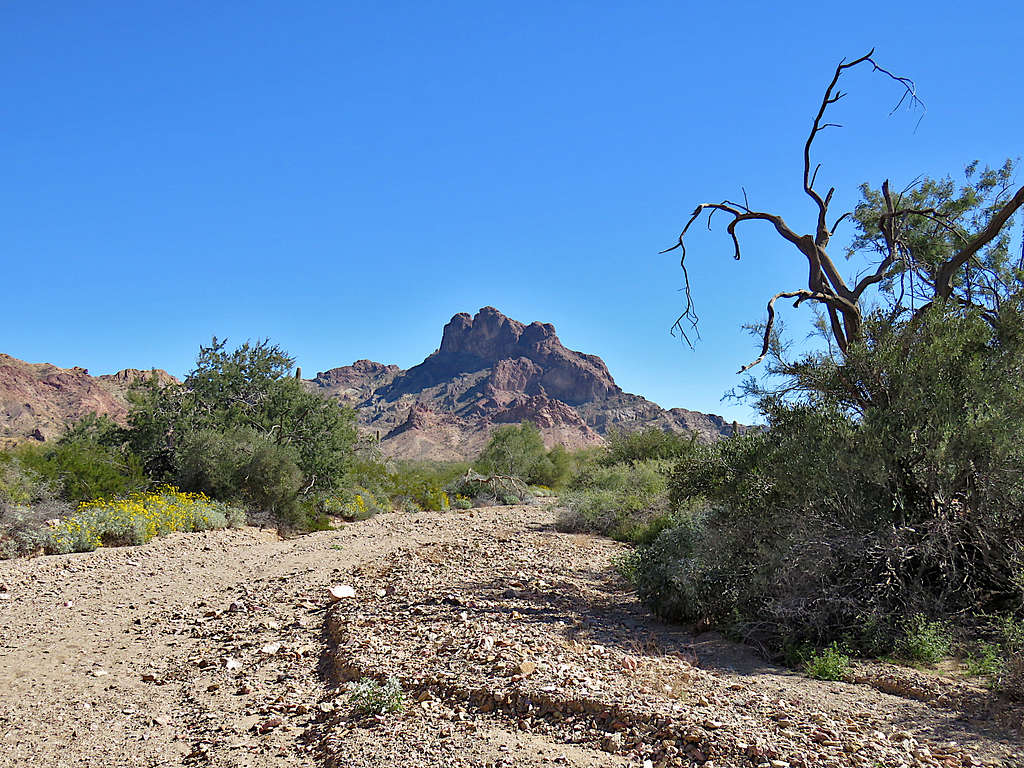
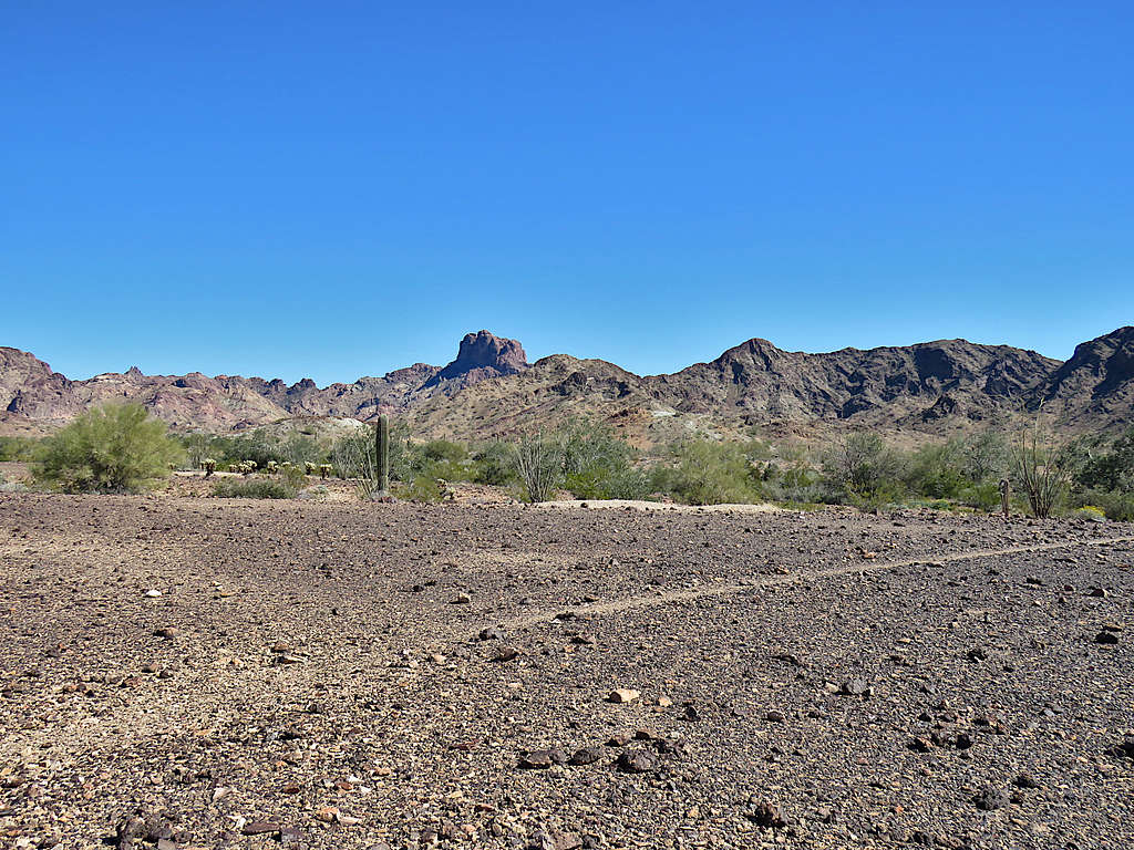
Peak 3370 ft.
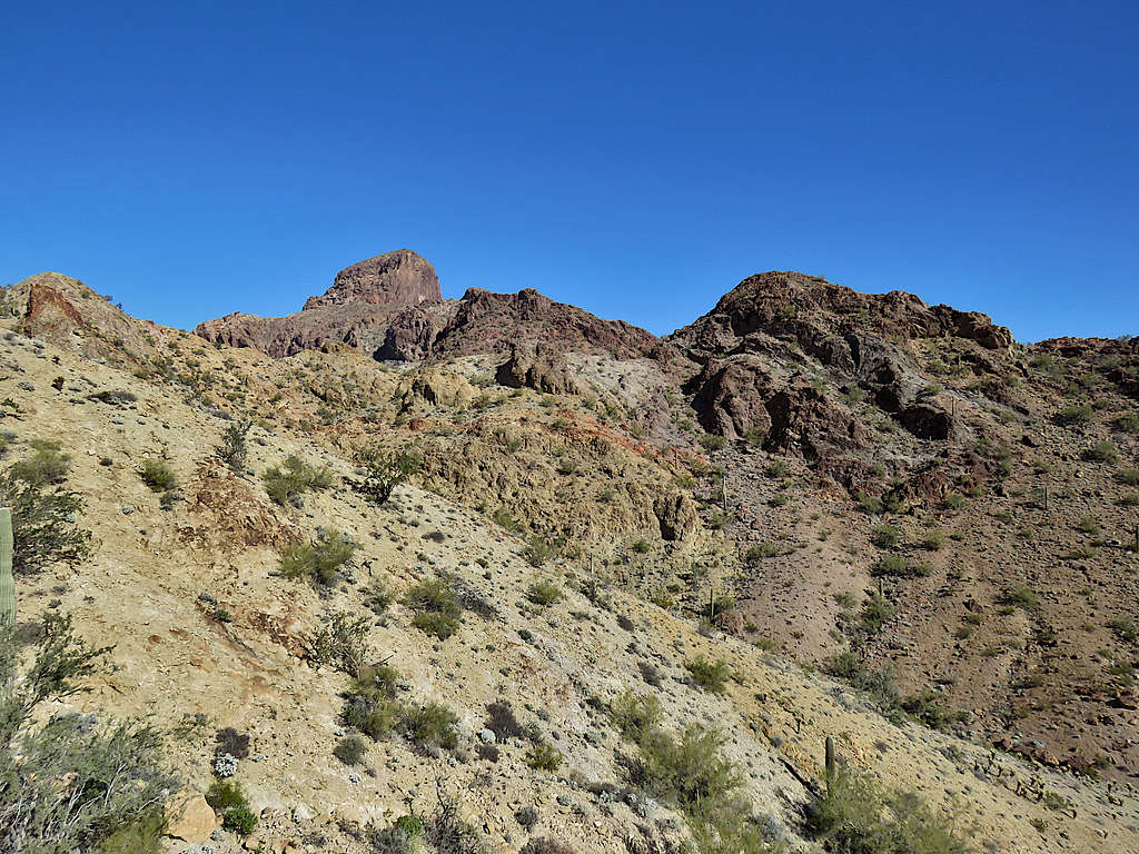
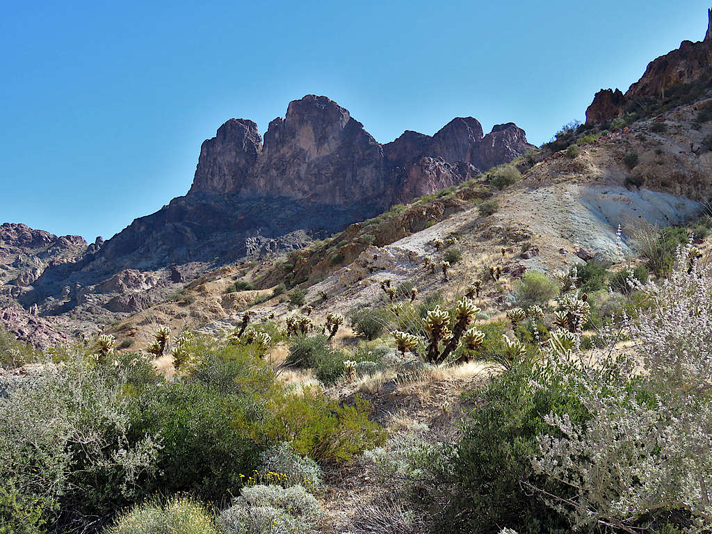
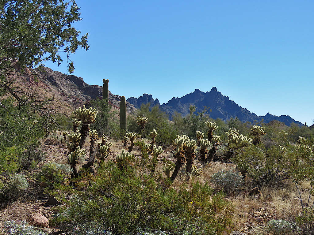
Peak 2790 ft.
Closer to the unnamed arch.
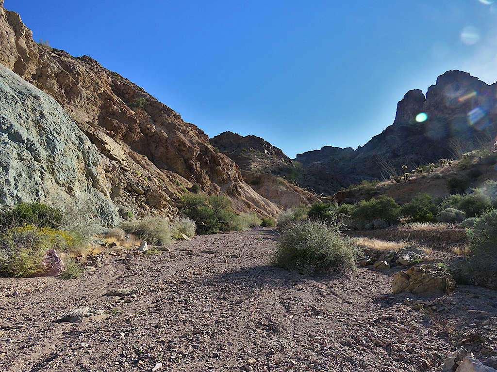
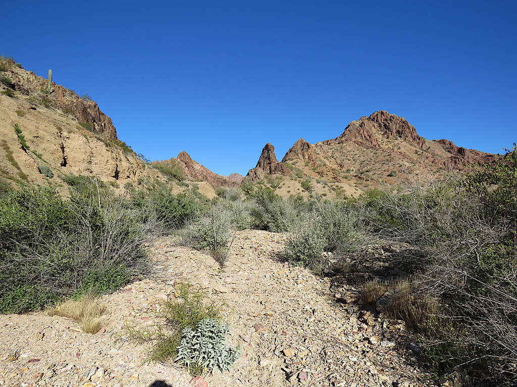
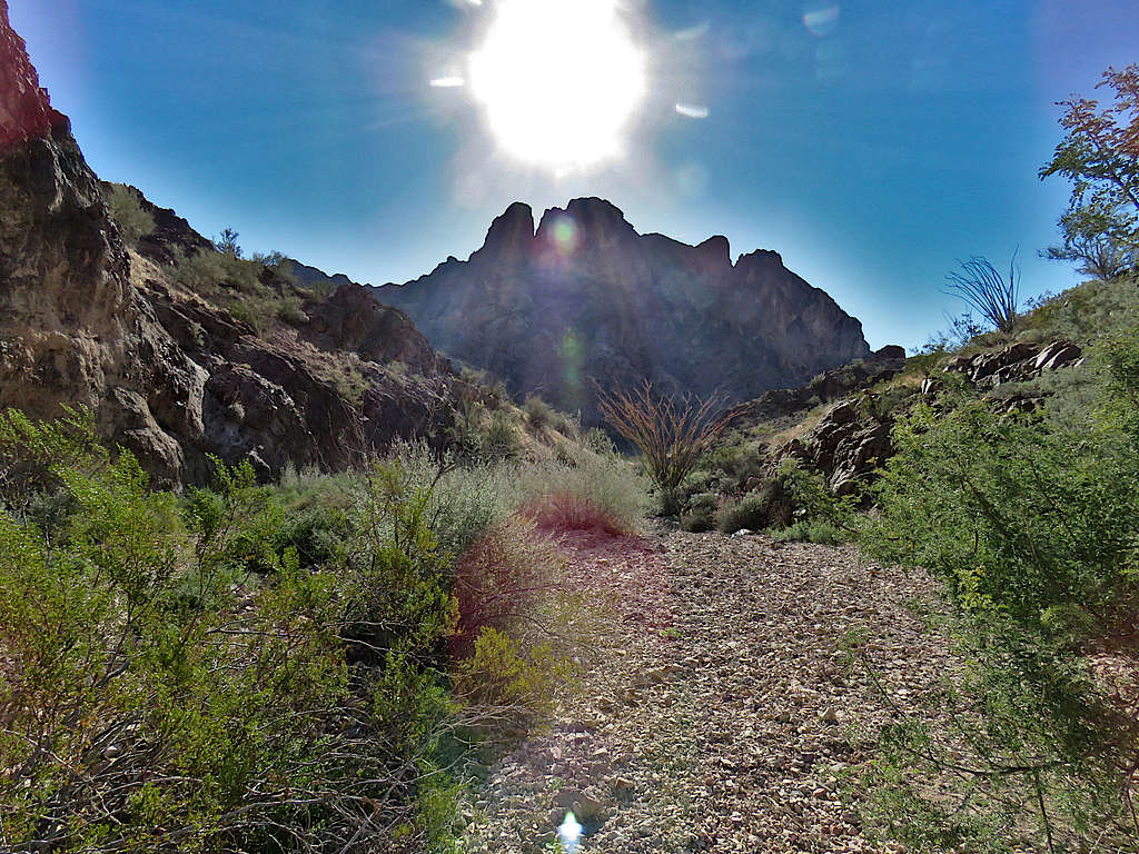
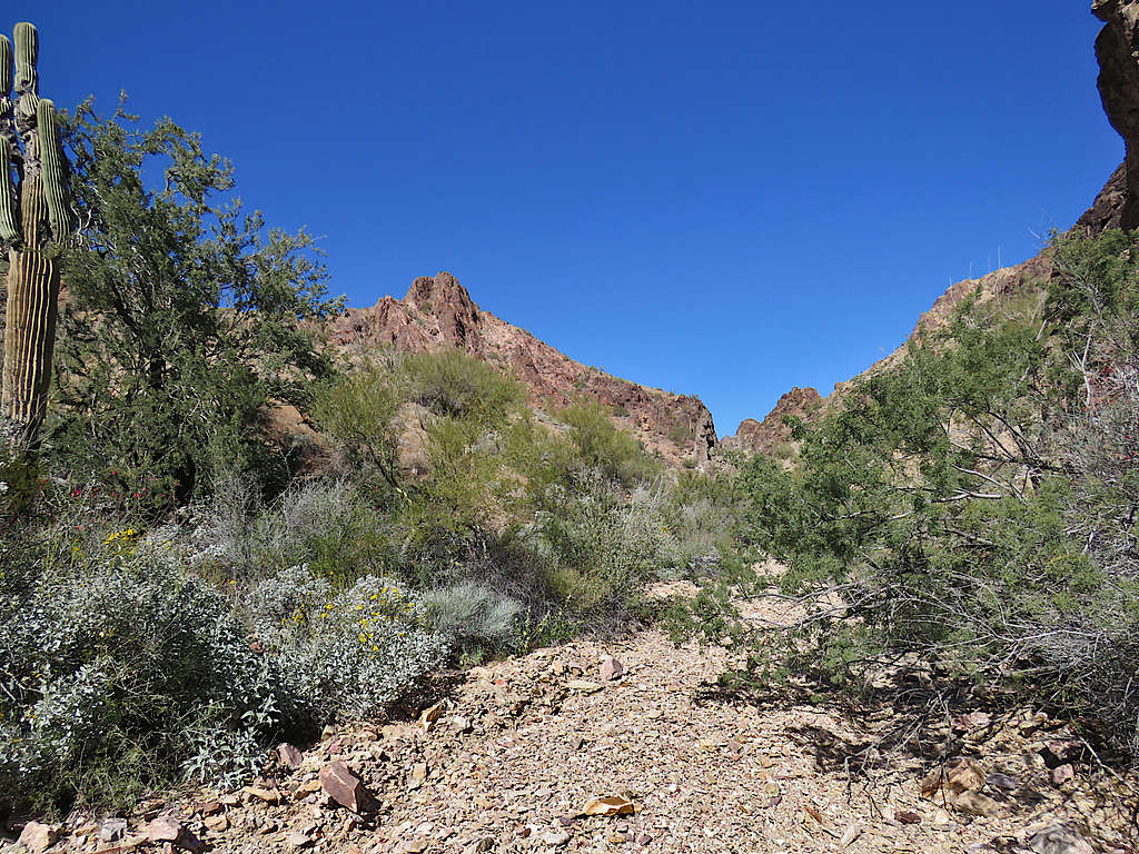
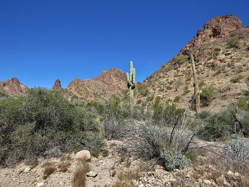
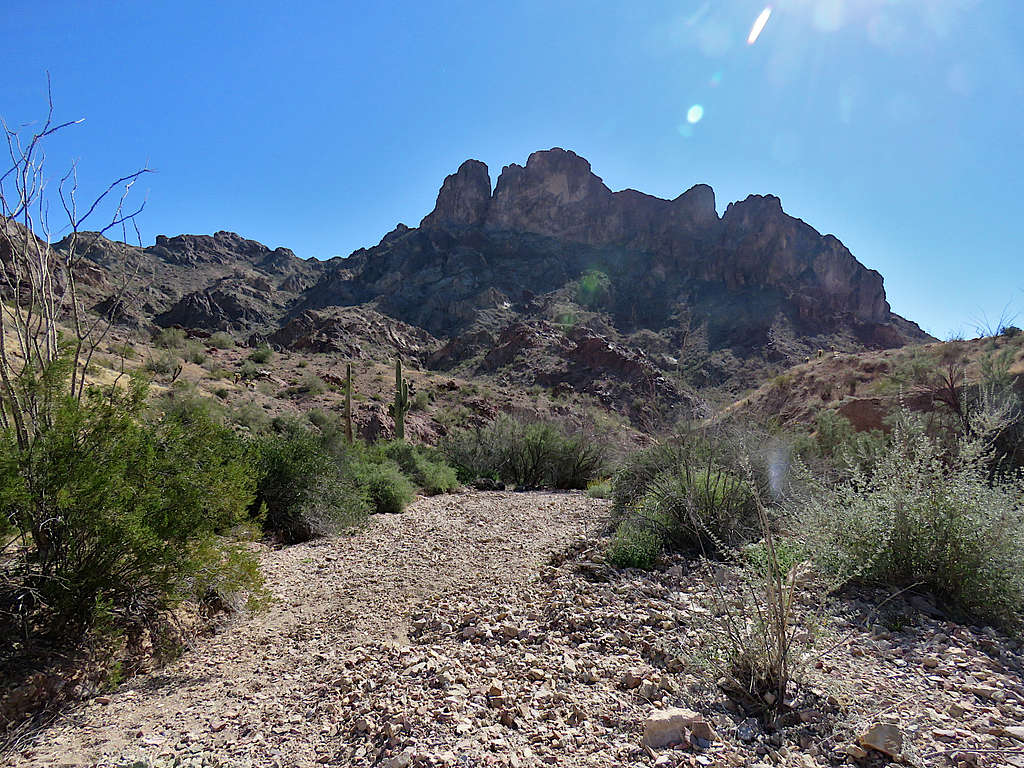
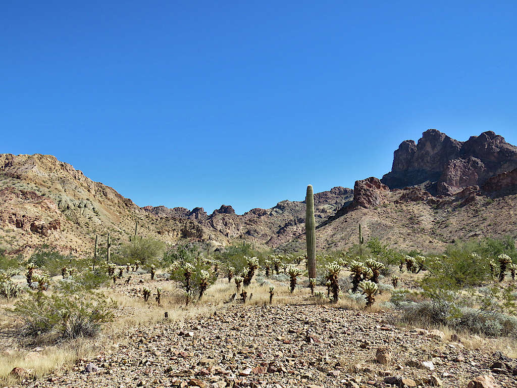
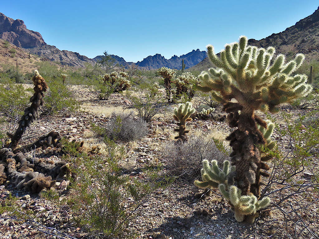
Getting close to the start of the canyon.
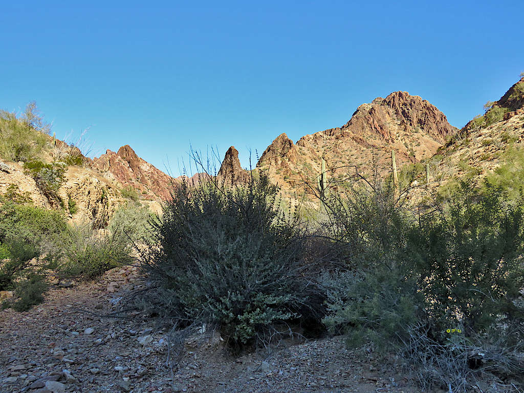
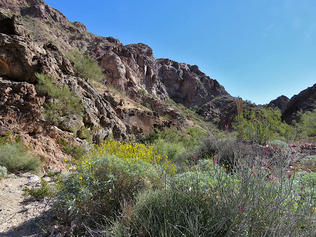
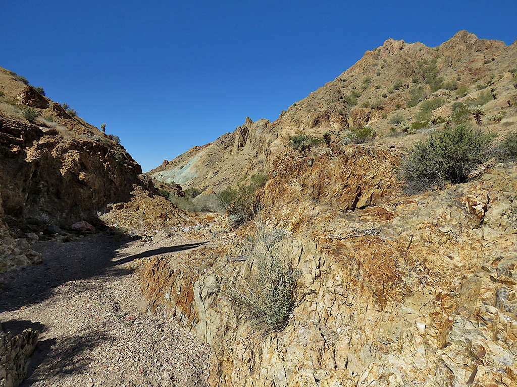
Inside the canyon.
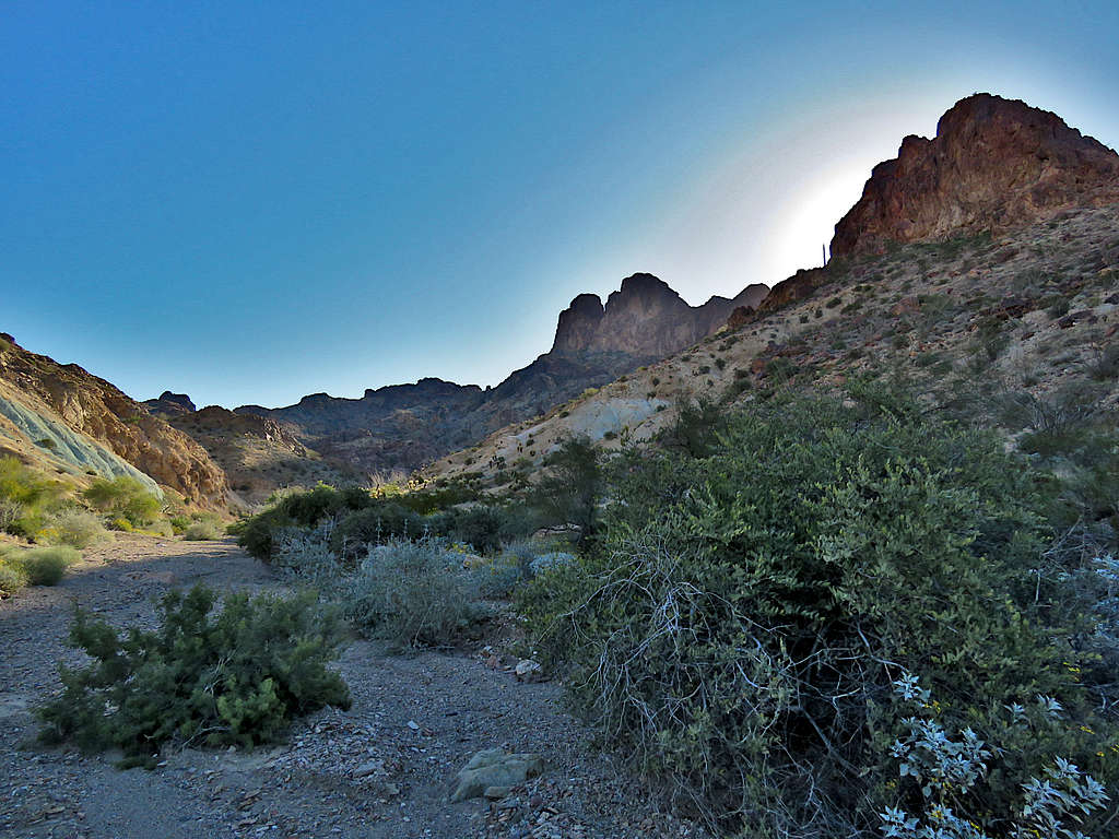
Peak 3370 ft.
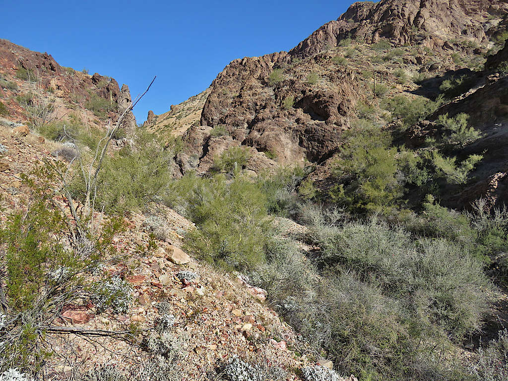
The canyon made a 135 degree turn and began to take me in a northwesterly direction.
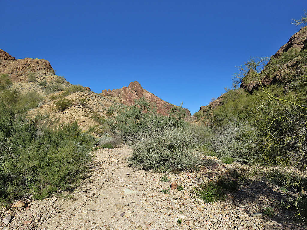
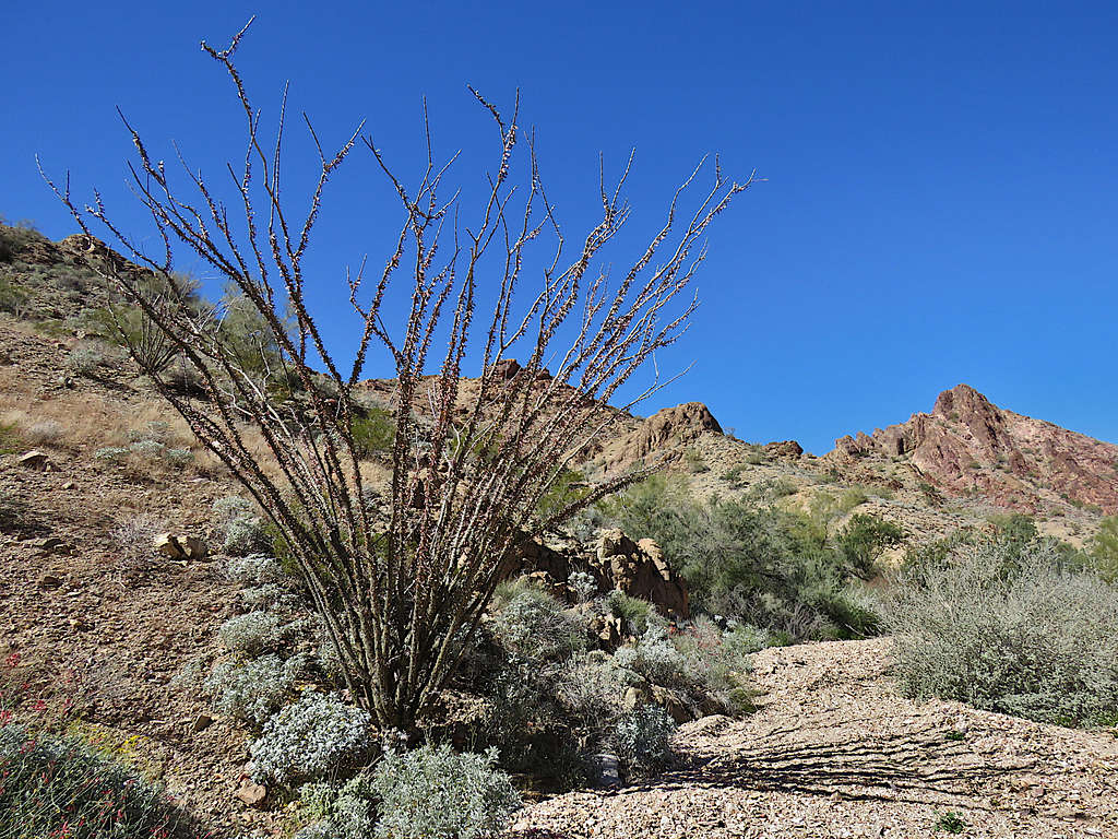
At first, it was easy to avoid the thorny bushes.
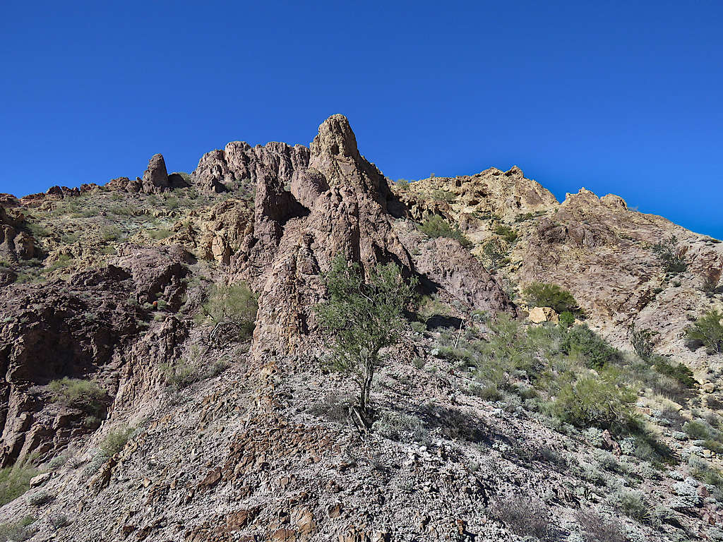
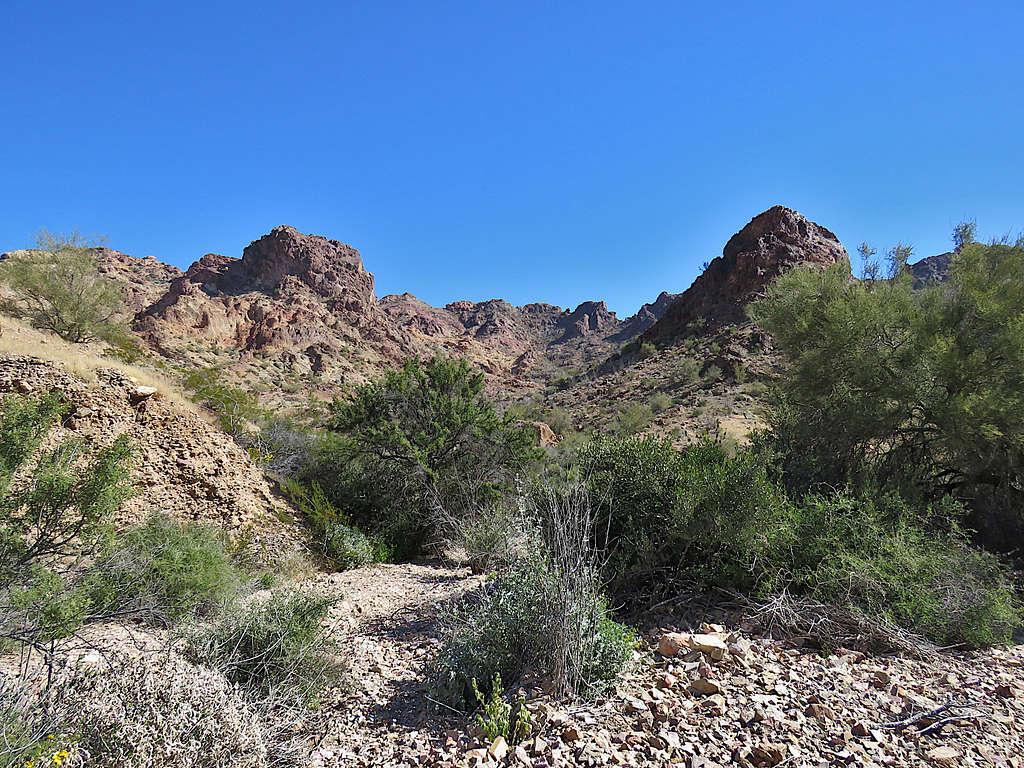
Then I ended up having to whack my way through the thorny bushes often. Had pants and long sleeves but the thorns still got me scratched. I was getting kind of claustrophobic thinking that I had much more fun walking on the beautiful open plain, why did I get myself into that remote canyon? Point 2360 ft appeared as an impressive reddish horn.
Looking back at Peak 3370 ft.
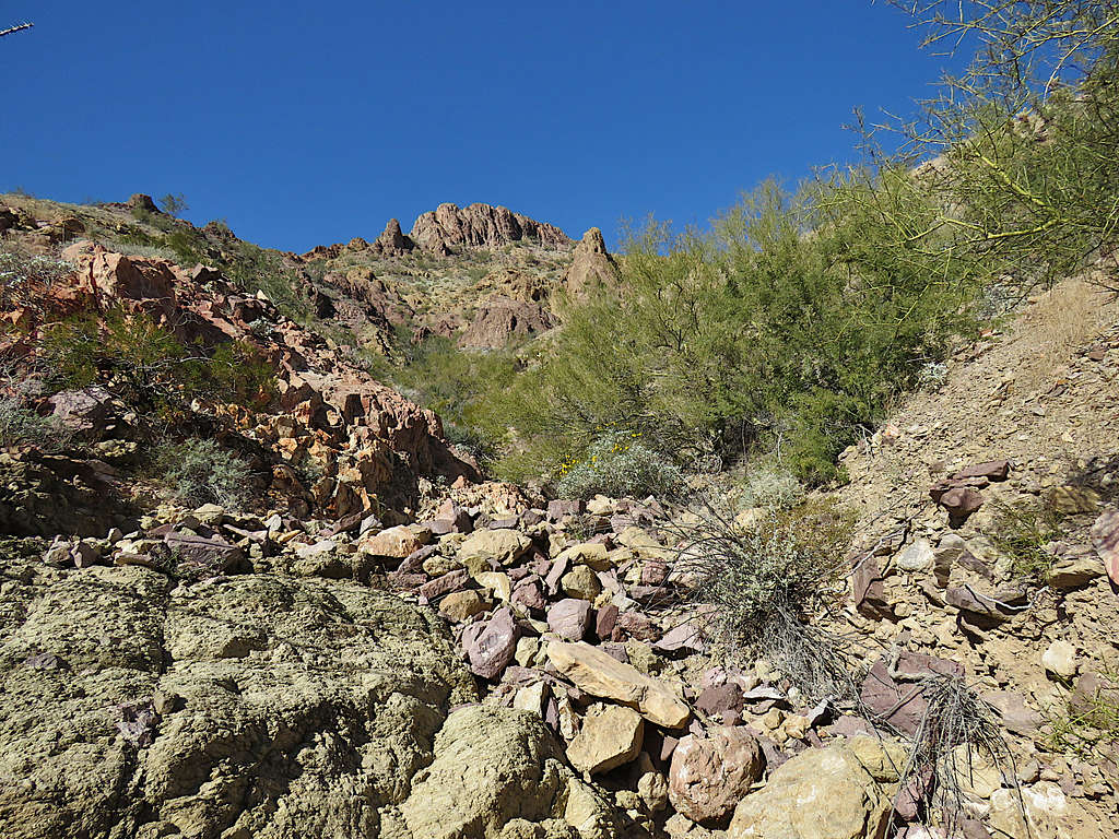
Soon I was at a spot where whacking my way through the thorns would have probably ripped my clothes and skin. Went up the steep scree covered left wall of the canyon bypassing the worst of the bushes before returning to the bottom of the canyon.
After going through an area of narrows at the base of the 2360 ft horn, the thorny bushes became less but the going became much steeper. I then looked at my GPS and saw that for the last 400 ft, I had been hiking up the wrong branch of the canyon (had not seen a split in the canyon). At that point, I had become very frustrated with the terrain.
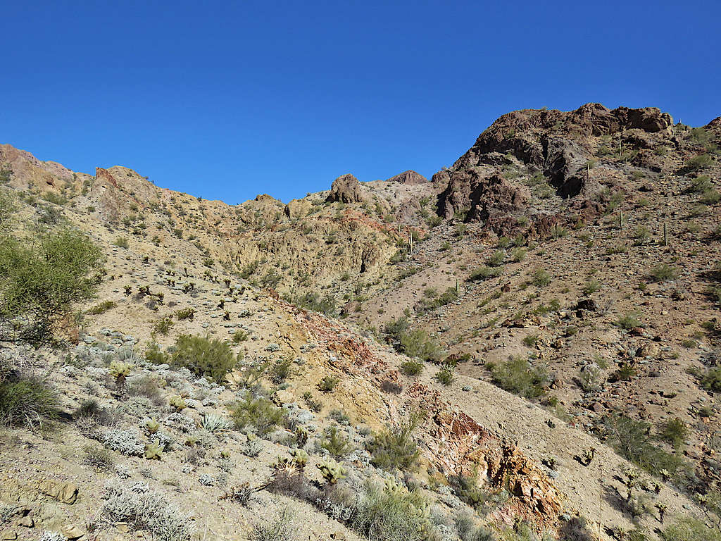
Instead of going back down the canyon to the split, I decided to go up a steep slope hoping to reach the correct branch faster. Once up the slope, I saw that going down into the correct drainage would have required me to go down steep slopes of hard dirt that had gravel all over them making them slippery. A slip and fall could have led to significant injury. I was all alone in a remote area where I had not come across any signs of human presence. Decided to call it quits. The terrain was not all that difficult, but I just did not want to continue. Went a little higher for better views and sat there to have lunch. It was 10:40 AM, elevation was 2280 ft and I had hiked 5.63 miles.
Looking up toward the saddle where I originally wanted to go.
Summit of castle Dome Peak.
Peak 2790 ft.
Peak 3370 and the canyon I had hiked up. Horn 2360 ft in front/to the right of Peak 3370 ft.
Looking up the slopes where I was sitting.
Left at 11:00 AM and went back to the bottom of the canyon then began to go back the way I had come.
The 2360 ft horn again.
Looking back up the canyon.
Peak 2790 ft.
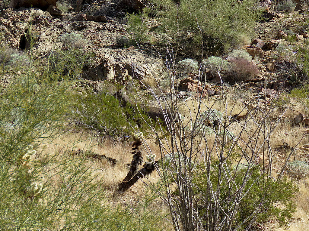
Caught the distant deer before it ran away.
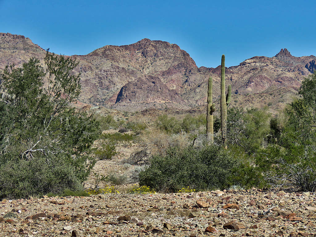
Peak 3370 ft.
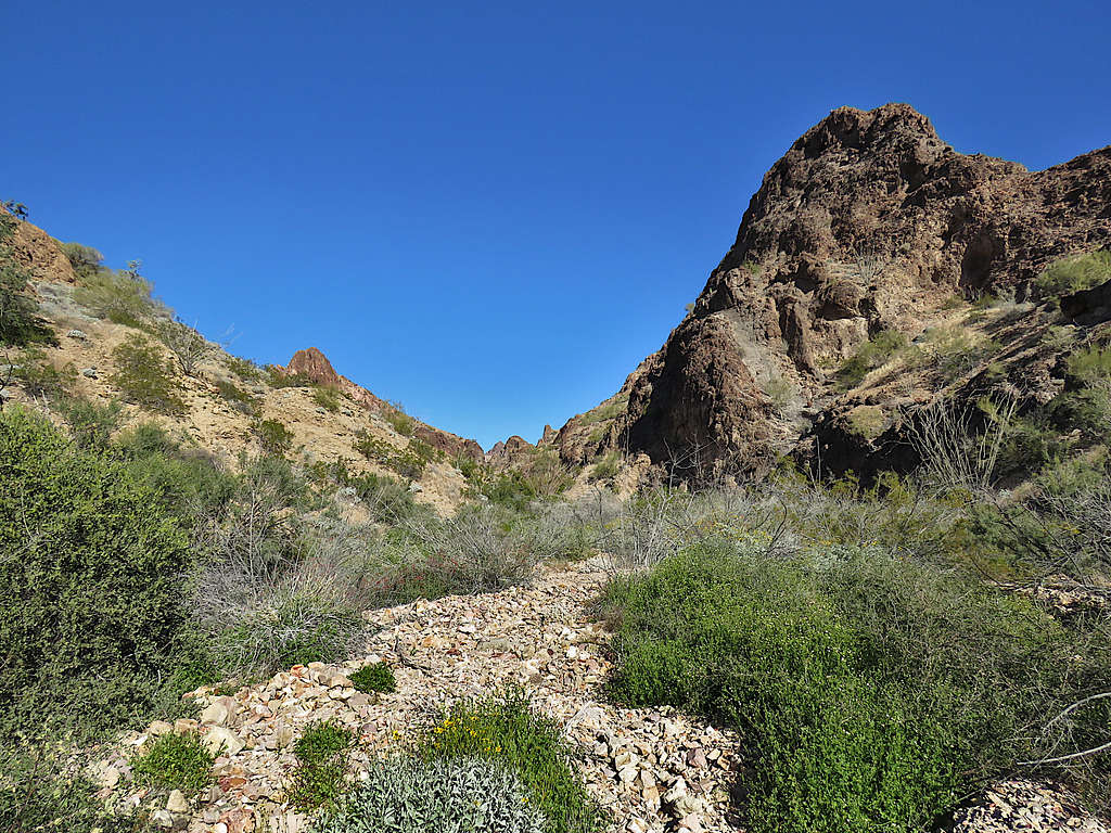
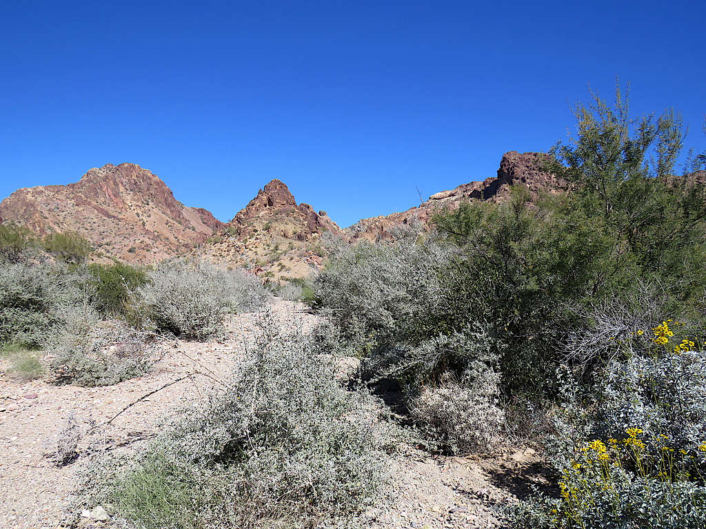
Lower canyon.
I was finally out of the canyon. Looking back at Peak 3370 ft.
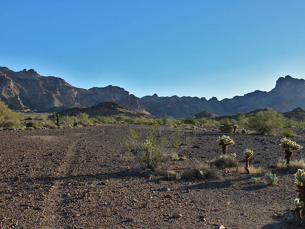
Walking back on the open plain.
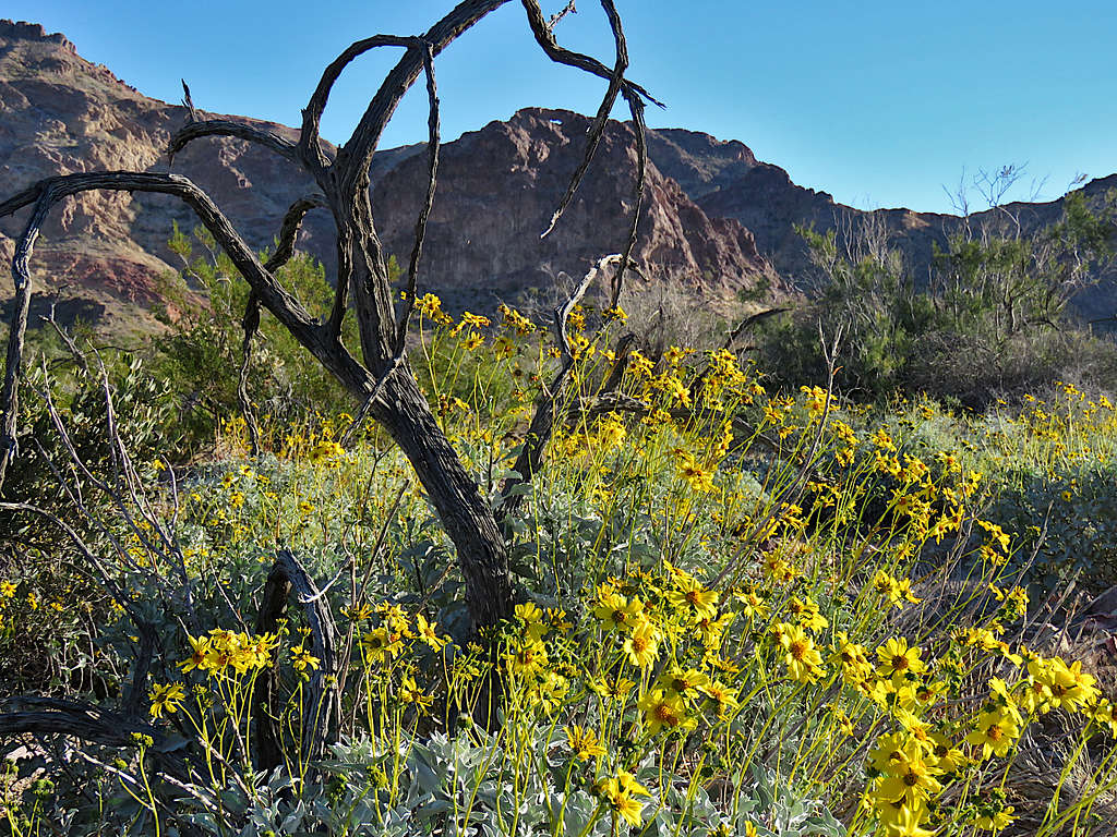
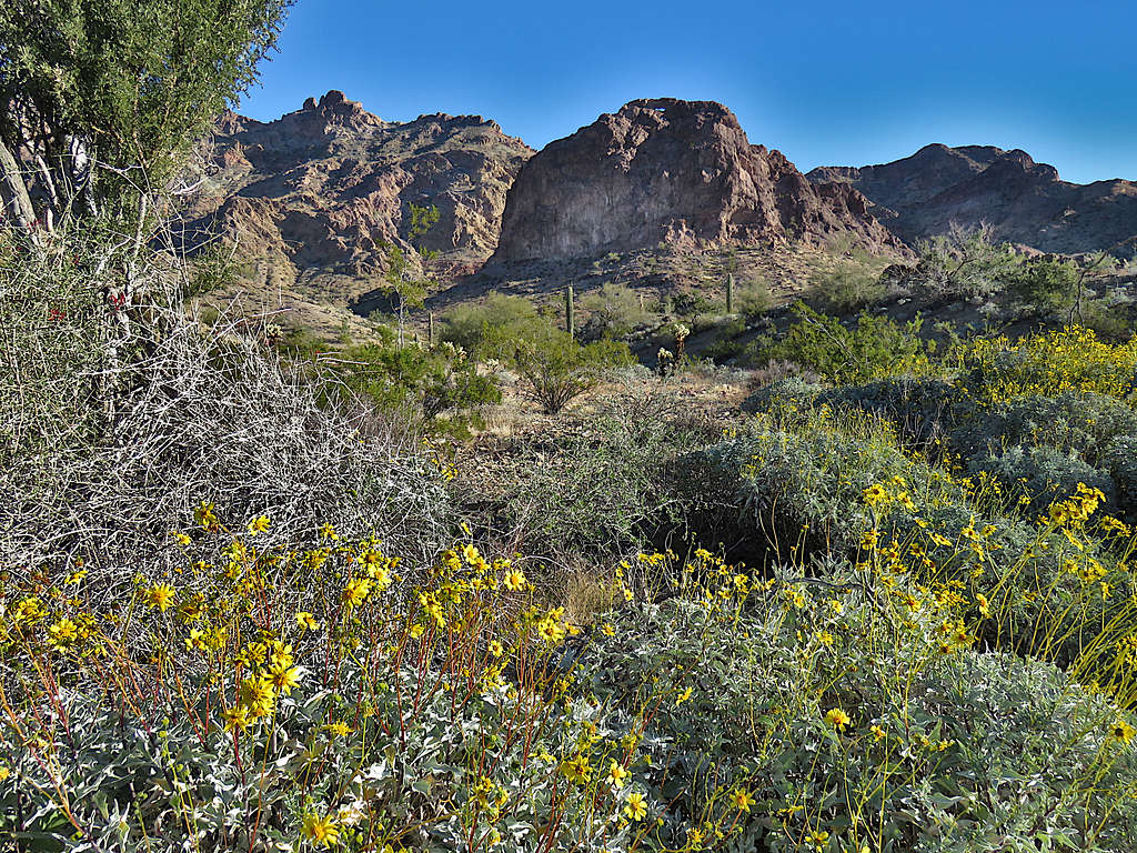
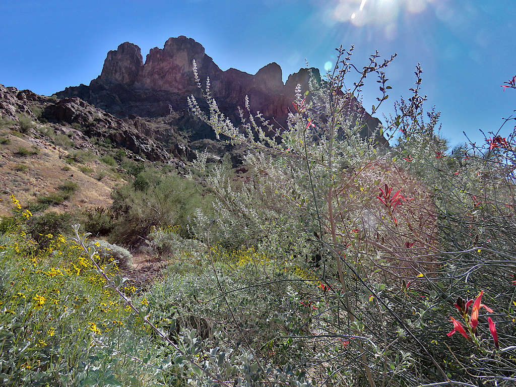
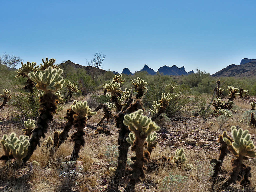
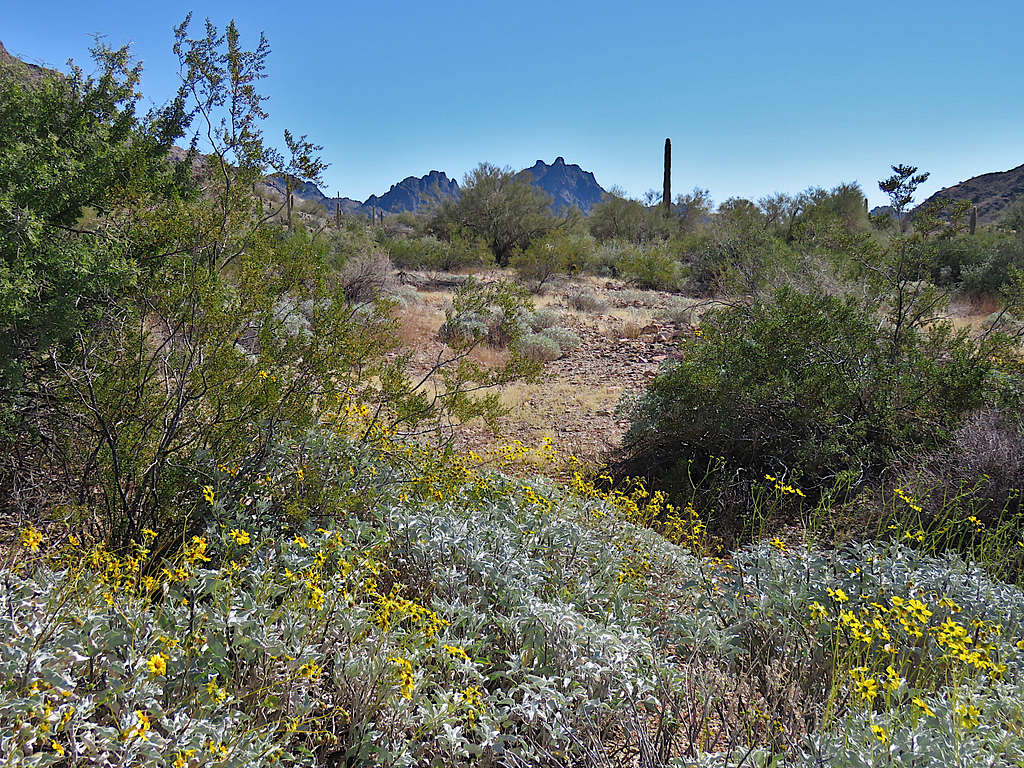
Flowers.
Peak 3370 ft.
Near the private property again.
Zoomed view of Peak 2790 ft.
Reached my car at 2:00 PM.