
Comments
No comments posted yet.
|
|
Trip Report |
|---|---|
|
|
34.72450°N / 98.7232°W |
|
|
Download GPX » View Route on Map |
|
|
Nov 23, 2020 |
|
|
Hiking |
|
|
Fall |
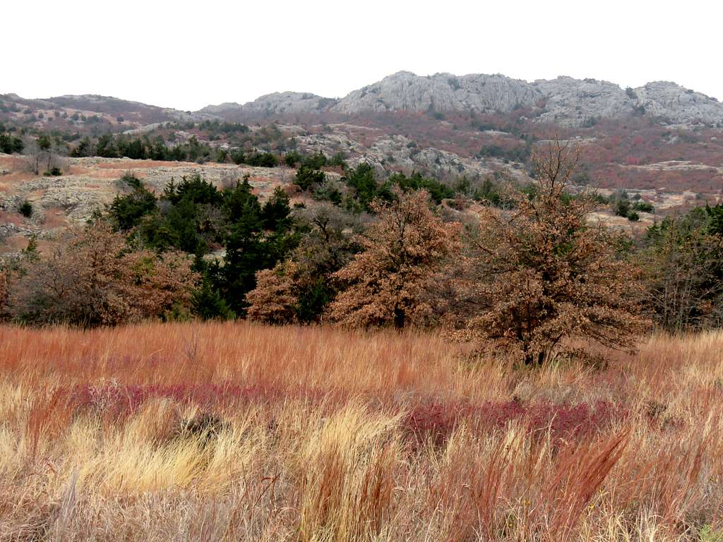
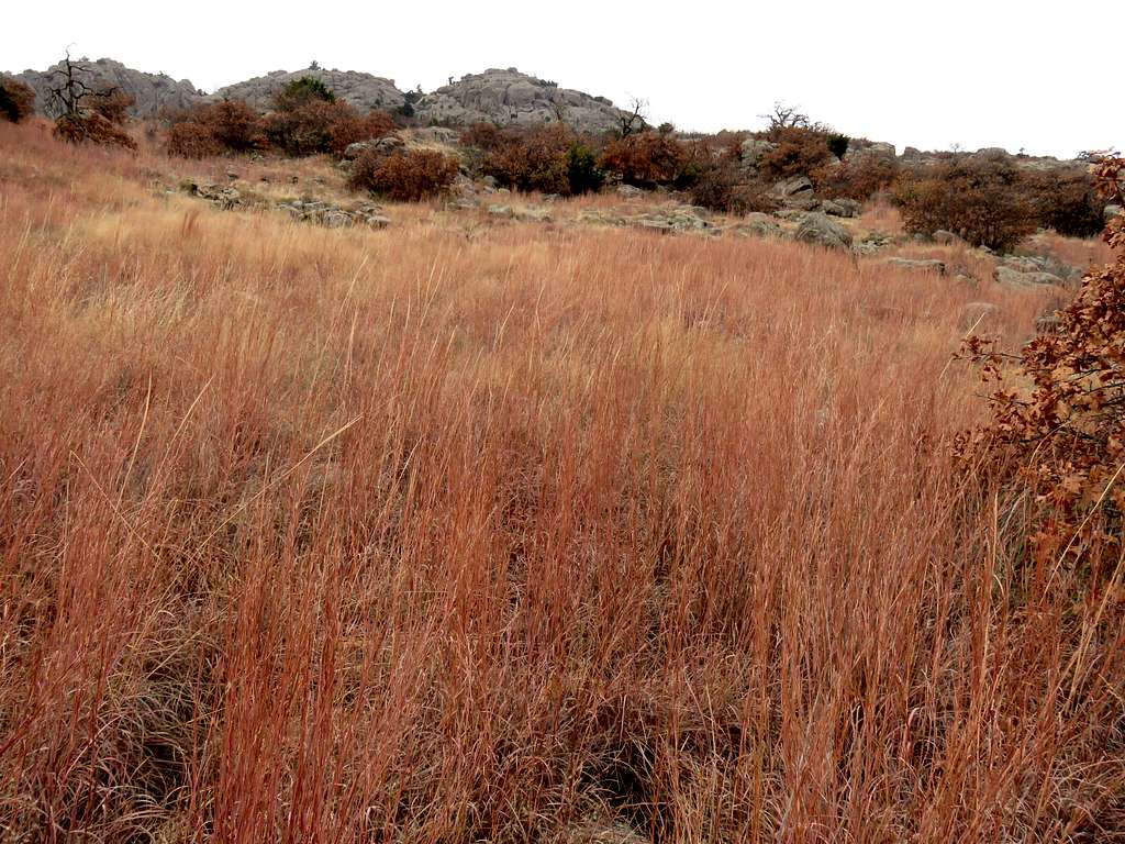
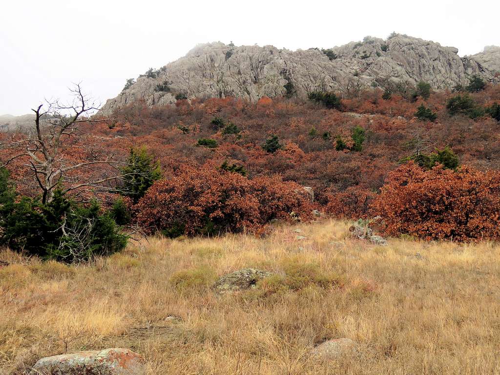
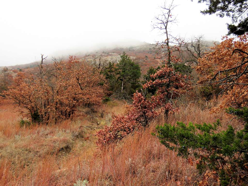
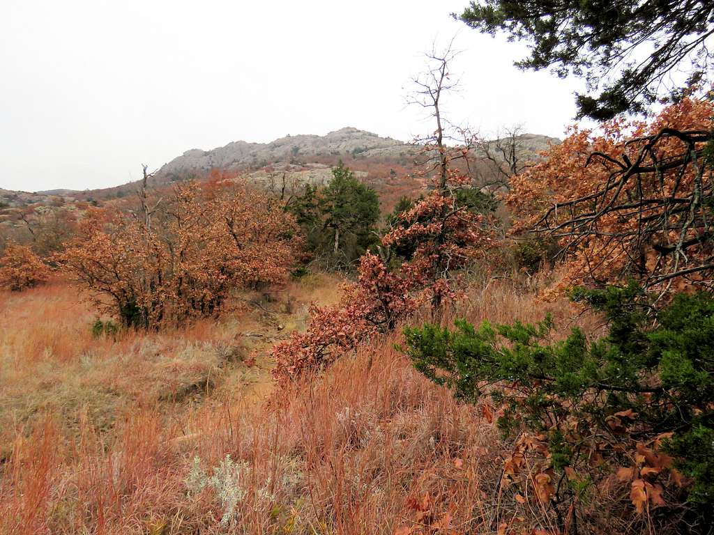
The 2270 foot high Elk Mountain is a huge block of granite rock that sits in Oklahoma’s Wichita Mountains National Wildlife Refuge. The block creates a plateau with approximate dimensions of 0.7 by 0.5 miles that rises 600 feet above the surrounding plains. A trail starts on the north side of the mountain and goes to the top of the plateau.
I hiked to the top of Elk Mountain on a cloudy day. Unfortunately fog blocked my view from the summit. After Elk Mountain, I went on Charons Garden Trail to reach a couple of boulders named Crab Eyes. I then explored two canyons to the west of Elk Mountain. The upper parts of one of the canyons was filled with giant boulders. Two big rocks known as Apple and Pear could be seen from the canyon.
Hike Length: 9.1 miles
Maximum Elevation: 2270 ft
Minimum Elevation: 1580 ft
Total Ascent: 1650 ft
Monday November 23, 2020
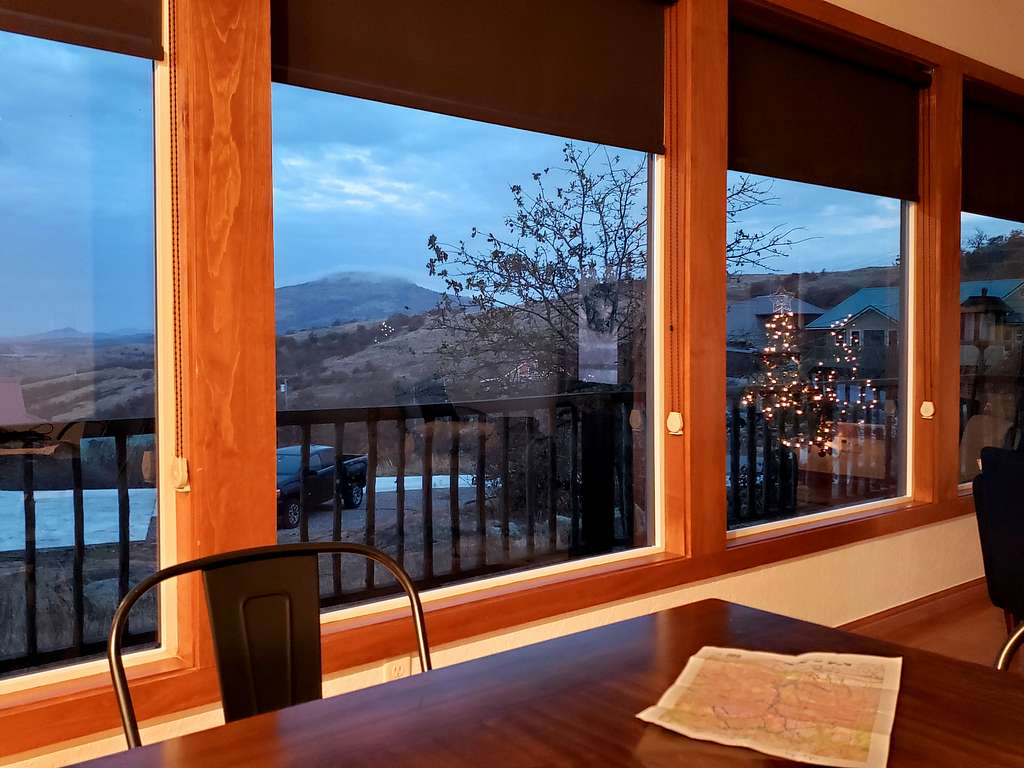
Forecast called for clouds but no rain. Mt. Scott was visible from the windows of the vacation rental house while I had my morning cereal.
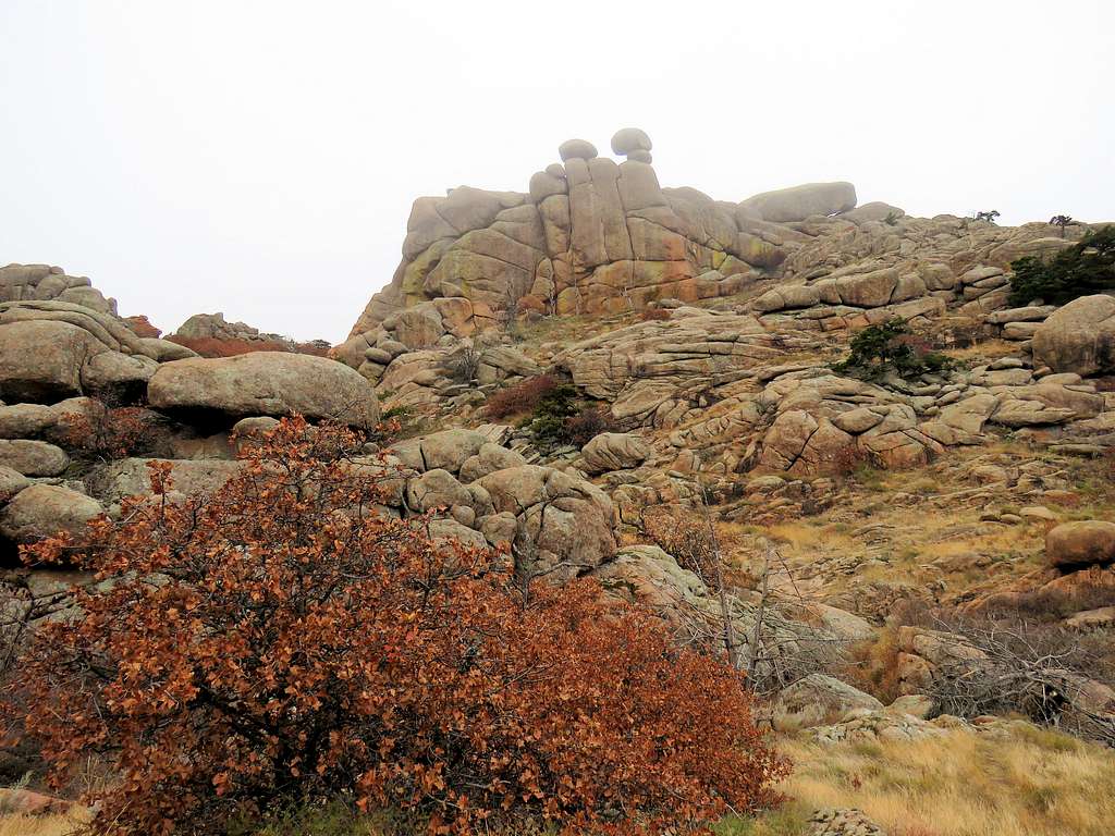
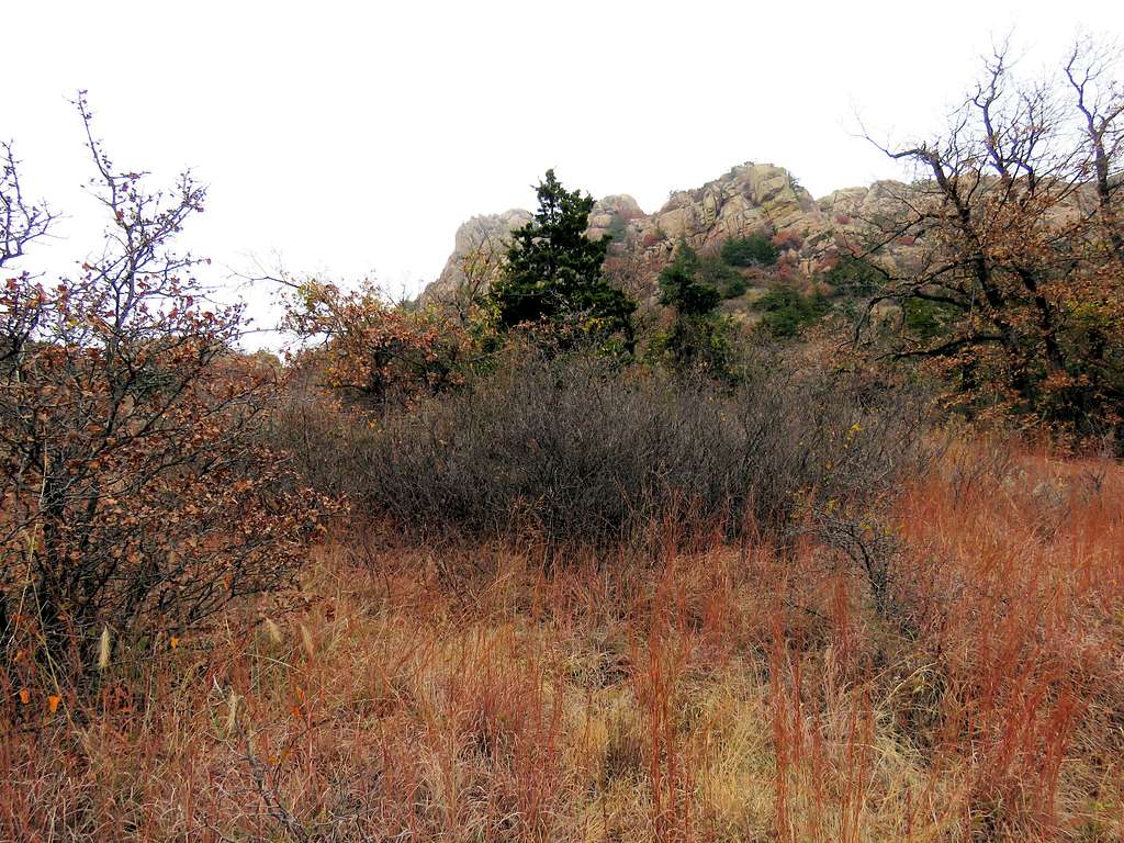
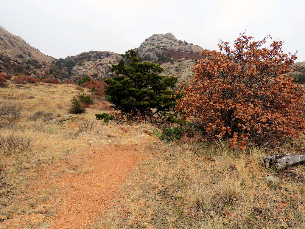
Left the house in Medicine Park, Oklahoma and drove 18 miles to Charons Garden Trailhead. Elk Mountain from near trailhead.
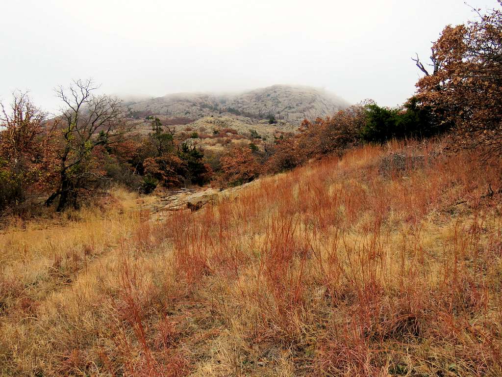
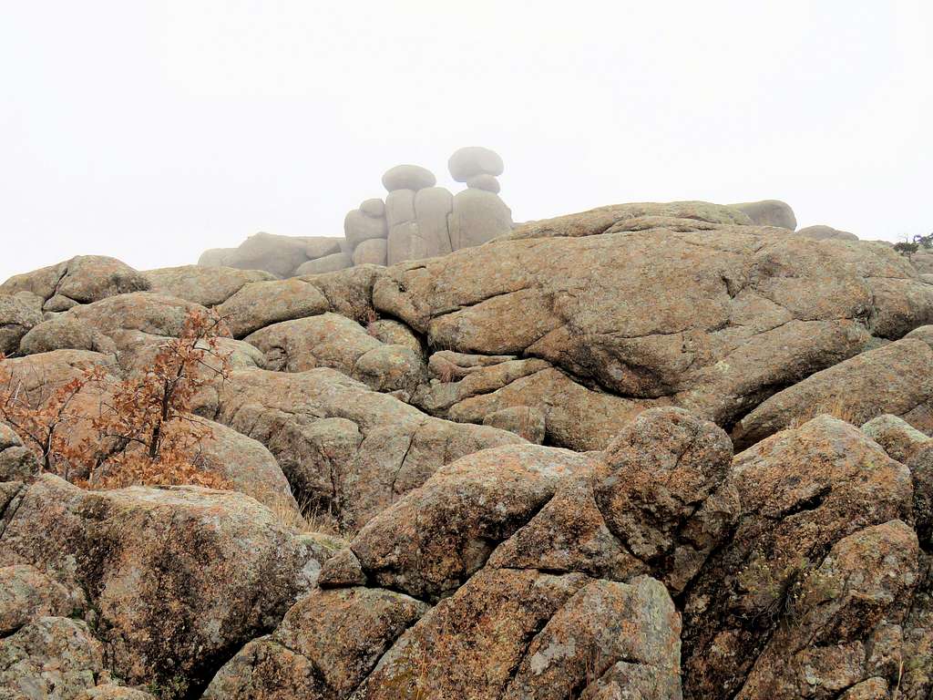
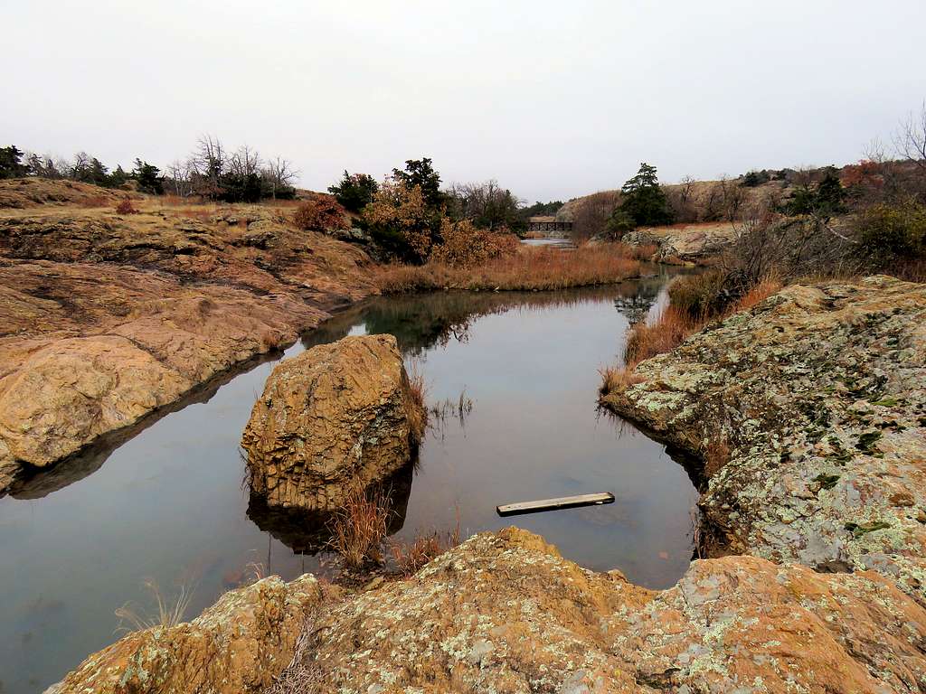
No one was at trailhead. It was cloudy and 39 degrees F. Elevation was 1660 ft. Started my hike at 8:15 a.m. Online mapping site Caltopo.com had shown two different paths (that joined together halfway up the mountain) going to the plateau on top of Elk Mountain. I had chosen to follow the western path and had entered it into my GPS. I could see two bridges crossing the stream in front of me. I first went on the eastern bridge and took this picture of Elk Mountain.
I realized that was not the path that I had entered into my GPS (although I later found out it was the main trail to the top of Elk Mountain). I returned and then crossed the western bridge which was really the trail to Charons Garden. Right after crossing the bridge, the trail to Charons Garden turned right but I could see a beaten path going straight which I began to follow. The path started to go up the slopes of Elk mountain. In many places the path was not well defined but I had it in my GPS.
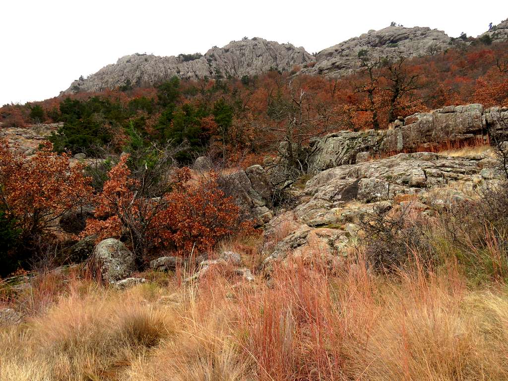
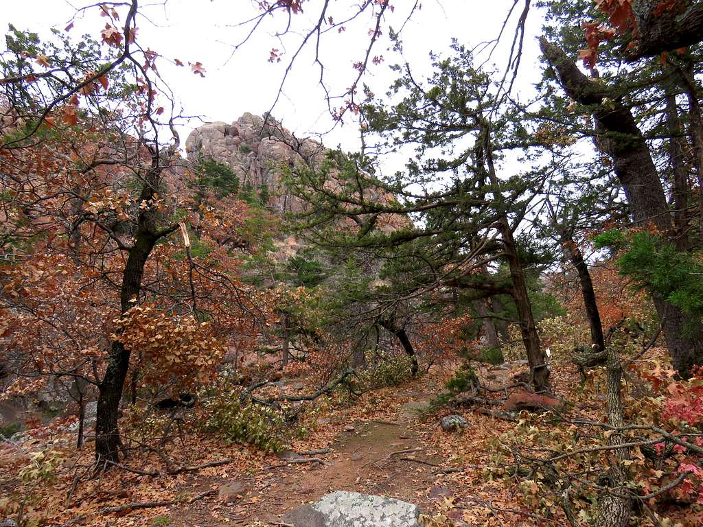
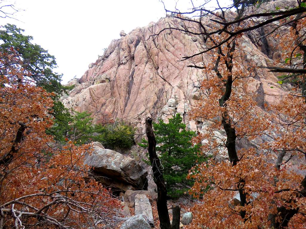
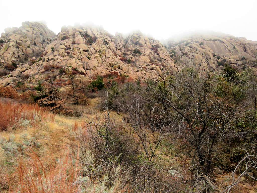
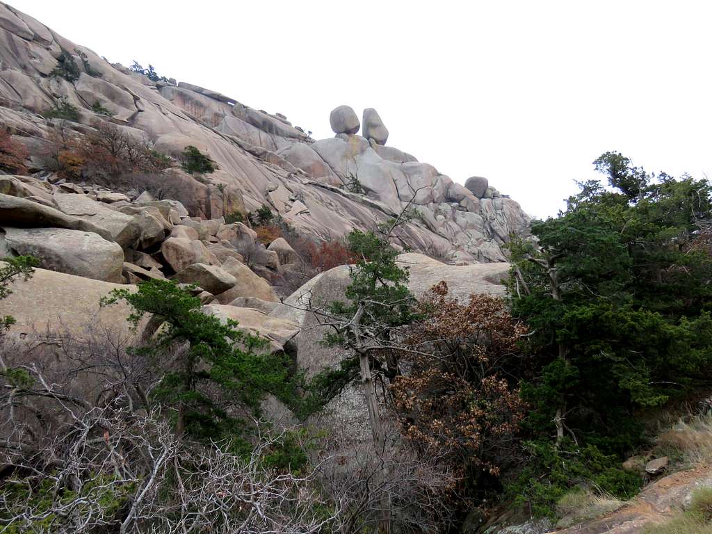
Cliffs of Elk Mountain rose to my right.
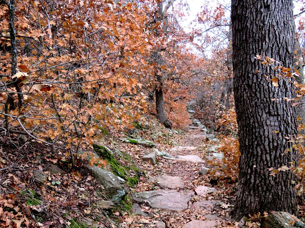
After a while, I noted that the trail appeared very well established going through a forested area.
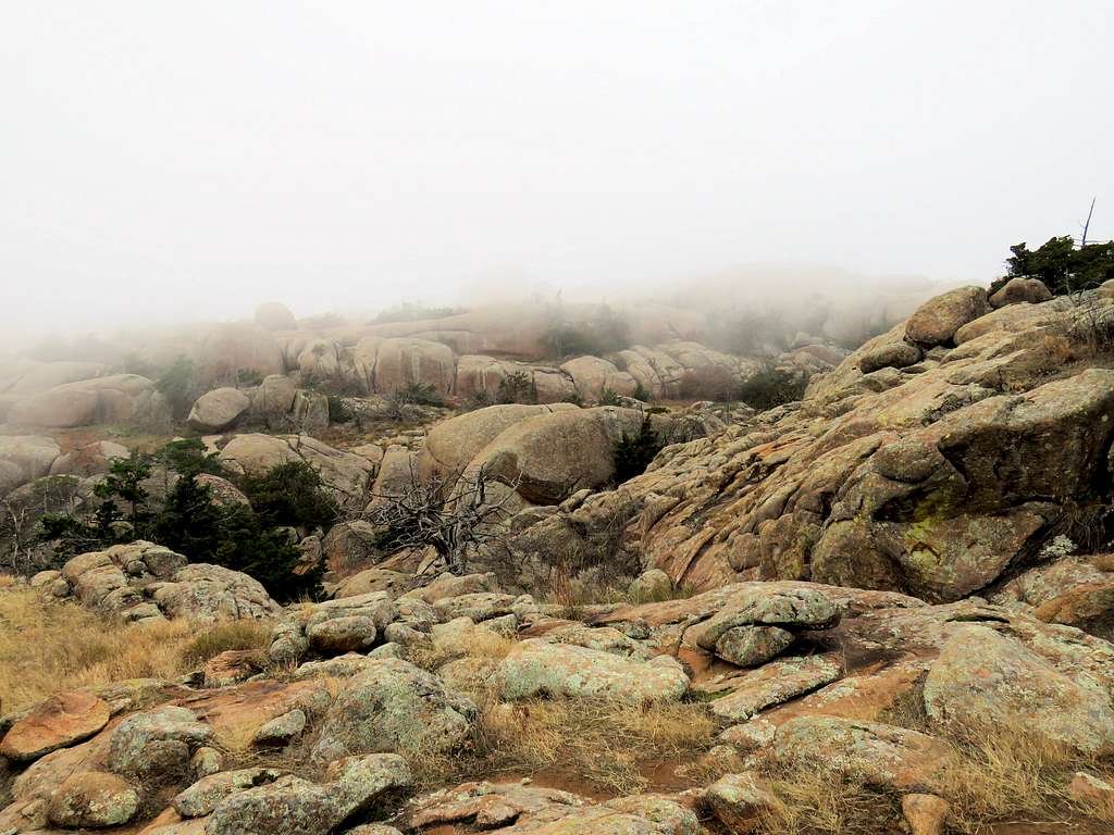
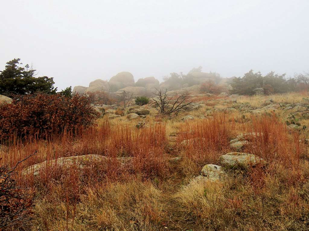
The clouds began to descend making the clifftops hide in fog. I soon reached the top of the foggy plateau. Was bummed that I was not getting any views. That was Oklahoma for Gods sake, not the pacific northwest. The trail faded away. I walked in the fog to the northern edge of the plateau hoping to get a view form the top of the cliffs but nothing could be seen. It was 9:15 a.m. and I had hiked 1.6 miles.
I then began to go down the trail. Soon got out of the fog but the clouds continued to obscure the top of the mountain.
As I kept going, the rail remained very well established. I noted that I was going down a path different than the one I had gone up. That path took me to the eastern bridge. I reached my car at 10:10 a.m. and 3.3 miles of hiking. There were other people and cars in the parking area. I sat in my car and ate my sandwich.
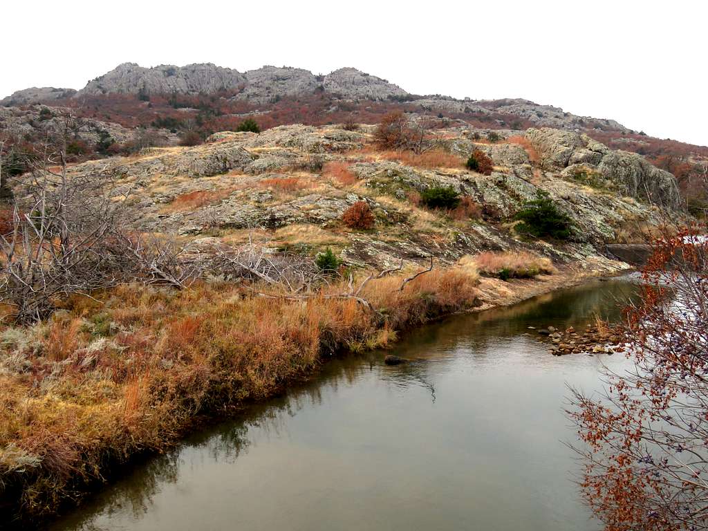
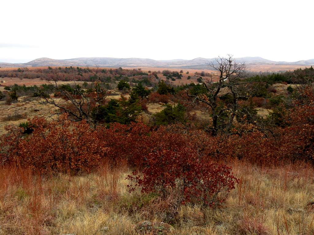
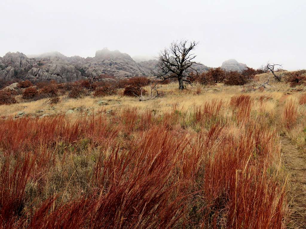
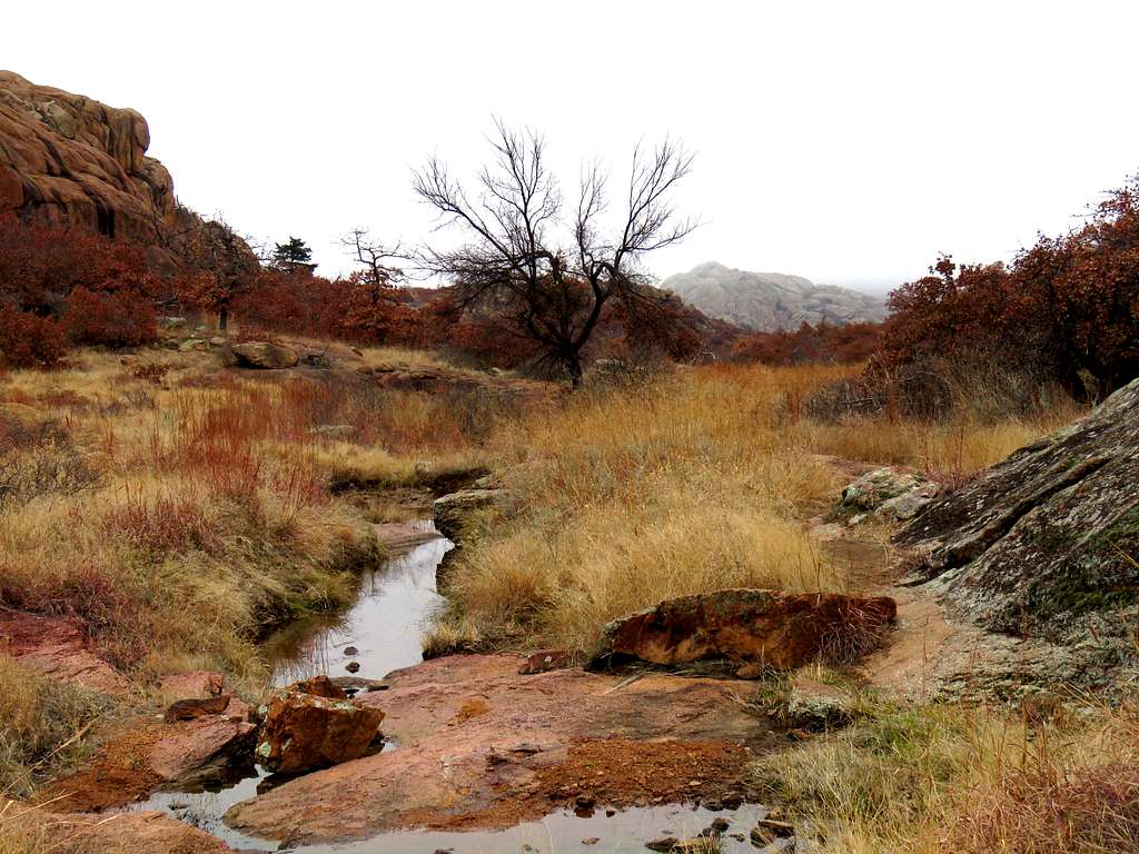
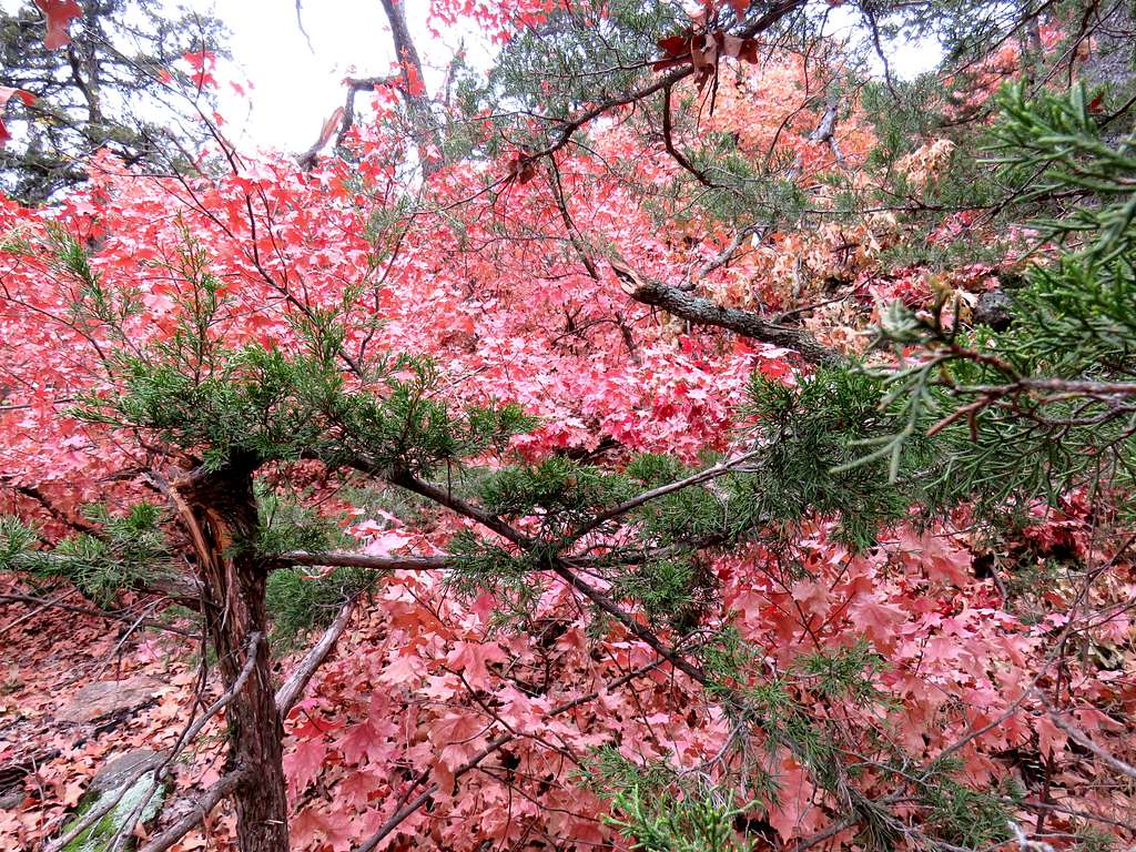
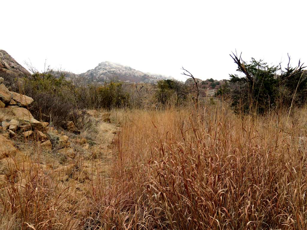
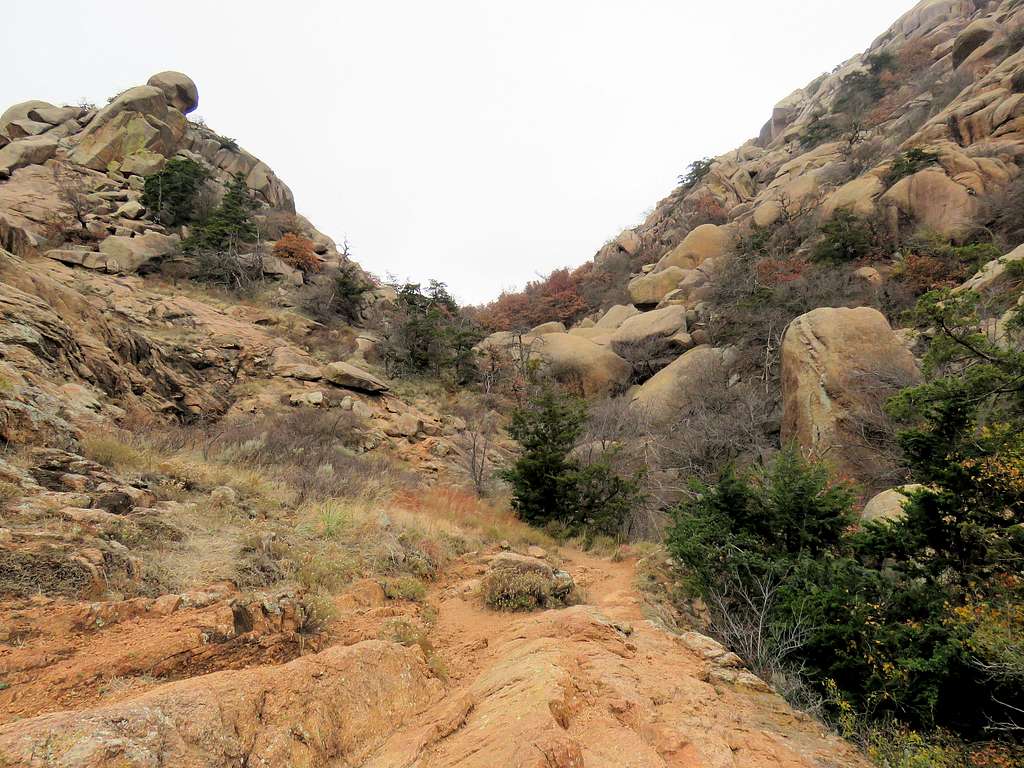
Left at 10:30, crossed the western bridge again and began to follow Charons Garden Trail. The trail headed west going in a forested area with no views following Headquarters Creek. After crossing a couple of side trails to Treasure Lake, Charons Garden Trail went up to a 1770 ft high plateau where I got views of rocky Mountains to the south.
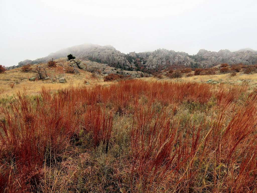
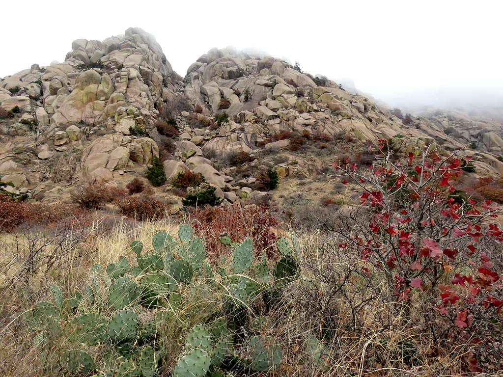
Down by a stream and then up again, the trail reached near a couple of boulders named Crab Eyes. It was 11:20 a.m. and I had hiked 5.15 miles.
A number of people were a little farther up the trail. Due to COVID-19 pandemic and concerns for social distancing, I did not go any more. Took these pictures and began to go back the way I had come.
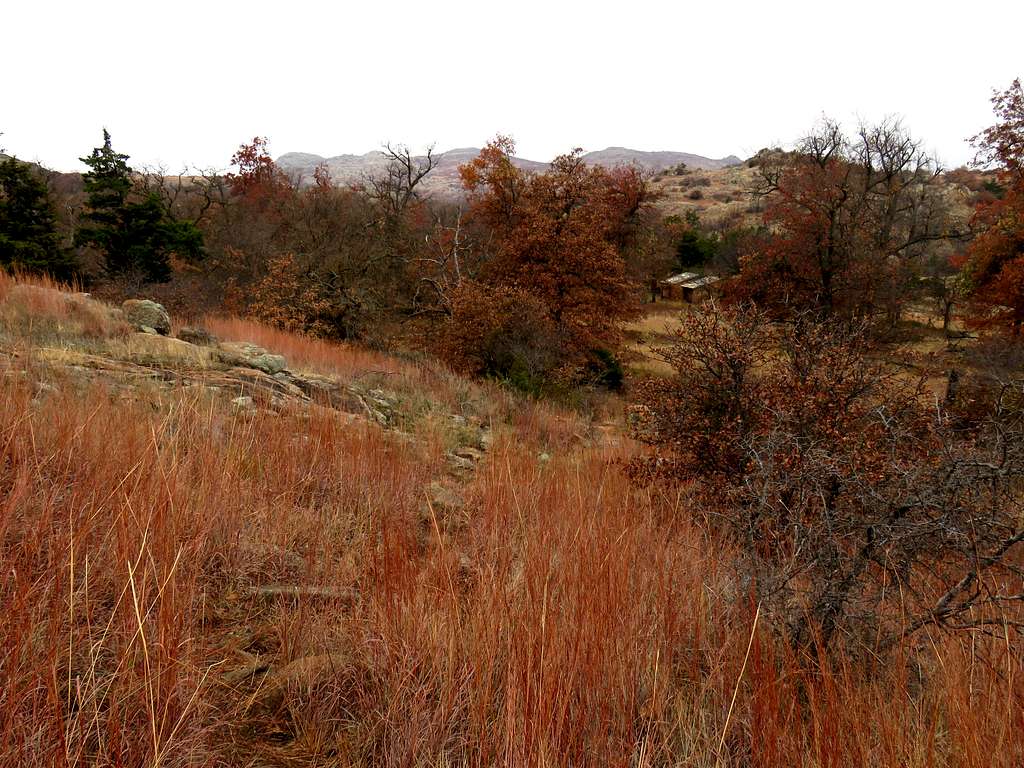
At 11:50 a.m. after 6.05 miles of hiking, I reached the junction with the first of the two side trails that went south to Treasure Lake and went on that trail. Soon a canyon that was somewhat overgrown formed. The trail was not well defined but the going was not too bad.
The canyon opened up into a grassy drainage where I reached the second of the two trails that went to Treasure Lake.
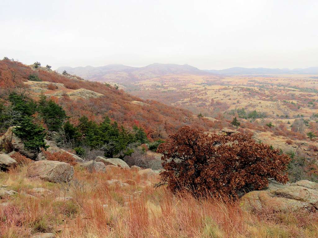
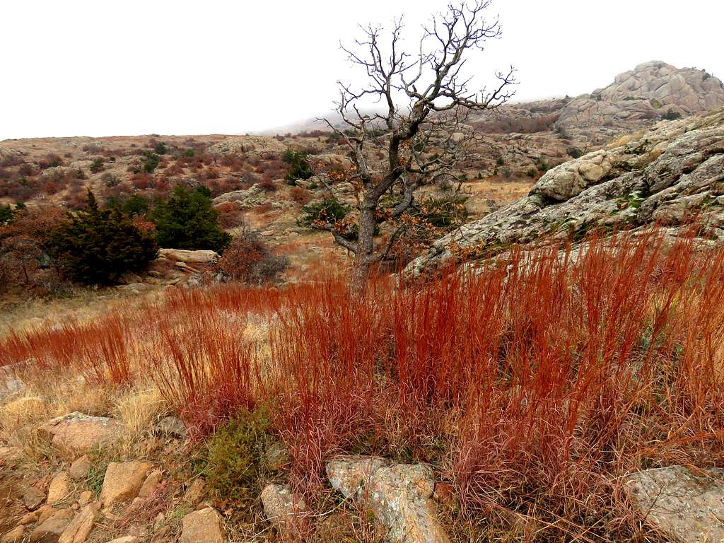
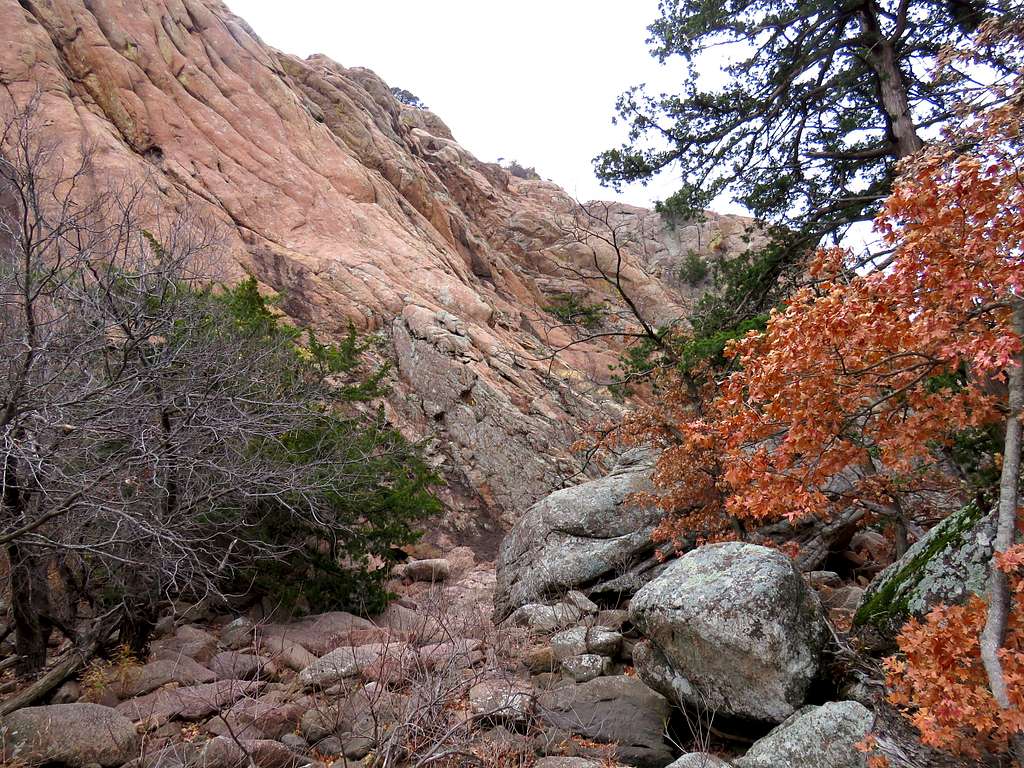
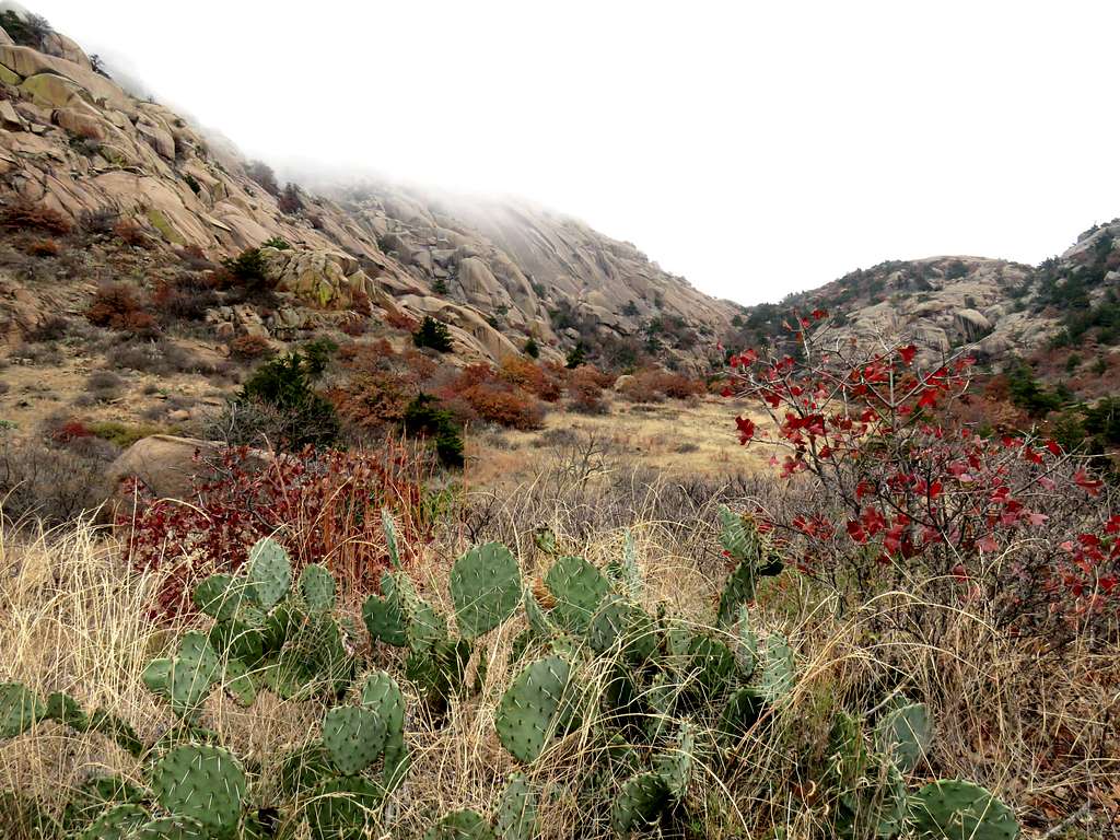
My goal was not to go to Treasure Lake. I turned north on the second trail and began to walk toward Charons Garden Trail but first went on a spur trail that took me up a drainage on the south side of Elk Mountain. The top of Elk Mountain was still lost in the fog but I could see its southern slopes which were made of steep granite slickrock.
Continuing down the trail.
I reached a dry creek bed where I sat by a large boulder to eat and rest. I had hiked 7.35 miles. Good view of the south face of Elk Mountain.
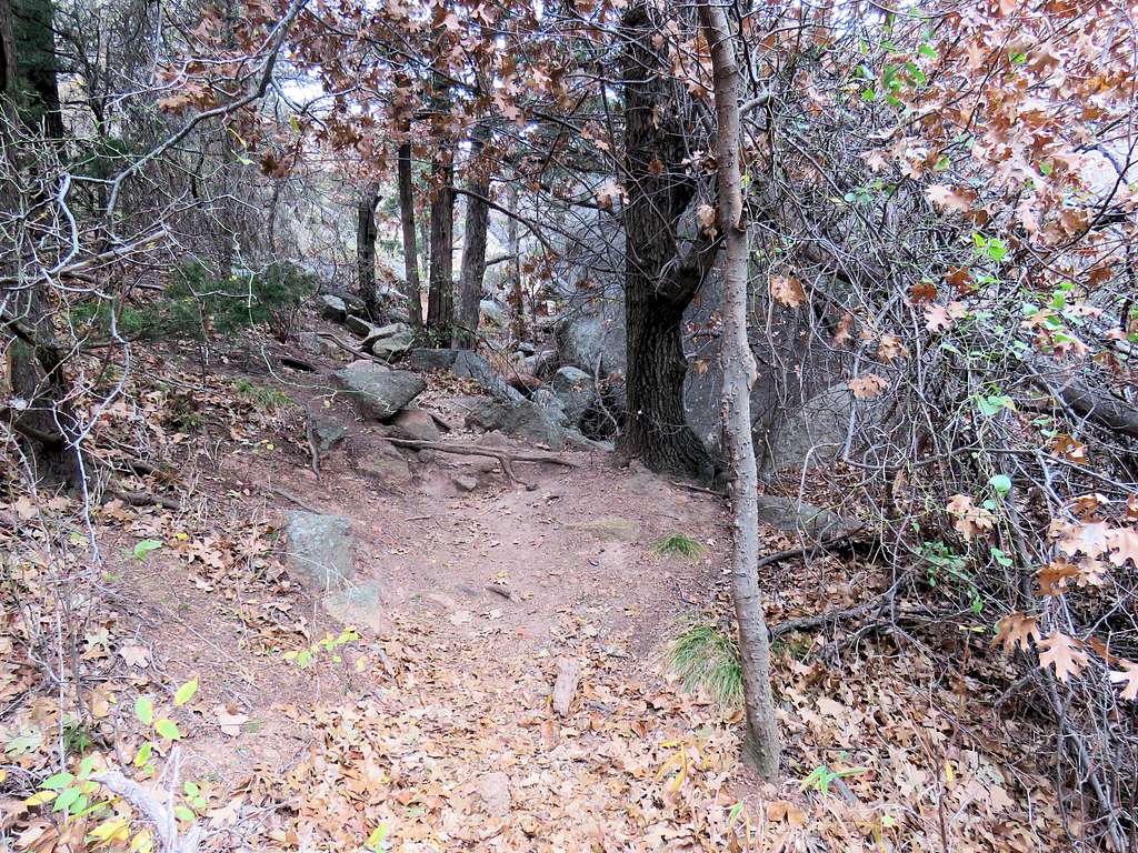
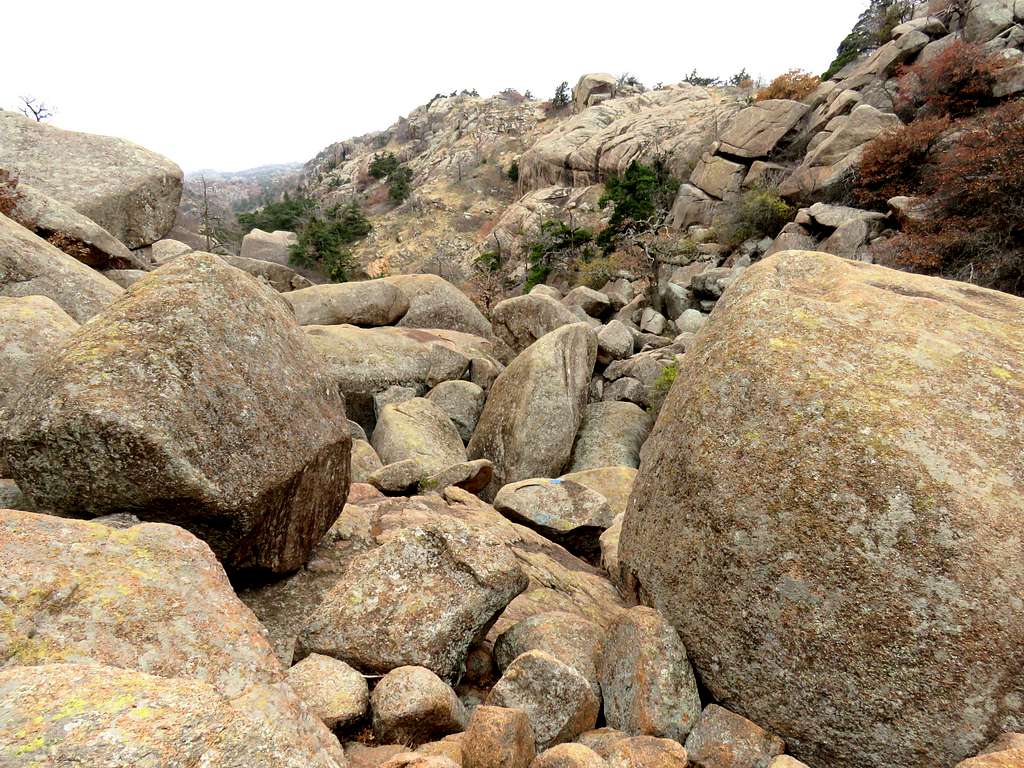
After a short rest, I went back to (what I called) the second trail to Treasure Lake and began to go north toward Charons Garden Trail. A tight canyon that was filled with huge boulders formed.
The trail got squeezed into an area of trees between mountain slopes to the left and huge boulders to the right.
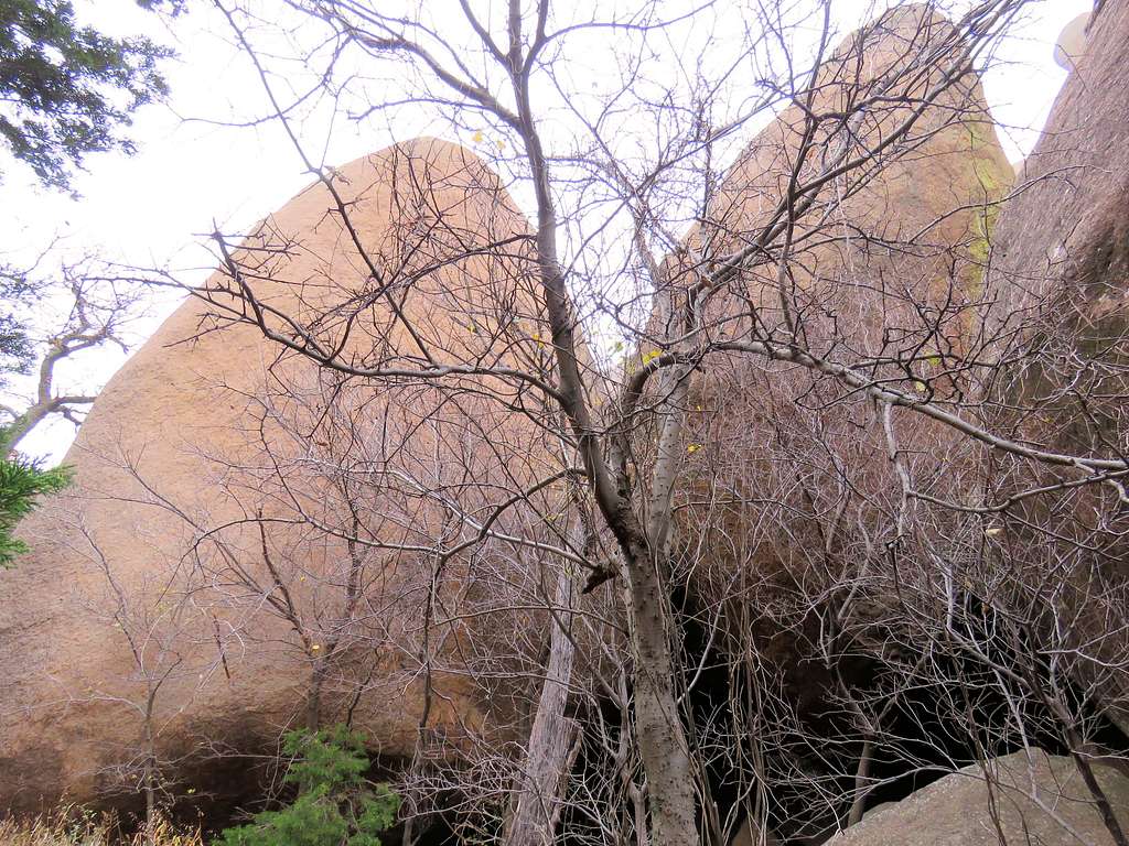
The boulders known as Apple and Pear.
Out of the trees, the trail seemed to be heading toward a saddle but I first had to go over giant boulders car size and bigger.
I then reached a spot where it seemed like I had to do minor rock climbing. I figured that was not the correct path so I went over the boulder field. The boulders were huge and you had to walk over the tilted surfaces of the boulders that sometimes made steep angles. Deep holes were visible between the giant boulders. A slip and fall into one of those literal hell-holes would surely have very grisly consequences. I went a short distance over the boulders but soon decided that I should not be doing that all alone. Went back to the spot where I easily climbed a couple of rocks and then got on a path that bypassed the boulder field. Took this picture looking back at the boulder field. Not seeing the holes in between the boulders, of course made it not appear scary.
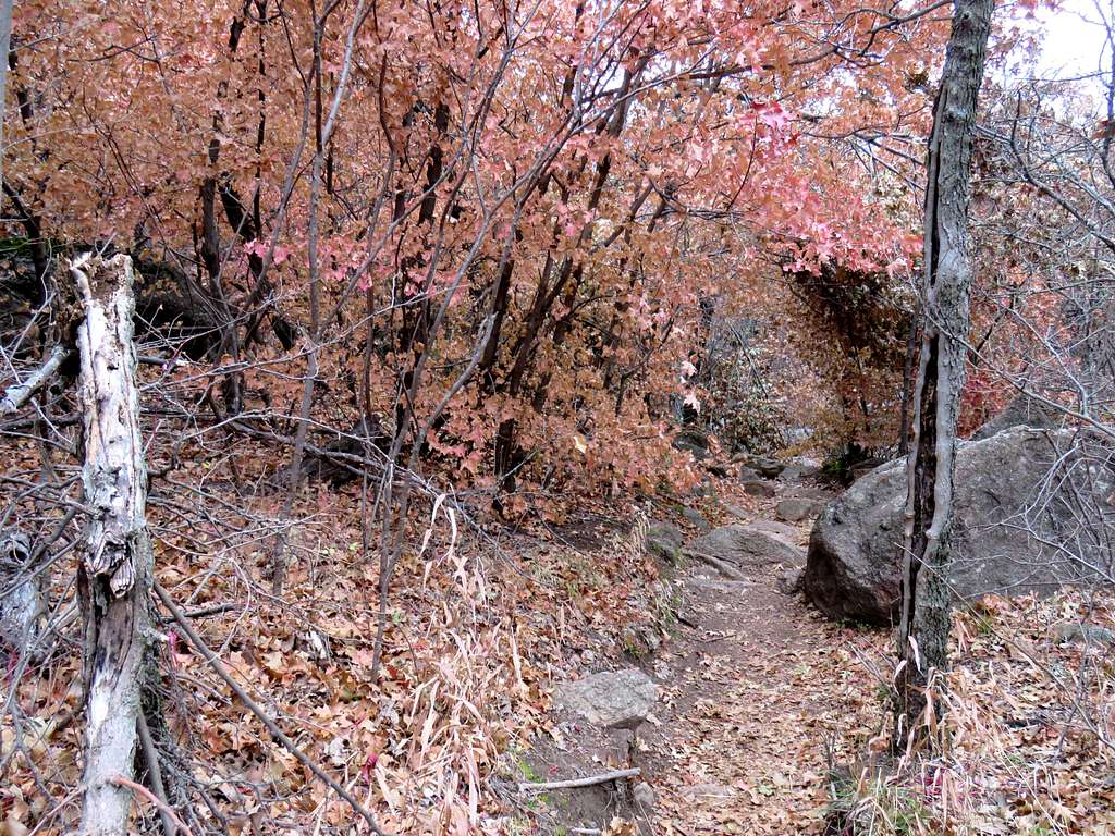
Back to Charons Garden Trail.
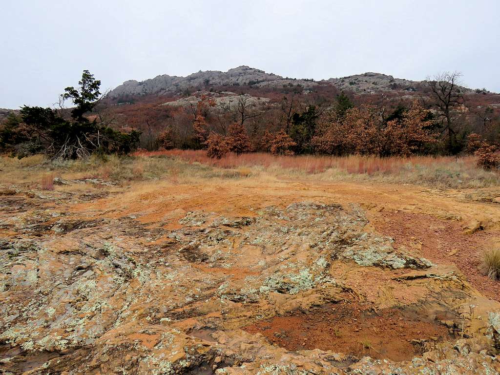
Then walked back to my car where I reached at 2:00 p.m. Views of Elk Mountain (which had come out of the clouds) along the way.