Toggle navigation
Mountains
Routes
Images
Trip Reports
Forum
What's New
People
Areas & Ranges
Articles
Trailheads
Canyons
Huts & Campgrounds
Albums
Logistical Centers
Fact Sheets
Lists
Custom Objects
Gear
Plans & Partners
WELCOME TO SUMMITPOST
SIGN IN
REGISTER
Royal Arch Loop Route
Additional Parents
Image
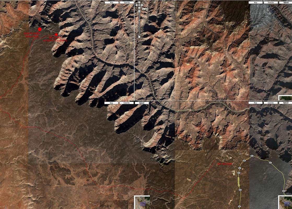
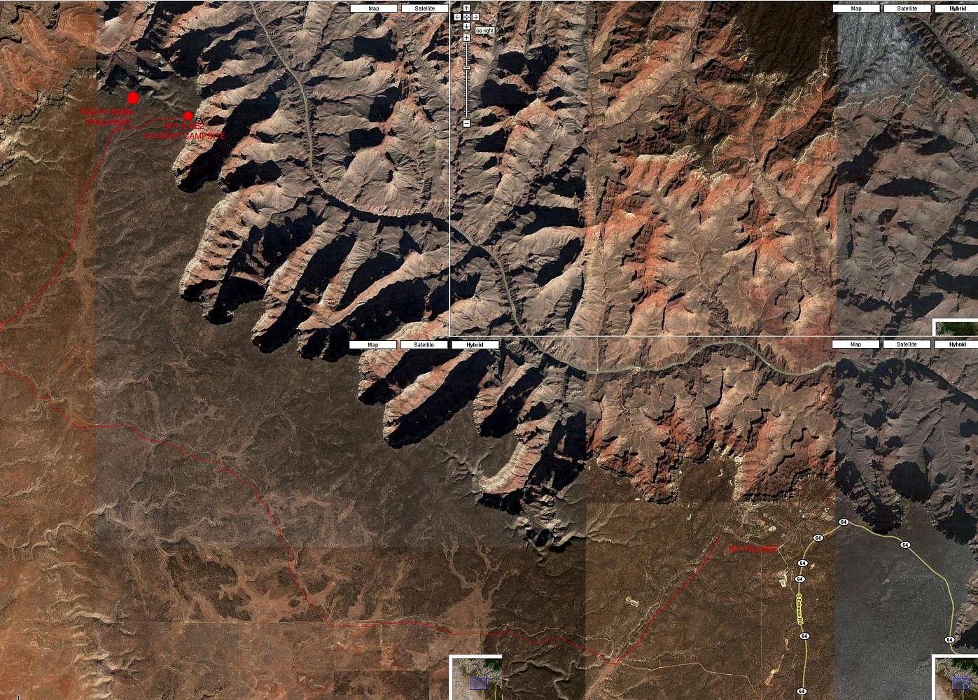
Grand Canyon Village to South Bass Trailhead
View High-Resolution Image
Grand Canyon Village to South Bass Trailhead
This is the sat image of the road from the Grand Canyon Village to the South Bass trailhead. You need a 4X4 but it's pretty straightforward. We did it by night.
« PREV
NEXT »
SirT
on
Jul 6, 2007 1:45 pm
Comments & voting
Other parents
Lat/Lon:
36.18337°N / 112.37606°W
Image ID:
308502
3583 Hits
0
% Score
0
Votes
Log in to vote
Comments
No comments posted yet.
to post!
Don't have an account?
Royal Arch Loop Route
(Route)
« PREV
Viewing
#69 of 78
GALLERY
NEXT »
SirT's Image Gallery
« PREV
Viewing
#31 of 35
GALLERY
NEXT »
×
You need to login in order to vote!
User Name
Password
Remember me
Forgot your password?
Log me out when I close my browser.
Keep me logged in all the time.
sign in as a user
Don't have an account?
Register now for FREE
Rating available
Suggested routes for you
People who climb the same things as you
Comments Available
Create Albums
Register Here


