-
 5936 Hits
-
 72.08% Score
-
 2 Votes
Durango, CO: May 4th 3:30 PM.
The clock sitting at the bottom right hand of my laptop could not of been moving slower. As sounds of heavy equipment, crane whistles, and chop saws fill the air; my mind is else where double-checking all of the logistics for the 6-hour drive ahead of me to the south rim of the Grand Canyon. The busy Friday comes to an end, and I find myself driving into the sunset with the light gear and trail map needed for a successful R2R2R in a day attempt. With dusk hitting I find myself emerging from the snow-capped San Jaun’s and crossing the Arizona state line into the vast expanse of the Navajo reservation. As I have become more and more familiar with this aged and conventional land I have really grown to appreciate the traditions and culture that exist within the native people. I can’t help feeling that my Silverado turns into a time machine every time I come to this area of the US, which in the past month has been every weekend. Cowboys wrangling up cattle with a back drop of nothing but beautiful sandstone domes is my reward for deciding to gas up in Red Mesa, AZ and reminds me how simple life still is out here.
Tusayan, AZ: May 4th 10:30 PM.
Arriving an hour later than expected I pull into the Holiday Inn parking lot to find good friend Chase Randall blasting Lil Wayne and other gangsta rap. “Yo Brother! I found us a campsite just a few miles down the road!” Awesome I thought, as the first three times I came to the south rim of the grand canyon I never was able to find a campsite and had slept in the back of the truck. Well in typical Grand Canyon tradition after we arrived at our campsite we threw the sleeping bags out in each one of truck beds and settled in for the night.
South Rim of the Grand Canyon: May 5th 4:28 AM.
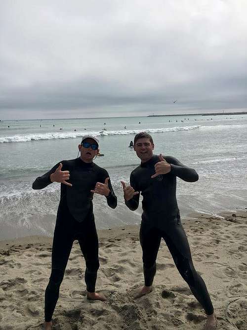
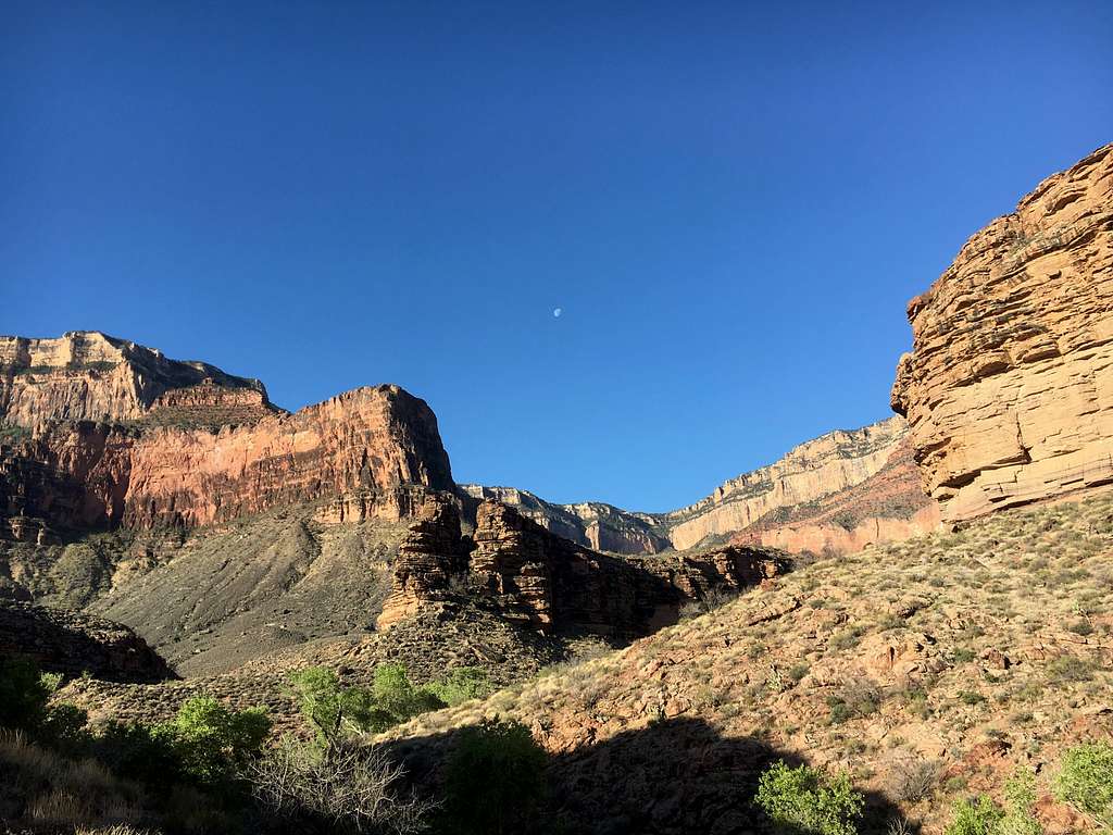
A short 4 hours of sleep was what we were going to have to work with as we started out on our 48 mile odyssey. Mistake #1 on the trip was taking more than hour to reach the trail head from waking up, regardless we had made through the first arch way by 4:28 am and the stop watch was kicked on. While it was pitch black you could see headlamps from other insane people tackling the challenges of the Grand in the dead of night. This descent into the canyon was by far the most enjoyable part of the trek as the weather, stoke, and sunrise all aligned perfectly. The next 2 and half hours would be spent catching up, talking about future life plans, the beautiful women of Scottsdale, and previous trips. One of those trips being just a month and a half before in Orange County, CA surfing with good friends, which is where the whole idea of doing the Rim to Rim to Rim in a day originated. Chase and I were both sitting out in the pacific when he explained his plan to do it solo. I quickly replied, “Need a partner man? Its only a 5 hour drive for me from Durango!”
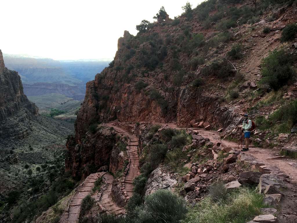
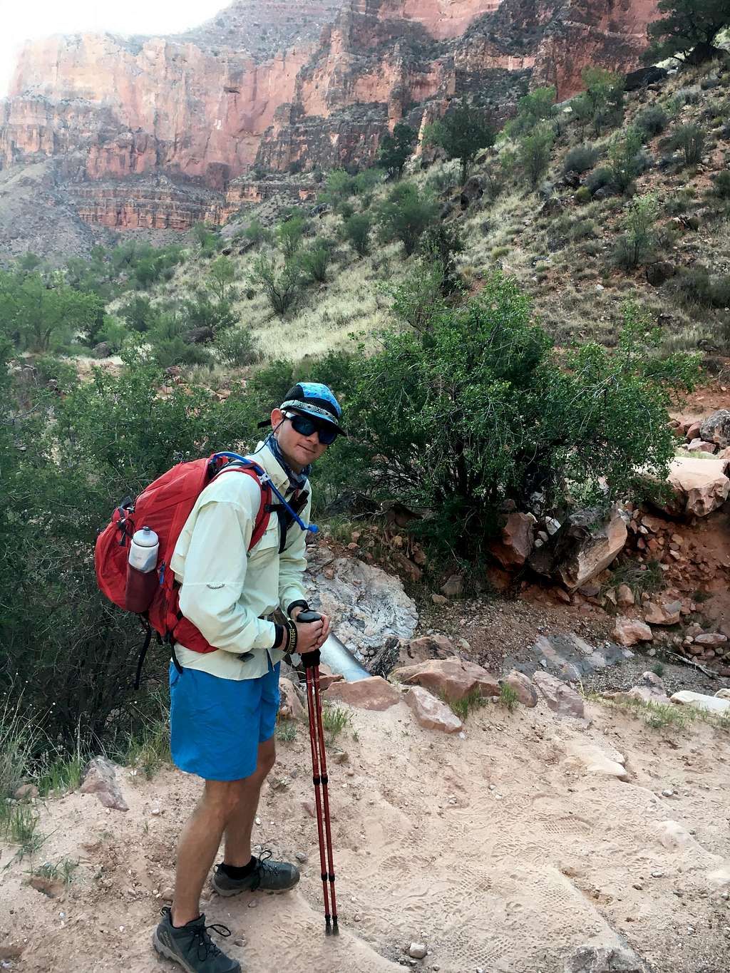

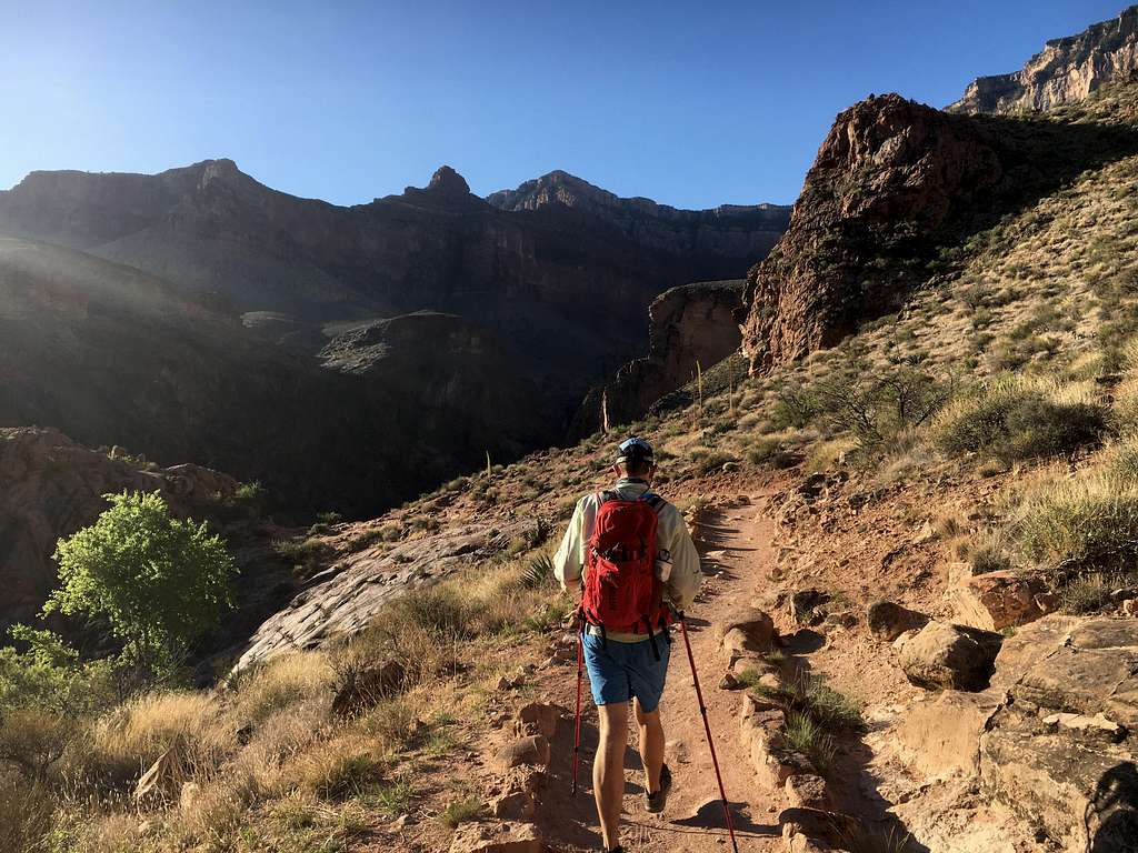
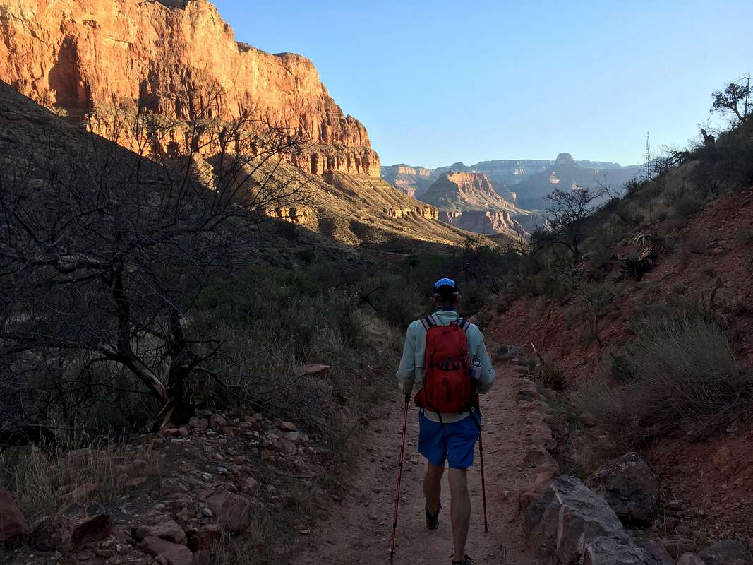
As we pulled in the first campground roughly five miles from the start most of the parties were just getting up. The population of the trail was increasing exponentially as the sun arrived above the mesa in the distance. Temperatures to now what seemed like a 50 degree difference had hit at roughly 8:20 which would mark our landing at the Colorado river. Walking down to the beach was a relaxing moment for me, however it was short lived as we attempted to determine where the famous Silver Bridge was. Its not right on the river as one would think, you have to hike along side of the Colorado for another ½ to a mile or so. “Where the hell is this damn thing??” After dipping into these smaller canyon things 15 times, the Bridge emerges over the corner. Standing there just before taking my first step onto silver, I couldn’t help think that we had already achieved the major milestone of the Grand Canyon. Every national park seems to have that centerline attraction. Climbing the cables up Half dome in Yosemite, Angels Landing in Zion, Delicate Arch in… well.. Arches. “Yo you coming dude?” I heard Chase say from across the bridge to me. Taking my first steps over the Colorado were done were a huge grin on my face. I have swam in the Colorado in Colorado and Utah, but never Arizona.. Very poor ideas filled the head as I remember how good it felt jumping in last September after climbing at the Fisher towers in Moab during 100 degree temps. Taking a 30-minute break under the main trail map would be breakfast, Section 1 was done.
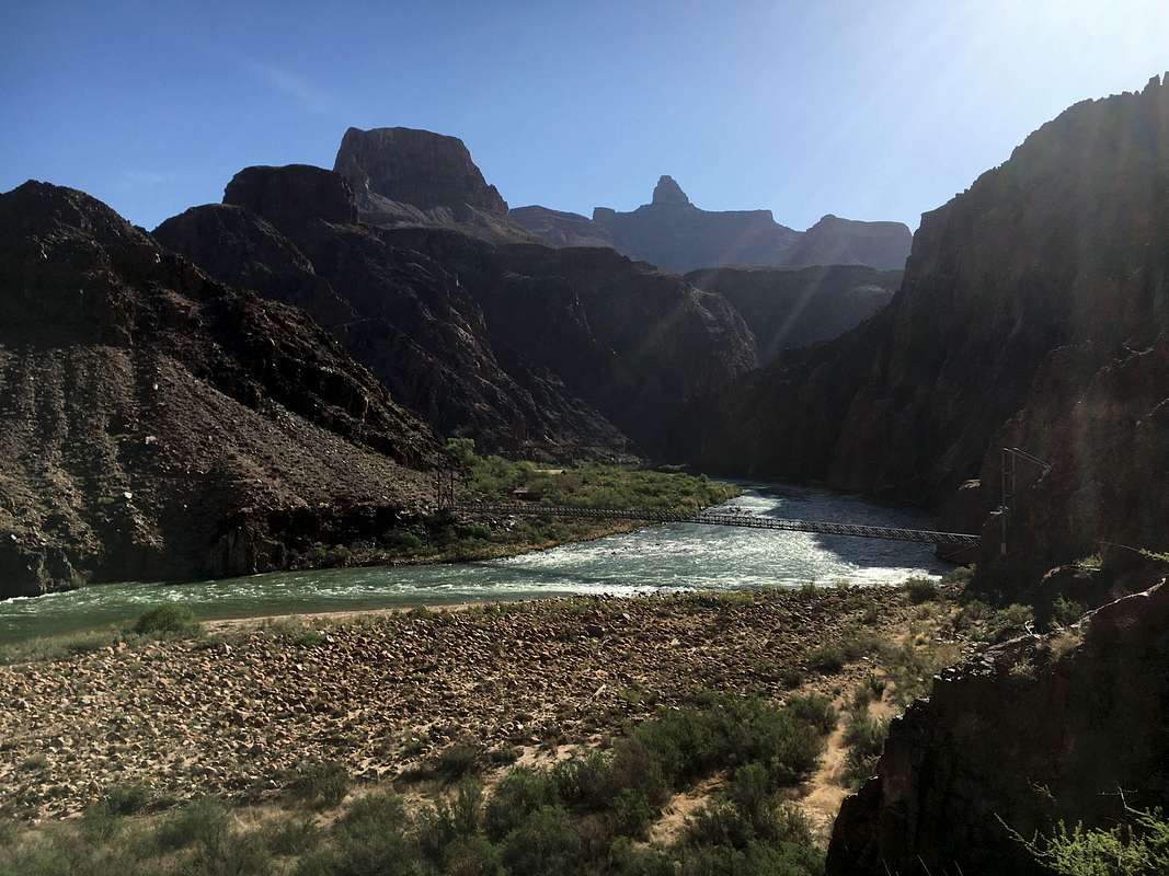

After wolfing down peanut butter bagels and watching the burros pass by, it was time to set back out. The time was 9:30 when we left the Colorado onto to Phantom ranch. This seems to be where the majority of people decide to turn back up to the south rim as its still a haul just to get back to trucks from here.. nine miles of roughly 5000 feet of elevation gain.. I think.. Regardless we set off north of Phantom and the crowds have vanished. At this point, the trail goes though a distinctive change from the sweeping vistas offered from the south rim and narrows into tight canyons of medium height. With this scenery saying consistent for the next five miles, our conversations had shortened and we tried to put some mileage behind us as this area was very flat and somewhat monotonous. Walking over the small footbridges in the tight canyon almost tricks you into forgetting that you’re in largest canyon system in the world. But after six miles, the Canyon dramatically opens up to a sandy desert and Section 2 is complete. The Time is 11:25 AM.

Mistake #2 NOT REALIZING THERE IS AN OPEN DESERT INSIDE THE CANYON! The soothing sounds of the stream that were present in the secure and shady canyon have now vanished into a bright and hot environment. The joke here is that leaving phantom ranch there was a sign that specifically said to avoid hiking this section between 10 AM and 4 PM, because of the exposure to the sun. The sign was funny up unto around 12:30 PM when we realized we were out of water. In the distance we could see runners heading in our direction, we broke conversation for a small bit, “You guys wouldn’t know where the next place to fill up on is do you??” “Unfortunately they shut off the water at the next two campgrounds. Cottonwood, which is about another 4 miles is completely dry..” Chase and I Immediately looked at each other.. “Whoops..” We started up again with our feet kicking threw the hot sand until we made it to Ribbon Falls. We decided here to not make the small side hike to the fall and rather brush whack to the stream that runs through this large valley. The dehydration was slowly kicking in as branches slapped our faces until we reached the heavily vegetated stream. We spent around thirty minutes here dipping our hats in the water and filling up the Nalgene’s. Lying down on the stream bank under some shade was a much-needed break, while we waited for the iodine tablets to finish setting. We were back on the trail before we knew it as the taste of metal unpleasantly filled my mouth. Only two more miles to Cottonwood.
We ran through cottonwood as it did not have water nor any reliable shade. The place seemed completely disserted and gave off a ghost town vibe as the rangers, burros, and campers were all gone. This area is still relatively exposed, but just a mile ahead the canyon walls start to close in on you and the shade that was so desperately needed finally arrives. The sounds of the river return as the rapids intensify as the grade steepens. You arrive in Rapid Springs after to what seemed to be the hardest section to me. Not because of the elevation gain, but just because of the length. Regardless we sit at the last campground from the north rim drinking as much water as we can, as it will be the last until top. The time is 2:35 and section 3 is done.
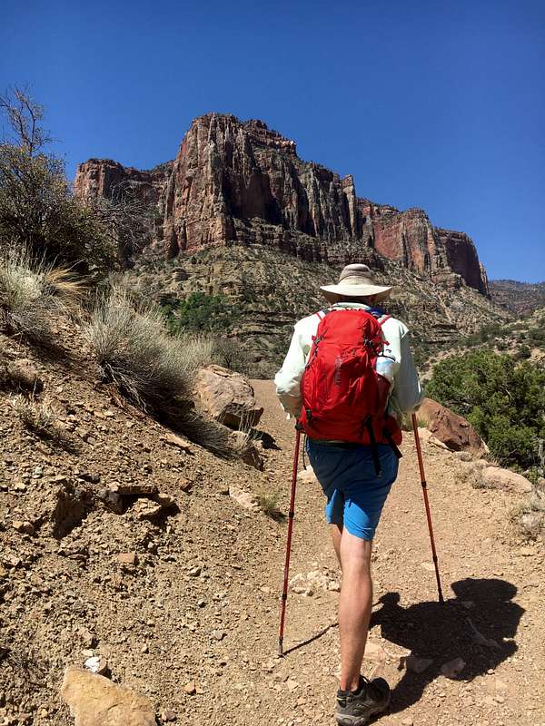
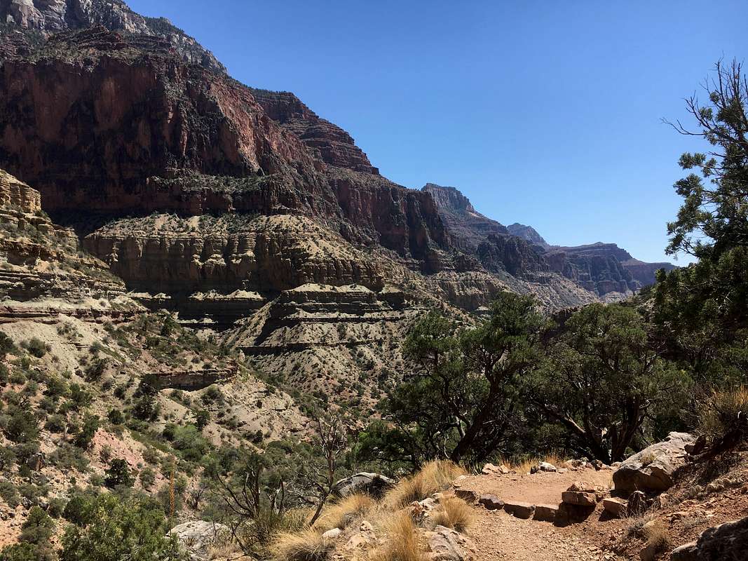
Section 4 is where the climbing really begins and starts off strong. At first we were unsure to which part of the canyon we would be heading as the trail opens up to a huge Y section. We were unaware at the time the bright angel trail continued up to the Northeast through ironically “Bright Angel Canyon,” while we were heading Northwest through Roaring springs canyon via the North Kaibab trail. It was 30 minutes into this section that we realized we were going to be hiking via headlamp for much longer than a few hours as previously planned. Regardless we continued up passing roaring springs and took in the increasingly open views. It was during this time that I noticed Chase slightly slowing and it had dawned on me that as we were gaining elevation, he was becoming more winded. You hit an elevation of 6000 feet when passing the springs, which is still lower than Durango, but is a noticeable 5000 feet higher than Phoenix (Where Chase is acclimated too.) To pump Chase up I started playing “Eye of the Tiger” on repeat, which didn’t seem to get old for at least another 4 miles. Over the next 1.5 miles you hit the 7000-foot mark just after crossing a large footbridge. It was about a quarter mile above this point that we ran into a runner. “Hey man, how far is the top? We got to be getting close.” “Your still looking at about a mile and a half, not to mention it’s really not that cool of a top out” He replied. “Not that cool of a top out, It’s the north rim of the Grand Freakin Canyon how could it not be cool?” I thought to myself. We pulled out the map and discovered that the trail dumps you onto the side of the highway rather than bringing you to the wonderful vistas offered by the lodge. It was this moment that we decided to turn back to south, just a mile and a half from the north rim.


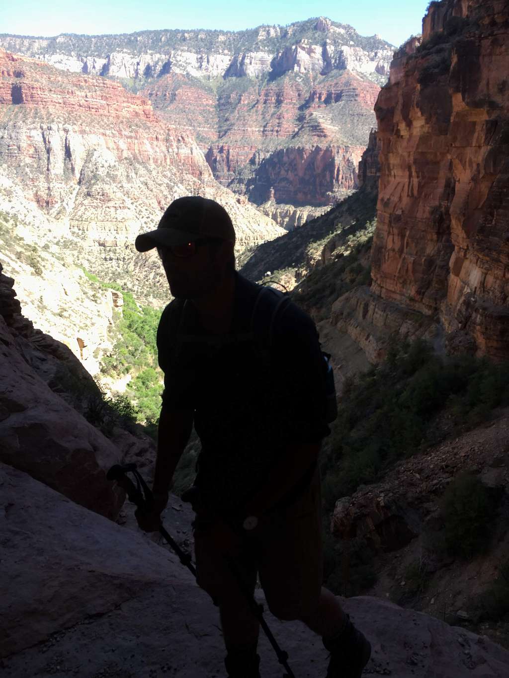
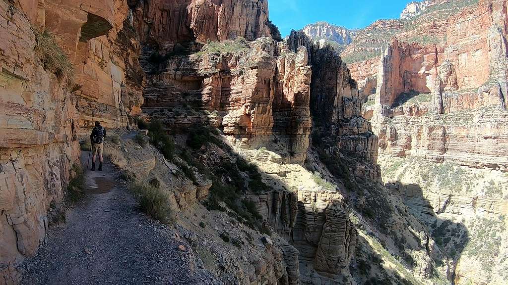
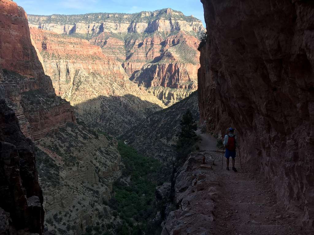
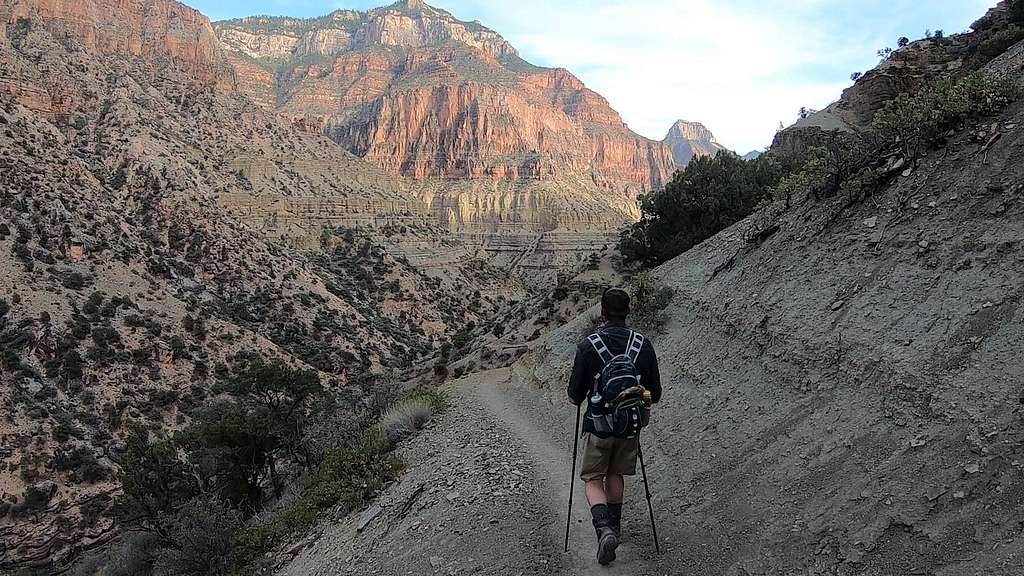
Honestly if we both knew what we know now, we probably would of turned back at Manzanita rest house 5 miles earlier, however I’m glad we didn’t. I remember the time being just before 5 when we decided to turn back. Sitting on the large footbridge we had crossed just 45 minutes prior, we kept assuring ourselves that the journey from the North Rim back to the trucks would be far easier as the majority of the mileage will be gently downhill until the Colorado River. “I bet it only takes 8 hours to get back!” Both of us kept boasting back and forth. Both Chase and I knew that this was a lie, but it was somewhat comforting that we still were enthusiastic about our progress. However this enthusiasm would be shot dead as darkness had fallen over the canyon and we still were only just past cottonwood. The heavily anticipated moment where the headlamps came out of the packs was finally upon us. The nightmare begins..
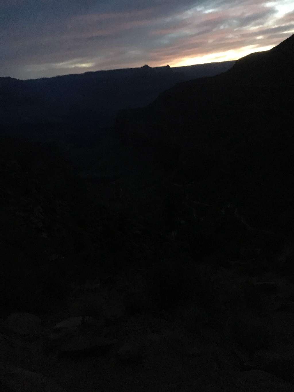
Knowing that my headlamp batteries wouldn’t make it the whole trek back, I turned mine off and was able to use the natural light from the moon, which was full during our trip. It was about 3 miles past ribbon falls that we saw other headlamps in the distance. “Thank god, theres other crazy people out here..” Short conversation between the two parties discussing our plans revealed that they were headed to Cottonwood to camp for the night.. Lucky them. 30 more minutes from meeting them would put us back in the bottleneck area that follows the bright angel creek. This was the narrowness of the canyon forced me to turn on my headlamp and stay focused as I was falling asleep while hiking! You know when your driving really tired and start head bobbing, well that was happening to me while walking. I would wake up from these 1.5 second naps and find myself about to walk of the edge of the trail into the creek.. This terrible cycle would unfortunately would continue until we made it back to phantom ranch, about .6 miles from the Silver bridge. We decided to sit for a second on the picnic benches outside the ranger huts. The rangers and campers were all asleep for the night, which is a good thing because I don’t think I could of taken the embarrassment of having to explain our current situation. I end up passing out with my head on the table only to be woken up by Chase five minutes later. “Just 15 more minutes man,” “Ten…” he replied. My phone goes off too soon and were back at it. “Damn, this is hardcore.” Another 30 minutes and were at the base of the Silver Bridge, which in the middle of the night was unbelievably eerie and even kind of scary. The time is 1:30 AM and we have one more section until the finish line.
This would prove to be the hardest section overall as we had 9 miles and 4,800 feet of elevation gain ahead of us. The mile and a half after the bridge is a sandy footpath that takes you to the River Rest house and seemed a lot longer the second time. Hiking in sand like that is awful because you lose a lot of energy pushing the sand behind you. Thankfully this area is flat and with the sounds of the Colorado, it wasn’t all that bad. The River house sits at 2,500 feet so its straight up from here, which really slowed us. The next three miles were relatively uneventful with us suffering and just trying to put mileage behind us. Those three miles put us at Indian Garden, which we arrived around 3ish in the morning. We filled up on water on took a small break on you guessed it.. a bench outside the ranch station. Both of us accidentally fell asleep again, however we both fell asleep sitting up this time. We snoozed for roughly 30 minutes, to which I couldn’t imagine if someone walked past us during this and what they would be thinking. This power nap ending up being an awesome accident though, as we set back out feeling somewhat refreshed. Chase gave me this energy gel, which I woofed down as it had been over ten hours since I ate.
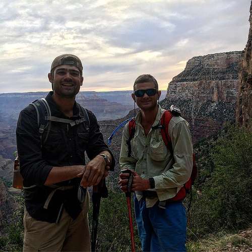
The next 4.5 miles to the top would by far be our slowest however I thought it was kind of fun. As the trail steepened the air slowly illuminated as the sunrise started. I wish I had taken more pictures during this time, however just making sure we weren’t going to die was more important. The trail was starting to populate again with hikers making their early morning runs to the Colorado River. It seemed at the time that we made conversation with every single party that passed us. “Man are you guys already back from the River??” We would then begin to explain how we’ve been on the trail for more than 24 hours. People would congratulate us and offer us food to which we always politely refused. We still hadn’t even finished yet! But we crossed the last archway at 6:48 AM, exactly 26 hours and 18 minutes after we walked under it the first time. We made our way back to trucks and it was finally over.. We talked about eating at the some mystery buffet hikers were saying they just returned from, however we for some reason made our way to McDonald’s. After limping in, we both woofed down over 50 bucks worth of biscuits and McGriddles. #NoRegrets Afterwards we made it back to our initial campsite and took a five hour nap in the baking sun. After we set off, we dicussed future plans of backpacking in the San Juans.
There are some important tips that I would suggest if you are planning on doing this same hike. The first and most important one is to bring an ample amount of food. We only brought a pack of begals, a jar of peanut butter and some trail mix. Make sure to bring enough for a full three meals worth. We clearly didn’t bring enough and were at a serious calorie deficit because of it. Next make sure to bring baby powder! I didn’t bring any and because of it, I was waddling the last ten miles because of absolutely horrible rashes in places you don’t want to know about. After we reached the Colorado for the first time, I taped all my toes up, so they didn’t blister and this was a solid move. Lastly check the status on water at the campgrounds. We forgot to do this and had to hike from Phantom to Manzanita without resupplying our water other than the time we drank out of the river. Hopefully these tips will save some lives. Hope you enjoyed it!

