Toggle navigation
Mountains
Routes
Images
Trip Reports
Forum
What's New
People
Areas & Ranges
Articles
Trailheads
Canyons
Huts & Campgrounds
Albums
Logistical Centers
Fact Sheets
Lists
Custom Objects
Gear
Plans & Partners
WELCOME TO SUMMITPOST
SIGN IN
REGISTER
Little Blue Peak
Additional Parents
Image
Little Blue Ridge seen from...
View High-Resolution Image
Little Blue Ridge seen from...
Little Blue Ridge seen from near the start of the hike. The
Milktoast Highway
goes up Little Davis Creek found at the bottom of this canyon on the south side of the ridge. Feb 3, 2006
« PREV
NEXT »
Bob Burd
on
Feb 7, 2006 1:37 am
Comments & voting
Other parents
Lat/Lon:
38.90700°N / 122.4152°W
Image ID:
149616
3998 Hits
76.66
% Score
7
Votes
Log in to vote
Comments
Post a Comment
Viewing: 1-1 of 1
Dean
-
Feb 7, 2006 8:16 am - Voted 10/10
New signature pic
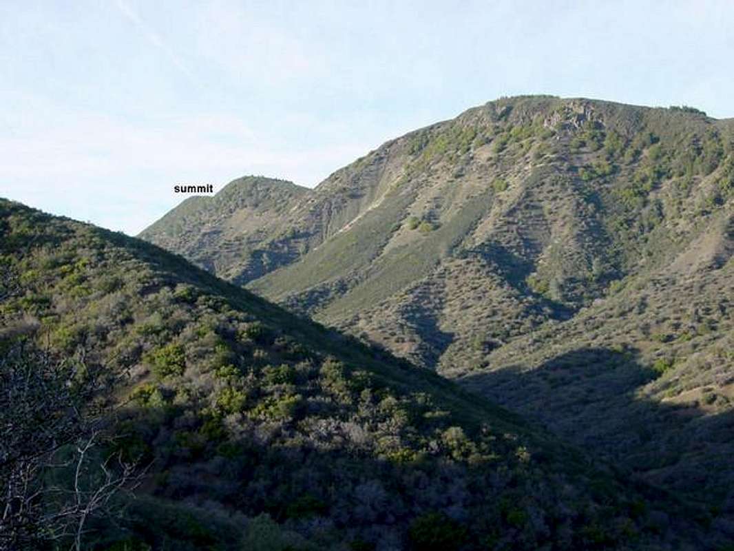
Thanks Bob for posting this one, it is the new signature pic for the Little Blue Peak page.
Viewing: 1-1 of 1
to post!
Don't have an account?
Little Blue Peak
(Mountain/Rock)
« PREV
Viewing
#3 of 22
GALLERY
NEXT »
Bob Burd's Image Gallery
« PREV
Viewing
#193 of 606
GALLERY
NEXT »
×
You need to login in order to vote!
User Name
Password
Remember me
Forgot your password?
Log me out when I close my browser.
Keep me logged in all the time.
sign in as a user
Don't have an account?
Register now for FREE
Rating available
Suggested routes for you
People who climb the same things as you
Comments Available
Create Albums
Register Here
Comments
Post a Comment