
Comments
No comments posted yet.
|
|
Trip Report |
|---|---|
|
|
35.15568°N / 110.47372°W |
|
|
Download GPX » View Route on Map |
|
|
Sep 8, 2021 |
|
|
Hiking |
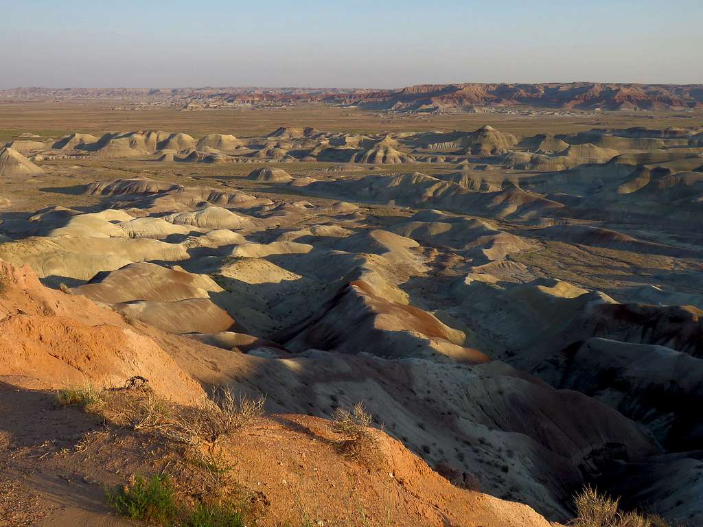
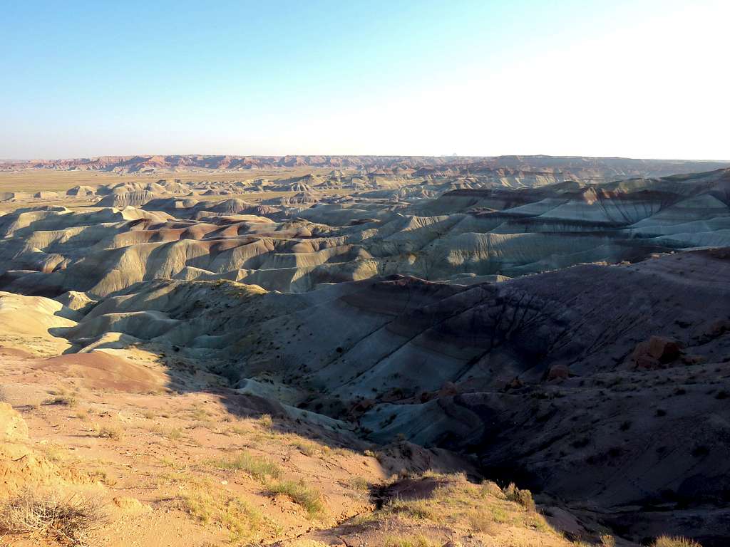
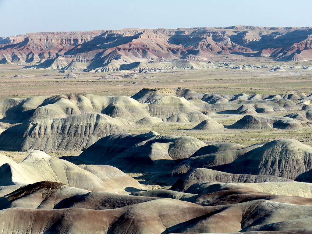
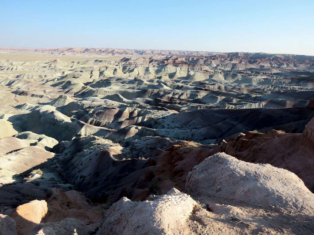
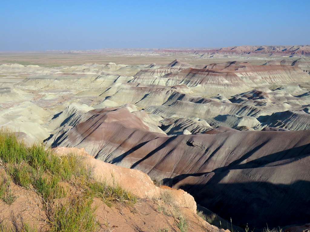
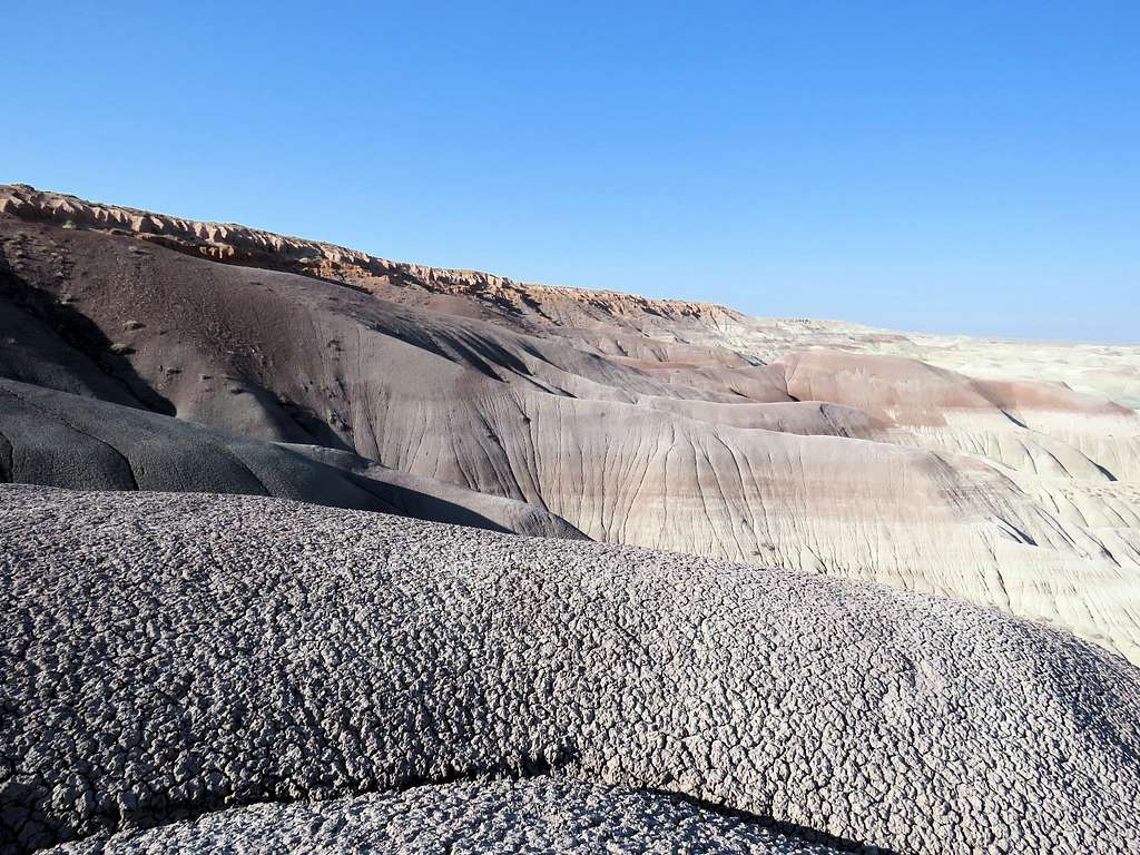
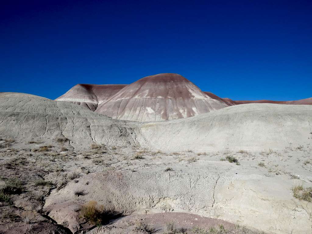
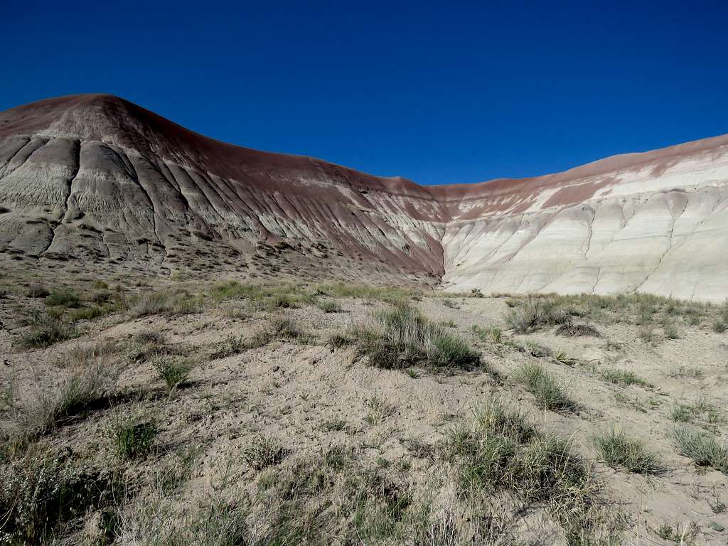
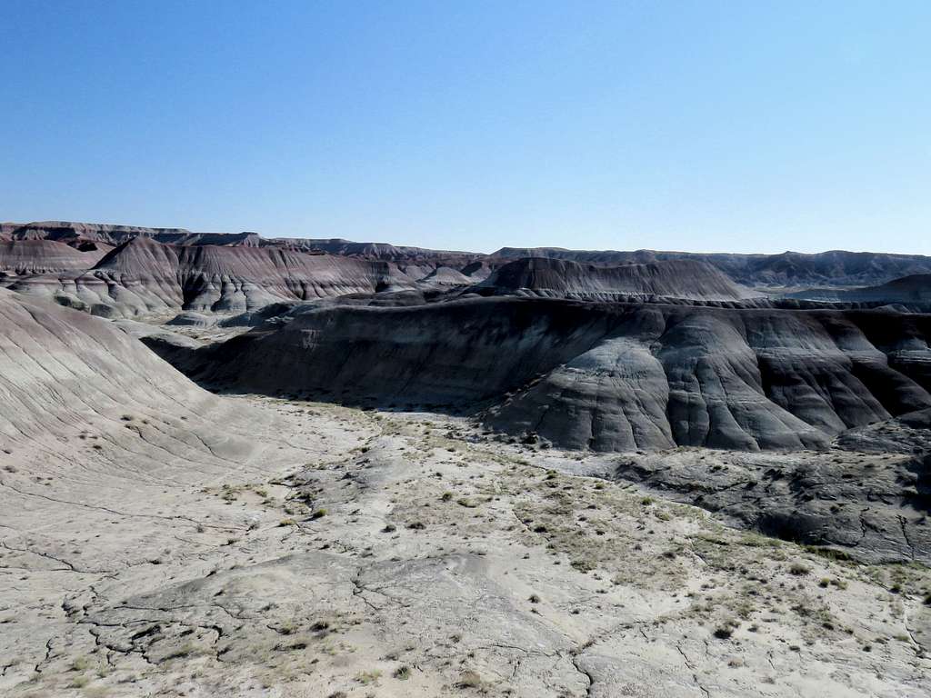
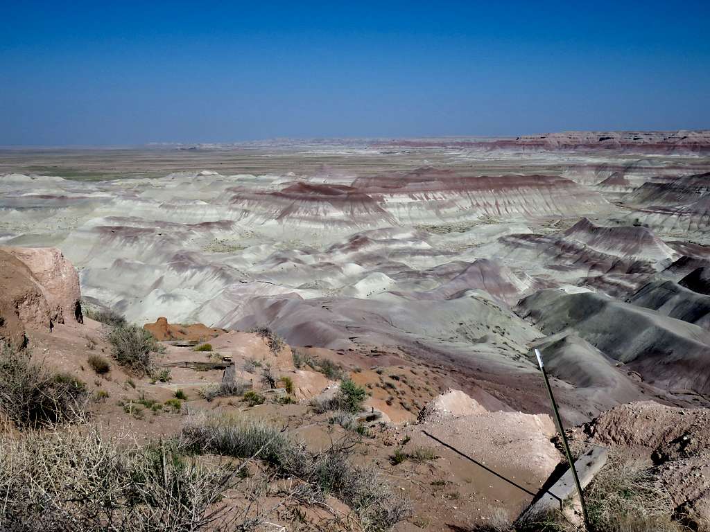
Little Painted Desert is an abandoned county park 15 miles to the northeast of Winslow, Arizona. The former park preserved a plateau edge where steep colorful eroded badlands dropped 300 vertical feet down to a lower level. I was looking for a way to go down to the lower level but had not been able to find any information about how that could be done. On the day of my visit, I found the spur road to the park unmarked and full of potholes. Picnic facilities and locked up bathroom walls were graffiti covered with garbage everywhere. None of that, however, decreased the natural beauty of the area.
On Google Earth, I had found places where the slopes seemed to be gentle enough to potentially allow a hike to the lower level. In reality, the path that I had chosen turned out to be way too steep for my comfort. By luck, in another place, I came across an abandoned and badly eroded trail that gaive me the opportunity to follow it down to the bottom.
Hike Length: 4.0 miles
Maximum Elevation: 5490 ft
Minimum Elevation: 5240 ft
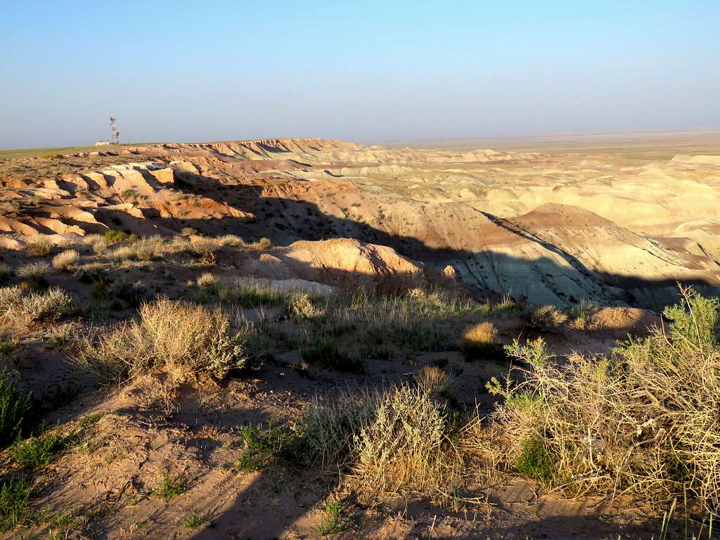
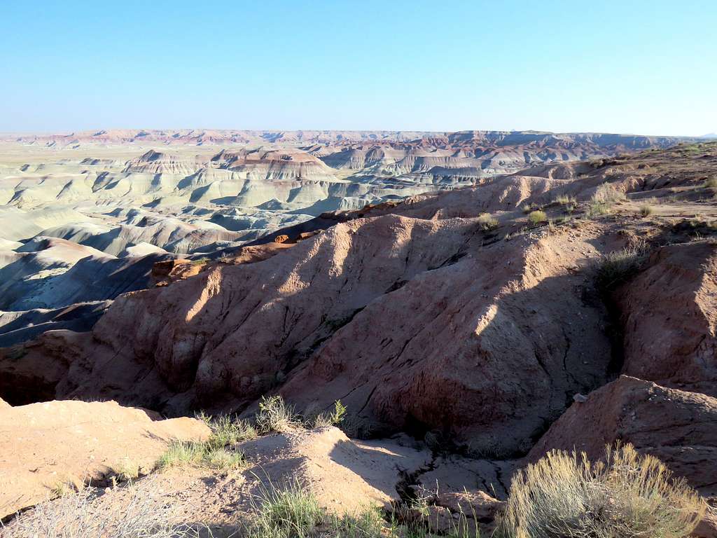
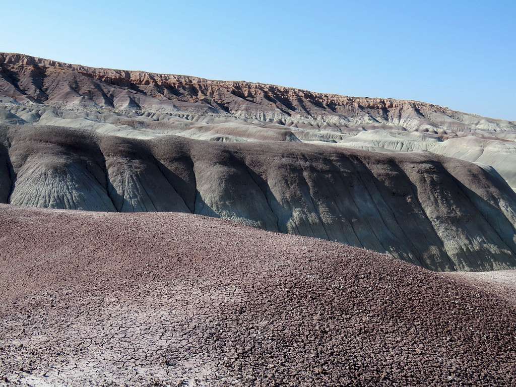
Kris and I left Flagstaff, Arizona at 5:30 AM, got on I-40 and drove 60 miles east. As we were driving, the sun rose over the open plains to the east. At Exit 257, turned north onto Route 87 and went 14 miles until we got onto an unsigned pothole ridden spur road to the west that took us a short distance to the edge of the plateau. The walls of the locked up bathroom and the picnic facilities were graffiti covered and in a state of decay. Garbage had been thrown everywhere. The views, however, were breath taking.
Kris said that I was crazy to think that I could walk down those slopes and he did not want to have to call the rescue squad on me. I had to remind him that the plan was to go south to where Google Earth had shown easier slopes.
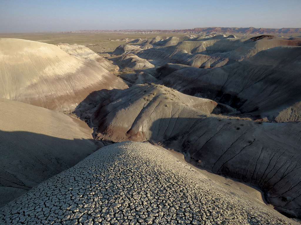
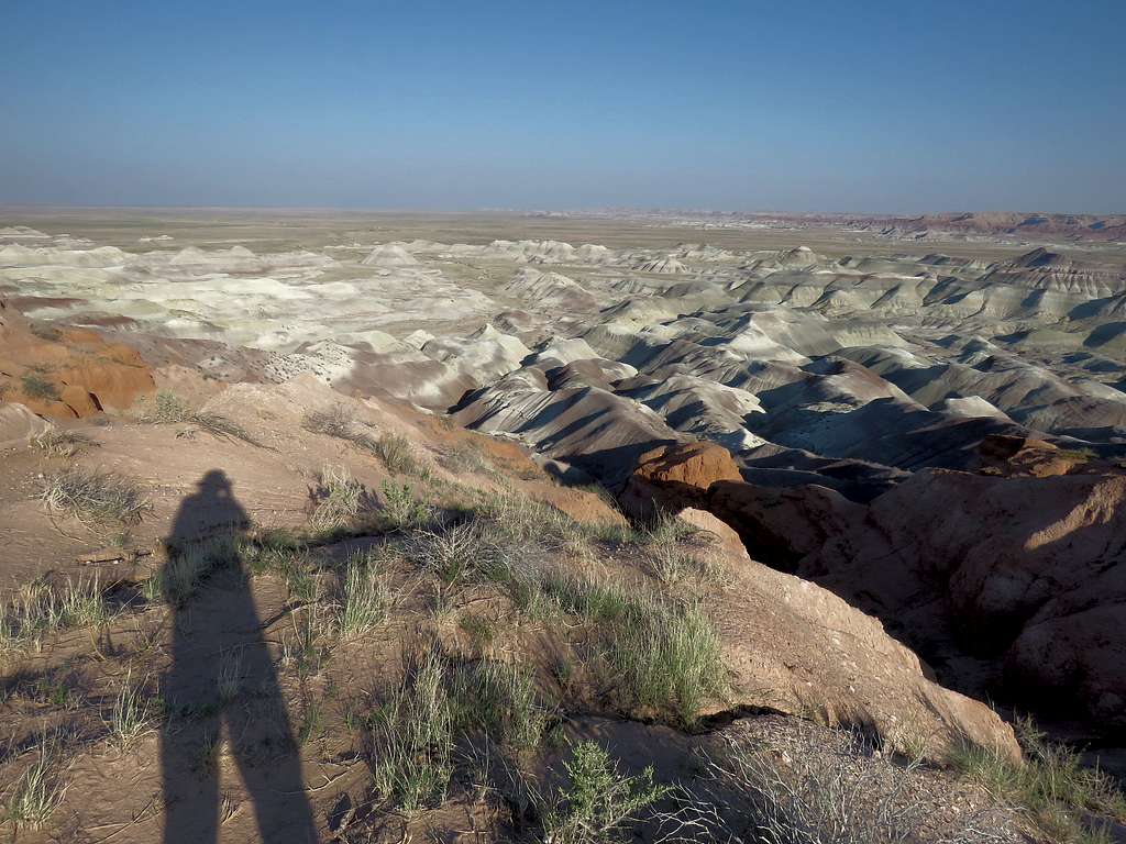
Started the hike at 6:55 AM. A pleasant breeze was blowing. Hiked southwest near the edge of the plateau following the path that I had entered into my GPS until after half a mile we reached where I had planned to go down the slopes. A walkable descending ridge-top was in front of me but the very end of it appeared steep.
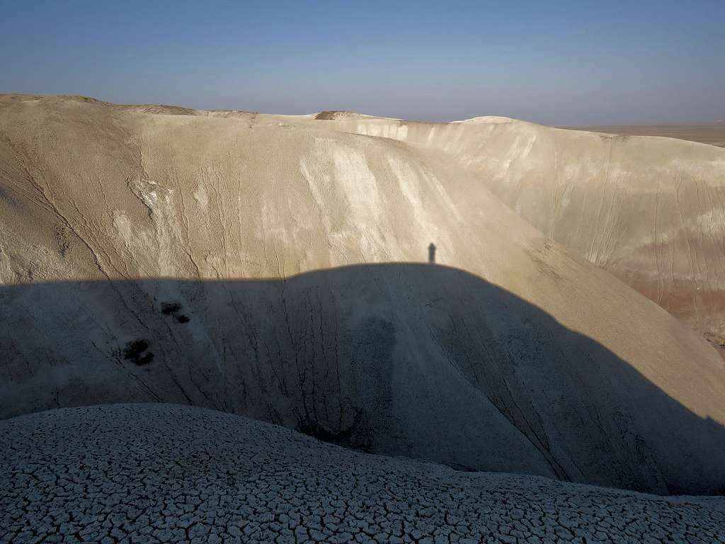
Kris again said that if I did not come back up, he did not know who he was supposed to call and did not know if we even had cell phone connection there. I told him that I was determined to check it out. Gave him the walkie talkie and began to walk down the ridge-top. Looking north from the ridge-top.
In 0.1 miles, I was down a good 160 vertical feet until I reached a place where it became very steep. I could go down but coming back up was questionable.
Radioed Kris and told him that I was at an impasse and was coming back up. Went back to Kris who seemed to be relieved but I was bummed out. Told him lets hike back north along the rim. My plan was to go to the other spot far north where Google Earth had shown possible gentle slopes but did not say that to Kris.
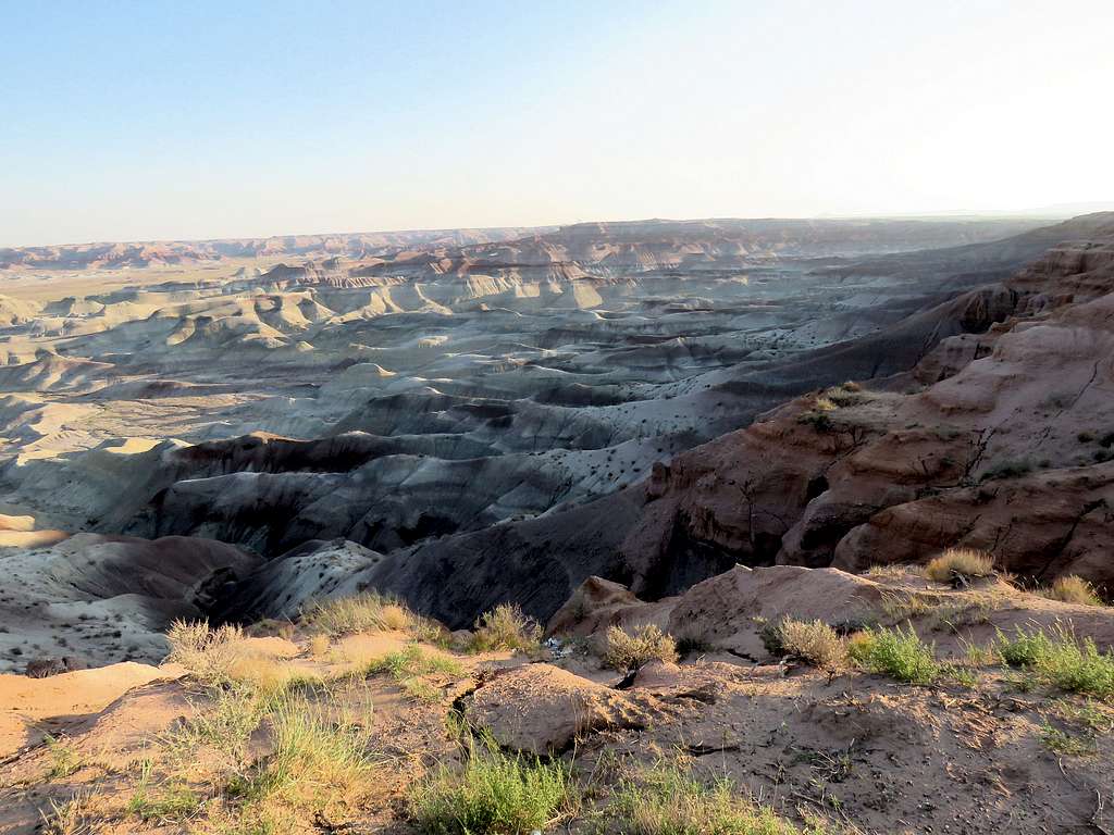
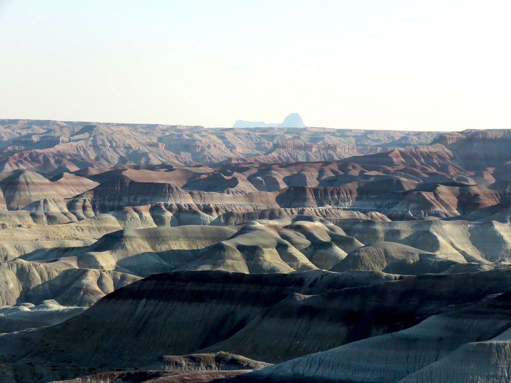
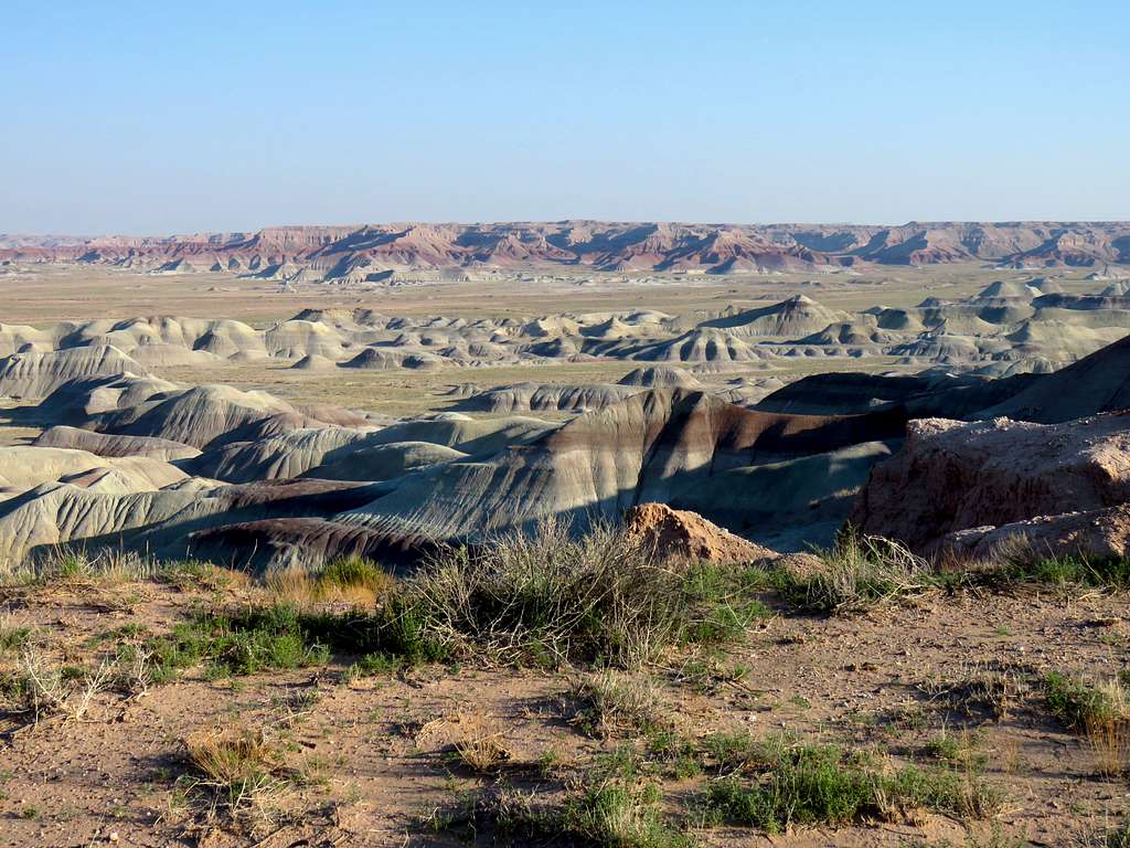
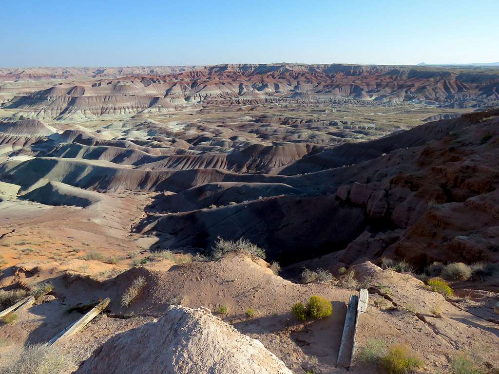
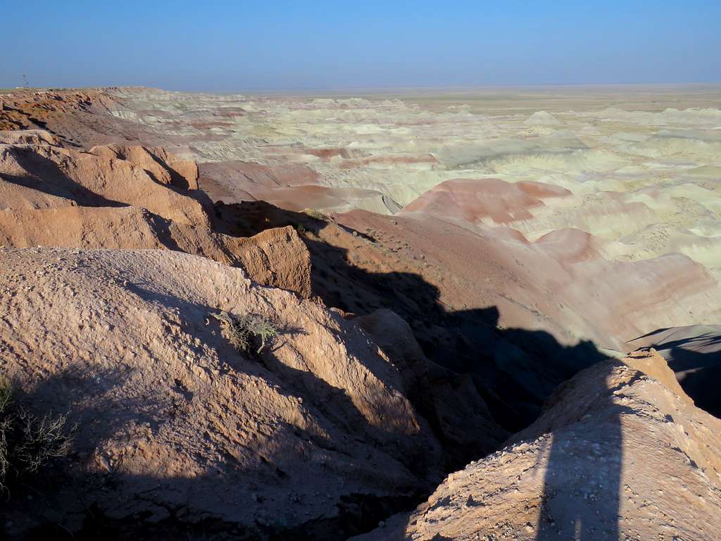
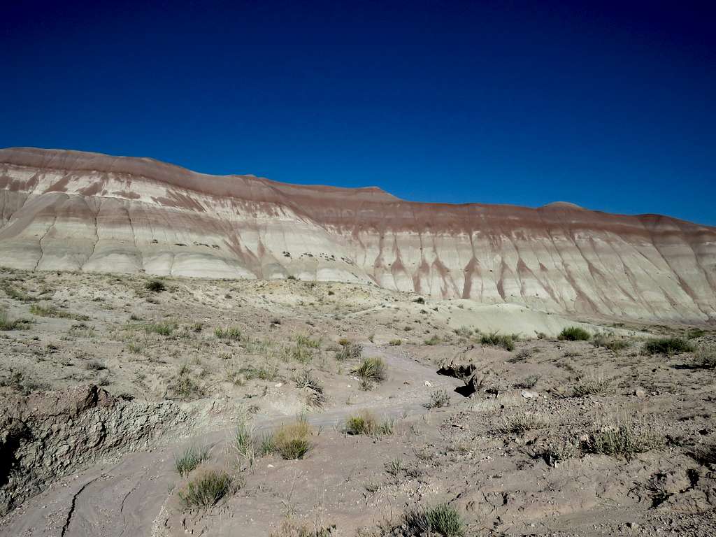
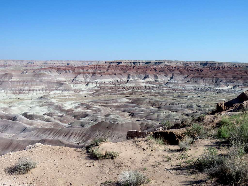
More wonderful views.
Reached the car and continued further north. I went to the very edge often to take pictures.
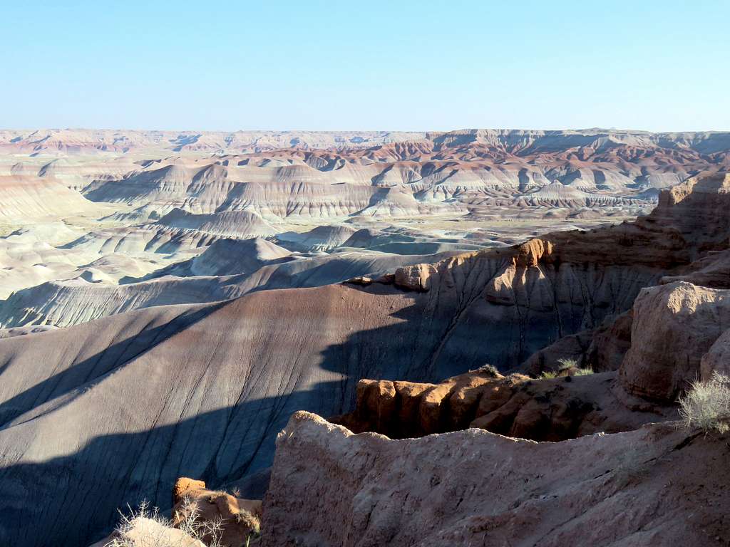
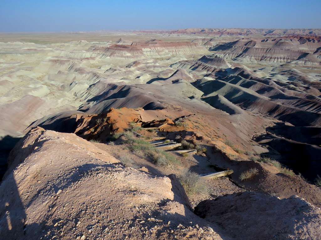
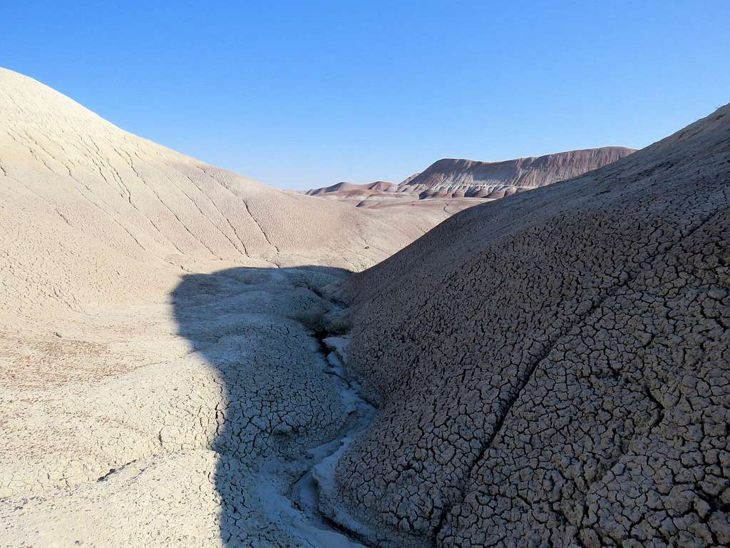
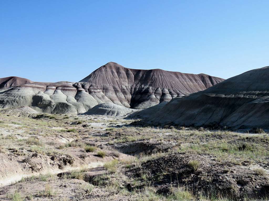
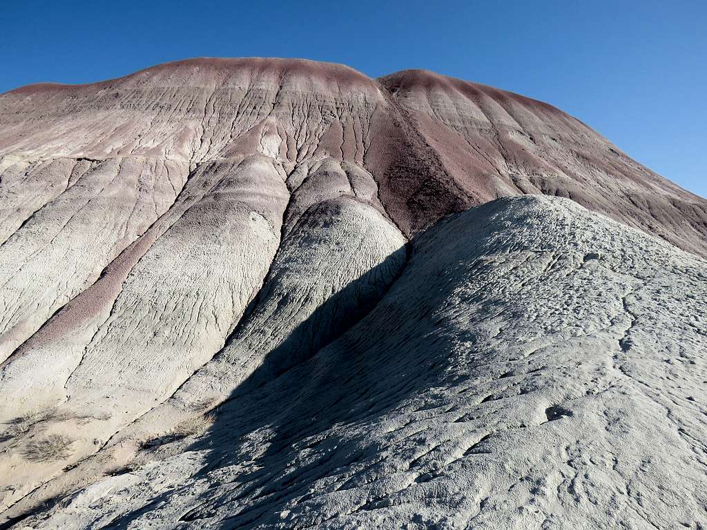
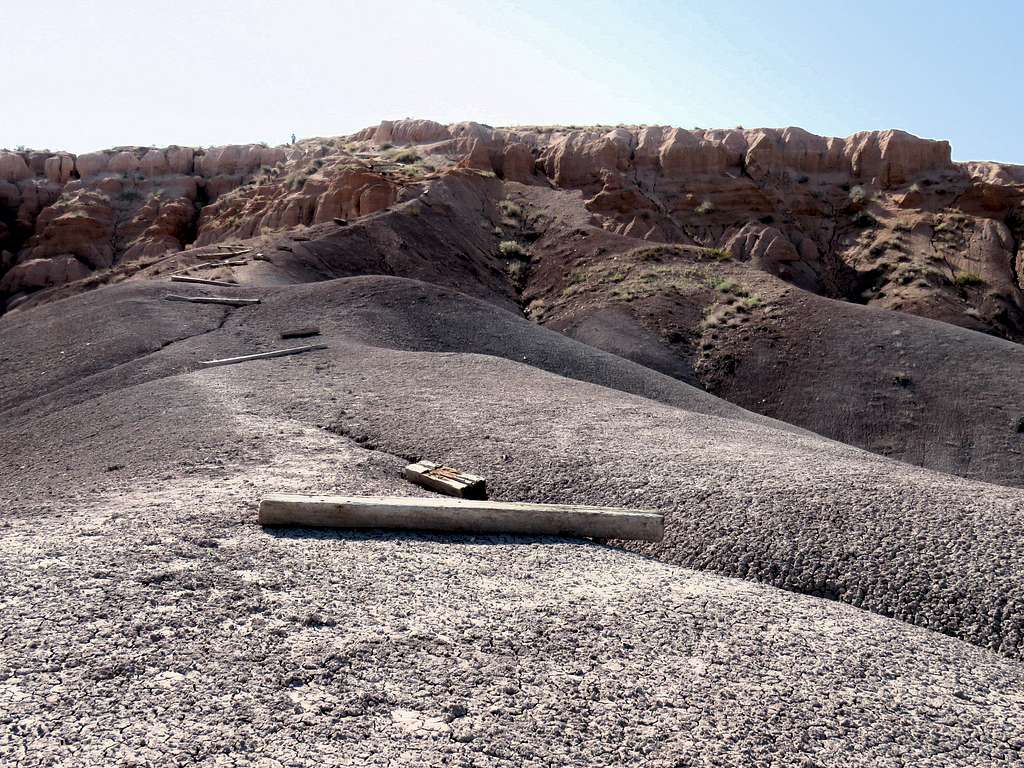
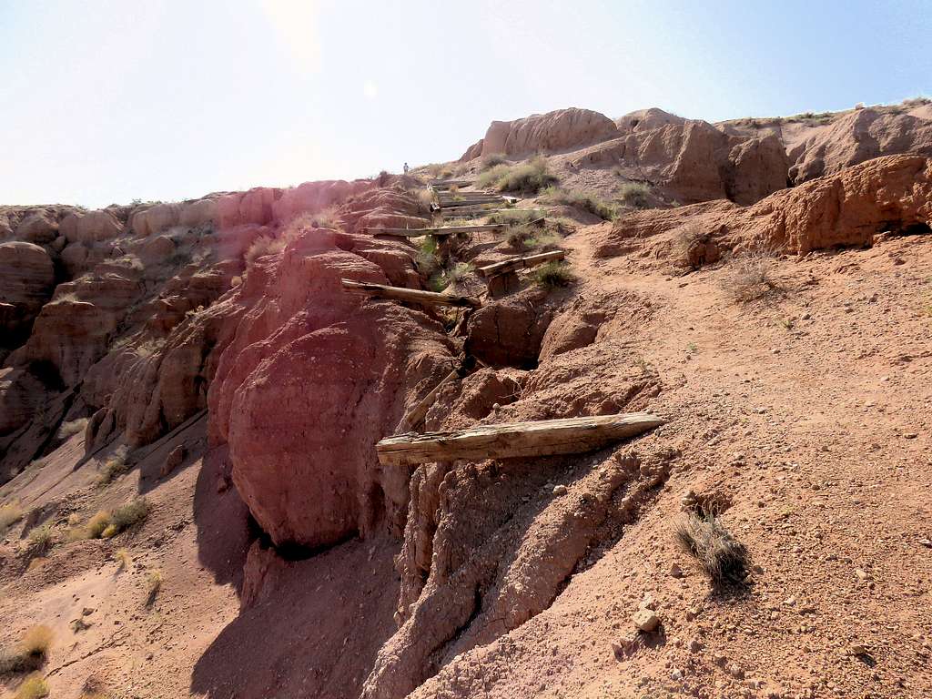
In one place, where I went to the edge, I found what looked like an abandoned trail. Could see an eroded slope with a bunch of displaced logs used to mark and stabilize the trail. I was happy and Kris again unhappy. He stood there while I went down the path.
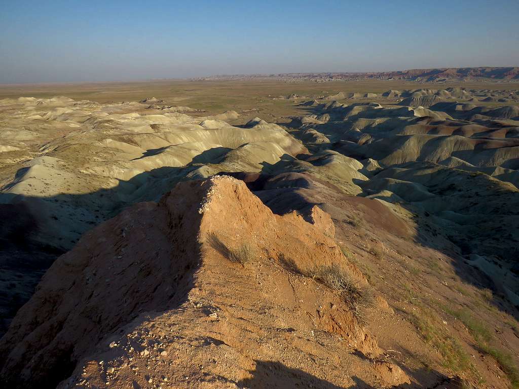
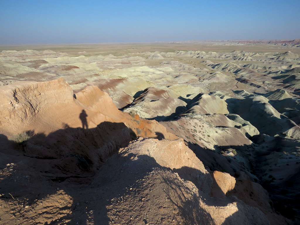
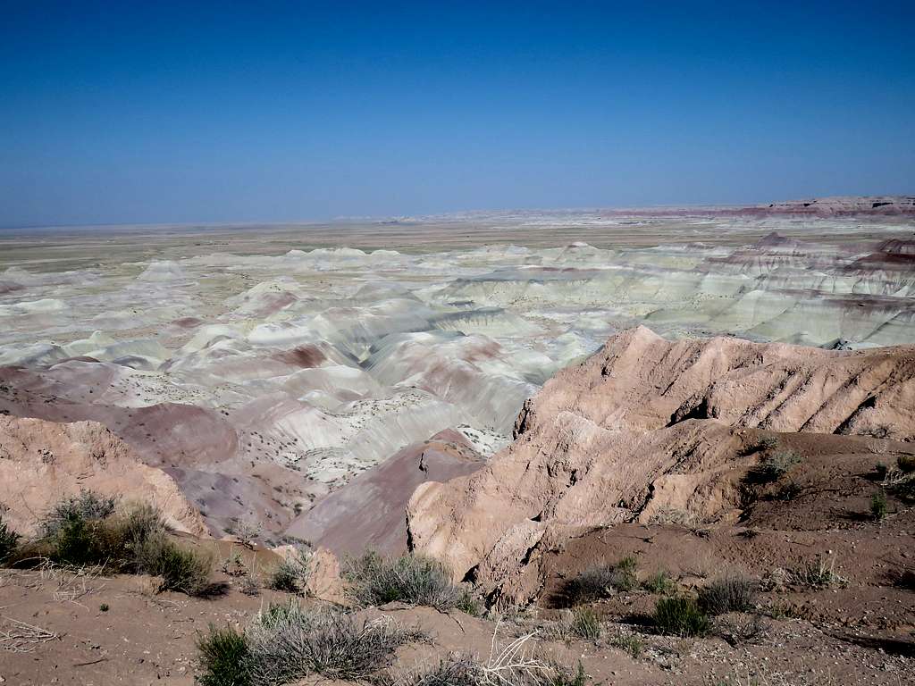
Went down a steep eroded place next to the logs, nothing too bad. Views from the upper trail.
Looking back up at the rim.
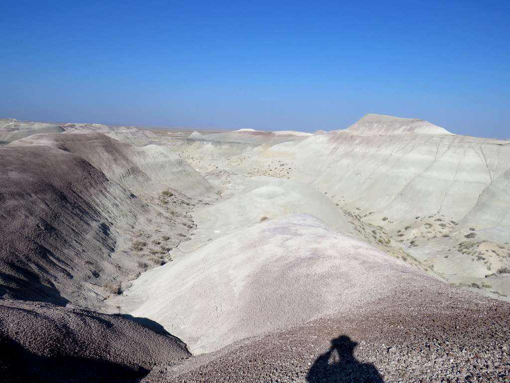
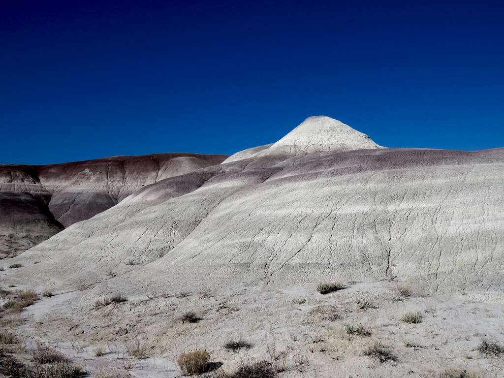
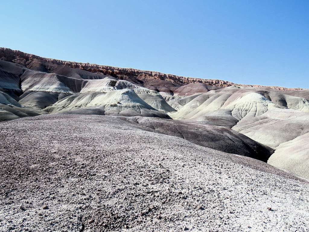
In no time, I was a good 250 vertical feet down into a mini canyon.
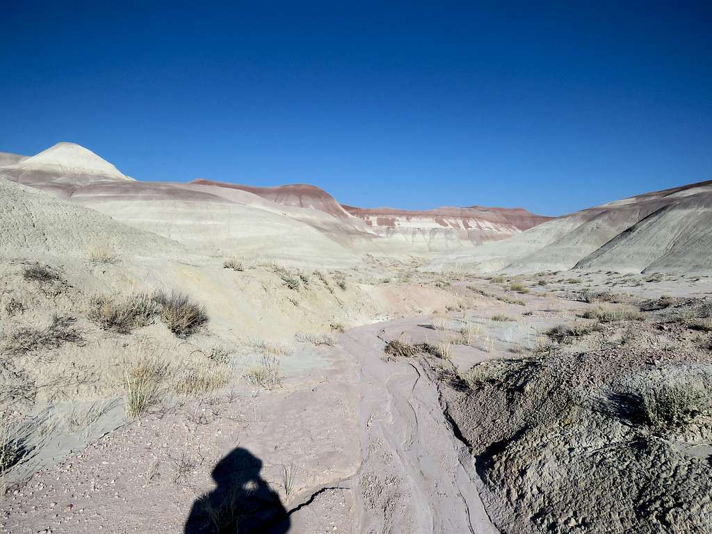
Which soon opened up into a meandering dry wash.
Was very happy that I had finally made it down there. I knew that I should be very careful to memorize where I came down from but having a GPS had made me complacent. The whole place was open for me to explore but I did not want to keep Kris waiting too long. I did radio him every 30 minutes.
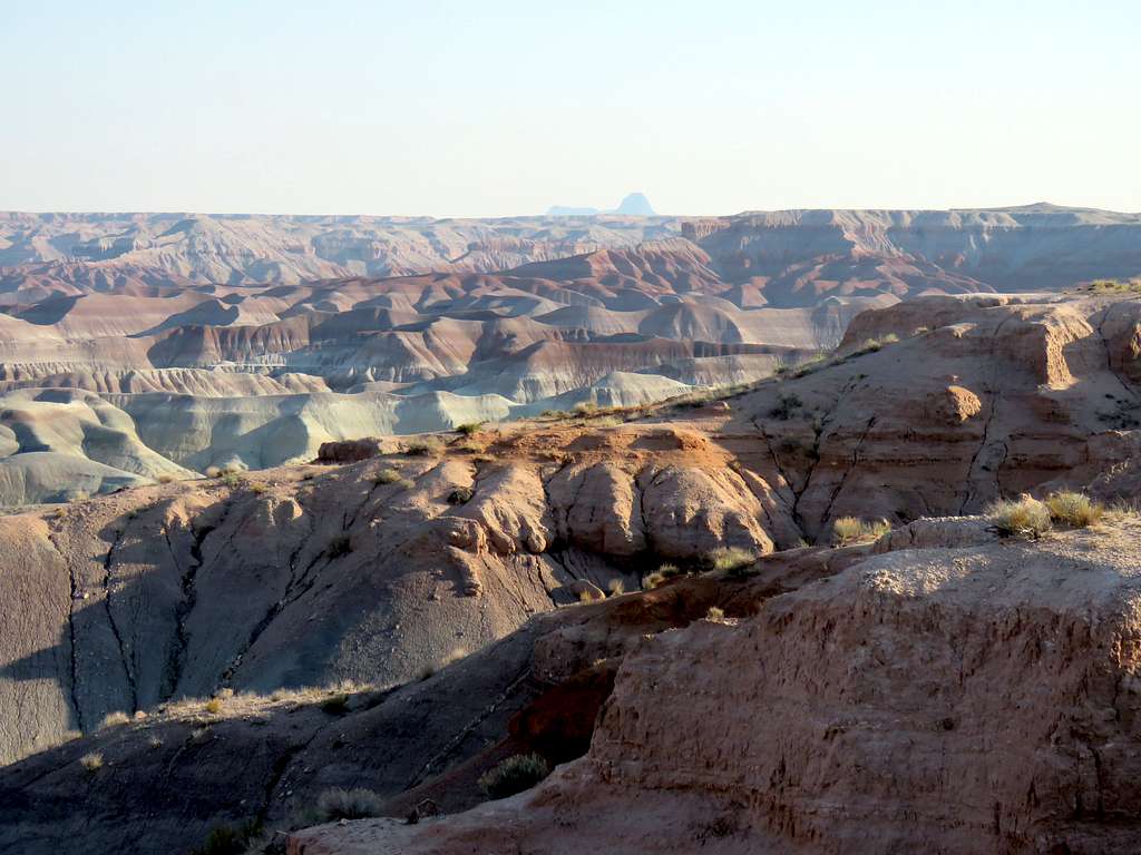
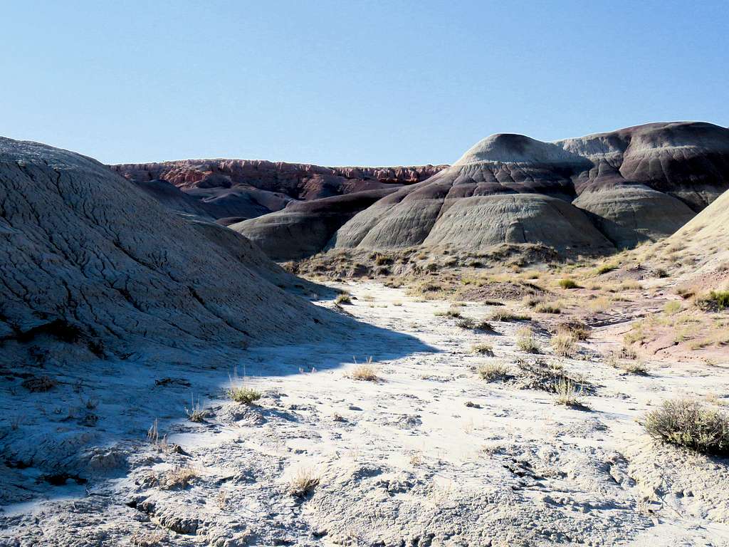
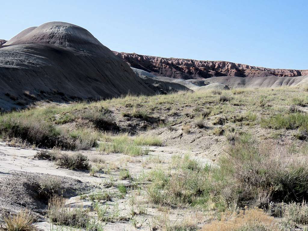
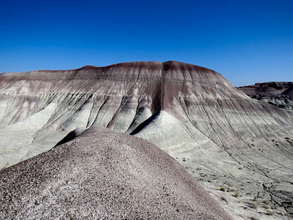
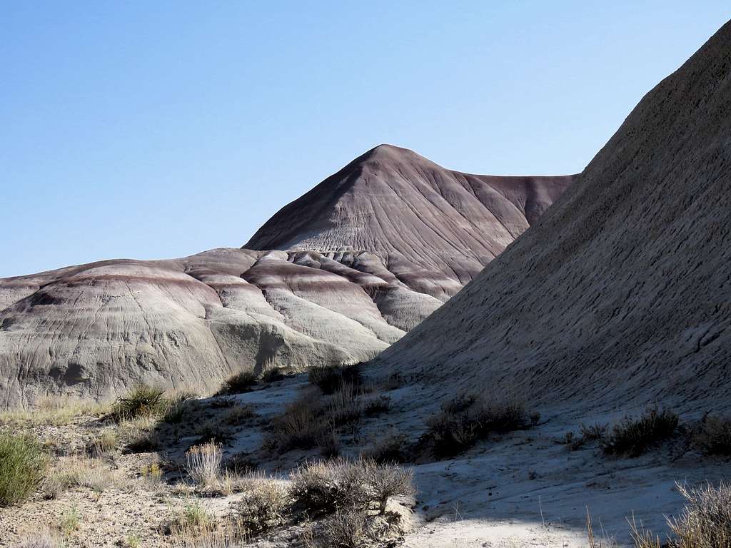
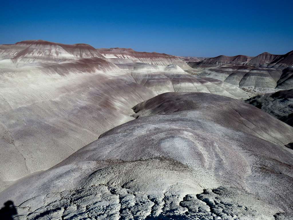
Could go anywhere but decided to go to a saddle I had seen on Google Earth at the base of a red top peak so got into a dry wash that took me that way.
Was soon up the saddle at the base of the peak.
There actually seemed to be a beaten path going to the top of the peak but it appeared steep. A slip would have meant tumbling down several tens of feet causing serious injury. For my own sake and also because I did not want Kris’ worst predictions to come true, I decided to hike up to the top of a shorter but easier high point on the other side of the saddle. Views from the top.
Sat there, had my lunch and enjoyed the views, then began to walk back the way I had come.
Back on the ridge-top.
Kris coming to view.
Was then back up to the top of the plateau. Great views.
Reached the car at 9:16 AM.