
|
|
Mountain/Rock |
|---|---|
|
|
39.77150°N / 119.922°W |
|
|
Washoe |
|
|
Hiking, Scrambling |
|
|
Spring, Fall, Winter |
|
|
6608 ft / 2014 m |
|
|
Overview
Across a valley from the Petersen Mountain Range is a ridge of summits five miles north-south and two to three miles wide. This ridge features two prominent summits, Peak 2014 (6,608 feet) with a prominence of 588’ and Peak 1998 (6,555’) with a prominence of 371’. This contrasts with the Petersen Range which is 15 miles long and has a prominence of 2,501’.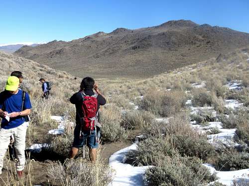
View towards Peak 2014 from the slope of Peak 1998
These summits are in the same general area, and are close enough together they warrant a shared page. The higher summit, Peak 2014, is far more scenic, with excellent rock scrambling opportunities. The lower summit is more of a desert-like hill, but also with some rock scrambling opportunities.
Views from the summit are quite nice, with surrounding summits in view. Ultimately, it is the rock scrambling and accessibility of this area that makes it attractive.
Less than 30 minutes from downtown Reno, these summits offer a nice day hike in the winter, early spring, or late fall.
The area can get muddy after a good snowfall or rain storm so make sure to go in dry conditions.
The coordinates for Peak 2014 are 39.771482, -119.921635
The coordinates for Peak 1998 are 39.750942, -119.945026
They are approximately 1.9 miles apart.
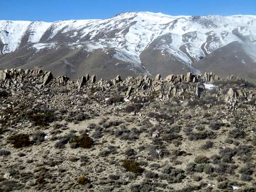
High ridge of the Petersen Range from Peak 2014
Getting There
There are two primary access points to the Little Petersen Range; Goldstone Road and Argosy Road, both accessed off of Red Rock Road. To reach either road, take US 395 to exit 78 (if coming from Reno) and drive north on Red Rock Road. Goldstone Road is about 9 ½ miles north of the highway and Argosy Road is another 1 ½ miles. Once at the end of either road, you have access to Peak 2014 and Peak 1998.
Petersen Range from the Little Petersen Range
Route
From Argosy Road, Peak 2014 is a mile hike gaining 700’. A trail goes up just below the summit from the east side. You can also access it from the west side via a dirt road. The summit itself is rocky, and requires some light scrambling to reach the summit.
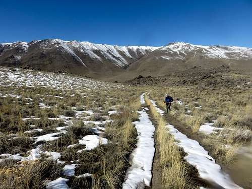
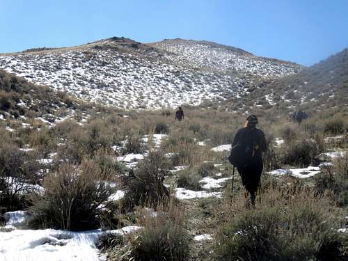
Heading up Argosy Road to Peak 2014
You can also start from Goldstone Road, which is ideal if hiking both summits. From Goldstone Road, you take a road north to get to Argosy Road and up to Peak 2014. It is a mile extra to get to Peak 2014 this way, but makes it easier on the return from Peak 1998. To reach Peak 1998, you go a quarter mile up the road at the parking area, and take a left, and then a right on the main road between the two summits.
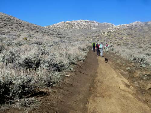
Walking up to Peak 1998
There are numerous rock formations along the way, including a very interesting rock ledge just 0.4 miles past Peak 2014 heading north and excellent views from Point 2007 just west of the rock ledge.
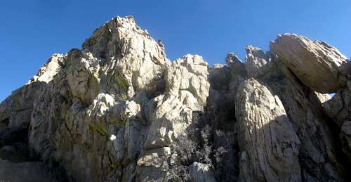
Up on the cliffs
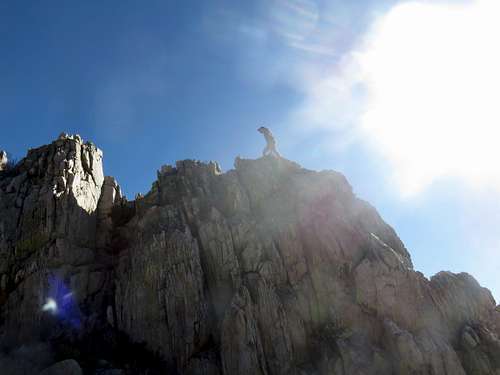
Walking the rock cliff
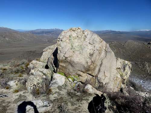
Rock at Point 2007
A loop of both summits can be achieved in 7 miles and 1,800’ of gain, if avoiding any other summits. It is about 8 miles round trip if adding Point 2007 and the rock cliffs.
Reaching these summits is pretty straightforward.
Red Tape
The end of each road is at federal land access. There are no restrictions if parking at the end of each road.