


Dundeel - Aug 7, 2005 4:08 pm - Voted 2/10
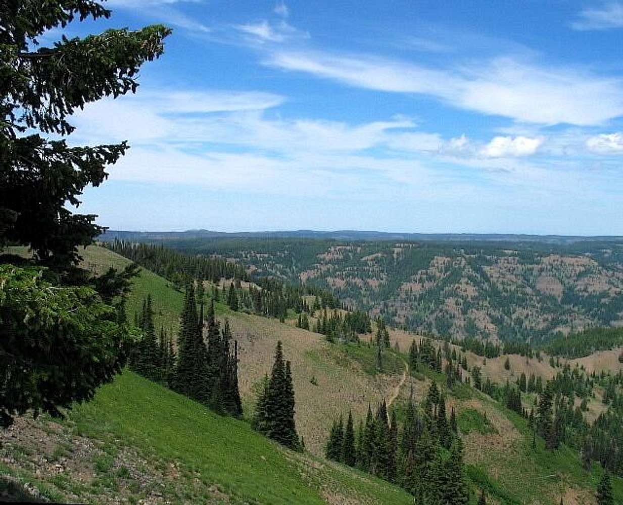
View descriptionThis view is actually looking NE over Grizzly Bear Ridge in the foreground. The trail in the foreground decends into the heart of the Wenaha-Tucannon Wilderness eventually reaching the Wenaha River and Oregon. The Mt. Misery trail circles around the Trout Creek drainage, behind Grizzly Bear Ridge, and follows the rim in the background from left to right.
Diamond Peak and Rays Ridge are out of sight to the right of this view.

Dean - Aug 7, 2005 7:34 pm - Hasn't voted
Re: View descriptionThanks for the heads up. Great bear story mentioned on your summit log entry and congrat's on getting another Wa cohp.
Dundeel - Aug 16, 2005 10:22 pm - Voted 2/10
Re: View descriptionThanks for the congrats Dean. I'd have a tough time catching up to your hp list! I did Rays Ridge and Diamond before coming to Oregon Butte. Most of the roads I drove on are burned out and closed now, but it looks like all three hp's are outside the fire boundaries.


Comments
Post a Comment