The 2175 ft Mount Wall rises in Oklahoma’s Wichita Mountains National Wildlife Refuge. No trail goes to its summit. I had planned a loop hike that would have taken me to the top of Mount Wall in addition to seven other nearby high points. The day that I went to do my hike, however tuned out to be a rainy day with clouds blocking most to all views from the top. Impenetrable growths of bushes slowed down my progress. In the end, I was able to reach the summit of Mount Wall plus three other high points.
Trip Report
Hiking Distance: 5.75 miles
High Points Reached: Point 1751 ft, Point 1745 ft, Point 2015 ft and Mount Wall 2175 ft
On the day before this hike, my wife and I had left our home in Janesville, Wisconsin and driven to Joplin, Missouri where we had spent the night. The next day, we left Joplin and made it to the starting point of this hike near Medicine Park, Oklahoma (900 miles from Janesville) where we stayed for a 5 day hiking trip,
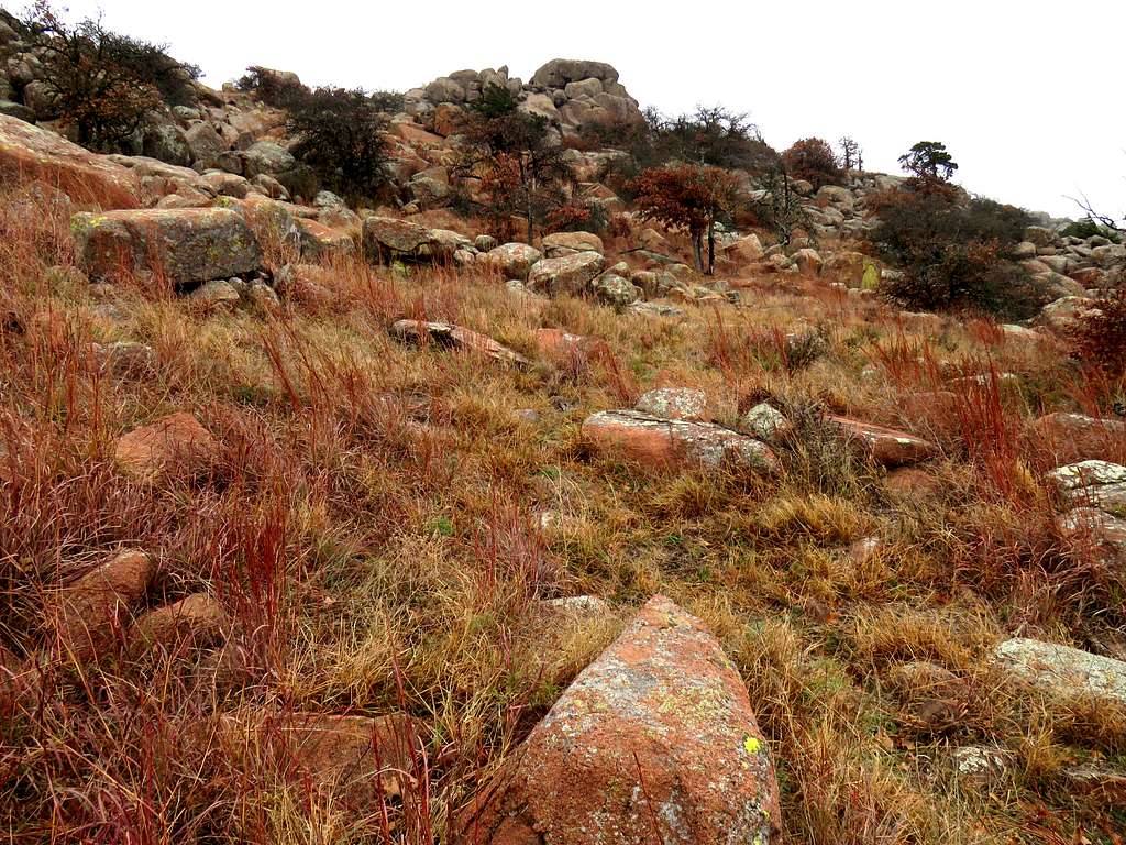
Started my hike at 11:35 a.m. It was cloudy and drizzled at times. Found a beaten path on the grassy plain going northeast. My first goal was to reach the top of Point 1751 ft which sat to the north of where I was. Followed the path for a while, then left it and began to find my own way toward Point 1751 ft which rose 200 vertical feet above me.
Point 1751 ft
The 2015 ft Quetone Point to the northeast.
Quetone Point 2015 ft
Up the slopes of Point 1751 ft.
Up the slopes of Point 1751 ft
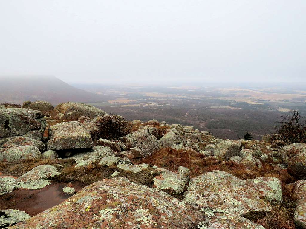
Looking south from the top of Point 1751 ft.
Looking south from Point 1751 ft
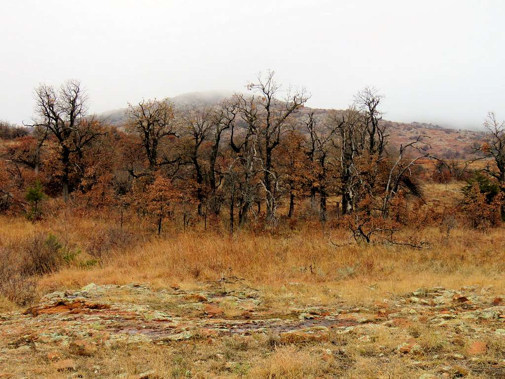
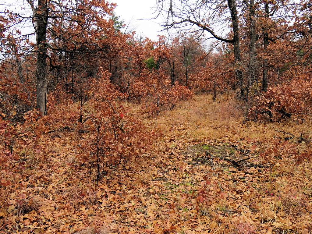
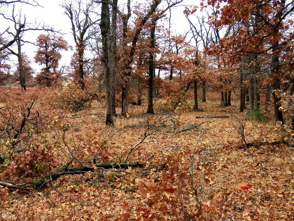
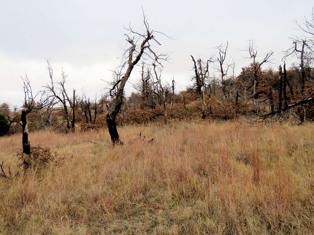
Headed northwest down to a 1605 ft forested area.
Down into treesForestForest
And made it to the top of Point 1745 ft. Looking back at Point 1751 ft.
Point 1751 ft from Point 1745 ft
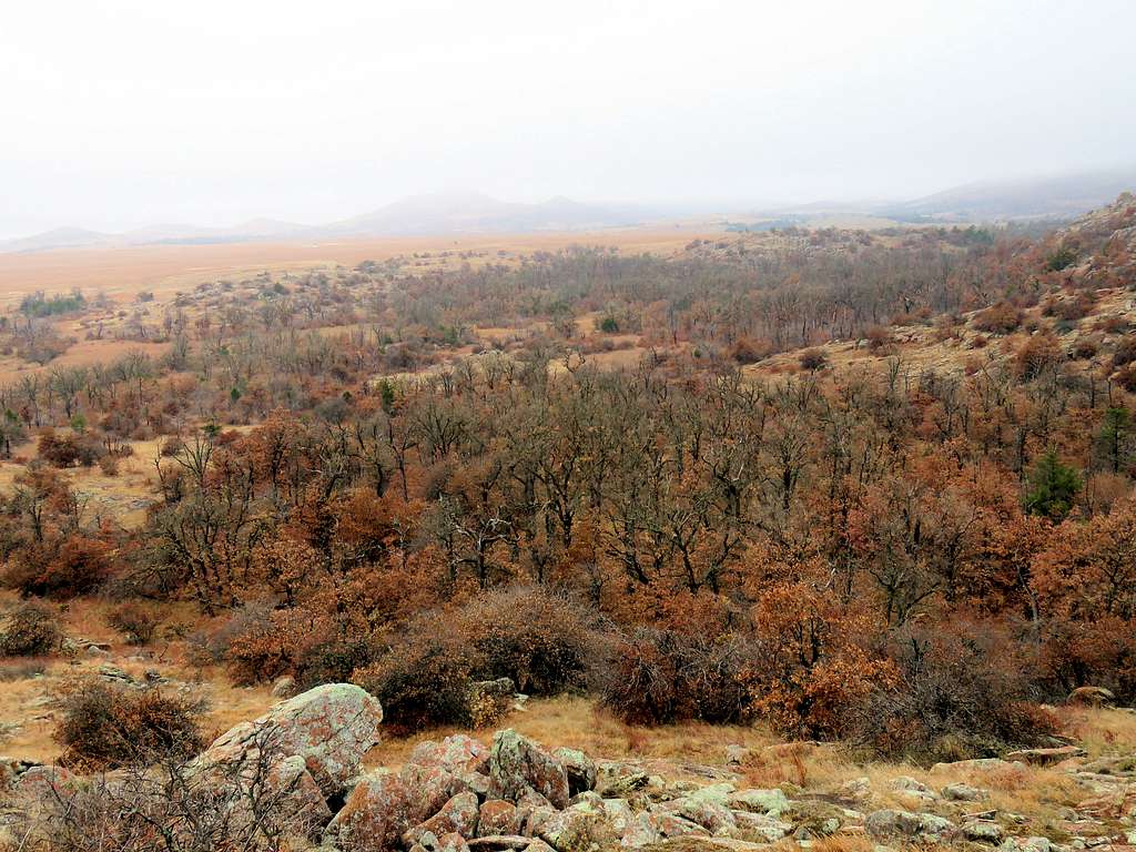
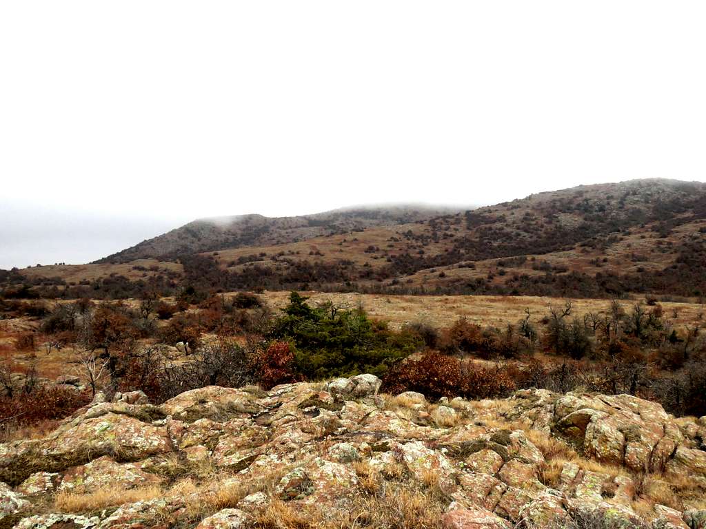
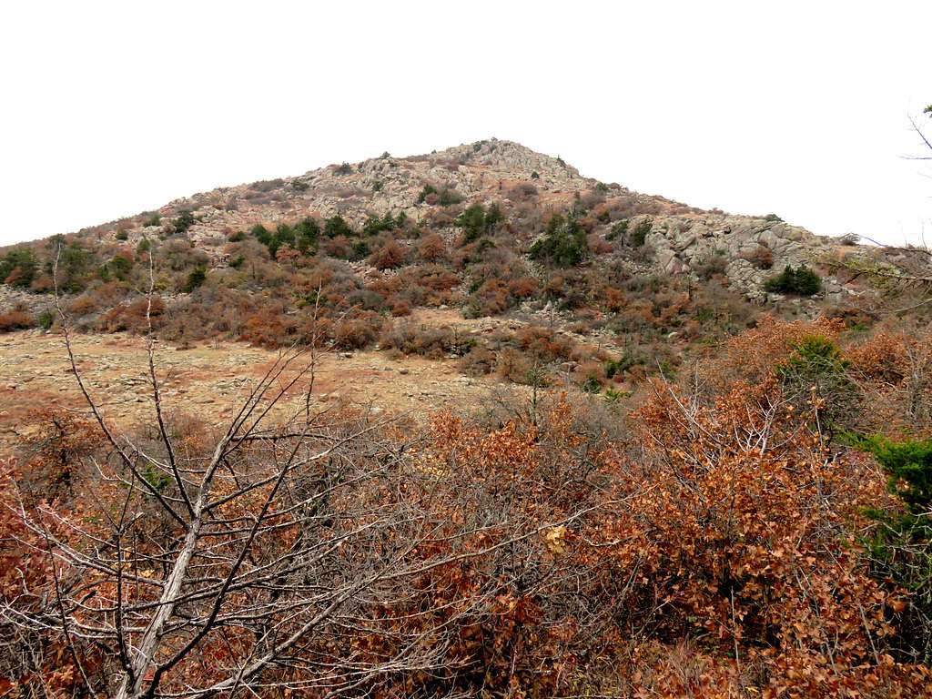
The next goal was Point 2015 ft. Mount Wall’s summit was lost in the fog behind Point 2015 ft.
Point 2015 ft, Mt wall lost in clouds
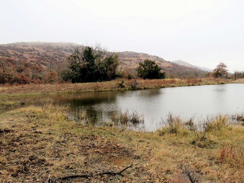
Headed north down to 1615 ft elevation where there was a small lake.
Point 2015 ft from lake
I was then going northeast up the slopes of Point 2015 ft.
Up the slopes of Point 2015 ft
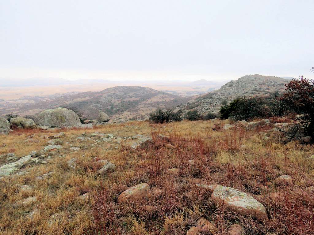
Looking south from the top of Point 2015 ft.
Looking Southeast from Point 2015 ft
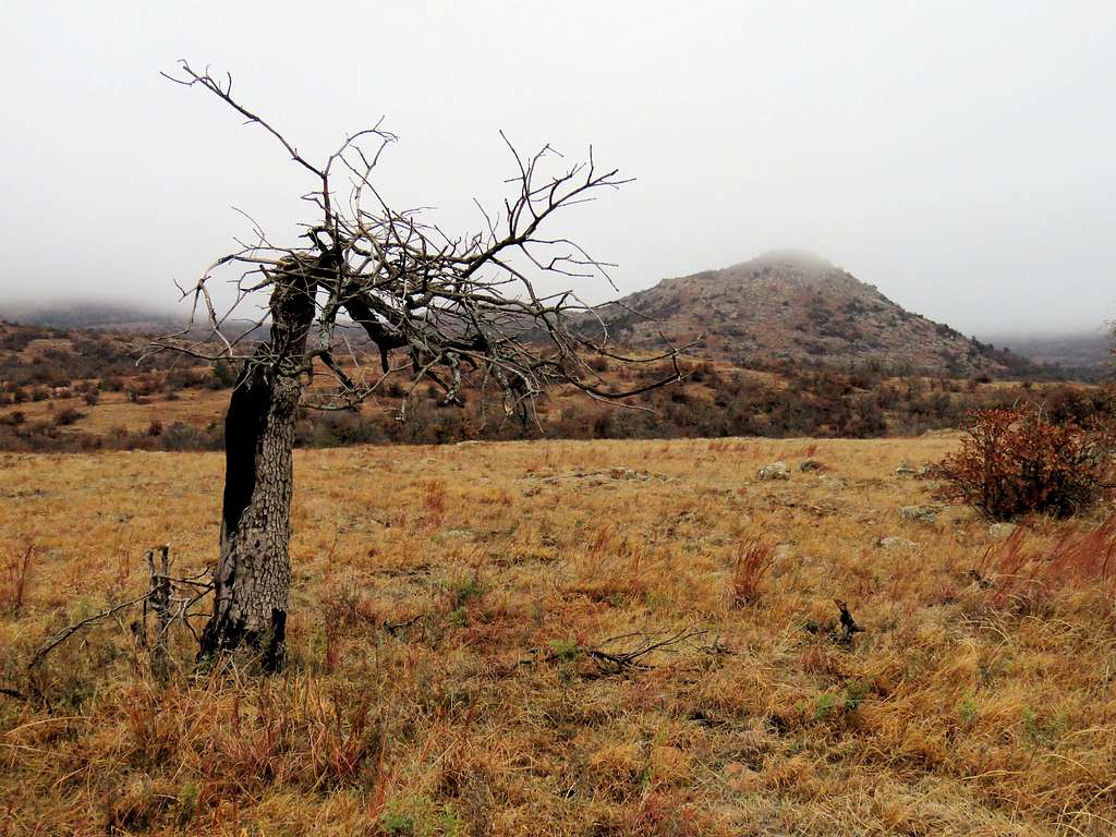
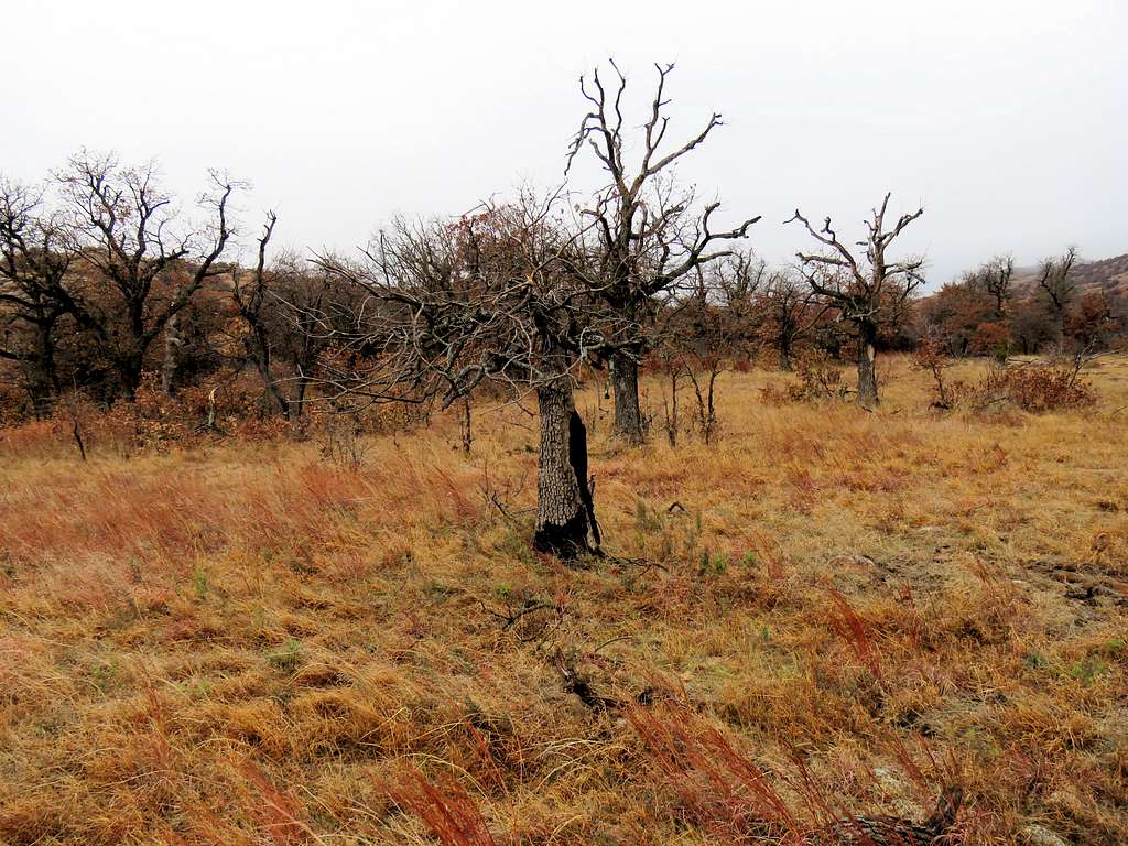
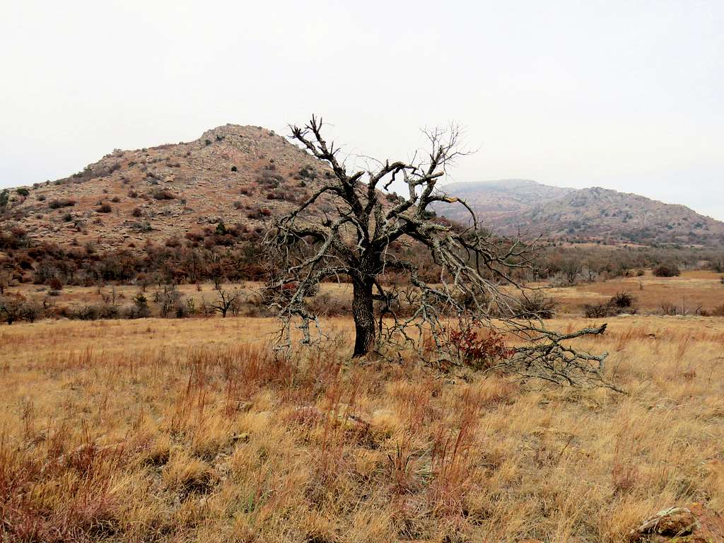
I headed north down toward a 1850 ft saddle but ran into impenetrable growth of bushes. In one place I pushed a branch away but it snapped back hitting me on the lower lip so hard that for a second I thought I was going to pass out. My lip remained numb for 30 minutes. Took me 40 minutes to find a path through the bushes and was finally walking up the slopes of Mount Wall but from then on, was worried about running into bushes again. I only had 2 hours of day light left.
Up the slopes of Mount Wall
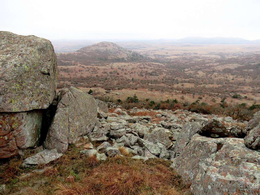
Looking southeast from near the top of Mount Wall.
From near the top of Mount wall
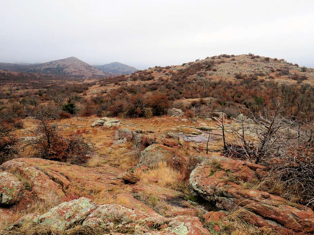
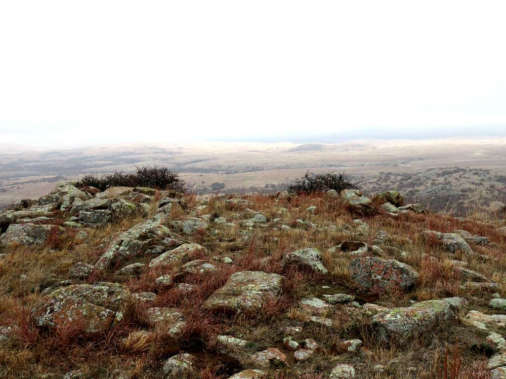
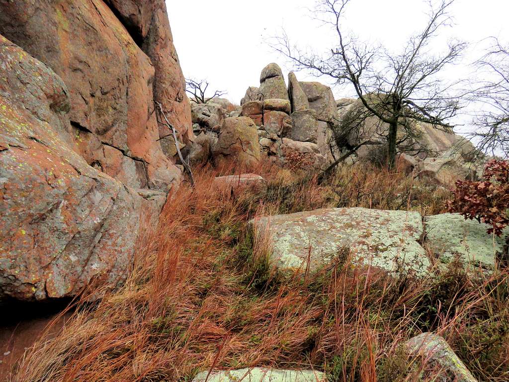
Mount wall creates a long ridgeline giving rise to two different summits. I was heading east along the ridgetop when the ridgetop became rocky. At that point my goal was to complete a loop hike without running into bushes or other obstacles before dark so I decided to traverse the slopes below the rocky crest of the ridgetop where the true summit was.
Traversing the ridgeline of Mount Wall
Down to a saddle and then to the east summit of Mount Wall.
From east summit of Mount wallPoint 2015 ft and 1751 ft
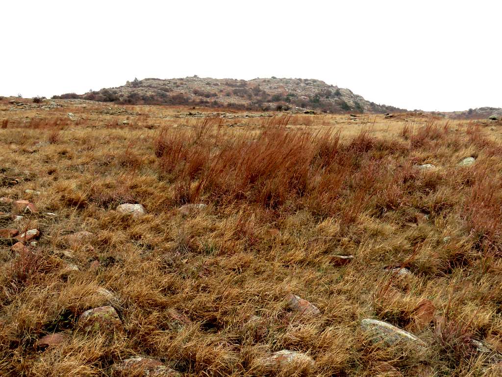
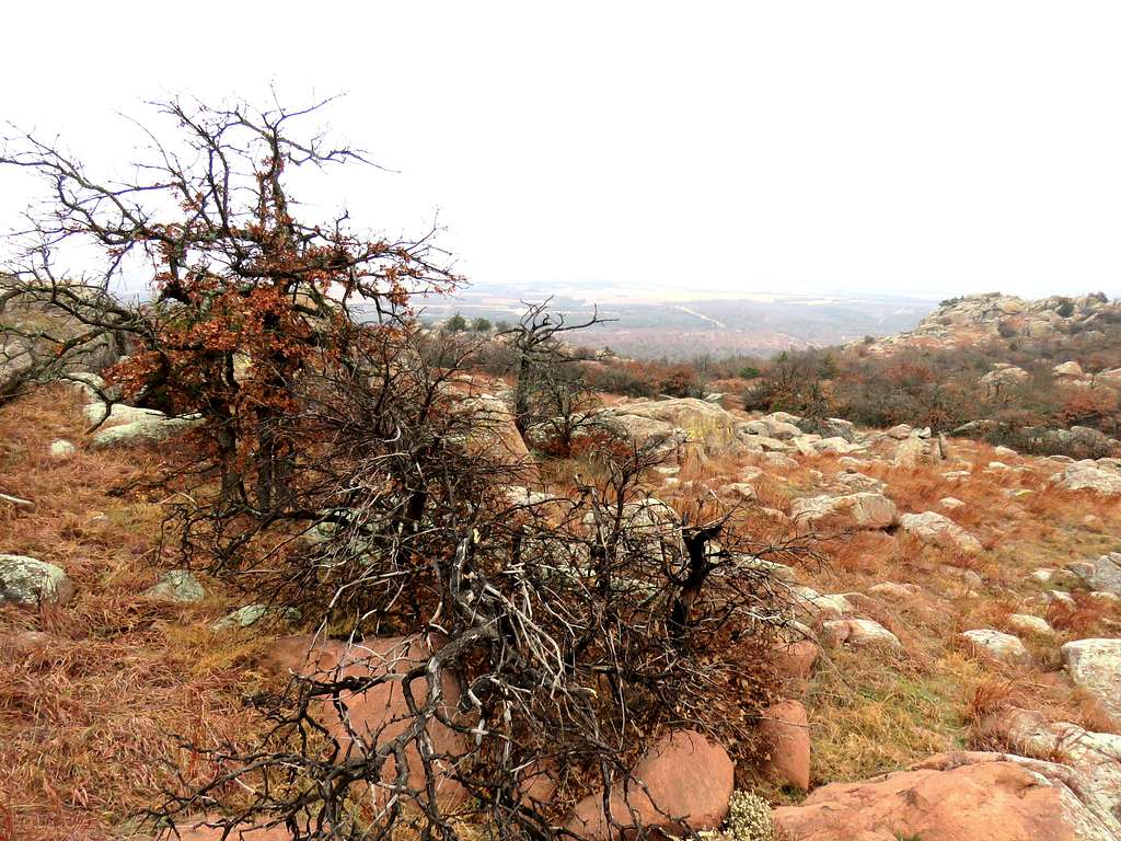
Reaching the top of the next high point (Point 2068 ft) seemed to require a major bushwhack. I decided to give up my goal of reaching the other high points and began to go directly down the slopes into a valley.
Quetone Point
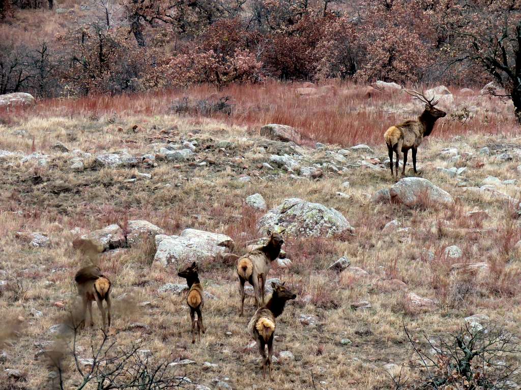
Zoomed view of a herd of Elk.
Elk
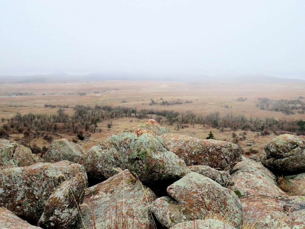
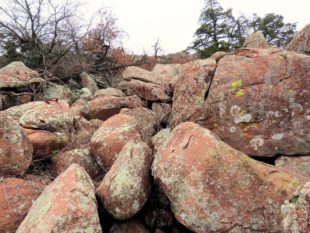
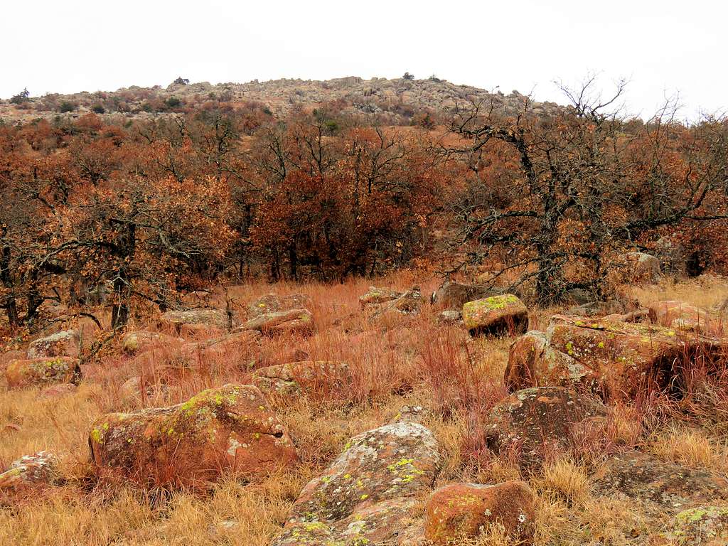
Reached a boulder field.
Boulder field
Looking back at the east summit of Mount Wall.
Mount Wall
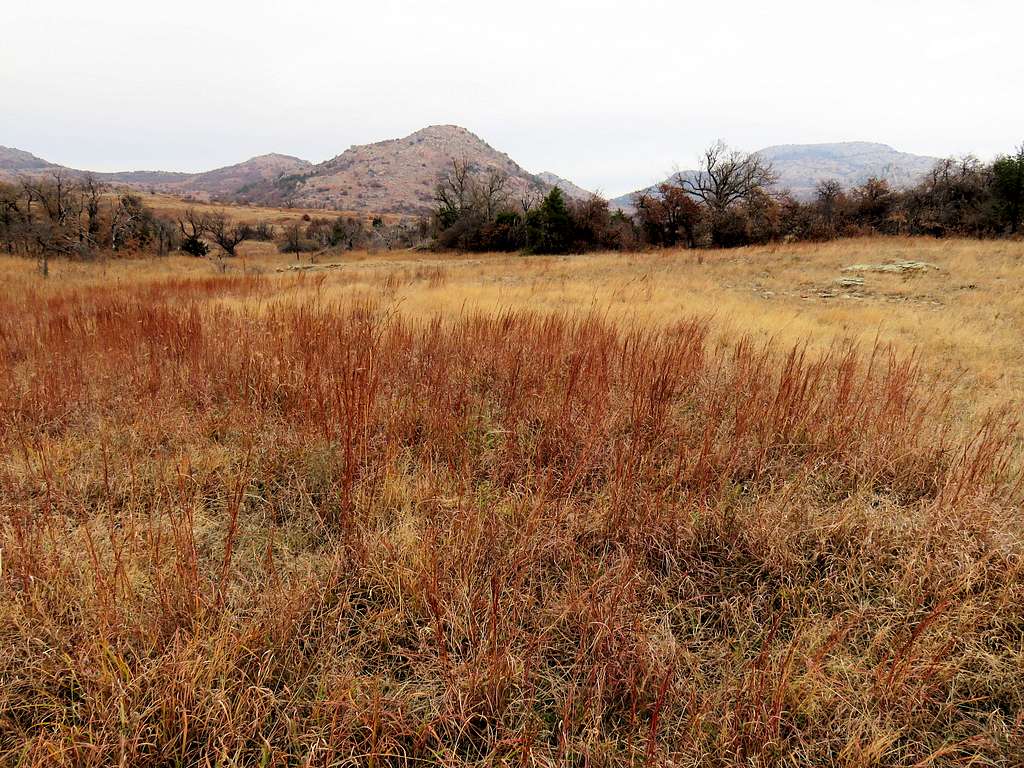
Was still worried about reaching impenetrable bushes but fortunately I could always find a path over open grassy area.
Quetone PointLooking toward Mt. ShermanGrassland
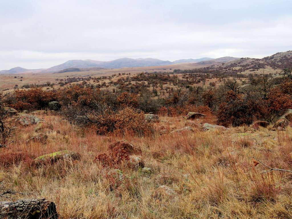
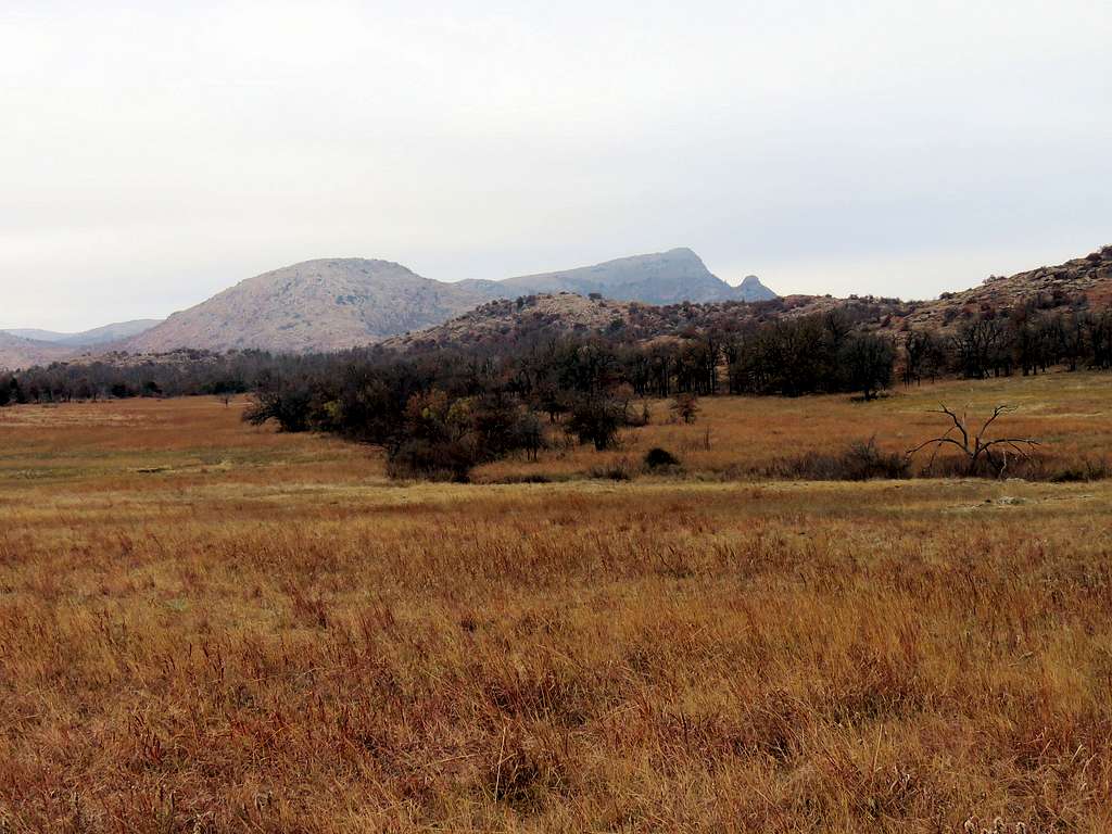
Went up a slope and made it down to the grassy plain again going back toward the starting point. Clouds were lifting and Mt. Scott was coming into view.
Quetone Point and Mount ScottQuetone Point and Mount Scott
Real adventure is in the heart. I became a bit of a captive to those "stunning" vistas. Now I'm sweeping up the beauty found in quiet, humble forests. We're really surrounded by wealth. Have a great Saturday night!
Parents refers to a larger category under which an object falls. For example, theAconcagua mountain page has the 'Aconcagua Group' and the 'Seven Summits' asparents and is a parent itself to many routes, photos, and Trip Reports.


Comments
Post a Comment