

Viewing: 1-1 of 1

Smoove910 - Sep 28, 2009 8:35 am - Hasn't voted
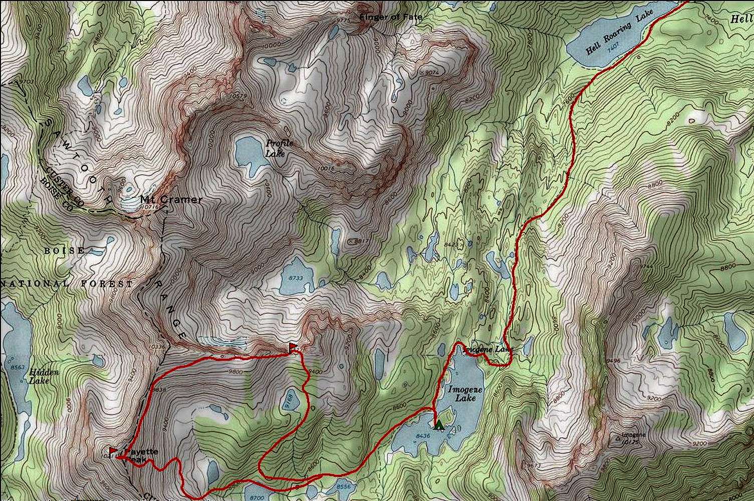
Re: How's that done?Negative, actually this is National Geographic's "Weekend Explorer" software which includes the Sawtooth Range. You can draw the red line where your 'assumed' route was (or upload GPS from your handheld). It'll give total length, elevation gain/loss, etc which is pretty handy!
Cheers,
Kris
Viewing: 1-1 of 1


Comments
Post a Comment