Toggle navigation
Mountains
Routes
Images
Trip Reports
Forum
What's New
People
Areas & Ranges
Articles
Trailheads
Canyons
Huts & Campgrounds
Albums
Logistical Centers
Fact Sheets
Lists
Custom Objects
Gear
Plans & Partners
WELCOME TO SUMMITPOST
SIGN IN
REGISTER
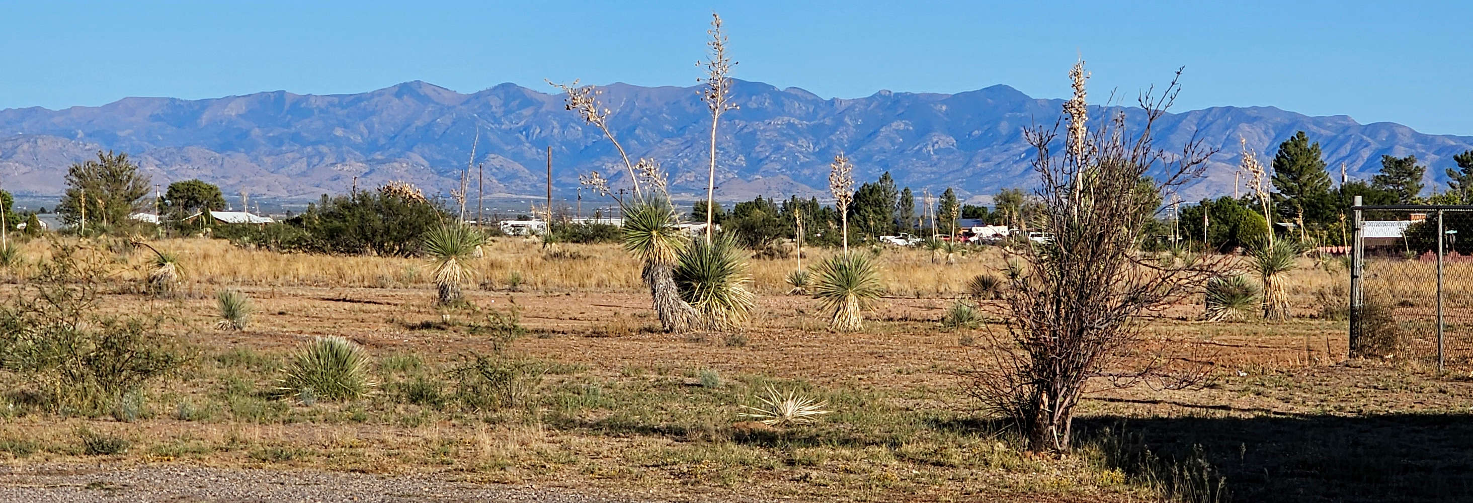
R to L: Monte Vista, Aspen, Chiricahua, Anita, South Flys and Flys Peaks
View High-Resolution Image
R to L: Monte Vista, Aspen, Chiricahua, Anita, South Flys and Flys Peaks
From the junction of Routes 191 and 181, Arizona, late October 2023, west face of Chiricahua Mountains
« PREV
NEXT »
nader
on
Jan 6, 2024 7:29 am
Comments & voting
Other parents
Lat/Lon:
31.88721°N / 109.69473°W
Image ID:
1083145
264 Hits
77.48
% Score
8
Votes
Log in to vote
Comments
No comments posted yet.
to post!
Don't have an account?
Chiricahua Mountains
(Area/Range)
You are at
the First
Image
Viewing
#1 of 1
GALLERY
You are at
the Last
Image
nader's Image Gallery
« PREV
Viewing
#2324 of 15273
GALLERY
NEXT »
Chiricahua Mountains
(Area/Range)
Loading....
×
You need to login in order to vote!
User Name
Password
Remember me
Forgot your password?
Log me out when I close my browser.
Keep me logged in all the time.
sign in as a user
Don't have an account?
Register now for FREE
Rating available
Suggested routes for you
People who climb the same things as you
Comments Available
Create Albums
Register Here


