
|
|
Mountain/Rock |
|---|---|
|
|
Scrambling |
|
|
Overview
Tintic Mountain is a prominent peak visible to the west as you drive between Payson and Nephi on I-15. It has a large broad summit ridge so when there is snow on it the peak it really stands out. This is the highest point in the East Tintic Mountains south of Eureka.
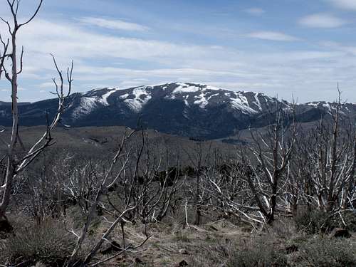
From East on Long Ridge
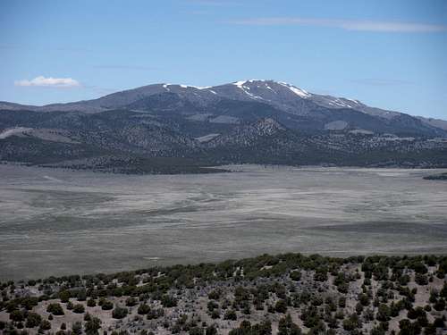
From south on Sugarloaf
Getting There
From the intersection of highway 6 and 36 west of Eureka, go south on 6 for 6.4 miles. Turn left onto a large unsigned dirt road called Dennis Road on some maps. Go 1.4 miles up (Copperopolis Creek) hitting a Y intersection. Go left. Follow for 2 miles crossing several creeks. At 2 miles is another split, this time go right for 0.6 miles to the old Dennis site. Here is a final split at the base of Tintic Mountain. Those without 4WD could park here and easily walk one of many routes up. To the right looks like a more direct route but the road/ATV trail doesn't go as high as a left turn where you can drive another 0.8 miles reaching 7,480 feet. If one really disliked their vehicle, you might be able to go all the way to the 7,700 foot pass.
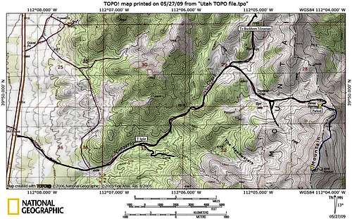 Tintic Mountain Map
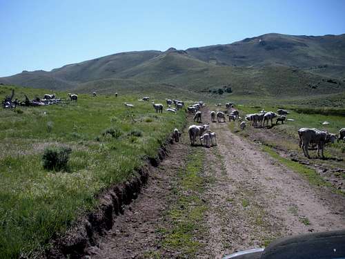 Sheep on approach
Red Tape
None
Route
Walk up the 4WD road as it becomes more like an ATV trail with each step. The tracks cross over a north shoulder of the peak at 7,700 feet. Now the trail drops just a bit before traversing below the north ridge and climbing a small rise on the east. I left the trail at this point as the trail only descends from there. Now climbing east or southeast, gain the summit ridge north of the top. The brush here is minimal but a few spots may need to be worked around. If you gain the summit ridge early, there are 2 false summits. Just keep climbing until you are on the highest point. About 3 minutes walk from the highest point is a lesser summit to the east with the "Kimball" benchmark on it.
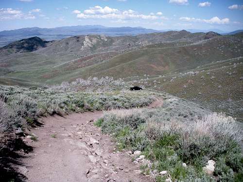 Parked at 7480
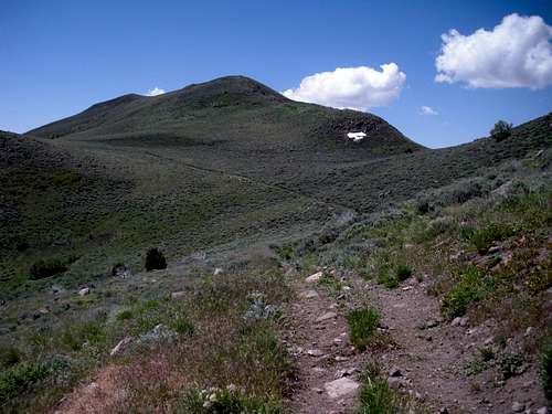 From pass at 7700 feet
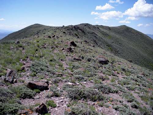 Summits from false summit
Summit Shots
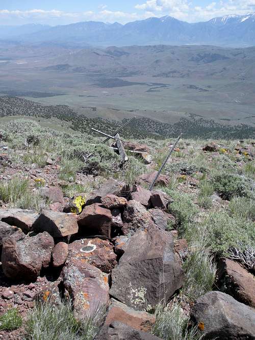 Summit Benchmark
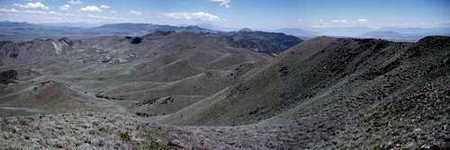 View North
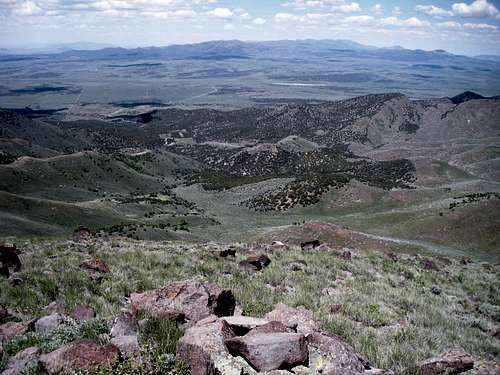
Sheeprock Mountains
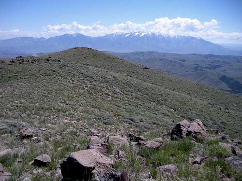
Kimball BM & Nebo
Nearby Peaks
Dean wrote a report on nearby Buckhorn Mountain, http://www.summitpost.org/mountain/rock/604012/Buckhorn-Peak-UT-.html
 Buckhorn Mountain