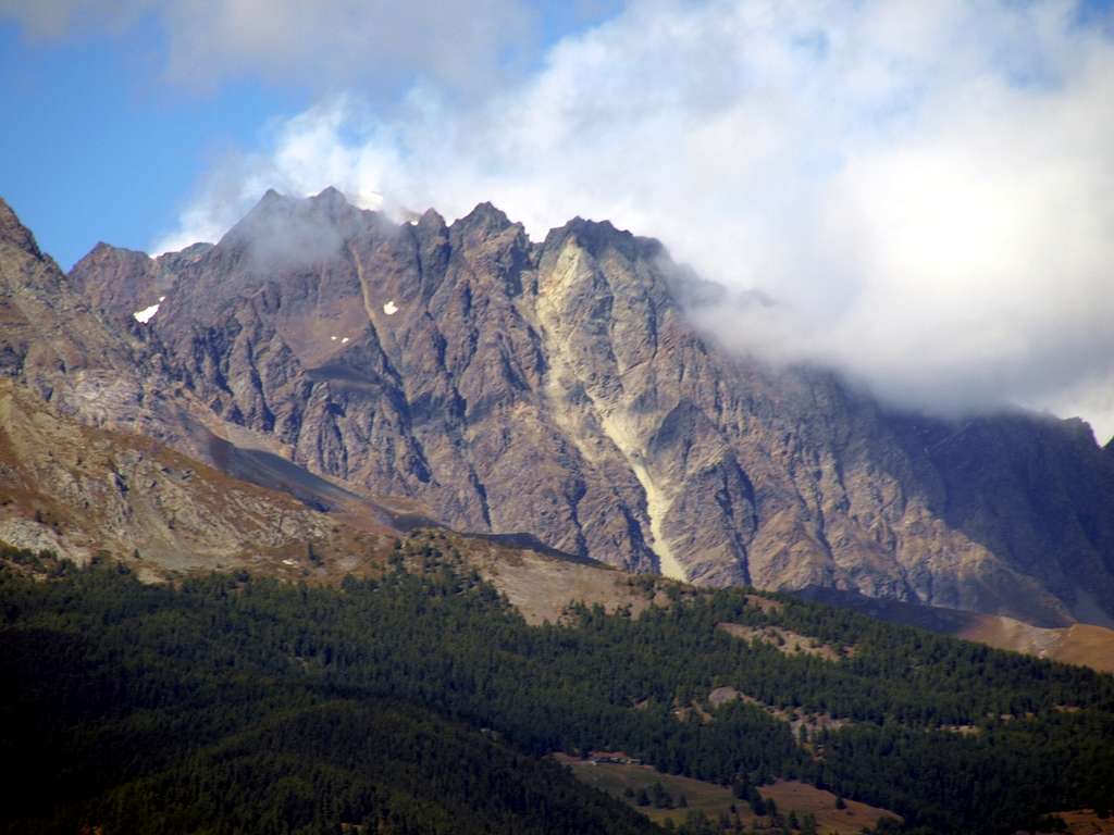
The long but secondary watershed (between Conca de By/Menouve-Molline Valleys) from the Tête des Crêtes (3258m, at the extreme left margin or South-southwest) and the rocky pyramid of the La Salliaousa (3322m). In distance: Quota 3678 meters on Western Ridge (from Colle d'Annibale or Hannibal's Pass, 2992 metres) of Mont Velan (3734m).
To the right or E-SE: the partial superior crest of the important watershed (Italy-By Basin/Switzerland-Valsorey) from the Mont Velan or V'lan" downhill up the V'lan's Horns (Minihorn, Brokenhorn, Western 3620 meters, Eastern Brèche (3610/2 metres about, Mini Central 3610/15 metres around and not much evident, Eastern 3618 meters around), V'lan's Jags (about 3595/90/85/80/70 meters) with just detached to the East the Little Velan's Tooth (about 3530/35 metres), Testa d'Ariondet also Testa de Riondet (by now the both in the shade; 3.485 meters Kurz's Map), Doigt du Velan (3314m) up to the Col des Chamois (3259m) .
September 25th, 2019. Foto by Osvaldo Cardellina
