
|
|
Area/Range |
|---|---|
|
|
39.91296°N / 119.99817°W |
|
|
Hiking, Scrambling |
|
|
Spring, Fall, Winter |
|
|
6060 ft / 1847 m |
|
|
Overview
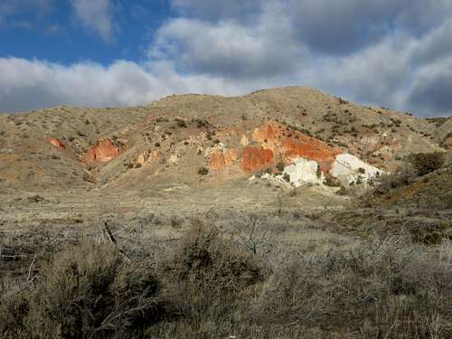
Red Rocks summit area
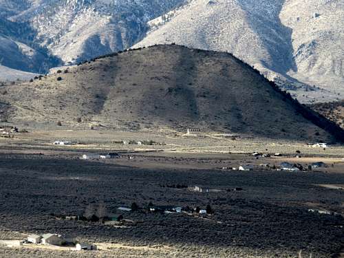
Located about 30 miles northeast of Reno, Nevada, the Red Rocks series of hills is a charming, colorful hiking and climbing area. The “red rocks” are located in the western part of the area, located partly in Lassen County, California and partly in Washoe County, Nevada. All the summits in the area, however, are in Nevada.
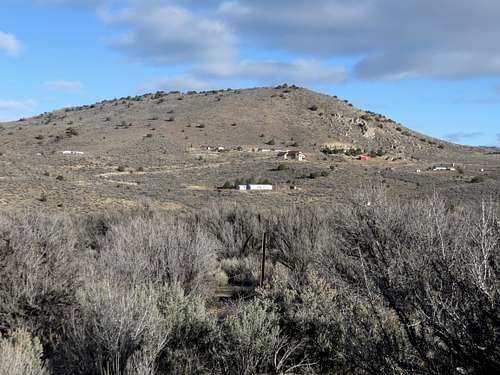
The area itself, stretches about 4 ½ miles north-south and 5 ½ miles east-west. The mountains in this area are steep, rising sharply from the valley in between them. The range is made up of the Seven Lakes Mountain ridge which stretches from the Red Rocks to the west towards the high point of Seven Lakes Mountain at 6,060’ in the east. This is the main part of the range. However, two steep, protruding peaks rise south of the ridge; Red Rock 5,184’ rises nearly 600’ above the road between it and the Seven Lakes Mountain ridge and Porcupine Mountain 5,352’ rises over 600’ above a road between it and the Seven Lakes Mountain ridge.
These four summits together, make up the Red Rocks area summits.
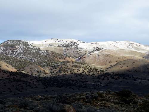
Seven Lakes Mountain 6,060'
North Red Rock Summit 5,794'
Porcupine Mountain 5,352'
Red Rock 5,184'
There are two summits on Seven Lakes Mountain that are distinct. Peak 1766 or the North Red Rock Summit is approximately 5,794’ with a prominence of 360’. It is reached by hiking up above the Red Rocks on the California side of the range. The summit itself is in Nevada.
Seven Lakes Mountain is located almost three miles further east. It is reached from various routes, although the most direct is from the south.
The best time to hike in the Red Rocks area is late October through April. Avoid the area after rain storms; it is better hiked in dry conditions. The summer is too hot, and snakes can be an issue in rocky areas.
Getting There
There are two ways to reach the Red Rocks. Assuming a southern approach, from Reno head up US 395 towards Susanville. Enter California and drive about 17 miles to the Red Rock exit. All of the summits are accessed from Red Rock Road or dirt roads off of Red Rock Road.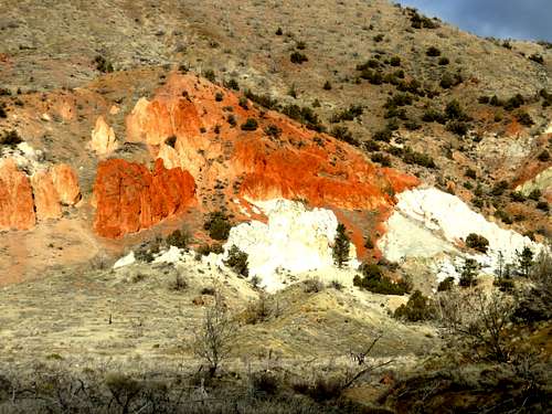
Red Rocks close up
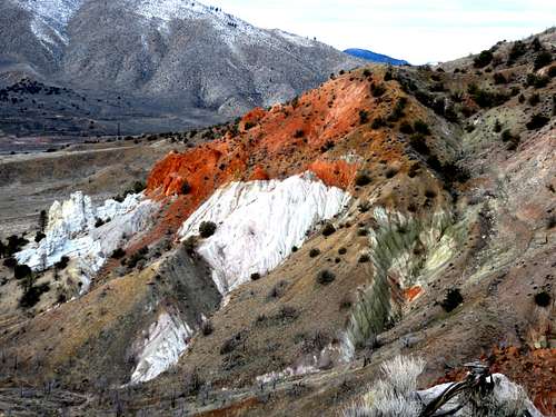
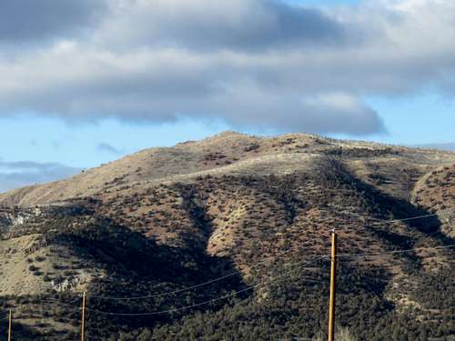
The Red Rocks seen from the east ridge
You can also take a longer scenic route up Red Rock Road from the south; about 10 miles north of Reno. This is about the same driving distance to the red rocks, but probably takes 10-15 minutes more to drive.