|
|
Trip Report |
|---|---|
|
|
36.59989°N / 118.29295°W |
|
|
Jul 31, 2017 |
|
|
Hiking |
|
|
Summer |
Mt Whitney & Boundary Peaks 2017 Adventure Intro
I’m a week out from my next highpointing trip and giddy with excitement. At this point I’ve completed all the planning and logistics so I’m left to reminisce about past highpointing adventures and figured may as well do a trip report while currently front of mind.
When my cousin/highpointing partner moved to Los Angeles from NYC (where we both were at time) that instantly that put the Mt Whitney & Boundary Peak highpointing weekend plan in my sights. I lived in LA for 2 years in my 20’s but didn’t start highpointing (or getting into hiking/outdoors stuff) until moving back to East Coast which I lament now. We put in dates in February lottery and were initially denied but were able to reserve Monday 7/31 once open days were posted, the rest of schedule was built off of this to minimize time away from family and work. As always this would be a short action packed weekend of adventure.
Day 1 – Do you like travel?
I awoke and had a car pick me at 3am and took first flight out of NYC direct to Los Angeles. 6 hour flight but with time change arrived mid-morning. Jeff picked me up at airport with his car filled to the brim with all the gear we’d need for this weekend adventure and we set off towards Boundary until we were quickly stopped by LA traffic (I don’t miss that). We stopped at Kinetic Brewing Company for lunch in Lancaster, CA after about 2 hours driving and then for a quick beer at Mountain Rambler Brewery in Bishop, CA after another 3 hours, and then we finally made it to Queen Mine maybe 1.5 hours after that. It was a very bumpy and not great road to get to Queen Mine and with our clearance we were nervous we’d get stuck. With a 4 wheel drive and better clearance you can drive an additional mile higher than the mine to the saddle and camp there and save yourself some time and elevation gain. Coming from sea level I hoped a nights rest at 9,200ft would help with acclimatization.
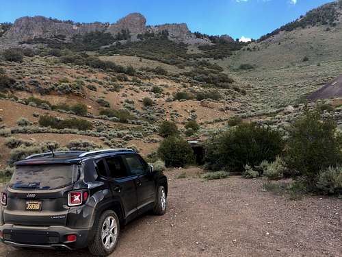
We set up camp and made a fire.
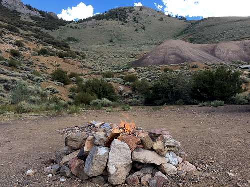
Jeff had been marinating chicken and veggies in a cooler all day and we grilled them up over naan which was delicious.
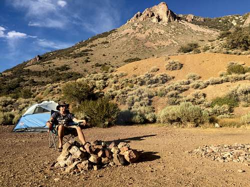
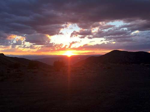
Enjoyed a lovely sunset over whatever type of terrain you’d call this, desert scrubland? One item of note is there are aggressive mice in the area that are not scared at all of people and will try to steal food and cause other mischief.
While trying to sleep there was thunder and lightning that was too close for comfort, paired with I think a mouse trying to get into the tent and I got very little sleep despite how long a day of travel I endured.
Day 2 – Boundary Peak Highpoint #35
We woke just before dawn and started breaking down camp during which two trucks went flying past us to begin their hikes higher up. We were treated to a perfect weather day and we started in light jackets which were removed in fairly short order.
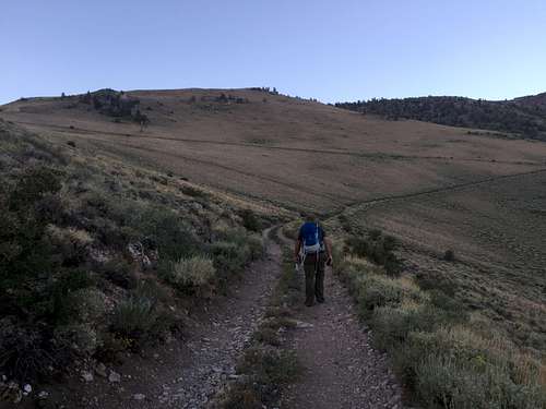
We made steady progress and encountered some wild horses on the hillside.
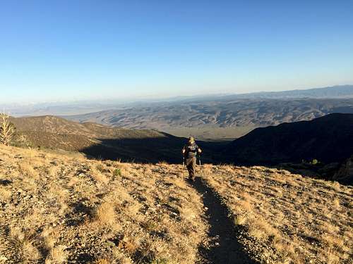
Everything was going swimmingly and made it up to the initial scree fields without issue.
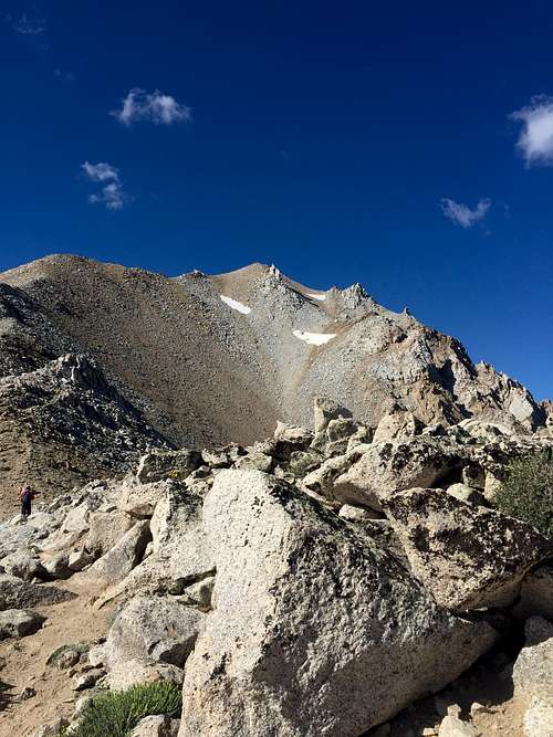
Then when we got to the saddle/horn area we had caught up to a gentlemen in front of us and we couldn’t quite figure out which way to traverse around since not a real trail at this point. The guy said he found a path on the left/east side that fairly quickly got us in some trouble with steep scree and potential rock fall issues. So we all gave each other lots of space and figured our own ways up. I made it up to ridge and solid footing after like 30 minutes but couldn’t spot Jeff anywhere which obviously made me nervous. I started hiking forward to get different vantages and eventually spotted him way down below working his way up a different angle. I was able to eventually get enough cell service to just say I’d meet him at top.
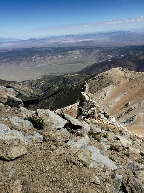
When I summited I ran into the drivers of both trucks, one was the guy who lead us east and another was a highpointer who’s license plate was 4ever49 meaning he summit 49 state highpoints but is not getting Denali (not sure if he tried once or not). Anyways he’d hiked Whitney like 17 times and Boundary like 10 or so we chatted for a while about all things highpointing and the club etc.
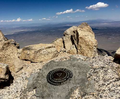
Both the guys left and I enjoyed my lunch and some time with my boots off and took some selfies.
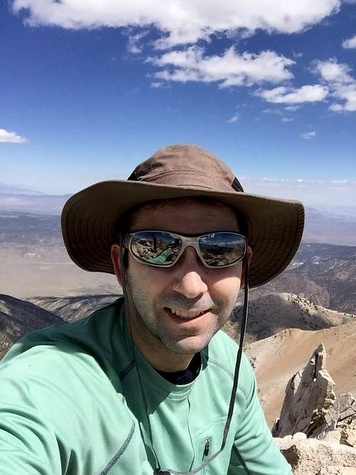
Jeff finally made it to top maybe 45 minutes later to my relief and we hung out at top for a while before heading back down. This time at tricky section we took the right/west way which was safer and more rock hopping & scrambling than scree which I’m better at. Passed maybe an additional 5 or 6 hikers making their ways up at this point. Heading down the scree fields my feet started really feeling it. While training for this adventure although I was in good cardio shape I didn’t put enough trail miles on my feet and they were really throbbing (although nothing compared to two days in future). Jeff had done a 6 pack of peaks in 6 weeks leading up to this adventure at increasing altitudes and mileage so his feet were in good shape and was faster than me for the last quarter of hike so that’s a lesson learned. On hillside returning to saddle the wild horses were back and this time blocking the trail. We had to give a wide berth off trail since one had the look like he wanted to rear back and kick. Made it back to car & GPS said about 10.5 miles of hiking (felt much longer with all the rock) in decent enough time although a little more challenging hike than I figured and then we headed out. I didn’t want to lose any altitude by sleeping too low but also wanted a shower etc so we decided to stay in Mammoth, CA 1.5hrs away. We visited Mammoth Brewing Company for dinner which is the highest elevation brewery in continental US, which is too fun a fact for me not to visit, and stayed down the road at a hotel probably around 8500ft elevation and enjoyed an indoor pool and hot tub.
Day 3 – Rest & Resupply
This morning upon waking we hit up local super market to resupply and then we headed to Lone Pine, 1hr 40minutes ride, to pick up permits. I bought some souvenirs and a cool Mt Whitney hat, which I wondered is it bad luck to buy that stuff prior to attempting a summit? Ate locally and then headed to trailhead just to scope out since it’d be dark the next time we saw it. Going up the Whitney Portal road is winding and rather scary since there are not always guardrails and there are steep drop offs. The air is so fresh up here, especially coming from NYC and LA like were you can't help but be invigorated.
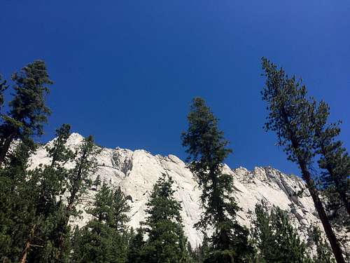
Then we headed to Horseshoe Meadows to camp for the night that’s like an hour away up equally scary mountain roads. Lots of fellow campers at horseshoe meadows and it’s a nice facility with bathrooms, fire pits, and bear boxes it’s quite scenic but those roads may prevent me from returning (maybe).
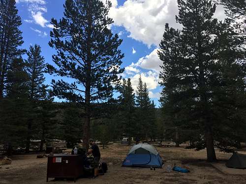
The reason we stayed here is again acclimation since Horseshoe Meadows is over 10k ft figured this would help. Cooked some sausages and corn on the cob.
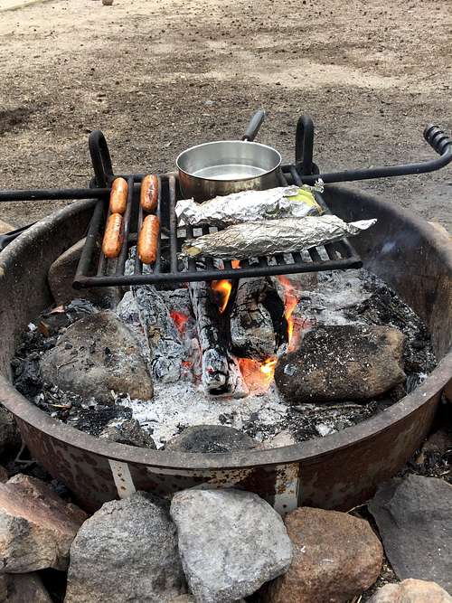
I got a few hours sleep and I believe Jeff did not.
Day 4 – Mt Whitney Highpoint #36
Since the Sierras had huge snow year I’d been checking snow reports anxiously in weeks leading up to this trip and it seems that finally the main trail is mostly snow free.
12:00 am Break camp and by 1:45am we get to trail head, put on headlamps and begin hiking, again we couldn’t ask for better weather. Hiking in the dark was cool and very pleasant.
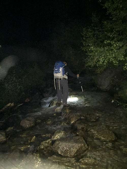
I brought water shoes for crossings which only slightly helped as the melt was strong making crossings wide and my toes were screaming from cold.
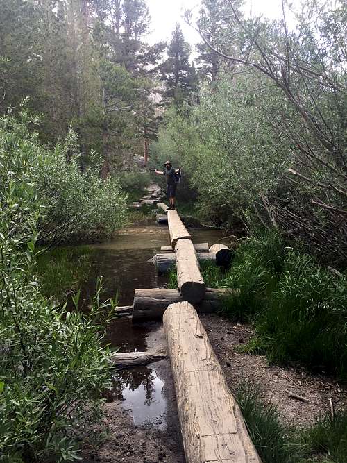
We had some nice views of sunrise at Trailside Meadows.
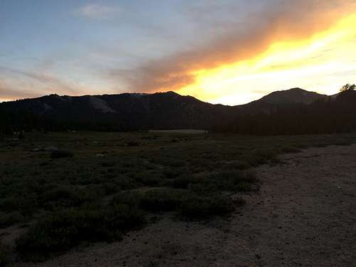
There were two snow crossings that were quite steep that you wouldn’t want to fall, one here and one I think at one of the switch backs, I chose to put on microspikes since better safe than sorry and I was carrying them anyways. Some people just ran across but that seemed precarious. We stopped at Trail Camp for breakfast # 2 and to filter water.
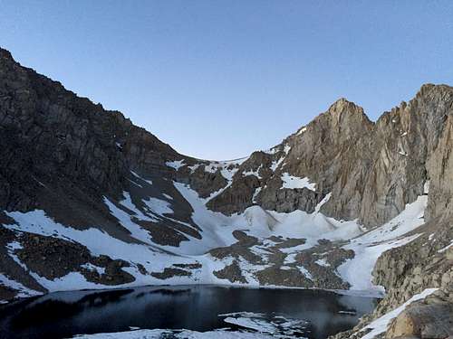
Plenty of people had camped in area and were waking to start climb along with us. It was time to start the infamous 99 switchbacks my legs were feeling great and I moved at decent pace up, Jeff had a far slower pace on the accent here and we wouldn’t meet again until summit. Thats Jeff below in pic
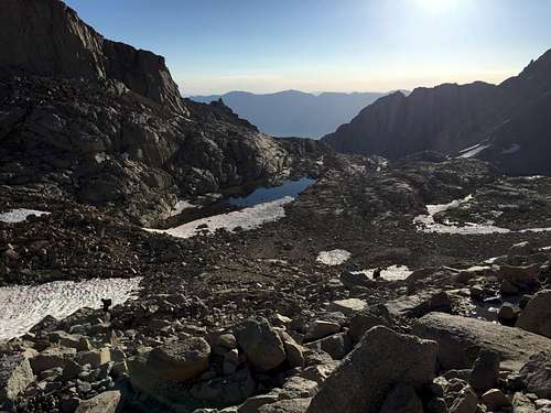
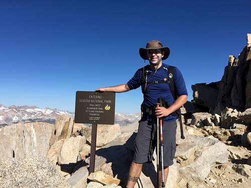
At trail crest I stopped to eat a snack apply sun screen and some other hikers took my picture but failed to mention I did not rub in sunscreen thoroughly and it was all over my face.
From here the hike gets a bit more exciting with narrower parts of trails with steep drop offs, some rock hopping and had to be careful at turns but overall did well. It wasn’t until last mile or so and final elevation push that I started to feel effects of altitude and sun and tiredness.
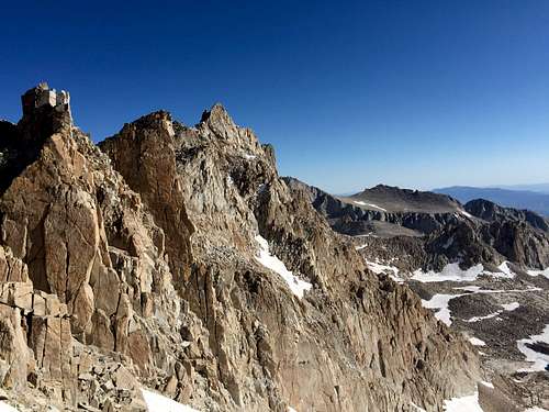
Pushed through and summited to bright blue skies.
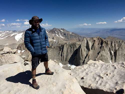
This was highest I’ve ever been (Jeffs been higher on Mt Kenya) and it seemed my acclimatization plan worked fairly well. It was a touch windy and cooler at top and I found a shaded spot and forced down some more food, took off the boots and rested. Lots of people up top to chit chat with
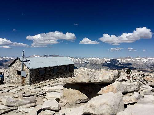
Jeff made it to top maybe an hour later and we took some shots and signed register etc.
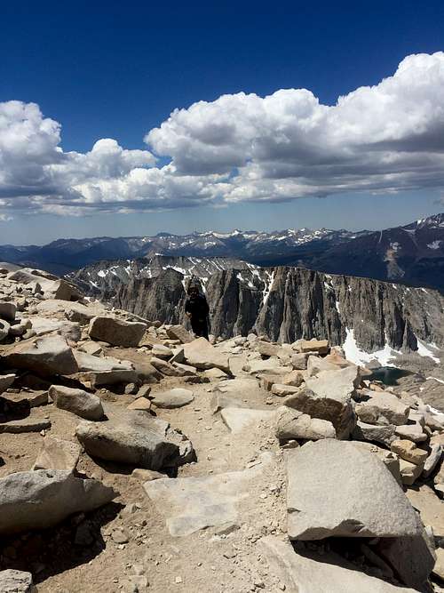
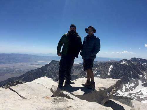
I was going to let him rest a bit and start my descent earlier since I am slower going down, unfortunately I lost trail and hiked 20 minutes or so in wrong direction only to have to re-climb most way to summit, that’s where I re-joined Jeff and we started off towards bottom together. Made decent progress back to trail crest, it was here that my feet started throbbing again and despite eating lots of ibuprofen the rest of the hike wouldn’t be fun. Jeff’s hiking training came through and he kept a steady pace all way down switchbacks and I started lagging behind. We met back up at trail camp to refill water and I iced my feet in the glacier waters which helped for about a mile or so. The last 5 miles my feet were in agony but after long last we made it back to trailhead at 6:45pm so 17 hours RT which is a little slower than I predicted but we were in no rush. Anyways celebrated with burgers and a beer at the portal store, changed into sandals and my feet screamed hallelujah. The 3.5 hour drive back to Jeff’s Hollywood apartment was awful and felt like it’d never end mostly since we were both so tired. Got a few hours’ sleep and flew home the next morning. Great adventure weekend and feeling of accomplishment. If Jeff ever sends me his pictures from this trip I’ll add some of them and this report will pop, buts it’s been almost a year so not looking good there.
Well I’m off to highpoint LA, MS, AR, & MO next week a different sort of highpoint mission.

