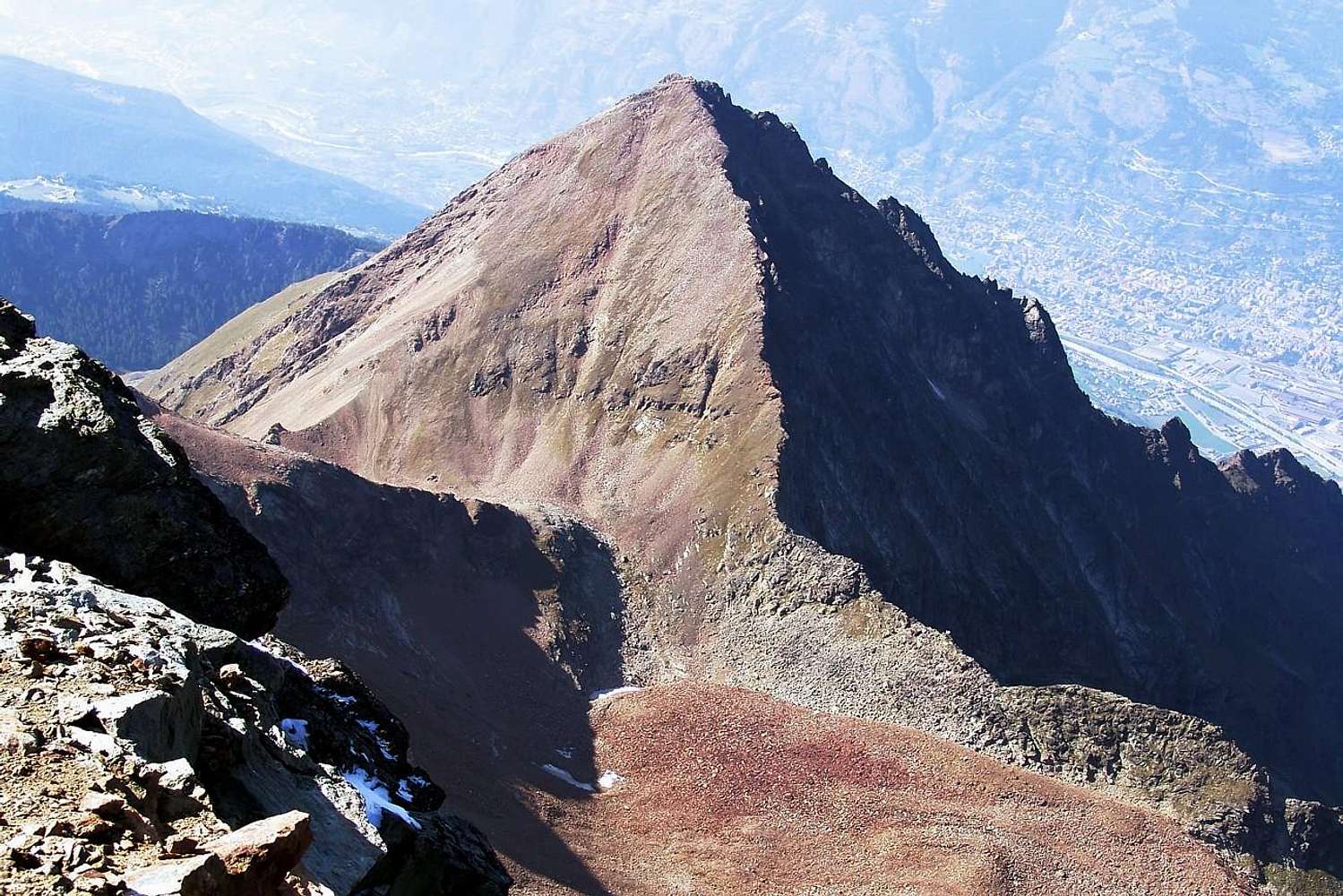
Becca di Nona (3.142m) from Monte Emilius (3.559m).
From Emilius Summit and left: S-SW Slope or Normal Route, E-SE Crest, E-SE Face, E-NE Crest with the Saddle 2.880m about, E Wall and N-NE great Ridge with "La Dent" (2.736m).
Bottom: the beginning of "Via Ferrata" on Emilius's NW Ridge, Carrel Hill, little mountain range morainic basin to North Wall and Arpisson's Walloon.
In distance: Pila's Touristic and Ski Resort (left), the Dora Baltea Stream and the Westerner Road to Courmayeur-Mont Blanc (center) and Aosta Town.
Photo
by
Emilio Bertona


