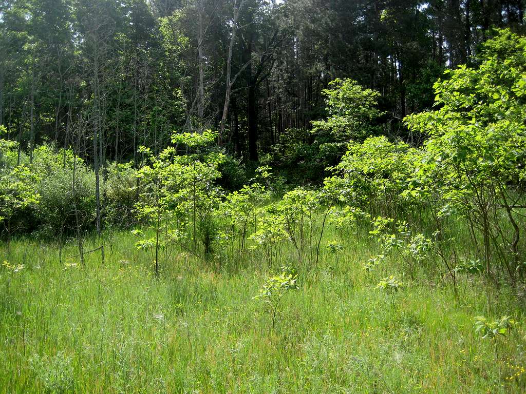
At the eastern end of the open area (looking generally south), there is an opening and the land slopes upward. So, I went this way.
When I returned from the top of the hill and benchmark, I actually came back out into the open area a little bit west of here - and that was probably the actual route of Fire Tower Trail.
Either way, it's still a bushwhack.
