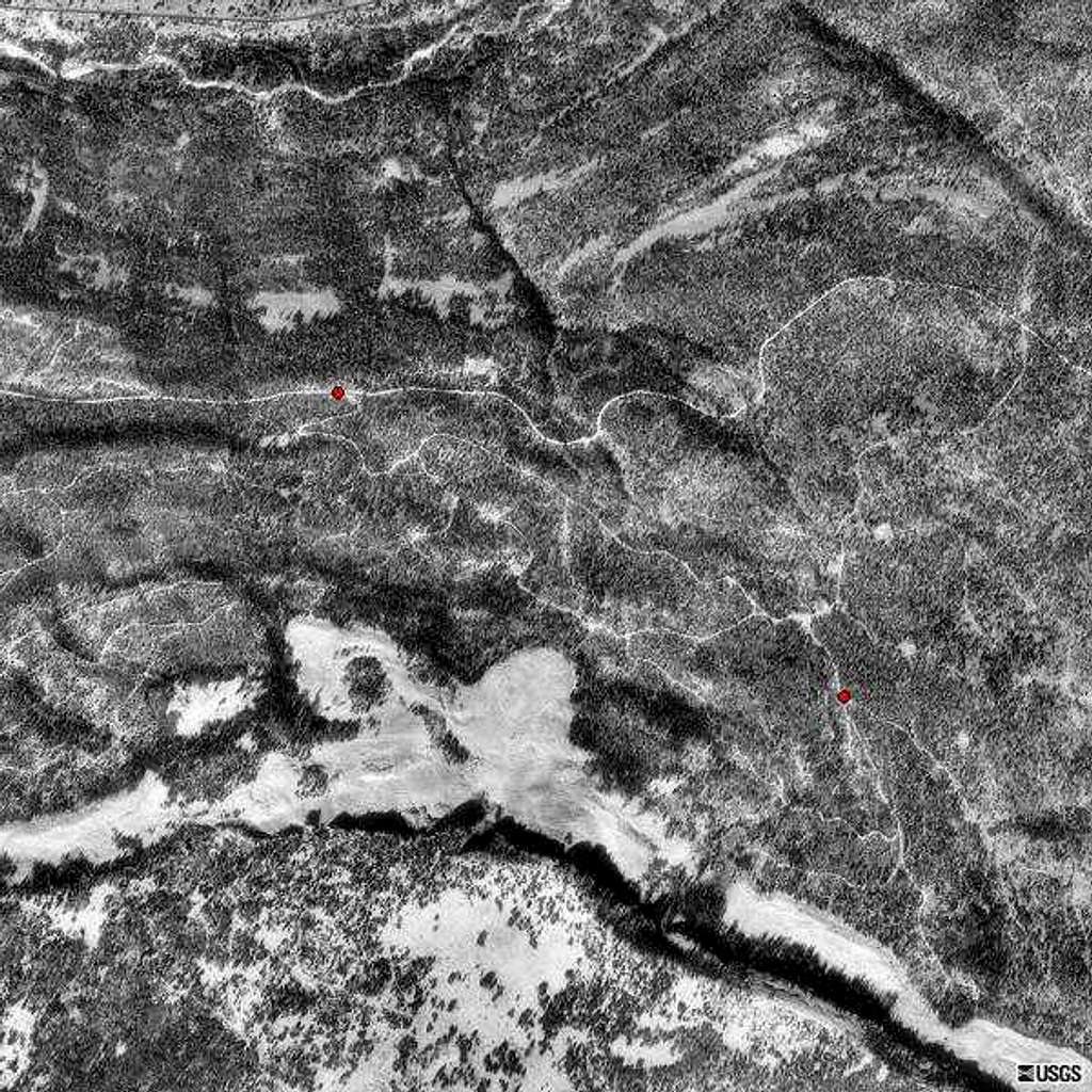
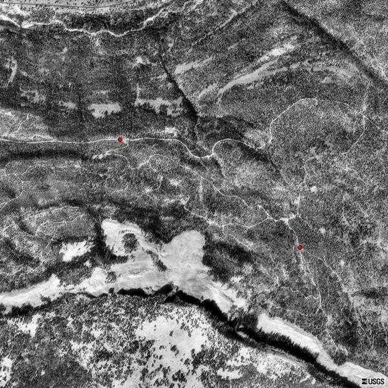
Aerial view of the maze of...
Aerial view of the maze of unmapped abandoned logging roads and ATV trails surrounding Iron Mine Mtn.
Hwy 50 is barely visible along the N edge of the image. The only other legal road, North Iron Mountain jeep road, transsects the upper third of the image East to West.
The recommended ski route from North Bench to the East ridge is marked with red dots.


