Toggle navigation
Mountains
Routes
Images
Trip Reports
Forum
What's New
People
Areas & Ranges
Articles
Trailheads
Canyons
Huts & Campgrounds
Albums
Logistical Centers
Fact Sheets
Lists
Custom Objects
Gear
Plans & Partners
WELCOME TO SUMMITPOST
SIGN IN
REGISTER
From Rt. 219
Additional Parents
Image
Although you can reach the...
View High-Resolution Image
Although you can reach the...
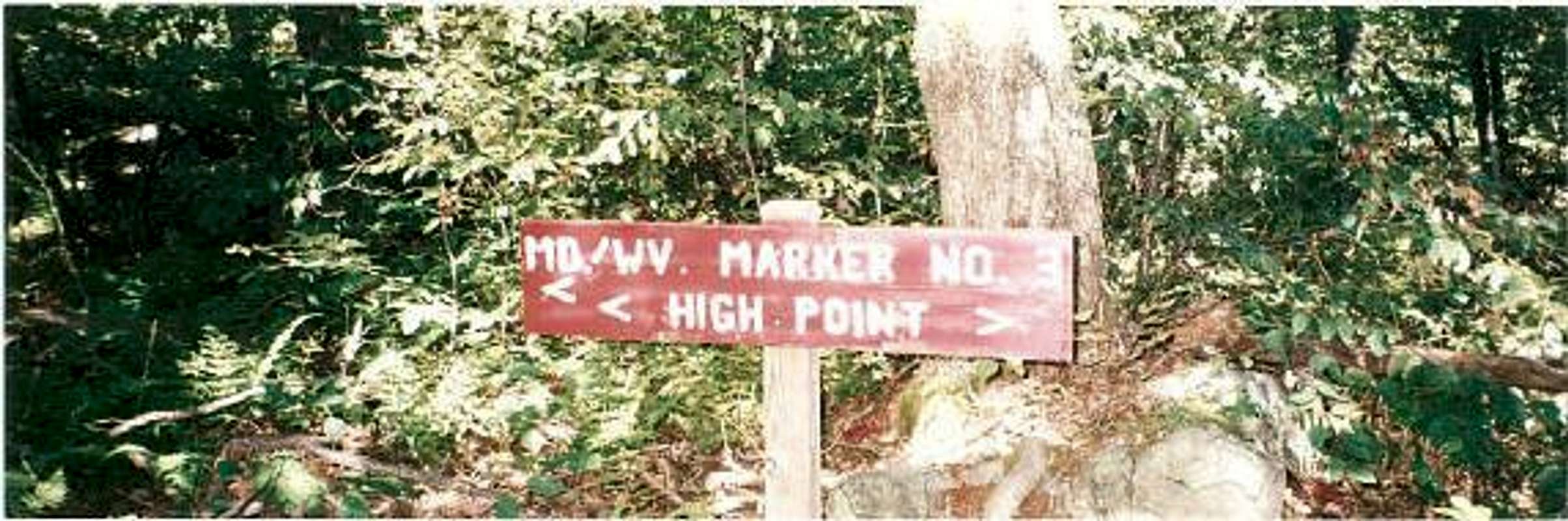
Although you can reach the highpoint both ways, please take a right at this sign, because it is a far more clear route to the top.
If you take a left, you will reach a rocky area, with the MD/WV state dividing marker.
« PREV
NEXT »
hgrapid
on
May 19, 2004 2:15 pm
Comments & voting
Other parents
Lat/Lon:
39.24500°N / 79.492°W
Image ID:
53646
7447 Hits
72.51
% Score
8
Votes
Log in to vote
Comments
No comments posted yet.
to post!
Don't have an account?
From Rt. 219
(Route)
You are at
the First
Image
Viewing
#1 of 1
GALLERY
You are at
the Last
Image
hgrapid's Image Gallery
« PREV
Viewing
#1070 of 5309
GALLERY
NEXT »
Backbone Mountain
(Mountain/Rock)
Loading....
×
You need to login in order to vote!
User Name
Password
Remember me
Forgot your password?
Log me out when I close my browser.
Keep me logged in all the time.
sign in as a user
Don't have an account?
Register now for FREE
Rating available
Suggested routes for you
People who climb the same things as you
Comments Available
Create Albums
Register Here


