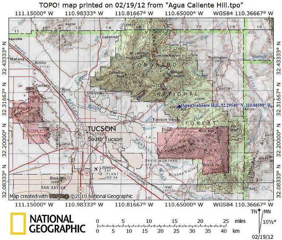
Agua Caliente hill is on the western edge of Tucson and relatively close to most residents and visitors of the area. Most visitors to this summit will access the peak via the Pima County trailhead providing access into Coronado National Forest.
Map designed February 2012


