-
 30898 Hits
-
 91.05% Score
-
 34 Votes
|
|
Area/Range |
|---|---|
|
|
45.91660°N / 114.3919°W |
|
|
Hiking, Mountaineering, Trad Climbing, Sport Climbing, Toprope, Bouldering, Ice Climbing, Aid Climbing, Big Wall, Mixed, Scrambling, Canyoneering, Skiing |
|
|
Spring, Summer, Fall, Winter |
|
|
The Bitterroot Range
The Bitterroot Range is Montana’s largest mountain range, forming almost the entire Montana-Idaho border. The northern end of the range begins at the Cabinet Gorge and sweeps south then east for a total of about 450 miles before ending at Red Rock Pass.
Numerous subgroups make up the Bitterroot Range. Though there is some discrepancy as to which subgroups and subranges comprise the Bitterroot Range, most maps and books agree that from north to south, they are:
• the Bitterroot Mountains (from the Cabinet Gorge south to Lost Trail Pass) [includes the Couer d'Alene Mountains (near Coeur d'Alene southeast to the Ninemile valley), the St. Joe Mountains (southwest of Kellogg, Idaho)],
• the Beaverhead Mountains (from Lost Trail Pass south to Monida Pass), and
• the Centennial Mountains (from Monida Pass east to Red Rock Pass).
Lost Trail Pass is the dividing point for the watershed of the Bitterroot Range. From Lost Trail north, the flow is to the Pacific. To the south, the water eventually reaches the Gulf of Mexico.
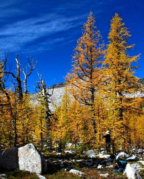
The northern section of the range from the Cabinet Gorge south to Lolo Pass, where most of the peaks are comparatively low (6,000’ – 7,000’) and heavily forested, is timber country. Many roads bisect this area and allow fairly easy access to the peaks.
Between their beginnings at Cabinet Gorge and Lolo Pass, some of the highest peaks are Rhodes Peak (7,930’), Quartz Benchmark (7,770’), and Illinois Peak (7,690’).
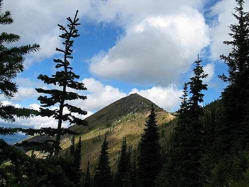
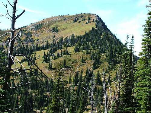
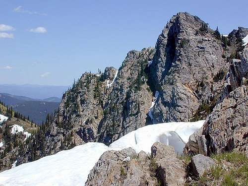
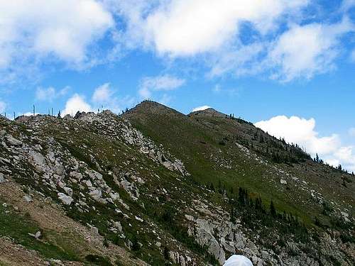
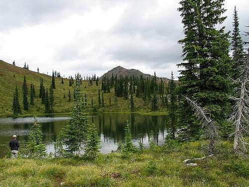
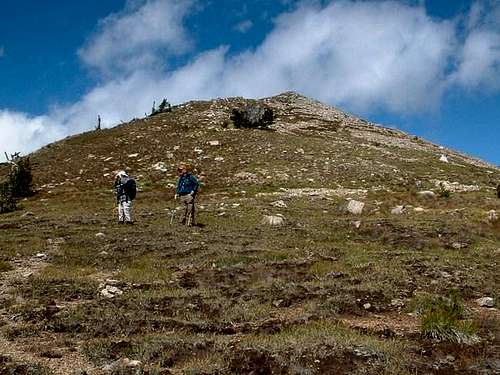
The most rugged summits in the range lie between Lolo Pass and Lost Trail Pass. This is the section of the range that most people associate with the Bitterroot Range. In fact, many mistakenly believe this section of mountains compose the entire Bitterroot Range. Some of the highpoints in these mountains which define the west side of the Bitterroot Valley are, Trapper Peak (10,157’), El Capitan (9,983’), The Shard (9,883’), and Boulder Peak (9,804’).
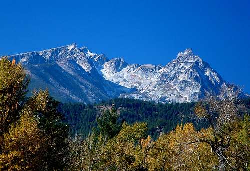
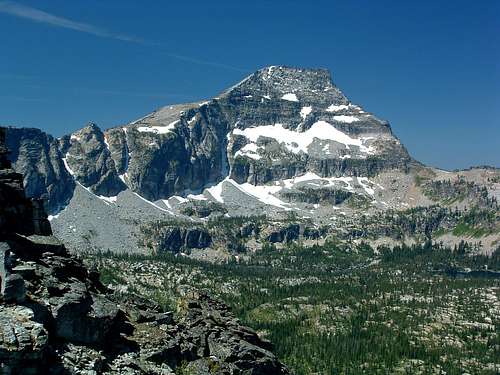
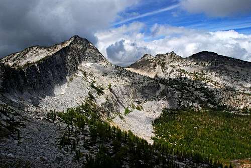
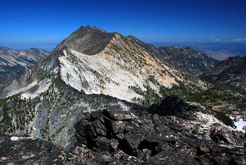
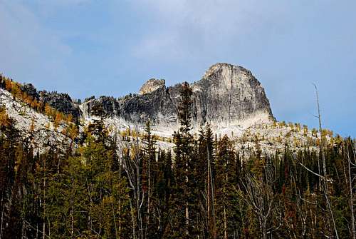
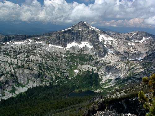
South of Lost Trail Pass, the Beaverheads generally appear more massive though less rugged than the peaks north of the pass. Several peaks reach over 11,000’ and many are over 10,000’. A few of the highest are Scott Peak (11,393’), Eighteenmile Peak (11,125’), and Cottonwood Mountain (11,024’).
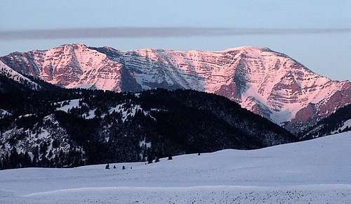
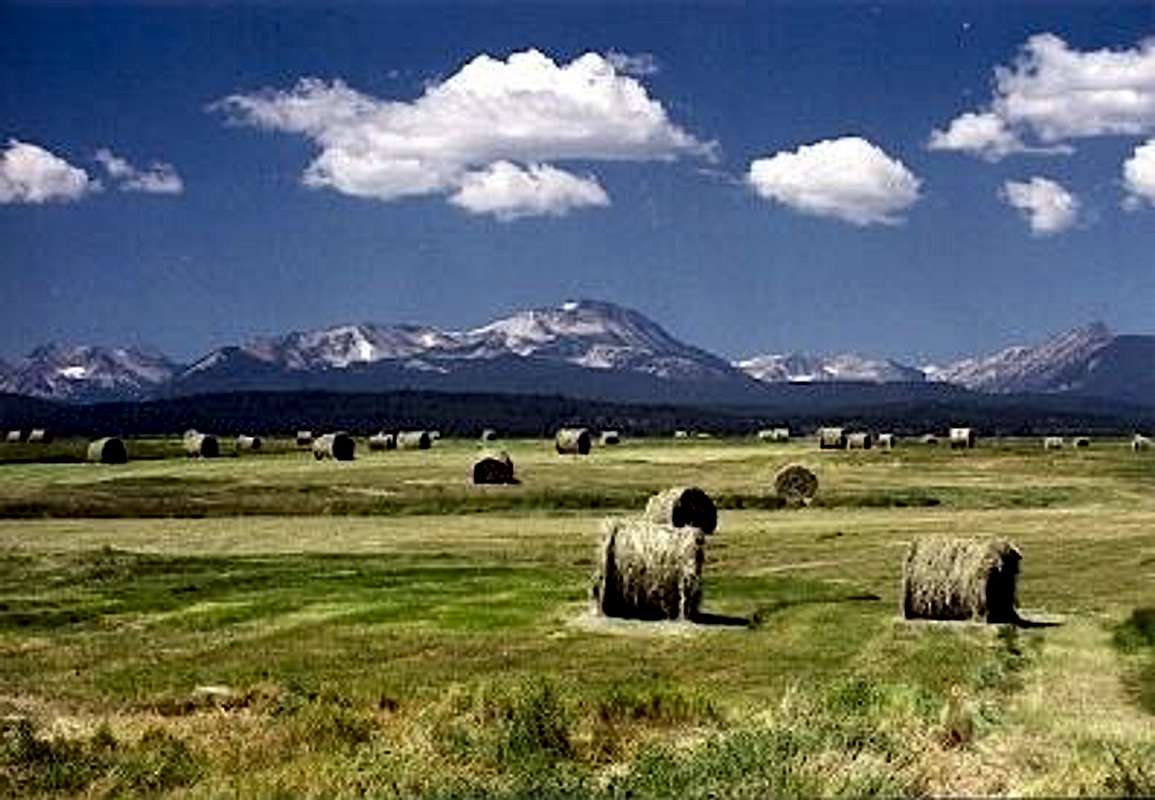
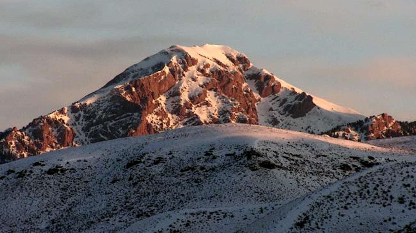
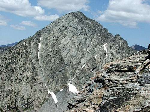
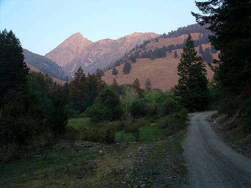

As the range turns toward the east at Monida Pass to form the Centennial Mountains, many of the peaks have summits over 9,000’. The highest points in this last section of the Bitterroot Mountain Range are Mount Jefferson (10,203’), Baldy Mountain (9,880’), and Sawtell Peak (9,866’).
Many thanks to the following SPers for the photographs used to illustrate this page. Brendon, Dean, Montanaboy, Moni, and IdahoSummits.


