

Viewing: 1-3 of 3

desainme - May 30, 2006 4:28 pm - Voted 10/10
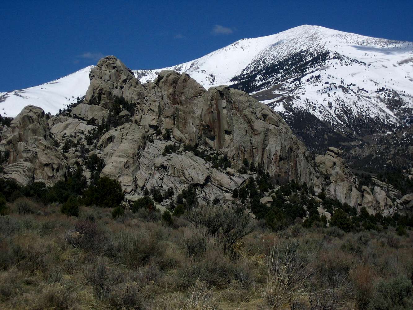
Castle RockJust a southern isolated spur of mt. Cache
Appears to be at 42.1248°N, 113.6710°W

SawtoothSean - May 30, 2006 4:56 pm - Hasn't voted
Re: Castle RockThe shot was taken with highest point on the ridge in the background, looking north from a spot near the BLM highpoint of the park while hiking. It appears according to the topo that Cache Peak should be easily visible from the Castle Rock Ranch? A comparison to this shot: http://www.summitpost.org/image/65533/152960/cache-peak.html
I see the spur ridge your referring to about .75 miles from the true summit and 900 feet lower. Regardless, thanks for looking at the shot.

Luddite - May 27, 2008 3:28 pm - Voted 10/10
From Castle Rock?I know you can climb it from all directions, but I was wondering if you had to cross private land to climb from Castle Rock?
Viewing: 1-3 of 3


Comments
Post a Comment