Castle Group Map

Castle Group Map

RED: Approach 1; Crystal Lake/Varve Lake from the south ORANGE: Approach 2; West Fork Rock Creek/Omega Pass/Varve Lake from the west PURPLE: Castle Mountain South Slopes Route (Class 2) LIGHT GREEN: Route to the saddle between Castle Rock Mountain and Point 12,540 (Class 2) DARK BLUE: Point 12,540 West Ridge Route (Class 4) LIGHT BLUE: Castle Mountain East Ridge Route (Class 2) PINK: Traverse from Castle Rock Mountain to Point 12,090 (Class 3) GREY: Traverse from Castle Rock Mountain to Darlene Mountain (Class 2)
Matt Lemke
on Aug 29, 2012 10:12 pm
Image Type(s): Topo/Diagram
Image ID: 810230

Comments

Post a Comment
Viewing: 1-1 of 1
freedeep

freedeep - Mar 24, 2020 10:48 am - Hasn't voted
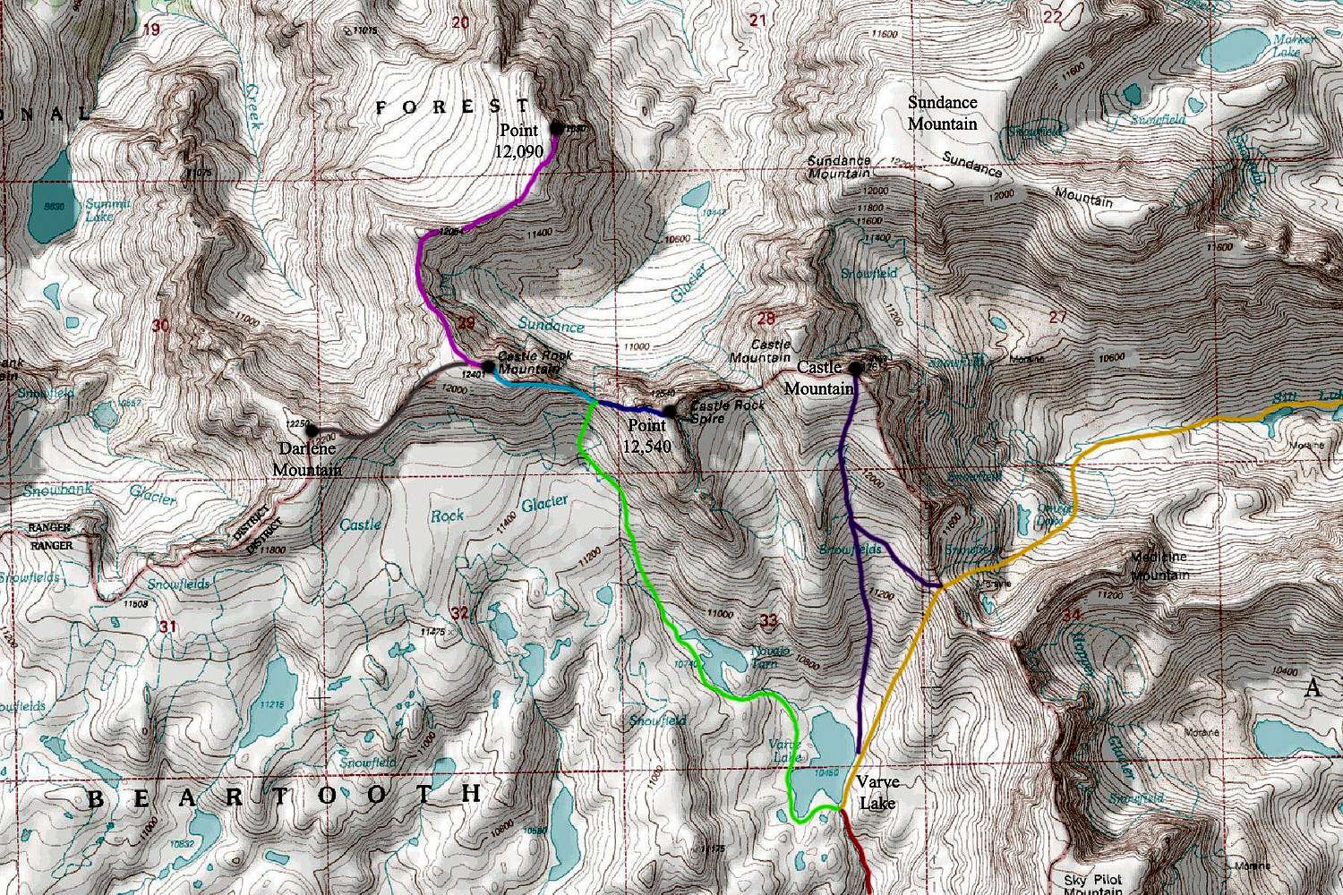
More fake names

It is easy to see that several unofficial text names have been added at a later date. In the photos attached to this mountain is a copy of the USGS top map for the Castle Mountain Quadrangle, no fake names.

Viewing: 1-1 of 1