
-
 4231 Hits
-
 73.84% Score
-
 7 Votes
|
|
Mountain/Rock |
|---|---|
|
|
19.61239°S / 65.68599°W |
|
|
Download GPX » View Route on Map |
|
|
Hiking, Mountaineering |
|
|
Winter |
|
|
16437 ft / 5010 m |
|
|
Overview
The Cerros Kari Kari are located few kilometers southest of Potosi opposite to famous Cerro Rico. It is a pristine region with several mountains above 5000 meters sea-level adorned with some beautiful lakes and many animals like llamas and alpacas. The complete range can be traversed on a long day.Getting There
If you don't have an own car take a taxi in Potosi to Laguna San Sebastian to a bifurcation with a ruin (GPS coordinates: S19.60861 W65.73467) at 4314 meters sea-level. Follow the main road to Tupiza and turn left to the dirt road on the waypoint S19.61998 W65.73657. A bumpy and steep street leads to the bifurcation with the ruin on the western shore of Laguna San Sebastian.Route
Hike the dirt road on the southern shore of Laguna San Sebastion and follow the flat valley until a height of 4400 meters sea-level is achieved.
In the valley with Cerro Rico and Laguna San Sebastian. The white dot on the right is our motor-home.
Turn northeast, gain the ridge and follow it to the first summit Cerro Kari Kari Oeste (GPS coordinates: S19.61049 W65.69785).
Summit of Cerro Kari Kari Oeste (4856 meters sea-level) with Cerro Rico in the background

City of Potosi and Laguna San Pablo
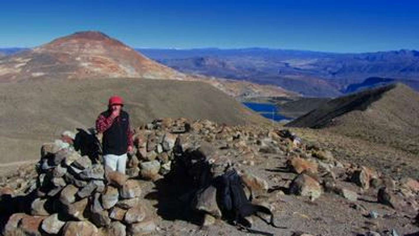
Follow the ridge to the gap between the western and central peak. A rocky wall on the way up to the central peak can be bypassed on the left (northern) side into a narrow gully. Climb up the gully back to the ridge, follow it without any problems to the central peak Cerro Kari Kari Central, 5010 meters sea-level.

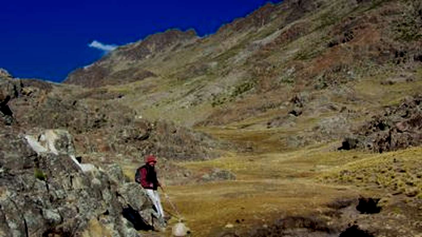
In the steep and narrow gully

Summit of Cerro Kari Kari Central

View to the South
Descend on the eastern side to a col and hike few meters up to the third summit Cerro Kari Kari Este, 4965 meters high (GPS coordinates: S19 36.749 W65 40.905). Few meters east of the top turn right and walk down into the northern valley. Follow the valley till the large Laguna San Pablo and pass it on the right, southern side. A narrow path along an aqueduct leads back to Laguna San Sebastian and the starting point. It is possible to hike directly from Laguna San Pablo to the main street to Potosi.
In the valley with Cerro Kari Kari Central
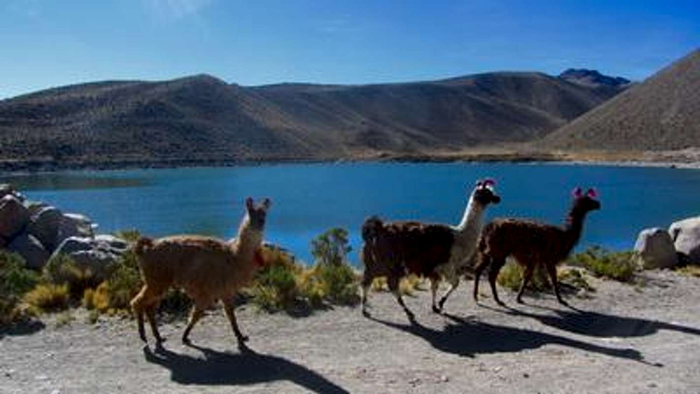
Laguna San Pablo with Llamas