-
 10427 Hits
-
 83.1% Score
-
 16 Votes
|
|
Mountain/Rock |
|---|---|
|
|
45.91650°N / 7.57782°E |
|
|
Aosta valley |
|
|
11444 ft / 3488 m |
|
|
Overview
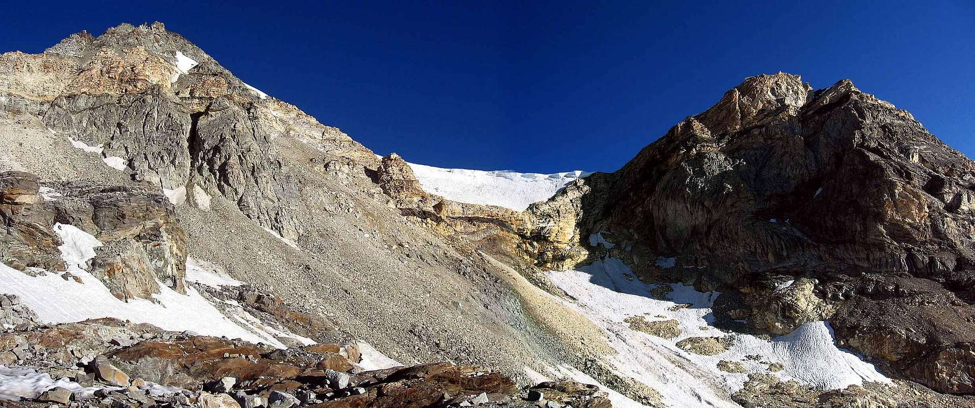
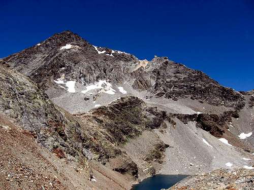
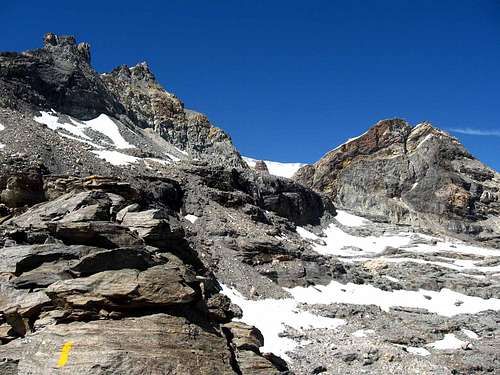
"Castle of the ladies", which in French is Chàteau des Dames, is a mountain totally in Italian territory; Aosta Valley. It's is a pyramid with 4 ridges, and placed on the long ridge that divides from north to south the Valpelline from the Valtournenche. This mountain is composed mostly of bad rocks, and it hasn't real climb routes; but it is a good position for a view to the major mountain as Matterhorn and Monte Rosa Group.
"Castle of the ladies ", che in francese è Chàteau des Dames, è una montagna totalmente in territorio italiano, la Valle d'Aosta. È una bella piramide a 4 creste, posta sulla lunga dorsale che divide da nord a sud la Valpelline dalla Valtournenche. Questa montagna è composta principalmente da rocce non buone e non ha veri e propri percorsi di arrampicata; ma è una buona posizione per una vista sulle principali montagne come il Cervino e il Gruppo del Monte Rosa.
Getting there
Routes and History
Accomodation
Campings
Remember that free camping is forbidden (except for emergency reasons, over 2.500m, from darkness until dawn).
Mountain Conditions
- You can get meteo information at the official site of the Regione Valle d'Aosta:
- Valle d'Aosta Meteo
Webcam
- WEBCAM on Aosta Valley:
- Webcam
Books and Maps
BOOKS:
- "Guida dei Monti d'Italia - Alpi Pennine (Vol. 2)" di Gino Buscaini - Club Alpino Italiano/Turing Club Italiano, Luglio 1970 (In Italian).
- "Diari Alpinistici" di Osvaldo Cardellina e Indice Generale accompagnato da Schedario Relazioni Ascensioni 1964-2019 (inediti).
- "Guida delle Alpi Occidentali" di Giovanni Bobba e Luigi Vaccarone C.A.I. Sezione di Torino Volume II (parte II), 25 Maggio 1896.
- "Rifugi e bivacchi in Valle d'Aosta", di Cosimo Zappelli aggiornata da Pietro Giglio, Musumeci Editore, Luglio 2002.
- "I Rifugi della Valle d'Aosta" di Stefano Ardito, Ed. Guide iter, Febbraio 2003.
MAPS:
- Kompass "Breuil/Cervinia-Zermatt" Carta turistica 1:50.000.
- I.G.C. Istituto Geografico Centrale "La Valpelline Valle di Ollomont Valle di Saint Barthélemy" (carta n° 115) Map1:30.000.
- Studio F.M.B. "Cervino Monte Rosa" Bologna 1:50.000.
- L'Escursionista "Valpelline-Saint Barthélemy” Carta dei sentieri (n° 6) 1:25.000.
Important Information
- REGIONE AUTONOMA VALLE D'AOSTA the official site.
- FONDAZIONE MONTAGNA SICURA Villa Cameron, località Villard de la Palud n° 1 Courmayeur (AO) Tel: 39 0165 897602 - Fax: 39 0165 897647.
- SOCIETA' DELLE GUIDE DELLA VALPELLINE Etroubles-Strada Nazionale, n° 13 - Tel +39 0165 78559 - Valpelline-Loc Capoluogo, n° 1 - Tel +39 0165 713502.
- SOCIETA' DELLE GUIDE DEL CERVINO Via Jean Antoine Carrel, n° 10 - 11021 Breuil Cervinia - Valtournenche (AO) - Italia.
- A.I.NE.VA. (Associazione Interregionale Neve e Valanghe).
Useful numbers
- Protezione Civile Valdostana località Aeroporto n° 7/A Saint Christophe (Ao) Tel. 0165-238222.
- Bollettino Meteo (weather info) Tel. 0165-44113.
- Unità Operativa di Soccorso Sanitario Tel. 118.


