-
 37781 Hits
-
 87.31% Score
-
 24 Votes
|
|
Mountain/Rock |
|---|---|
|
|
45.81420°N / 6.79540°E |
|
|
12050 ft / 3673 m |
|
|
Overview
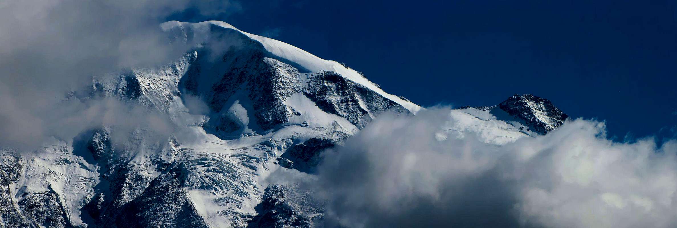
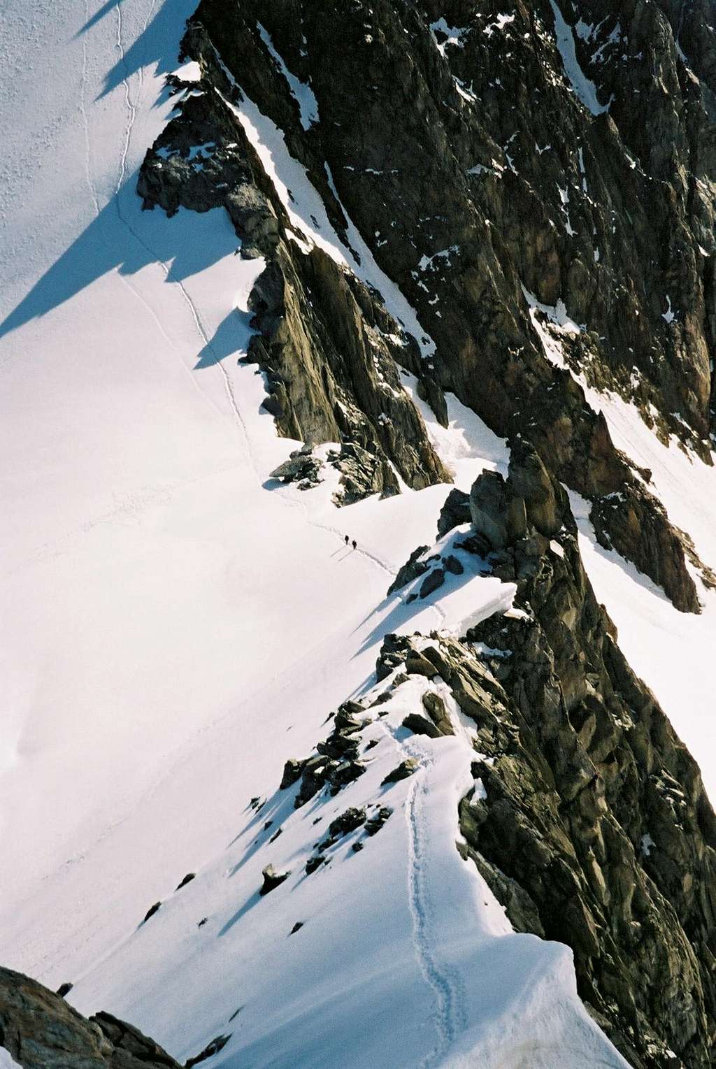
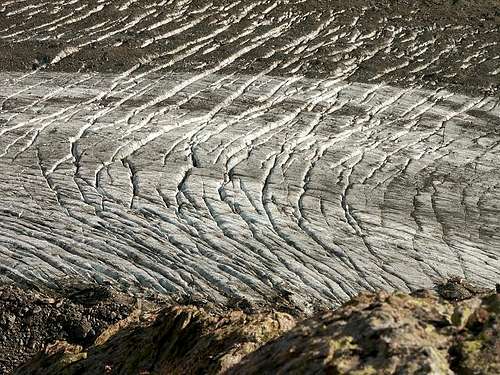
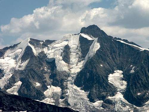
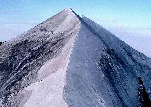
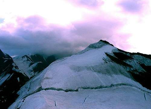
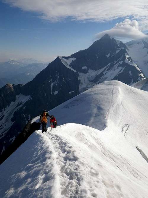
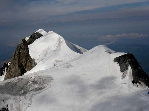
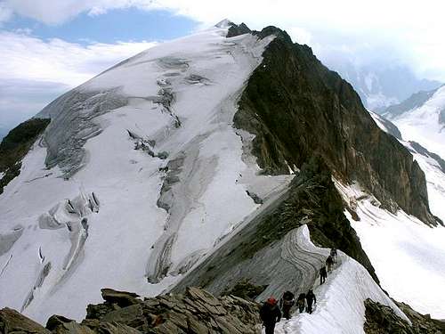
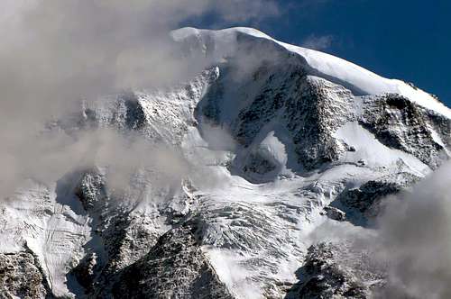
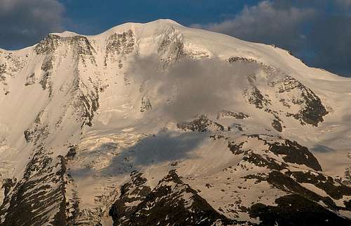
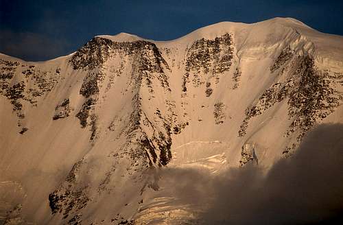
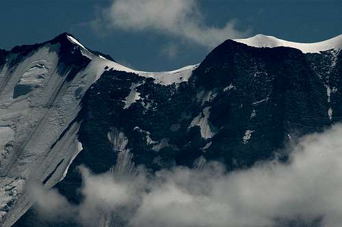
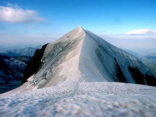
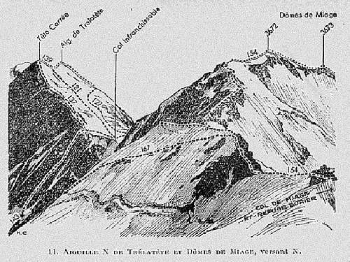
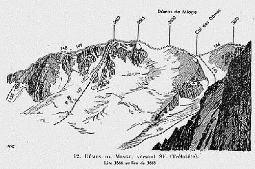
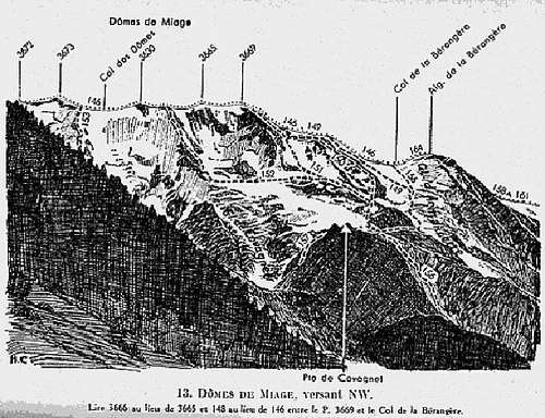
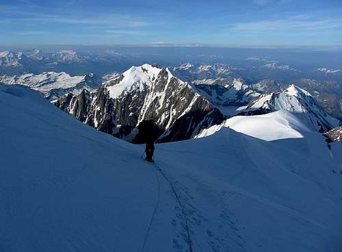
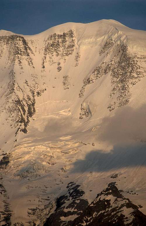
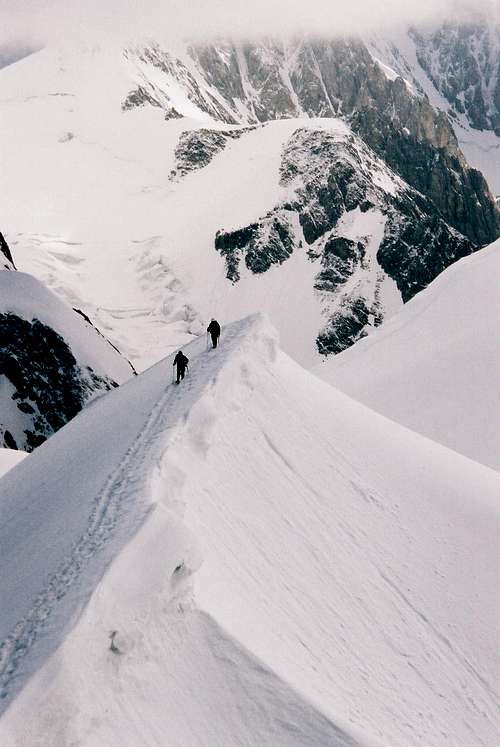
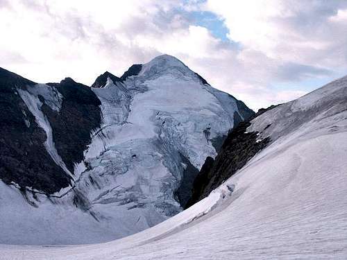
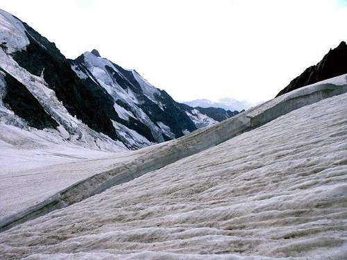
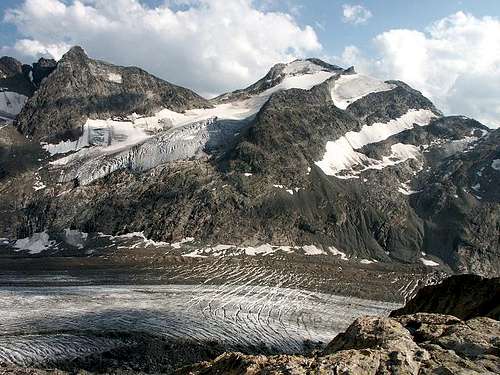
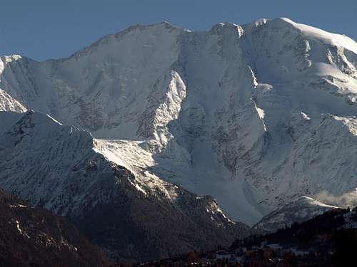
The long snow-covered ridge of the Dômes de Miage is one of the most beautiful ridges of the Massif du Mont Blanc with the Arête Kuffner at the Mont Maudit and the Arêtes de Rochefort, and the less difficult.. This doesn't mean easy to climb : the glacier of Tré la Tête is crevassed and the ridges can be icy. The most covered route is the traverse over the ridges (description lover). This route doesn't reach the principal summit : the Oriental summit on the other side of the Col des Dômes is 3 meters higher as the Occidental summit. The whole Dômes crest spreads over 3 km from the Col de la Bérangère in the west to the point 3.580 meters where the ridges of the Dômes de Miage meet the ridges of Durier and the ridges of Tré la Tête with the Col des Dômes (3.564 meters) in the middle.
Different summits:
In the east of the Col des Dômes:
- 1) Principal East Dôme (3.673m).
- 2) Second East Dôme (3.672m).
In the west of the Col des Dômes:
- 1) First Dôme.
- 2) Central Dôme (3.633m), the pearl of the crest, esthetically perfect.
- 3) Occidental Dôme (3.670m), the highest point reached by the usual crossing over.
Traduzione in Italiano come da testo Huberschwiller
La lunga cresta innevata delle Dômes de Miage è una delle creste più belle del Massiccio del Monte Bianco con l'Arête Kuffner al Mont Maudit e le Arêtes de Rochefort, e la meno difficile. Ciò non significa che sia facile da scalare: il ghiacciaio di Tré la Tête è crepacciato e le creste possono essere ghiacciate. La via più coperta è la traversata sulle creste (descrizione amante). Questa via non raggiunge la cima principale: la cima Orientale dall'altro lato del Col des Dômes è 3 metri più alta della cima Occidentale. L'intera cresta dei Dômes si estende per 3 km dal Col de la Bérangère a ovest fino al punto 3.580 metri dove le creste dei Dômes de Miage incontrano le creste del Durier e le creste del Tré la Tête con il Col des Dômes (3.564 metri) al centro.
Diverse cime:
A Est del Col des Dômes:
- 1) Dôme Principale (3.673 m).
- 2) Secondo Dôme (3.672 m).
A Ovest del Col des Dômes:
- 1) Primo Dôme
- 2) Dôme Centrale (3.633 m), la perla della cresta, esteticamente perfetta.
- 3) Dôme Occidentale (3.670 m), il punto più alto raggiunto dalla traversata abituale.
Climbing History
- First ascent: E.T. Coleman with F. Mollard and J. Jacquemont, 2 september 1858.
- In winter: Unknown
- Arête Métrier: Paul Clément and André Giraud 22 june 1968.
Descant with skis:
- N-E Couloir: Jacky Bessat le 10 august 1973.
- S Couloir: Daniel Chauchefoin january 1976.
- N Couloir: Jacky Bessat 8 september 1972.
Getting there
By air: International airports:
* Geneva
Tel. 00 41 22 799 31 11 - Fax: 799 31 40
France exit at the airport Tel. 00 41 22 798 20 00
* Lyon Saint-Exupéry Tel. 00 33 4 72 22 72 21
Regular coach services: Tel: 00 33 4 72 35 94 96
* Annecy Haute Savoie Airport Tel. 00 33 4 50 27 30 06 Transfers: Taxi to the SNCF railway station
Chambéry Airport Tel. 00 33 4 79 54 46 00 Transfers: Taxi to the coach station or SNCF railway station
- Nearest station: St Gervais les Bains - Le Fayet station 12 km (7.5 miles).
DIRECT TGV (high speed train) SERVICE, PARIS/SAINT GERVAIS at weekends
Direct trains to Paris - Lyon - Nice - Marseille, etc.
Connections for TGV service in Annecy - Aix-les-Bains - Bellegarde
For more information: www.sncf.fr
Direct line to SNCF railways: 00 33 8 92 35 35 35
Pick up services at the station: Taxi Besson: 8-seater minibus and 6-seater minivans by prior arrangement: Tel. 00 33 4 50 93 61 47 - Fax: 00 33 4 50 78 07 67
SAT bus services 74190 PASSY Tel. 04 50 78 05 33 - Fax: 04 50 78 07 62
For more information: www.sat-leman.com
Start point: Les Contamines, 9 km over Saint Gervais (D 902).
- From Chamonix: take E 25 (N 205) direction Les Houches, exit Le Fayet to Saint Gervais.
- From Paris: A6 then A40 autoroute to Mâcon Nord, then towards Geneva, then Autoroute Blanche to the Passy exit (12 km/7.5 miles from the resort).
- From Lyon: A42 Lyon-Pont d'Ain then A40 Mâcon-Geneva. A43 Lyon - Chambéry - Annecy - Le Fayet.
- From the south of France: Marseille - Lyon A7 or Marseille - Valence A7, then Valence - Grenoble and A41 Grenoble - Passy A40.
Red tape
Parking free at Notre Dame de Gorge or at Le Cugnon. A large part of the route crosses the Natural Reserve of Les Contamines. Created in 1979, the les Contamines Montjoie Nature Reserve covers a surface area of 5.500 hectares from an altitude of 1.000 to 3.890 meters. This wide altitude range reveals the presence of a mixed fauna : ibec, chamoix, royal eagle and typical flora : spring gentiane, ferruginous rhododendron...
Parcheggio gratuito a Notre Dame de Gorge o a Le Cugnon. Gran parte del percorso attraversa la Riserva Naturale di Les Contamines. Creata nel 1979, la Riserva Naturale di Les Contamines Montjoie copre una superficie di 5.500 ettari da un'altitudine di 1.000 a 3.890 metri. Questa ampia escursione altitudinale rivela la presenza di una fauna mista: stambecco, camoscio, aquila reale e una flora tipica: genziana primaverile, rododendro ferruginoso...
Other mountains of the Tré la Tête Massif
- Mont Tondu (3.196m) with Pain de Sucre and Pyramide Chaplan
- Aiguille des Lanchettes (3.073m)
- Pointe des Lanchettes (3.085m)
- Dôme de Neige (3.592m)
- Aiguille des Glaciers (3.816m)
- Aiguille de la Lée Blanche (3.697m)
- Aiguilles de Tré la Tête (3.930m)
- Tête Carrée (3.732m)
When to climb
From June to September.
Da giugno a settembre.
Books
- "Guida Vallot Monte Bianco (1)" Edizioni Mediterranee, ristampa 2003 - V. Flaminia, n°109, 00196 Roma.
- "neige, glace et mixte le topo du massif du Mont-Blanc" Tome 2 Francois Damilano JMEditions.
- "i 4000 delle Alpi" Richard Goedeke, Collana GUIDE DELLA MONTAGNA diretta da Stefano Ardito, Edizioni Iter (Subiaco Roma), marzo 2003.
- "Guida dei Monti d'Italia-Monte Bianco" (Vol. I°) di Gino Buscaini-Club Alpino Italiano/Turing Club Italiano, 1994 (in Italian).
- "Monte Bianco Monte Rosa e Alpi Pennine" Le Nuove Guide Monti-Club Alpino Italiano/Turing Club Italiano, Maggio 2007 (In Italian).
Maps
Mountain Conditions
- Météo in Chamonix: 0033/836680274.
- Snowinfos: 0033/836 681 020 (only in France, not from abroad).
- Internet: Météo France
Huts
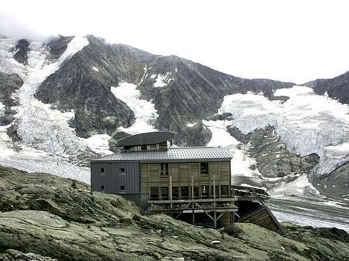
- Durier Refuge (3.358m). Tél. 33 (0)4 09 42 49 74. Open end June to mid September. Places: 24 - Reservation: Obligatory.
- Refuge de Plan Glacier (2.730m). Open end June to mid September. Places: 18 - Reservation: Obligatory.
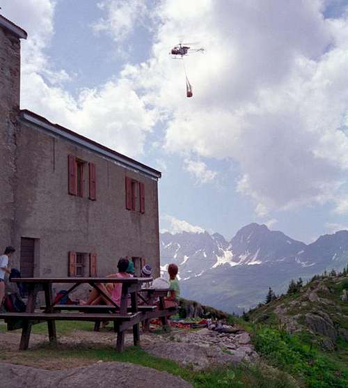
- Refuge des Conscrits (2.580m). Open mid June to mid September. Tel: 33 (0)4 79 89 09 03. Places: 84 Reservation: Obligatory.
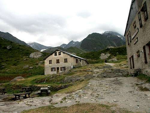
- Refuge de Tré-la-Tête (1.970m) Spring - summer - 2 1/2 hrs from Les Contamines Tel: +33 4 50 47 01 68 - 75 beds, 60 in dormitory and 15 in rooms.
- Refuge Robert Blanc (2.750m). Tél. Refuge: +33 (0)4 79 07 24 22 Tél. Gardiens: +33(0)7 67 07 49 91. Places: 40. Le refuge d’hiver comprend 6 matelas, des couvertures et des ustensiles de cuisine pour 6 personnes.
Important Information
- Office de Haute Montagne/Chamonix:
0033450 532 208 (9:00-12:00 & 15:00-18:00 during the summer). - Bureau des Guides in Chamonix: 0033/450530088.
- Office de Tourisme in Chamonix: 0033/450530024.
- Office de Tourisme Argentière: 0033/450540214.
- internet:
- www.chamonix.com
- www.courmayeur-montblanc.com
Church of Notre Dame de la Gorge
"An extremely ancient place of pilgrimage with a curious Baroque-style oratory, covered with Renaissance frescoes and gilt, in the purest tradition of Savoie's religious heritage..." wrote Roger Frison Roche in Mont Blanc aux sept Vallées. The adorable Church of Notre-Dame de la Gorge, a neat white chapel with a painted facade where many a young lady has dreamed of being wed, marks the end of the road and the start of the mountain trails to the Dômes de Miage.
"Un luogo di pellegrinaggio estremamente antico con un curioso oratorio in stile barocco, ricoperto di affreschi rinascimentali e dorature, nella più pura tradizione del patrimonio religioso della Savoia..." scrisse Roger Frison Roche in Mont Blanc aux sept Vallées.vL'adorabile chiesa di Notre-Dame de la Gorge, una graziosa cappella bianca con una facciata dipinta dove molte giovani donne hanno sognato di sposarsi, segna la fine della strada e l'inizio dei sentieri di montagna per le Dômes de Miage.
External Links
- Aiguille de la Bérangère
Summitpost page of Aiguille de la Bérangère.





Probemeister - Nov 25, 2005 3:13 pm - Hasn't voted
Untitled CommentIn normal conditions this route is never harder than PD. Compared to the midi-plan, cosmiques arete or NW ridge of the mittaghorn in the valais this is lots easier. However, it is a long course requiring good fitness, and, most importantly it is very beautiful