Toggle navigation
Mountains
Routes
Images
Trip Reports
Forum
What's New
People
Areas & Ranges
Articles
Trailheads
Canyons
Huts & Campgrounds
Albums
Logistical Centers
Fact Sheets
Lists
Custom Objects
Gear
Plans & Partners
WELCOME TO SUMMITPOST
SIGN IN
REGISTER
Uinta Mountains
Additional Parents
Image
Explorer Peak (left) and...
View High-Resolution Image
Explorer Peak (left) and...
Explorer Peak (left) and Squaw Peak (right) viewed from on top of Dead Horse Pass. (pass between Rock Creek Drainage and West Fork of the Blacks Fork Drainage). July 20, 2005
« PREV
NEXT »
bighornhunter
on
Nov 28, 2005 6:50 pm
Comments & voting
Other parents
Lat/Lon:
40.71830°N / 110.6443°W
Image ID:
138591
9498 Hits
84.08
% Score
18
Votes
Log in to vote
Comments
Post a Comment
Viewing: 1-1 of 1
fastpony
-
Mar 23, 2007 5:15 pm - Voted 10/10
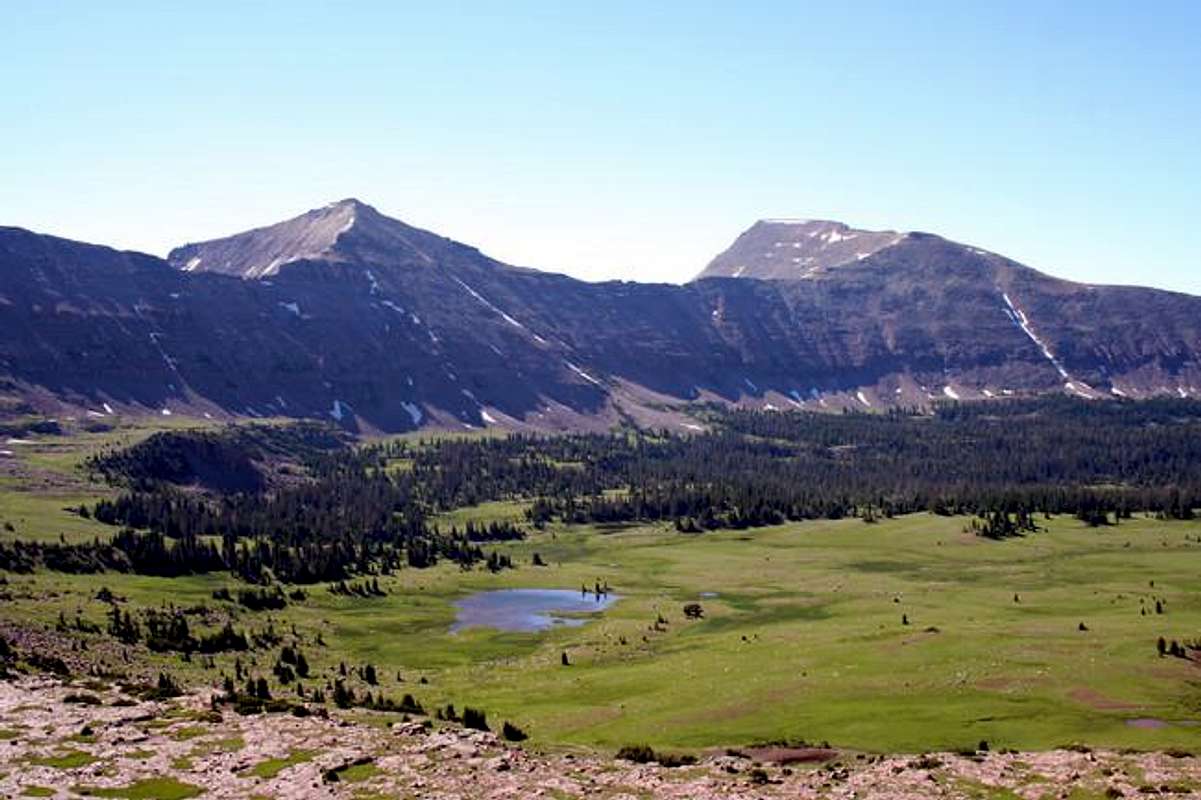
Alpine Tundra
Nice open green meadows.....vast open space!
Viewing: 1-1 of 1
to post!
Don't have an account?
Uinta Mountains
(Area/Range)
« PREV
Viewing
#27 of 207
GALLERY
NEXT »
bighornhunter's Image Gallery
« PREV
Viewing
#3 of 27
GALLERY
NEXT »
High Uintas Wilderness
(Area/Range)
Loading....
Explorer Peak
(Mountain/Rock)
Loading....
"Dead Horse Peak"
(Mountain/Rock)
Loading....
Hayden Pass, Rocky Sea Pass, West Face
(Route)
Loading....
×
You need to login in order to vote!
User Name
Password
Remember me
Forgot your password?
Log me out when I close my browser.
Keep me logged in all the time.
sign in as a user
Don't have an account?
Register now for FREE
Rating available
Suggested routes for you
People who climb the same things as you
Comments Available
Create Albums
Register Here
Comments
Post a Comment