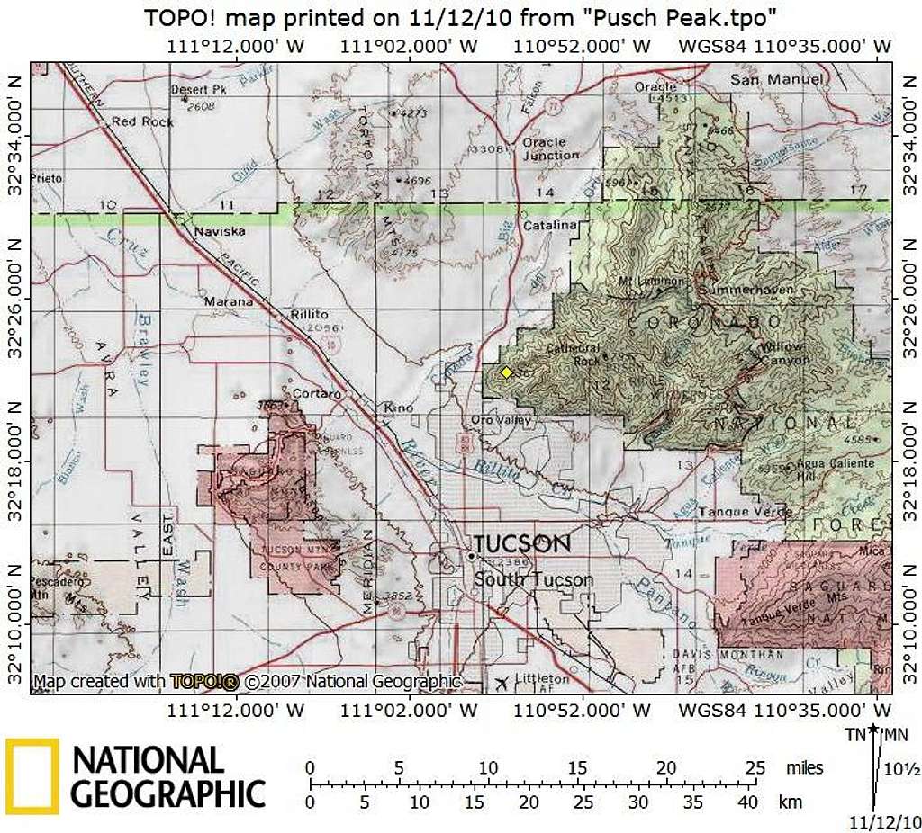
Pusch Peak sits in Pima County, Arizona, in the northern suburbs of Tucson. It is an incredibly accessible peak, sitting only about 3 miles as the crow flies from the intersection of AZ Hwy 77 and Ina Road. The nearest interstate is I-10. This peak can be reached by passenger car on paved roads.
Map designed November 2010
