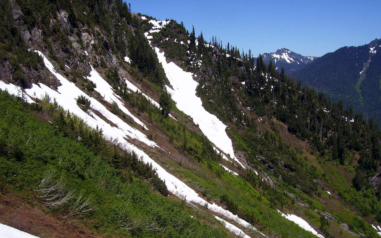
Here is a view of our "descent gully", taken from near the base of our "ascent gully". Our day would have been much simpler if we had used this gully for the ascent. The idea is to turn right into this gully after completing the "brush bash" that starts at the west end of the Big Four ice caves area. In early season, it may be possible to follow this snow finger all the way to the top of the gully. Otherwise, plan to exit the gully on the right hand side (around 3600' to 3800' - sorry, forgot to mark with GPS), and parallel the gully to its apex. From this point, easy climbing will bring you to the top of the ridge trending south from Hall's summit. Some of the flagging we saw suggested that at least one party had followed the crest of the timbered ridge from the far right edge of the picture.


