Junction with the normal route high on the east ridge of the Breitspitze
Apart from the normal route, a normal hiking trail in the mountains, there are several other, smaller trails on the Breitspitze east ridge. We came up the normal way, going down we decided to take a different one.
The normal route makes its way up the broad east ridge from the north. The ridge is undulating, with lots of false summits. For the last kilometer, the normal route follows the ridge, sometimes along the crest, sometimes a bit more north. On our way back from the summit, after a few hundred meters we came upon a junction. Both trails went east, but the leftmost one kept slightly more to the north and the other slightly more to the south. Left was the normal route, but there was a signpost, and my map showed the junction, so we knew where it would lead. Although it would be a bit longer, it would also give us the opportunity to see more of the area. And we had plenty of time.
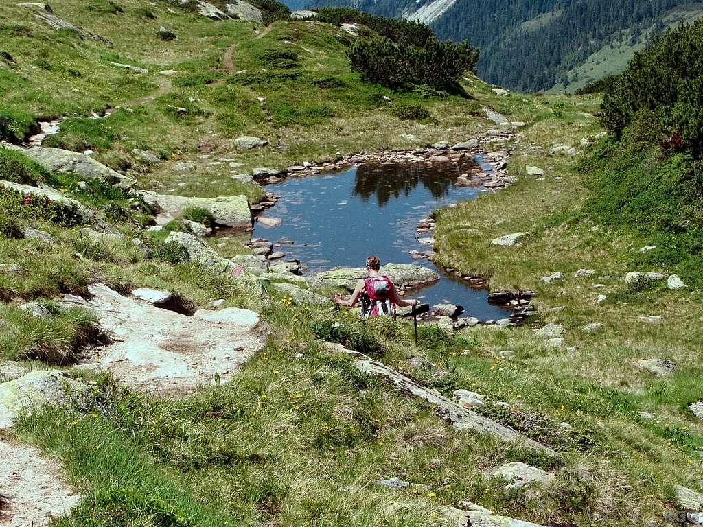
One kilometer east of the summit, the two trails came pretty close again. The normal route was just north of the ridge now, while the other one crossed the crest from south to north. We recognized the pond that we had passed on the way up.
Jannie decided she had done enough for the day and wasn't interested in a detour. The fact that we had already been hiking and climbing together for more than a week by now, including a couple of long and tiring days, probably had something to do with that. Paul, Wilco and I were still interested in what the other route might bring us. It would be downhill, so it wouldn't be tiring anymore anyway.
26 July 2013.
