Toggle navigation
Mountains
Routes
Images
Trip Reports
Forum
What's New
People
Areas & Ranges
Articles
Trailheads
Canyons
Huts & Campgrounds
Albums
Logistical Centers
Fact Sheets
Lists
Custom Objects
Gear
Plans & Partners
WELCOME TO SUMMITPOST
SIGN IN
REGISTER
Mount Adams
Additional Parents
Image
Looking back down towards the...
View High-Resolution Image
Looking back down towards the...
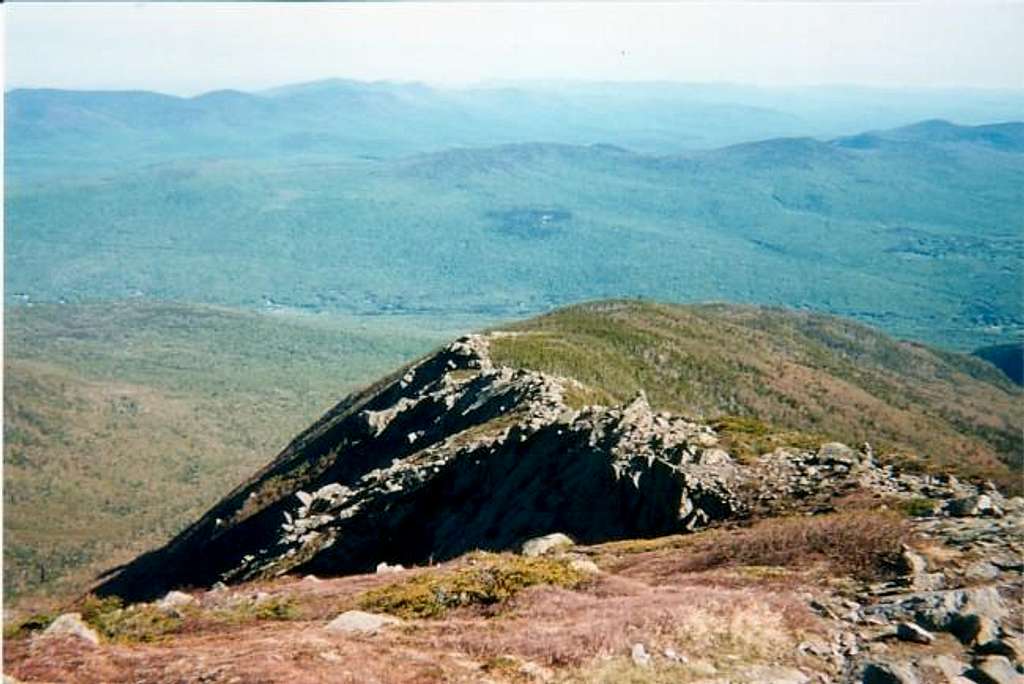
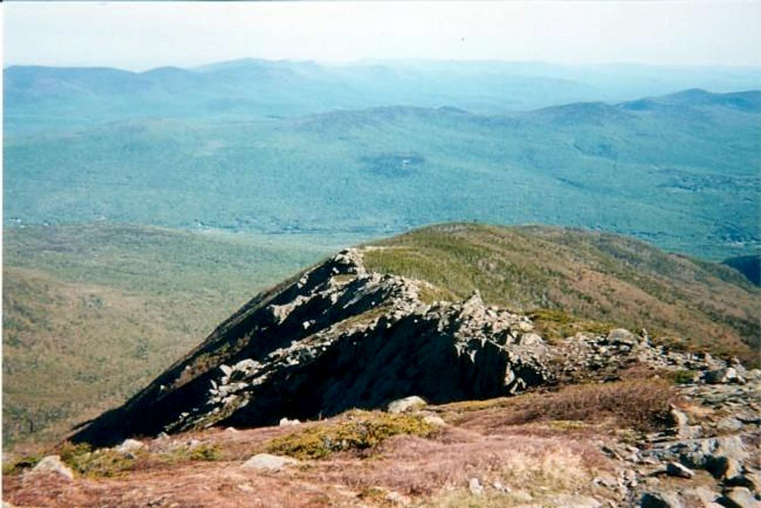
Looking back down towards the "Knife Edge" part of the Airline Trail, still a good distance from the summit, June 8, 2002.
« PREV
NEXT »
koz
on
Jun 10, 2002 11:27 am
Comments & voting
Other parents
Lat/Lon:
44.32000°N / 71.291°W
Image ID:
7604
2560 Hits
73.43
% Score
4
Votes
Log in to vote
Comments
No comments posted yet.
to post!
Don't have an account?
Mount Adams
(Mountain/Rock)
You are at
the First
Image
Viewing
#1 of 1
GALLERY
You are at
the Last
Image
koz's Image Gallery
« PREV
Viewing
#11 of 34
GALLERY
NEXT »
×
You need to login in order to vote!
User Name
Password
Remember me
Forgot your password?
Log me out when I close my browser.
Keep me logged in all the time.
sign in as a user
Don't have an account?
Register now for FREE
Rating available
Suggested routes for you
People who climb the same things as you
Comments Available
Create Albums
Register Here


