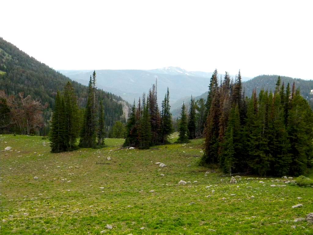
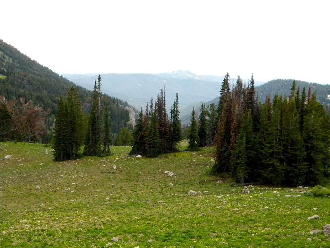
Looking Down Targhee Creek
The Targhee Creek trailhead is six miles down this basin. At this point, the trail loops to the southwest for a couple miles, then goes over Targhee Pass and down the west fork of Targhee Creek back to the trailhead. This point is at the east end of the east ridge of the Fremont COHP. There are several subalpine lakes just north and northwest of here. June 2009


