Toggle navigation
Mountains
Routes
Images
Trip Reports
Forum
What's New
People
Areas & Ranges
Articles
Trailheads
Canyons
Huts & Campgrounds
Albums
Logistical Centers
Fact Sheets
Lists
Custom Objects
Gear
Plans & Partners
WELCOME TO SUMMITPOST
SIGN IN
REGISTER
Mount Adams
Additional Parents
Image
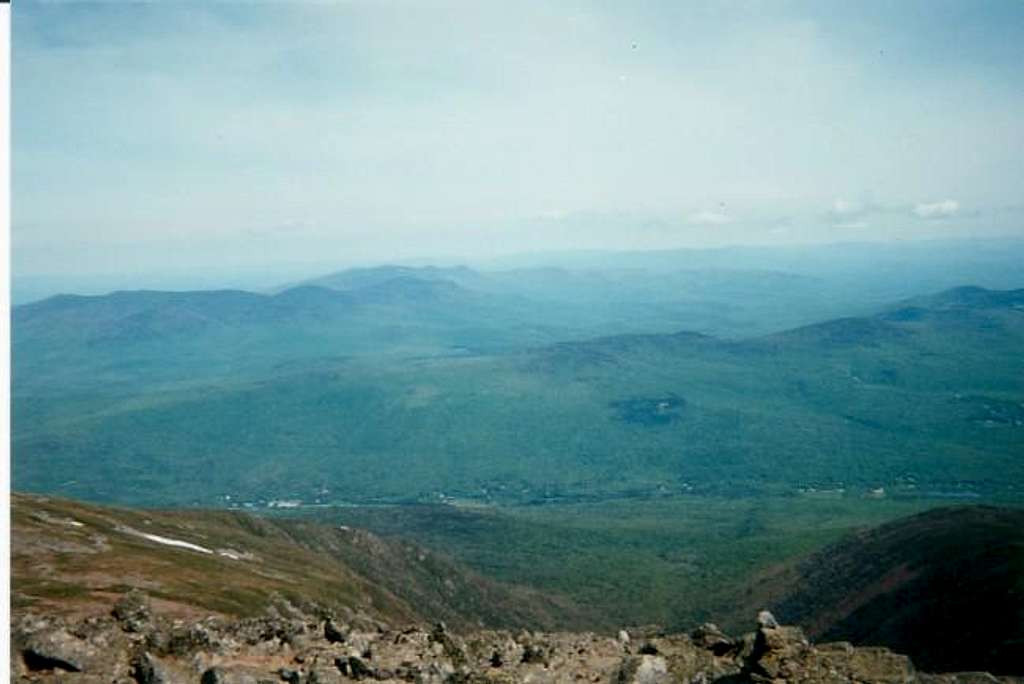
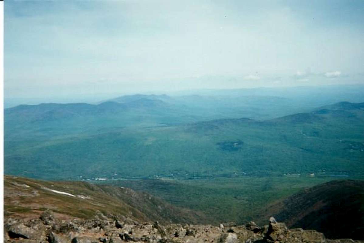
Lowe's Path (L), King Ravine...
View High-Resolution Image
Lowe's Path (L), King Ravine...
Lowe's Path (L), King Ravine (center) and Airline Trail (R), looking down from about 0.5 mile from the summit of Mt. Adams, June 8, 2002.
« PREV
NEXT »
koz
on
Jun 10, 2002 11:30 am
Comments & voting
Other parents
Lat/Lon:
44.32000°N / 71.291°W
Image ID:
7605
2283 Hits
72.62
% Score
3
Votes
Log in to vote
Comments
No comments posted yet.
to post!
Don't have an account?
Mount Adams
(Mountain/Rock)
« PREV
Viewing
#85 of 148
GALLERY
NEXT »
koz's Image Gallery
« PREV
Viewing
#16 of 34
GALLERY
NEXT »
×
You need to login in order to vote!
User Name
Password
Remember me
Forgot your password?
Log me out when I close my browser.
Keep me logged in all the time.
sign in as a user
Don't have an account?
Register now for FREE
Rating available
Suggested routes for you
People who climb the same things as you
Comments Available
Create Albums
Register Here


