
Magerstein / Monte Magro (3273m)
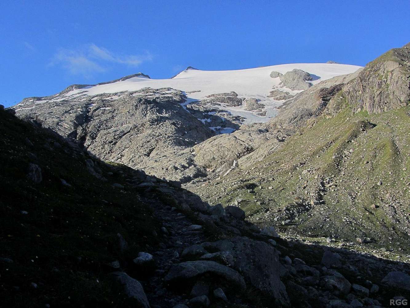
From the Kasseler Hütte, a clear and well marked trail starting out to the south leads to the Antholzer Scharte. I'm on that trail, but plan to leave it somewhere higher up to climb Magerstein, the summit of which is barely visible right of center (not the pointy one in the center, but the next one, at about two thirds).
My map shows a black dotted line for my intended route, basically following the rocky ridge on the horizon, but I know that on this map black dots can mean anything from a marked and easily recognizable hiking trail to a UIAA grade II scramble on poor rock with few cairns or paint marks to show the way. Before starting out I asked around about the route and learned that it's not too bad, and it should certainly be easier than grade II. I'll find out myself when I get higher.
The glacier up there is the Westlicher Rieserferner / Vedretta di Ries Occidentale, which, in English, translates to Western Ries Glacier. According to the map, my intended route doesn't cross the glacier; the rocky ridge leads all the way to the summit.
1 August 2014.


