Toggle navigation
Mountains
Routes
Images
Trip Reports
Forum
What's New
People
Areas & Ranges
Articles
Trailheads
Canyons
Huts & Campgrounds
Albums
Logistical Centers
Fact Sheets
Lists
Custom Objects
Gear
Plans & Partners
WELCOME TO SUMMITPOST
SIGN IN
REGISTER
"Priord Peak"
Additional Parents
Image
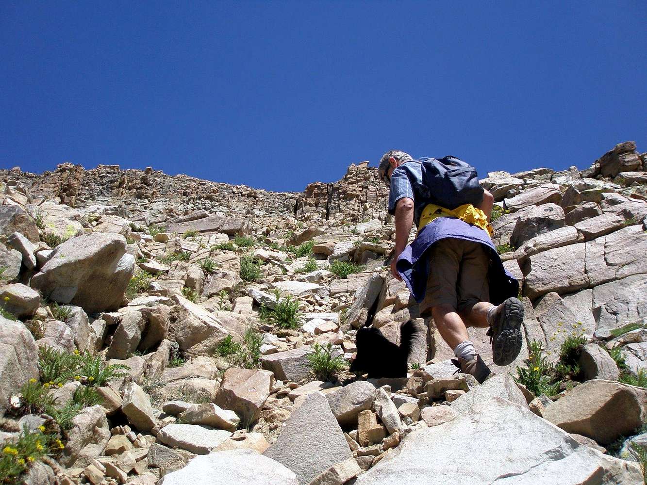
Max leading the way
View High-Resolution Image
Max leading the way
up from the West end of the Shale Bench ... not sure if this steep section was much easier than direct East Ridge, but it wasn't class 4 as far as we can tell. 7/29/08 11:40 am
« PREV
NEXT »
GeoPooch Sobachka
on
Aug 2, 2008 11:50 pm
Comments & voting
Other parents
Lat/Lon:
40.74332°N / 110.74159°W
Image Type(s):
Hiking
Image ID:
427589
1545 Hits
74.01
% Score
4
Votes
Log in to vote
Comments
No comments posted yet.
to post!
Don't have an account?
"Priord Peak"
(Mountain/Rock)
« PREV
Viewing
#26 of 32
GALLERY
NEXT »
GeoPooch Sobachka's Image Gallery
« PREV
Viewing
#218 of 304
GALLERY
NEXT »
Shale Bench
(Route)
Loading....
×
You need to login in order to vote!
User Name
Password
Remember me
Forgot your password?
Log me out when I close my browser.
Keep me logged in all the time.
sign in as a user
Don't have an account?
Register now for FREE
Rating available
Suggested routes for you
People who climb the same things as you
Comments Available
Create Albums
Register Here


