
|
|
Mountain/Rock |
|---|---|
|
|
37.58859°N / 105.51919°W |
|
|
Alamosa |
|
|
Hiking |
|
|
Spring, Summer, Fall, Winter |
|
|
13580 ft / 4139 m |
|
|
Overview
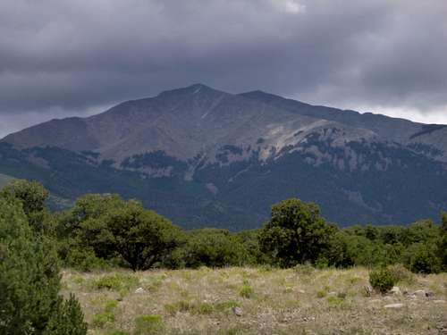
Twin Peaks from the Access Road
The South Zapata Lake Trail leads up to the vicinity of the summit and this is the means used for most ascents. Not far from the trailhead, it is possible to make a short detour into a narrow gorge to see Zapata Falls although this requires walking through the creek and could result in wet feet so might be better done at the end of the hike.
Getting There
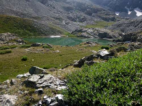
South Zapata Lake
The trail itself goes past the waterfalls and then another 4.5 steep and rocky miles up South Zapata Creek drainage to South Zapata Lake where it is possible to climb west to the summit as described in the Eastern Slopes from South Zapata Lake route description.
Route
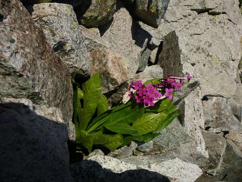
Wildflowers along the way
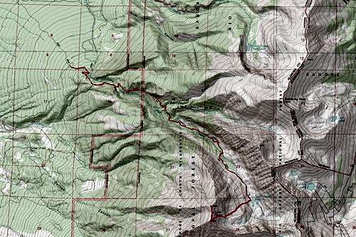
Map of the peak with common route to summit.
Red Tape
The area around Zapata Falls is state land and camping is not permitted within it except in the campground where nightly fees are $11 as of 2017. It is necessary to hike 1.5 steep miles or so to the edge of the forest service land in order to camp at an informal site. From this point up to South Zapata Lake, there are infrequent but nice campsites seen along the trail. The lake itself has nice camping opportunities but with an elevation of 11,900 feet could cause altitude issues if you are coming from the lowlands.When to Climb
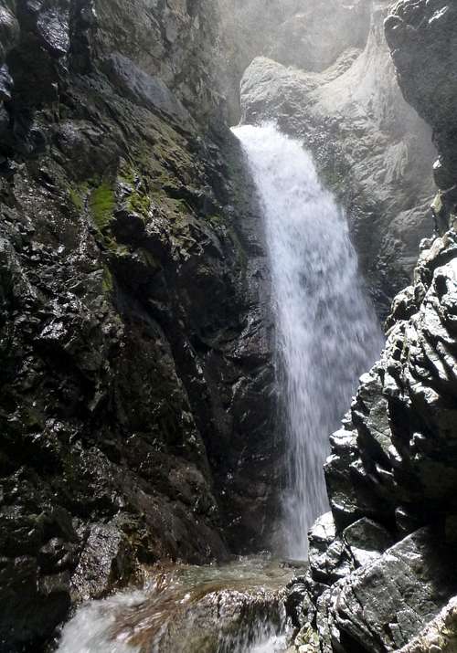
Zapata Falls
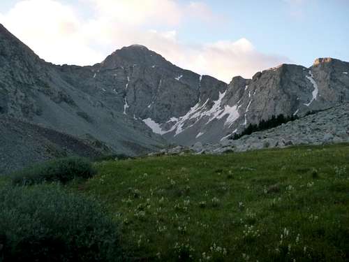
Ellingwood Point from the South Zapata Lake Trail
Camping
Again, one can camp at the trailhead for $11, or along the trail at primitive sites once the Forest Service Land has been reached somewhat over a mile above the waterfall.Cool Stuff Nearby
As I noted above, Zapata Falls is found about a quarter of a mile up the trail. There are even regular benches to rest on leading up to the falls. Once at the creek, it is necessary to enter the water and progress up a narrow gorge to the waterfall. By midsummer, this might be possible without getting feet wet but probably count on getting things wet in going there.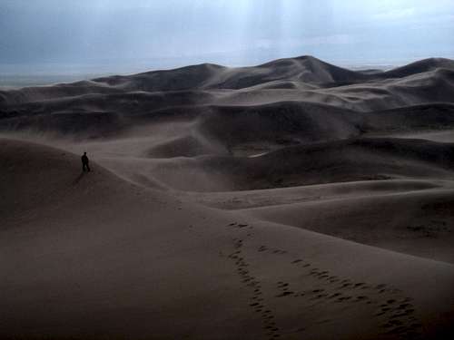
Great Sand Dunes National Park
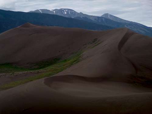
Twin Peaks at the Right from Great Sand Dunes National Park. California Peak is on the Left.
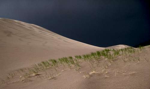
Great Sand Dunes National Park
Although it is a commercial establishment, Colorado Gators Reptile Park is found north of Mosca on Rt. 17. It is an animal rescue and has many really neat snakes, lizards, tortoises, and of course gators including some albino ones, and is worth stopping by if you are into that sort of stuff. They have classes for those who need the thrill of gator wrestling…
External Links
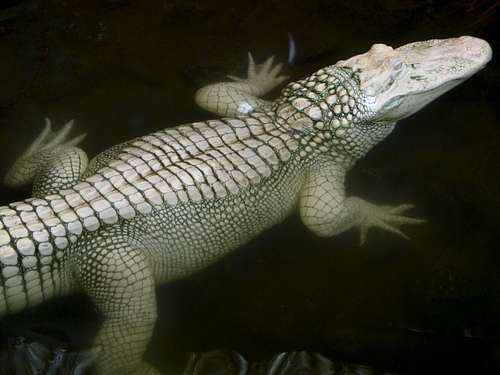
Albino Gator at the Colorado Gators Reptile Park
Great Sand Dunes National Park
Colorado Gators Reptile Park
Zapata Falls Campground