
|
|
Mountain/Rock |
|---|---|
|
|
48.54865°N / 122.59025°W |
|
|
Skagit |
|
|
Hiking |
|
|
Spring, Summer, Fall, Winter |
|
|
688 ft / 210 m |
|
|
Overview
Sometimes you want a huge epic climb to tag a summit. Other times you want to go for something that is much easier but in some ways is almost uniquely as scenic as the epic climb that you did the day before. Guemes Mountain definitely fits the latter.
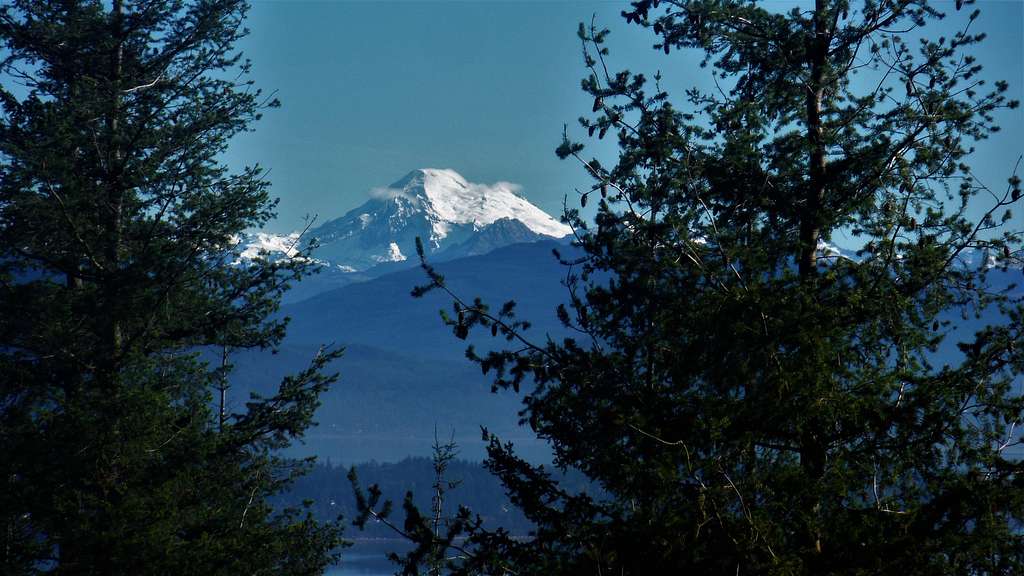
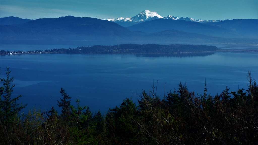
Mount Baker
There are stunning views just 100 feet north of the true summit of Guemes Mountain. To get to these views one takes a 2.5 mile round-trip 650 foot elevation gain hike on a newly constructed WTA trail. The trail is in excellent and climbs at a gradual to moderate grade. At about 500 feet some views start show and continue on and off all of the way to the summer.
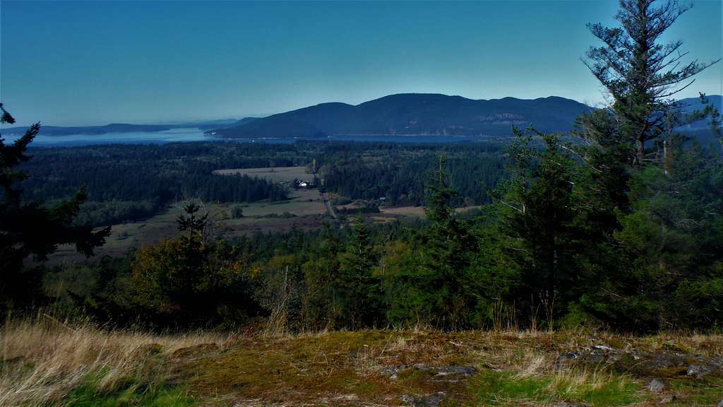
Lopez and Orcas Island
Stunning views await of Mount Baker and the Cascades to the east, Lopez and Orcas Island to the north and Anacortes and the Olympics to the west. It should be noted that the true summit is located 50 yards to the south and is a brushy area. The views are sensational and my party spent the exact same of time on the viewpoint as we did get up and down to the summit. This summit is home to a number of bald eagles on this summit as well. There are some paths to the true summit but no established trail. Honestly it is not really worthwhile to head the true summit unless you are an anal peakbagger like I am.
 This is the true summit! This is the true summit! |  Looking into Canada! Looking into Canada! |
Getting There
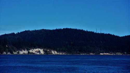
Guemes Mountain from the ferry
FROM ANACORTES: From Commercial Ave. make a left onto 12th St. and go 1/2 mile. Make a right at I Ave. and head another 1/2 miles to the Guemes Island Ferry (which has a toll). Once off the ferry make a right onto South Shore Road for 2 miles. You will see a small parking area on the right side of the road.
Route
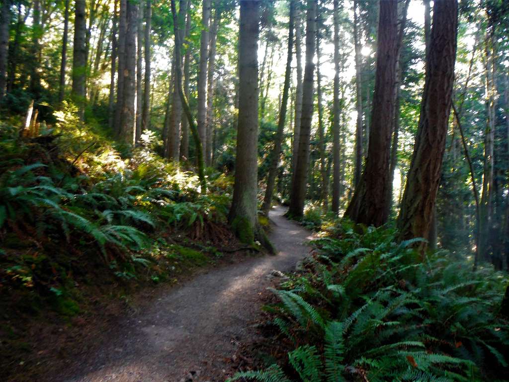
Well designed trail
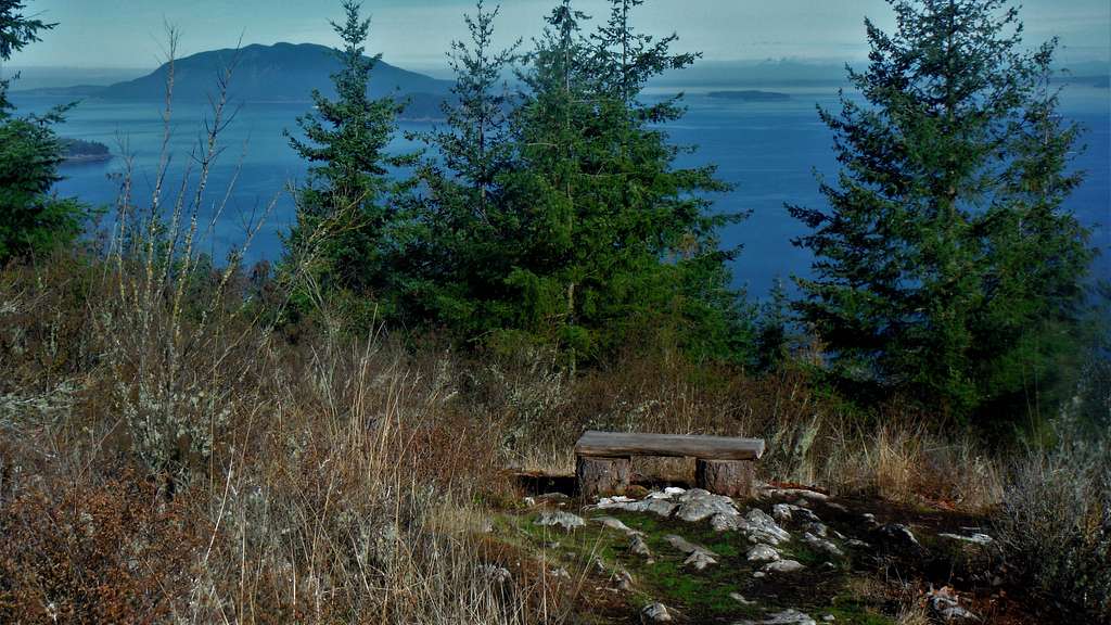
Park bench waiting for people to sit on it
Red Tape
No read tape is need to park at trailhead other than no overnight parking.When to Climb
This view can be enjoyed any time of the year!
Camping
Camping is prohibited on this Mountain. This mountain is just a day use mountain and a hike that at most is two hours roundtrip.External Links
Guemes Mountain Peakbagger Page.
Guemes Mountain Alltrails Page