
-
 9904 Hits
-
 85.36% Score
-
 20 Votes
|
|
Mountain/Rock |
|---|---|
|
|
36.48224°N / 118.1967°W |
|
|
Inyo |
|
|
Hiking |
|
|
Spring, Summer, Fall, Winter |
|
|
11415 ft / 3479 m |
|
|
Overview
The Sierra Nevada mountain locally known as “Flat Top” is not especially high or challenging. It’s not shapely like Alpamayo or Ama Dablam. It doesn’t have an interesting name like, say, “Satans Guillotine.” But it does provide a hiker, without undue effort, excellent views of surrounding meadows, lakes and higher peaks; and it’s useful as a warmup/acclimatization peak.
R. J. Secor's book “The High Sierra: Peaks, Passes, and Trails” refers to this mountain as “Golden Trout Crag,” and mentions that there are sites for rock climbing on its southwest, north and east sides. But overall, this is not a craggy peak. It’s broad and sandy, with mostly Class 2 terrain. I believe SummitPost's Dave Daly correctly reckons that "Golden Trout Crag" actually refers to the prominent crag on the east side of Flat Top - the side closest to the Golden Trout Camp, which is just across Cottonwood Creek.
Flat Top is a wide, flat-topped (surprise!) mountain occupying space between Cottonwood Creek to the north and South Fork to the south. It is about 3.7 miles roughly southeast of Mt. Langley, and about 2.3 miles east of Cirque Peak. It is easily overlooked; popular trails go around it, leading to better known destinations such as the Cottonwood Lakes, Cirque Peak and Mt. Langley.
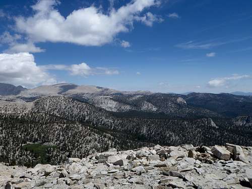 Flat Top (in the middle distance) as seen from Trail Peak
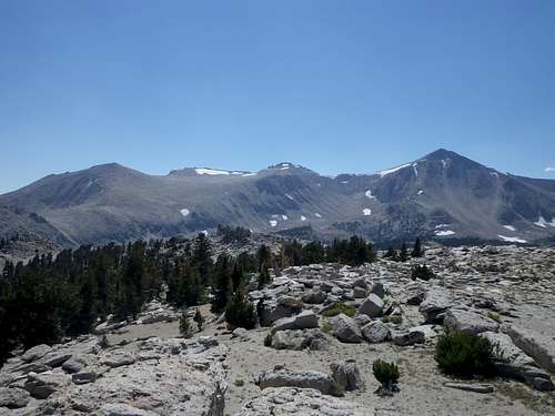 Trailmaster, Peak 12525 and Cirque Peak from Flat Top
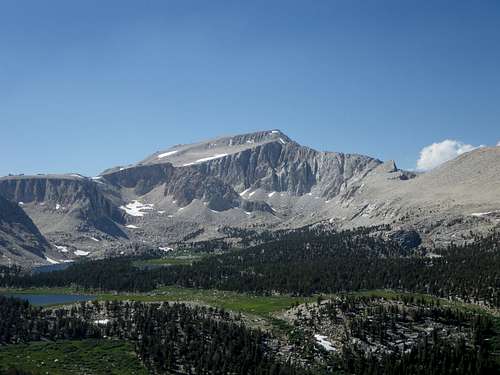 Mt. Langley as seen from Flat Top
Getting There
The Cottonwood Lakes trailhead is at 36.4532 N, 118.1698 W. From Lone Pine, California take Whitney Portal Road west 3.1 miles. Turn left onto Horseshoe Meadows Road and drive 19.2 miles. Turn right at the sign for Cottonwood Lakes and New Army Pass. Drive about 0.6 miles to the Cottonwood Lakes trailhead parking area.
Route
The easiest terrain is on the southern and northwestern slopes of Flat Top. The south side is closest to a trailhead, so that is the most direct approach. Start at the Cottonwood Lakes trailhead. Within about 30 minutes there is a stream crossing. Immediately after crossing the stream, just look up and to the left. That’s Flat Top. The Cottonwood Lakes Trail continues, passing by Flat Top on its east side, then curving around and passing by its north side. Thus, for most hikers, Flat Top is just a big obstacle to get around while headed somewhere else. But why go around it when you can go over it?
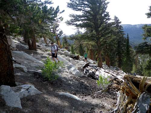
Leave the trail and simply head up, avoiding the more difficult climbing of the east side. Generally, work your way up and to the left, knowing that the true summit is on the northwest side. Traversing the summit plateau from east to west is pleasant due to the scenery – picturesque old trees and large, interesting rock formations. Some optional climbing fun can be had on the rock formations as well.
 Easy terrain on the southeast side of Flat Top
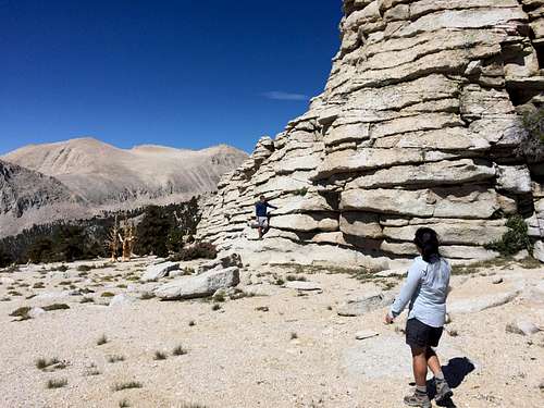 Rock formation east of the true summit
Upon crossing the stream on the Cottonwood Lakes Trail, one could also hike farther west before beginning an ascent of Flat Top from another point on the south side. There is an obvious gully on the western half of the wide south side, which could be used for ascent and descent. Either way, it is all Class 2. I like to ascend from the southeast, then descend directly south from the summit to enjoy the meadow in the gully.
 Alternative ascent/descent route
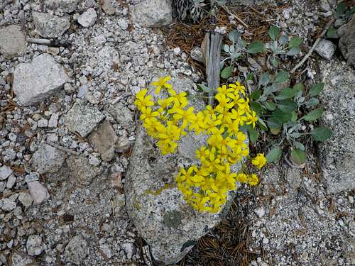 Flowers encountered on the descent
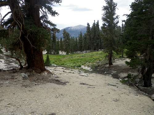
Flat Top is also an easy bonus peak when approaching from the northwest on the way back from climbing another area mountain. There is minimal gain from the northwest, and the terrain is easy and pleasant.
 VERY friendly terrain on the northwest slopes
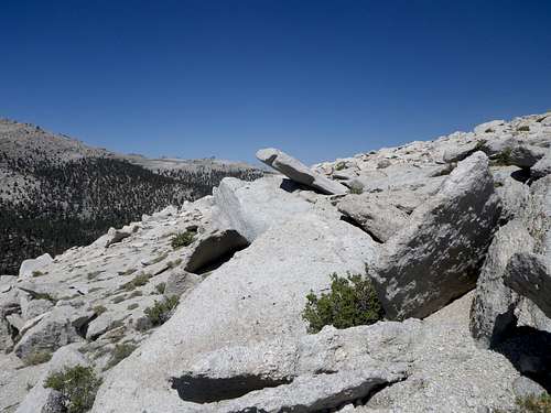
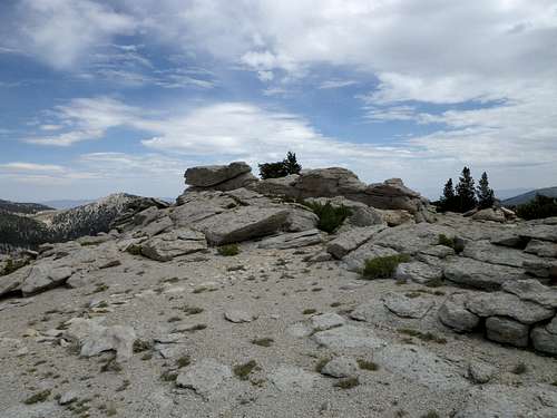 The summit of Flat Top
To return, just descend the south side anywhere, then hike east between Flat Top and South Fork to find the Cottonwood Lakes Trail again, and take the trail back to the trailhead.
This route is about 6.5 miles round trip, with about 1,500 feet of elevation gain.
Red Tape
Information on permits and restrictions can be found here:
When to Climb
Flat Top never closes, but Horseshoe Meadows Road does, seasonally. The road is not plowed. When the gate is locked the approach is long and arduous.
Camping
The Cottonwood Lakes trailhead campground has 13 walk-in sites. These sites include food storage boxes, tent pads, tables, fire grates, piped water and toilet facilities.