|
|
Mountain/Rock |
|---|---|
|
|
31.45115°N / 109.88544°W |
|
|
Cochise |
|
|
Hiking |
|
|
Spring, Summer, Fall, Winter |
|
|
6502 ft / 1982 m |
|
|
Overview
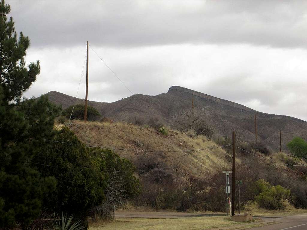
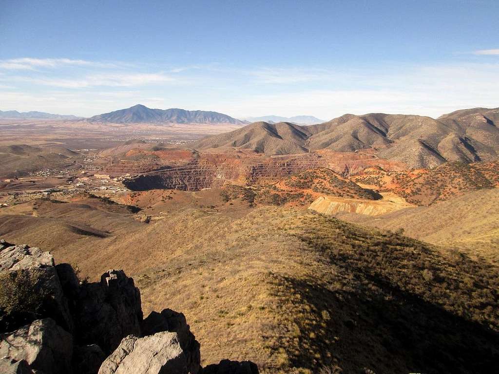
Located about two miles northeast of Old Bisbee, Mural Hill is notable for a long cliff band of limestone reef that almost encircles the summit. The peak is best viewed from points along highway AZ-92 east of the Lavender Pit (the massive copper-mine pit now fenced off as a "scenic viewpoint"). The mountain is on private land, that owned by the mining companies, but public access seems to be allowed with the understanding that people keep the place clean. Hunting and target shooting is strictly prohibited. Old mine tracks run throughout these hills offering plenty of hiking opportunities.

Getting There
Park at the public lot (elev 5,300 feet) on the east end of Old Bisbee, near the Copper Queen Hotel, slightly west of a traffic circle where AZ-80 "connects" to the city's Main Street. There are other parking spots sprinkled throughout town. It can be crowded so come early or be willing to search.
Route
Walk northbound up OK Street. This is the easternmost street in Old Bisbee. Pass a number of business, hotels and private residences, all precariously built into the steep hillsides. Walk about a half-mile to the road's end at a private drive. This last segment is concrete and dirt, gains about 20 feet. Just before you see "Private Drive" signs, go right at an obvious trail let-in point. (In March 2018, a 5-foot statue of Jesus was placed here).
Walk up a few feet. Go left if you want to visit the Catholic Shrine atop Youngblood Hill (hence, the Jesus statue), or go right and follow a steep path up to the saddle separating Youngblood Hill and Chihuahua Hill (which hosts the big "B" overlooking the city). To here, you've gained about 450 feet in a mile.
Now, continue down the east side of the hill, losing about 420 feet into Dubacher Canyon, then go up the mine roads on the west slopes of Jones Hill. The road peters out into a track, which continues north, leaving the rockier hills behind and now onto more grassy terrain. Soon, come to a T-junction about 5,900 feet elevation. Along this stretch, you see Mural Hill's cliffs for the first time looking east.
Go right at the T-junction, then left through an opening in an old gate. Continue east up the track to a saddle up ahead, elevation 6,200 feet, passing below Mural Hill. At the pass, go right on the trail, and when it turns left, look for a path in the gully, where ribbons tied on tree branches may help. Follow this rough path to the top, gaining another 300 feet. This last segment is loose and brushy. Pay attention to the cairns and ribbons to ensure you come down the same way.
The one way hike is about 3.5 or 4 miles, with a net gain of 1,200 feet, but including 420 feet of loss, which will need to be regained.
Be sure to tag Youngblood and Chihuahua Hill, getting two bonus peaks out of the hike.


Red Tape
The land is private but access is allowed. Be conscientious, don't litter, and stay clear of any mine shafts you may encounter.

When to Climb
It snows in winter, which may make the tracks muddy or slick, but generally the weather is mild. Summer can get warm (about 100 F the hottest) but thunderstorms are common here during July, August and September.
Despite following roads and trails most of the way, wear long pants and sleeves. There is thick brush (lots of catclaw) that encroach onto the trails. When warm, this is prime rattlesnake habitat. Mountain lions are also in these hills. You'll probably see some deer, too.
You may also see squatter camps down in the canyons below the tracks.
Camping
No convenient camping nearby. The hotels are rustic and fascinating. The Hotel Bisbee (Lamore) and the El Dorado are along OK Street. The Copper Queen is the most elegant of them all.
This is an old mining town. Don't expect swanky 5-star digs. Everything here looks like it did in 1910. That's the charm of Bisbee.

External Links
Yeah yeah.


