|
|
Mountain/Rock |
|---|---|
|
|
48.21393°N / 121.22131°W |
|
|
Snohomish |
|
|
6772 ft / 2064 m |
|
|
Overview
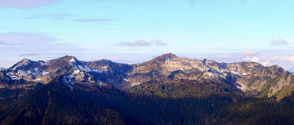
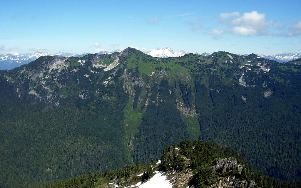
Lime Mountain is the 6772' high point of Lime Ridge, a northwest to southeast trending ridge located roughly eight miles northwest of Glacier Peak. While the Glacier Peak Wilderness has no shortage of beautiful ridgelines, one thing makes Lime Ridge special - it has more alpine lakes than you can shake a stick at. In fact, USGS maps show no less than 12 lakes on this ridgeline, most of which lie in glacier-carved cirques on the northeast side.

One would suspect that an area like Lime Ridge would be somewhat popular - and not too many years ago, it was. That changed in 2003, when floods destroyed the footbridge across the Suiattle River accessing the Milk Creek Trail. This has caused Lime Ridge to be somewhat ignored as a back-country destination. However, those with the courage to find their own way across the Suiattle River will be rewarded with solitude, and some of the best scenery the Glacier Peak Wilderness has to offer.
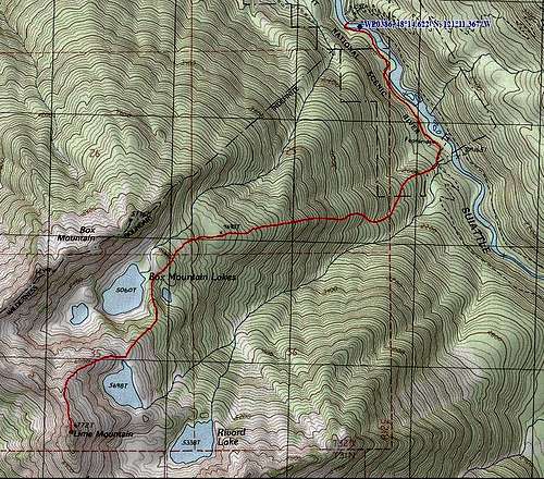
Note: The USFS has begun to study the feasibility of putting in a new bridge (at Waypoint 386 on route map) at some point in the future, and then building a connector trail to the Milk Creek Trail. At this point, there is no money in the budget for the bridge, so it may be a few years before it is completed.
For the peakbagger, Lime Mountain offers a healthy (but certainly not impressive) 912' of prominence. Perhaps the more significant statistic is the 5.26 miles of isolation, a figure that is only bested by 13 other peaks in Snohomish County. So, whether you're a peakbagger, fisherman, photographer, or 'isolationist', you are sure to find something you like on Lime Ridge.

Getting There
Navigate yourself to the beginning of FR26 (Suiattle River Road), just east of a steel grate bridge where SR530 crosses the Sauk River. This intersection is located 7.4 miles north of Darrington, and 11.2 miles south of Rockport. Now simply follow FR26 for 23 miles to the Suiattle River Trailhead, which is also the end of the road. The first 10 miles will be paved, followed by 13 miles of gravel and potholes.
Route
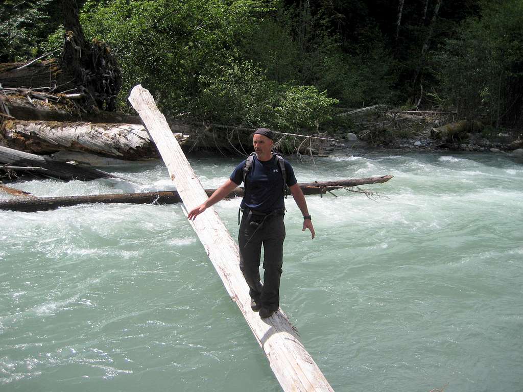
The 'crux' of this climb will probably be encountered three minutes after leaving your car - the crossing of the Suiattle River. There are two options: 1. Cross over the river near the trailhead, or 2. Hike one mile up the Suiattle River Trail and hope you find a crossing. From the few reports I have read, and from my own personal experiences, it seems that option 1 usually works the best. Please note that the crossing at the trailhead (provided there is one) will look different every year.
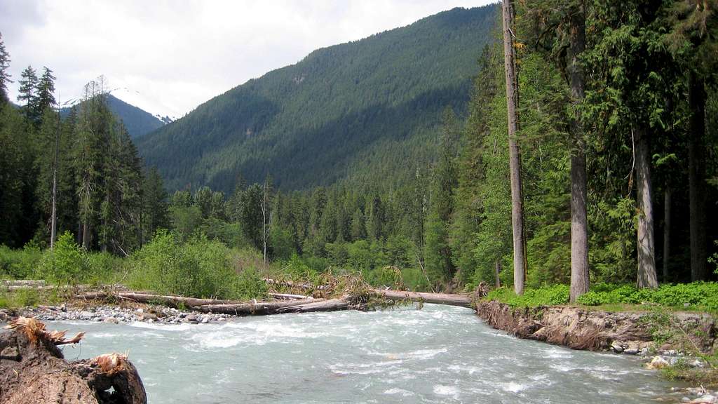
Assuming you chose option 1, very carefully find your way across the Suiattle River, preferably on a log. You do not want to fall in this river (particularly in early season), as the water is ice cold, and choked with strainers. Now locate a faint footpath that follows the riverbank southeast for 0.8 miles to the Milk Creek Trail (only approximated on route map). Generally speaking, this trail stays within a stone's throw of the river - if you lose it, you have probably strayed too far 'inland'. Once intersecting the Milk Creek Trail, follow it for a short distance to the creek draining Rivord Lake. Just before the creek, you should notice a footpath (marked with flagging) heading uphill to the right. Do not attempt to 'shortcut' your way uphill before finding this path, as a nasty little cliff band will make your life difficult if you do.
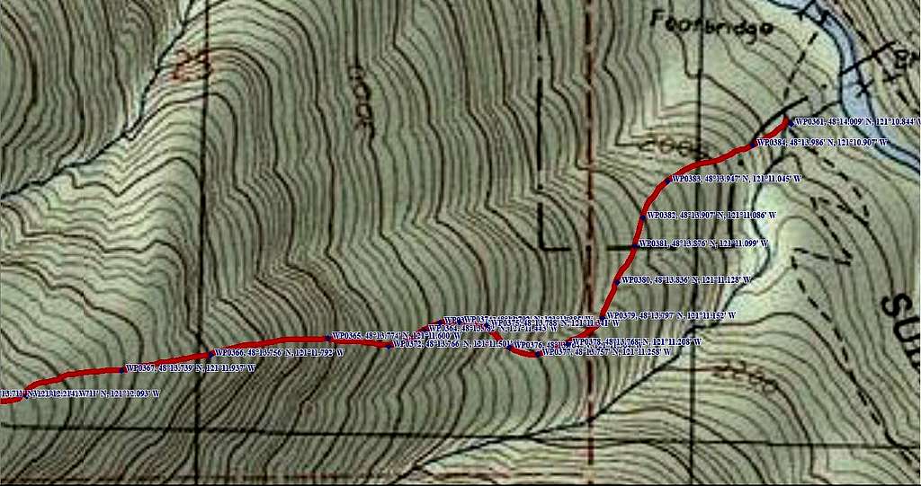
The path you have just discovered is one end of the 'Rivord Lake High Route'. It is described by pages 36-38 of the book 'Routes and Rocks' - free pdf download here. This path will be the gateway to accessing the wonders found 3000' above. Generally speaking, it is in good condition from decades of use. Unfortunately, 15 years of relative neglect means that blowdowns and brush obscure it in a few spots. As long as you pay attention, and spend a few moments 'refinding' the trail after losing it, your journey to the alpine country should be relatively 'easy'. When I say 'easy', I mean the trail only gains 3000' in two miles! We did spend a few minutes plotting extra waypoints on the way down to assist users of this trail. You may want to print this image up and take it with you for reference, particularly between 2000' and 3000'.
At roughly 4500', the trail begins to fade somewhat. This is not much of an issue, as the terrain begins to open up, and the route becomes fairly obvious. In early season, expect the route to be snow-covered from this point on. Travel southwest toward the largest of the Box Mountain Lakes (5060'), staying left of the outlet creek to avoid the associated gully.
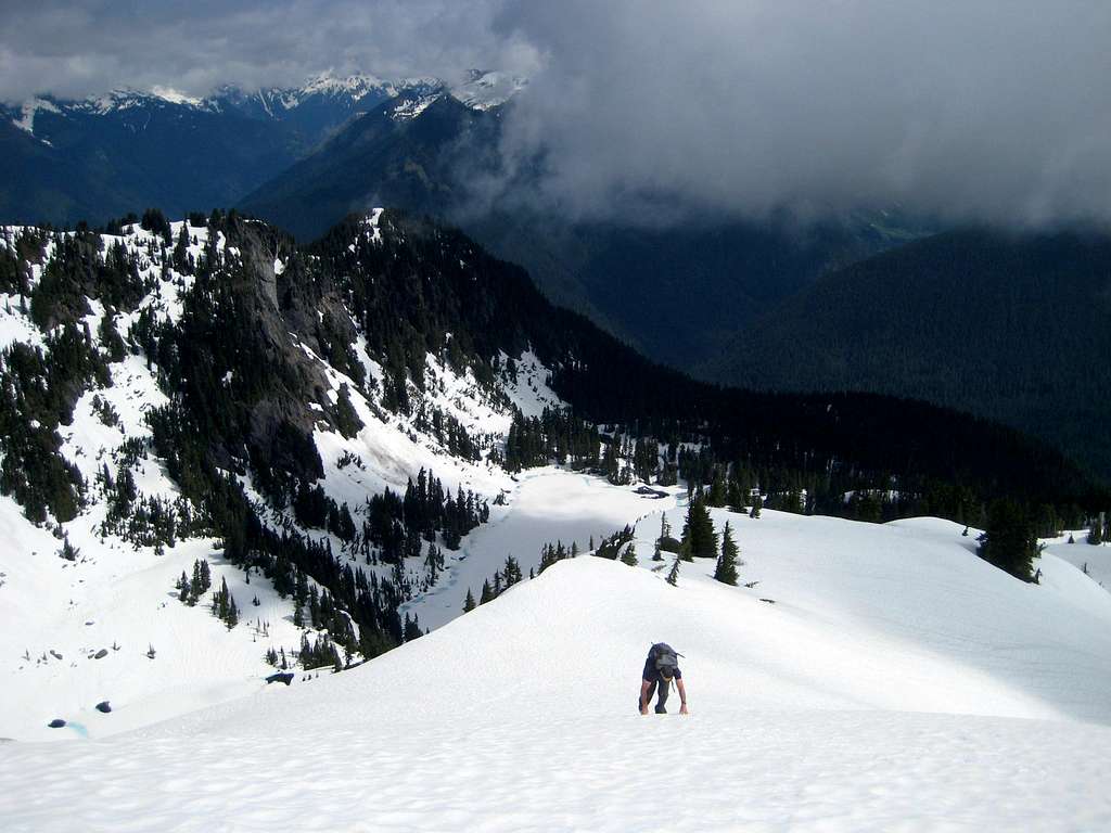
From the lake, turn south, then southwest up a very obvious ridgeline to 'Upper Rivord Lake' (per Fred Beckey). This lake is unlabeled on USGS maps other than the 5698' elevation.
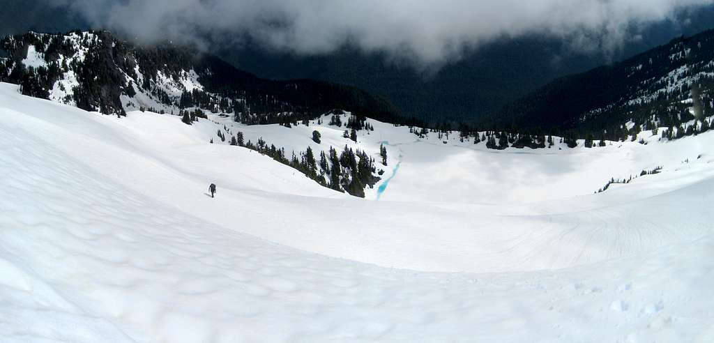
From Upper Rivord Lake, continue up the same obvious ridgeline southwest, then south toward Lime Mountain's summit.
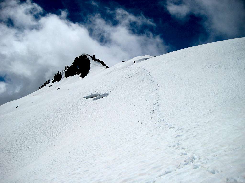
From 6600' on, a little bit of class 2/3 scrambling will probably be required in late season. In early season, expect steep snow. For us (late May), it was somewhere in between. Our 'technical crux' of the climb was getting around a large fist-sized rock on the summit ridge. For us, the moat on climber's left was the best option, as the runout on the snowfield did not look appealing. This involved about 50' of low-exposure class 3, and was not difficult.
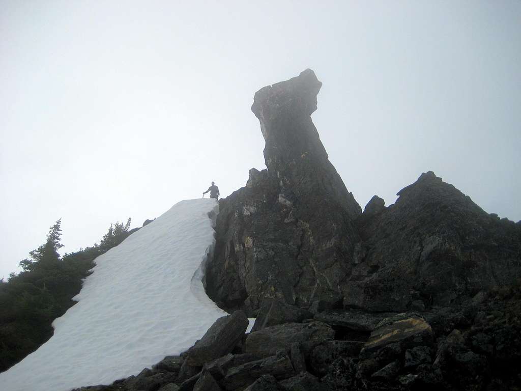
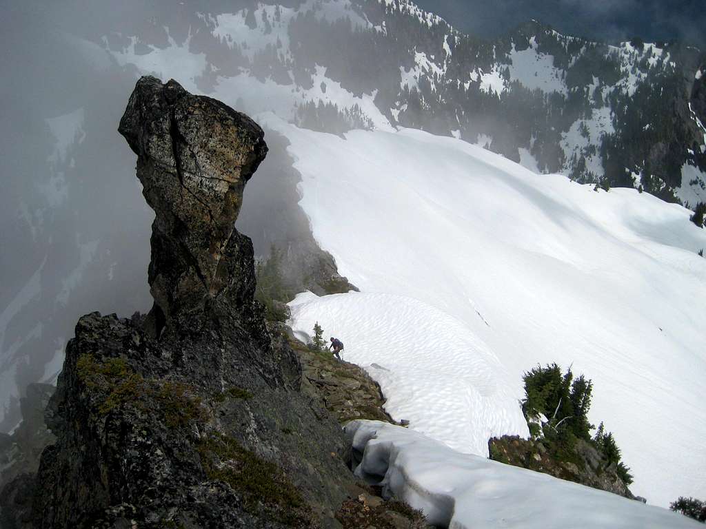
After passing 'The Fist', easy scrambling leads to a pleasant summit.
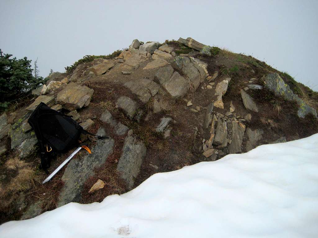
Use caution, as this summit can have large cornices in early season.
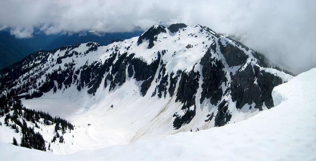
Unfortunately, a marine layer robbed us of the big views. For Lime Mountain's summit views, please reference Eric Willhite's excellent page here.
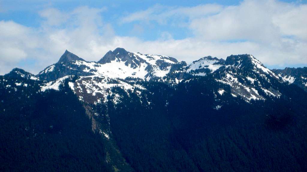
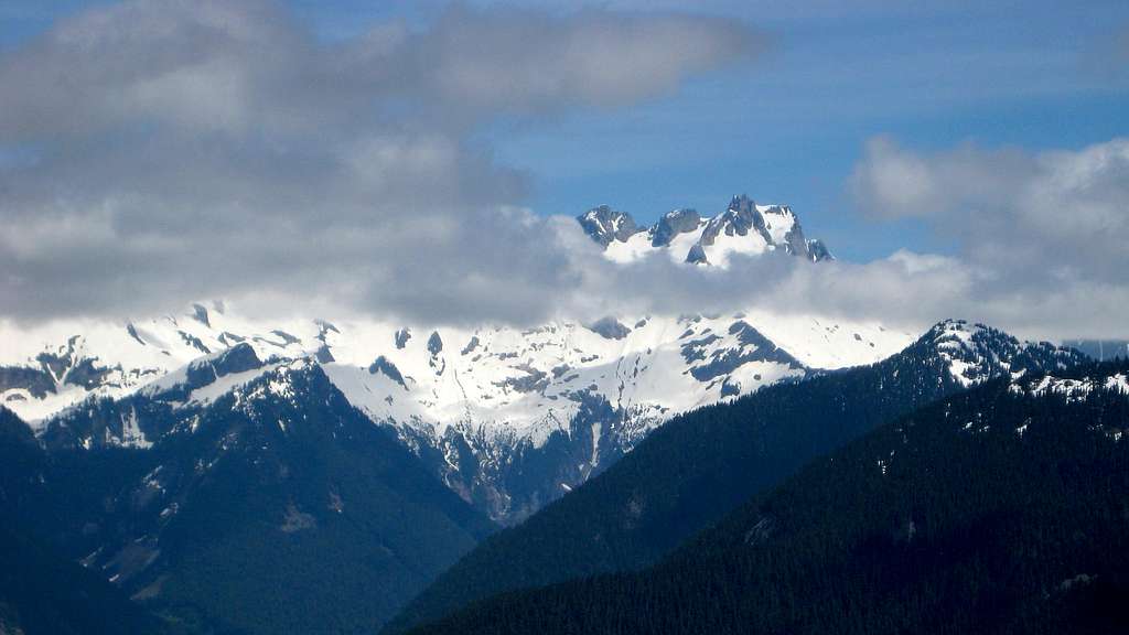
Of course, as luck would have it, things began to break up as we started our descent.

Red Tape
A Northwest Forest Pass is required to park at the Suiattle River Trailhead.
When to Climb
As the Suiattle River Trailhead is located at a relatively low elevation, this route could probably accessed March through November most years. Use caution on the upper slopes of Lime Mountain if there is any possibility of avalanche.
Camping
The Sulphur Creek Campground is located just before the Suiattle River Trailhead. For camping on the route, the are unlimited possibilities, incuding several lakes, above 4700'.

