|
|
Mountain/Rock |
|---|---|
|
|
48.83439°N / 120.83971°W |
|
|
Whatcom |
|
|
Hiking, Mountaineering |
|
|
Summer, Fall |
|
|
7514 ft / 2290 m |
|
|
Overview
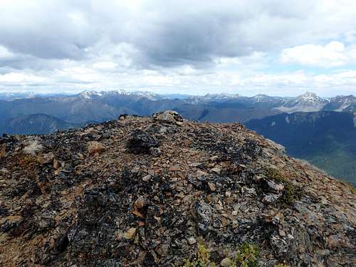
Daemon Peak is the most recognized unofficial name for a 7514’ mountain located in the Pasayten Wilderness of Washington. Although located near trails, the peak is seldom climbed and generally considered to be remote. Most people who visit the mountain are interested in topographic prominence; the peak has 2194’ of clean prominence, one of only 144 peaks in Washington with at least 2000’ of clean prominence and good enough for 112th on that list.
Local peakbagger Dr. John Roper originally chose the name Daemon Peak “because of Devils around. And while standing atop with fog in all the valleys, one felt like the being between Heaven and Earth.” The “Devils” observation is in direct reference to officially named landmarks in the area, including Devils Pass, Devils Ridge, Devils Dome, Devils Creek, Devils Park, and Devils Loop. However, despite its ominous name, Daemon Peak is not necessarily a hellish monster; climbing difficulty is only Class 2 during peak climbing season (July-September).
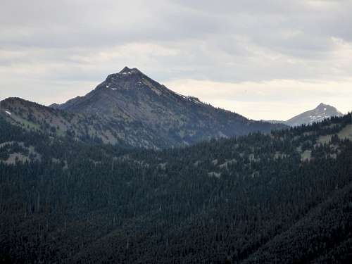
Despite being located near trails, there is no short approach to Daemon Peak. Each route involves many miles of hiking, and each approach has both advantages and disadvantages. The primary route described on this SummitPost page is via Canyon Creek Trailhead, which is accessible by any street legal vehicle and which offers arguably the most scenic approach.
Getting There
STARTING FROM MARBLEMOUNT (heading east): Drive Highway 20 east 32.8 miles to the Canyon Creek Trailhead (near Milepost 141).
STARTING FROM WINTHROP (heading west): Drive Highway 20 west 55.1 miles to the Canyon Creek Trailhead (near Milepost 141).
Route
JACKITA RIDGE APPROACH (simplified version):
0.0 Miles –Hike begins at Canyon Creek Trailhead
2.0 Miles –Hike enters Pasayten Wilderness
3.9 Miles –Crater Mountain Trail junction and entrance to McMillan Park (5250’)
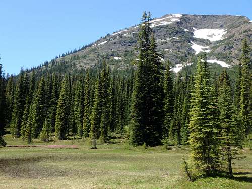
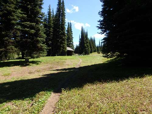
McMillan Park 7.0 Miles –USFS Snow Survey Shelter and entrance to Devils Park (5840’)
Entering Devils Park 9.0 Miles – Highest point of Jackita Ridge Trail (6800')
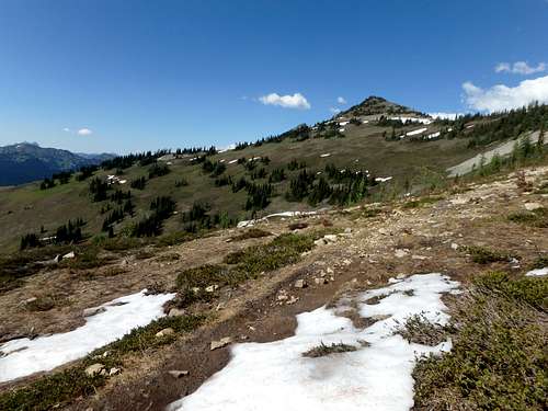
Jackita Ridge Trail 12.0 Miles – Trail low point at North Fork Devils Creek crossing (5100’)
15.0 Miles –Devils Pass (6050’). A short distance beyond, turn right (east) onto Devils Ridge Trail (6120')
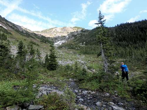
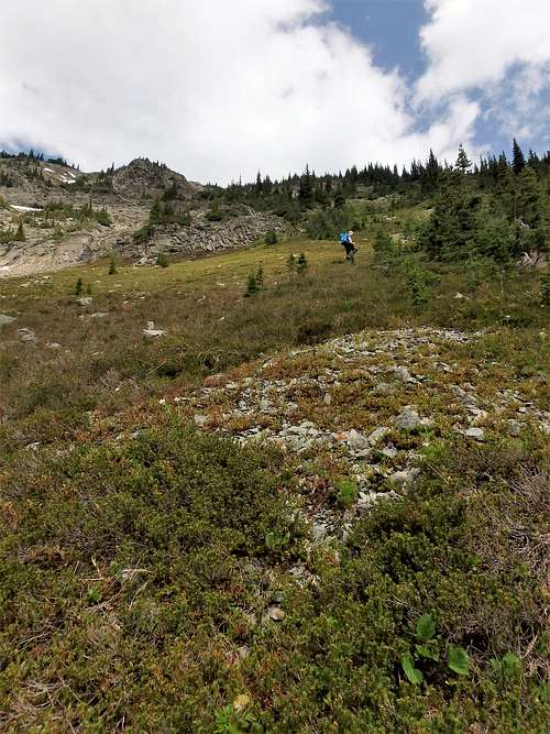
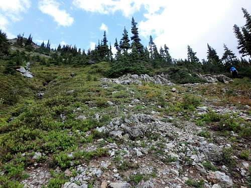
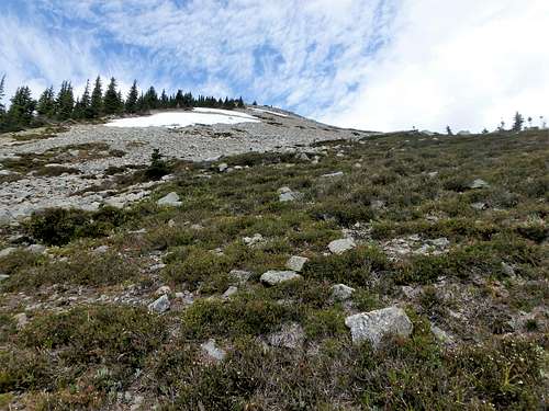
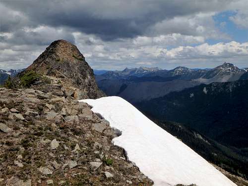
16.0 Miles –Leave Devils Ridge Trail (5900’) and ascend south basin of Daemon Peak. Follow steepening meadow terrain to the southeast ridge (6900’)
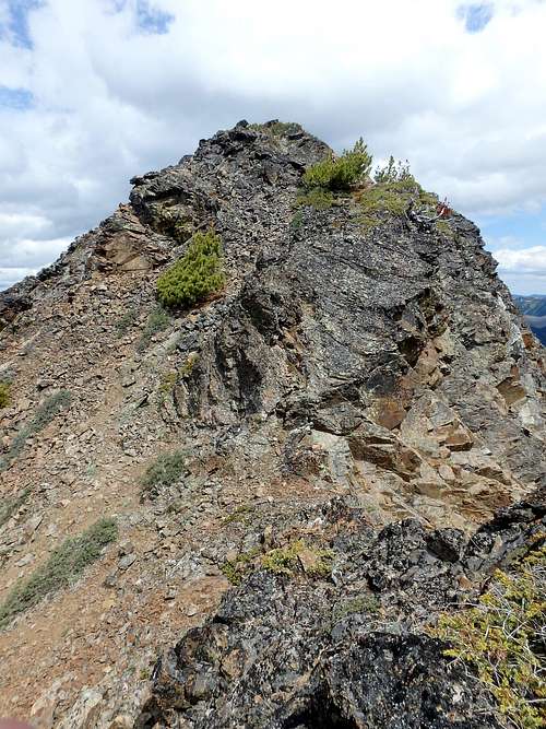
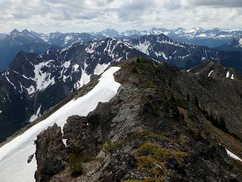
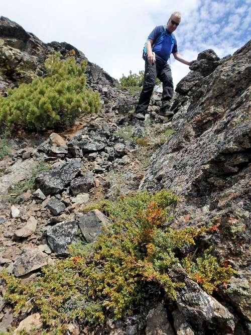
Daemon Peak - South Basin Daemon Peak - South Basin Daemon Peak - South Basin 17.2 Miles – Reach Daemon Peak summit (7514’) via southeast ridge
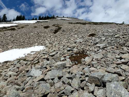
Daemon Peak - Southeast Ridge Daemon Peak - Southeast Ridge Daemon Peak Daemon Peak Daemon Peak Daemon Peak - Crux Section Daemon Peak Summit ROUNDTRIP TOTAL: 34.4 miles with approximately 11,000' cumulative elevation gain (with all ups and downs considered)
Red Tape
A Northwest Forest Pass (parking pass) is required at the Canyon Creek Trailhead.
A backcountry permit is required for overnight hikes in the Pasayten Wilderness. Contact the Marblemount Ranger Station or Methow Valley Ranger Station, for further details.
When to Climb
Primary climbing season for Daemon Peak is July-September. July is popular for longer daylight, wildflowers and green meadows, and views of snow-capped peaks, but might have some lingering snow. August is popular for berry season but has less water availability. September is popular for seeing “golden larch” trees but has limited water availability.
Camping
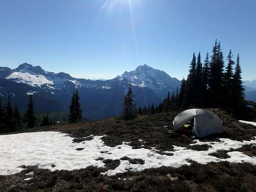
Backcountry camping is available at nearly every major landmark or critical junction. This includes but is not limited to:
- Crater Mountain Trail junction
- Nickol Creek Pass
- Devils Park (a lot of campsite opportunities, spanned across entire parkway prior to trail ascending Jackita Ridge)
- Beyond Middle Fork Devils Creek crossing
- Beyond North Fork Devils Creek crossing
- Above Devils Pass
- Devils Pass
- Trail junction north of Devils Pass (multiple campsites)
External Links


