|
|
Mountain/Rock |
|---|---|
|
|
47.95680°N / 121.16418°W |
|
|
Snohomish and Chelan |
|
|
6368 ft / 1941 m |
|
|
Overview
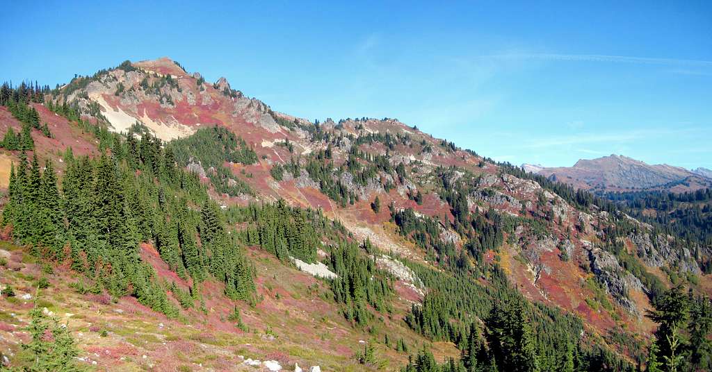
Skykomish Peak is a 6368' (788' prom.) summit located just west of the Pacific Crest Trail (PCT) approximately two miles north of Cady Pass. As it is the highest of the 'PCT Peaks' (my personal definition for which is a 30 minute or less scramble from the PCT) between Stevens Pass and White Pass, it offers spectacular unrestricted views for a modest amount of effort. This, of course, assumes you have gone through the trouble of hiking a number of miles to get to it's base.
As the PCT has numerous connector trails coming in from both the east and west in the area surrounding Skykomish Peak, I will not attempt to describe the approaches in detail. Whether you are a day hiker, backpacker, or PCT through-hiker, I will work on the presupposition that you have the ability to select the trailhead, trail, and peak combination that works best for you.
Getting There
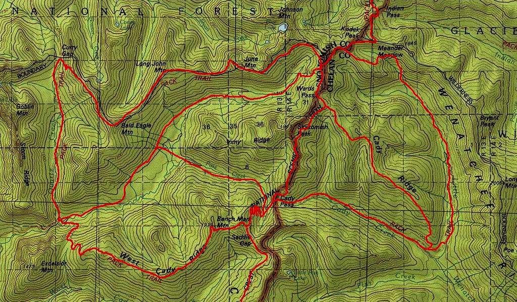
As of this writing (10-16-18), the Little Wenatchee River Trailhead (accessed via FR6500 from Lake Wenatchee or Smithbrook Road) would provide the simplest access to Skykomish Peak. From here, the Cady Creek Trail, Cady Ridge Trail, and Little Wenatchee River Trail all offer reasonable access to the area. The easiest of the three options is most likely Cady Ridge Trail #1532 - expect round trip distance of roughly 16 miles and 3400’ of elevation gain if using this trail.
Assuming that the North Fork Skykomish Road (FR63) is repaired someday, the North Fork Skykomish Trailhead will provide the easiest access for the majority of users. From this trailhead, the West Cady Ridge Trail, Pass Creek Trail, North Fork Skykomish Trail, and Bald Eagle Trail all offer a suitable approach. As of this writing, FR63 is still closed at FR65, resulting in an additional 4.4 mile road walk.
Route
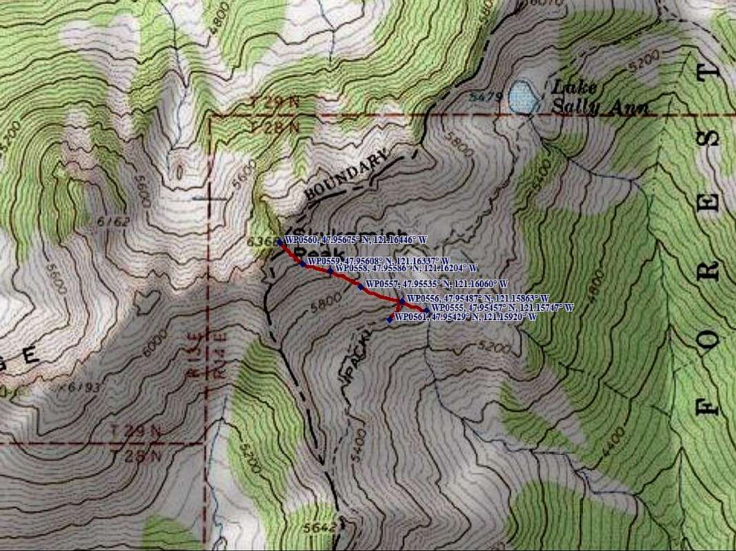
From a point approximately 1/3 mile ESE of Skykomish Peak, head WNW directly toward the summit, which will be obvious and well-defined. Generally speaking, it will be easier to stay slightly north of the hogsback that trends east from the summit. There is certainly nothing to stop one from taking a more southerly route, but it will result in a steeper slope and rockier terrain.
Note: Waypoint 555 is on the current PCT, which has been rerouted downhill from the old PCT as shown on the USGS map. As you scramble up Skykomish Peak, you will likely notice the old trail grade in a few places.
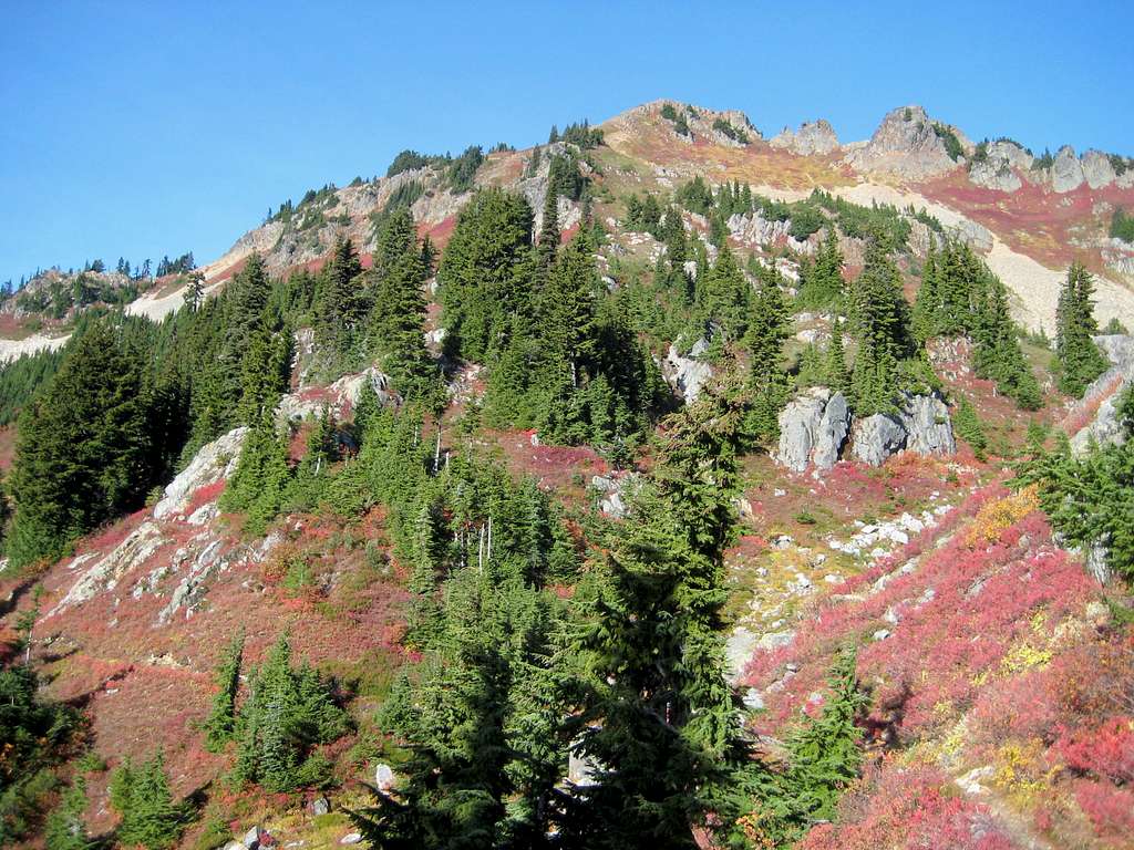
While Fred Beckey describes Skykomish Peak as a 'short alpine stroll', that may be understating things slightly. Perhaps a better description would be a 'steep, Class 2 heather scramble’. It is certainly not difficult, but I imagine the vegetation and lack of defined trail could make this scramble frustrating in wet conditions.
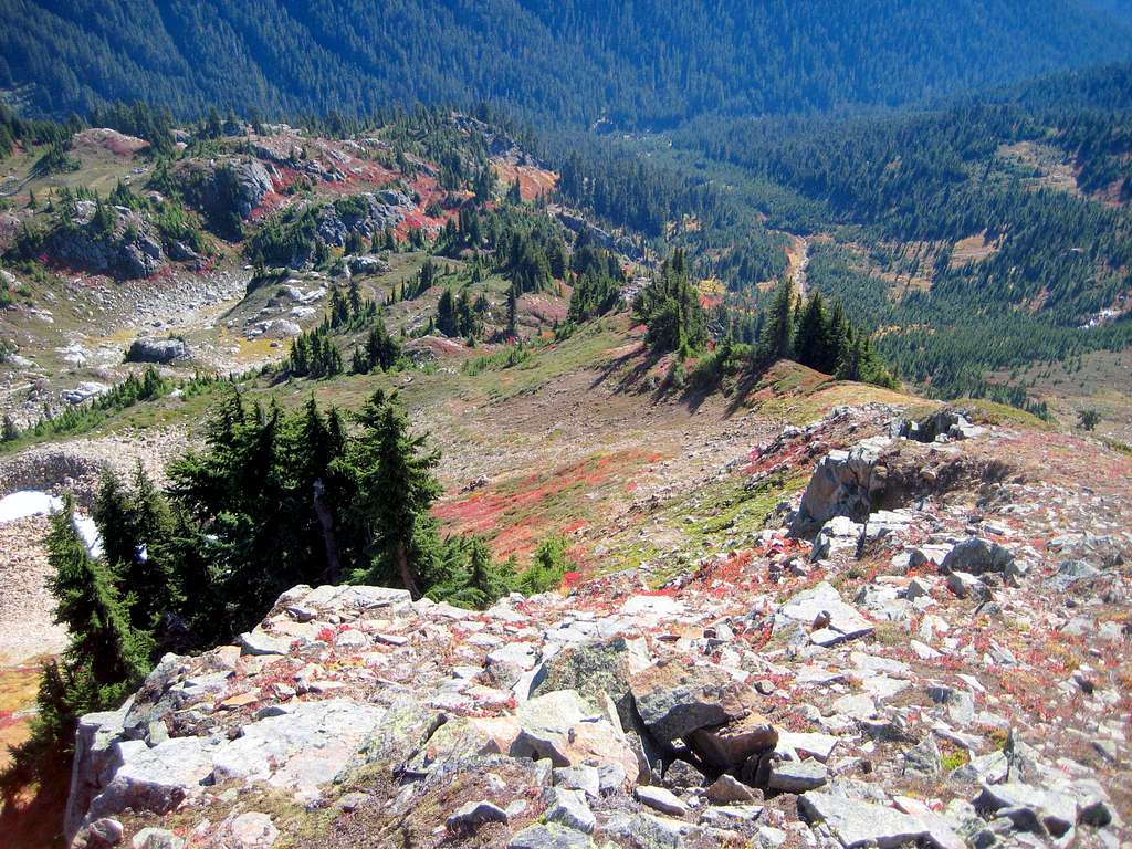
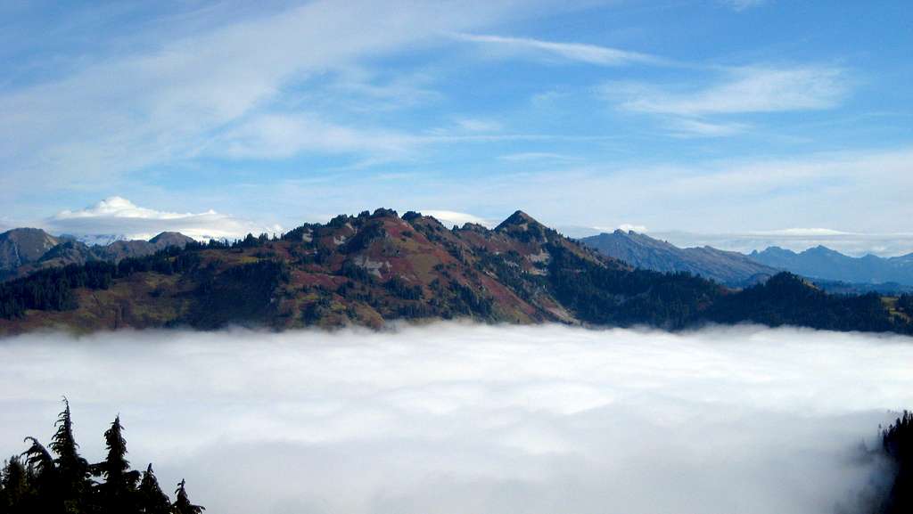
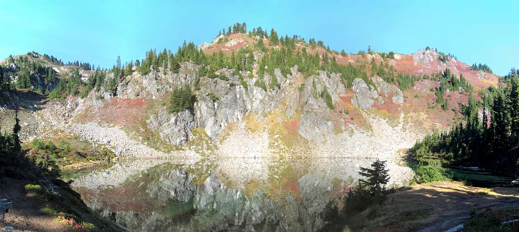
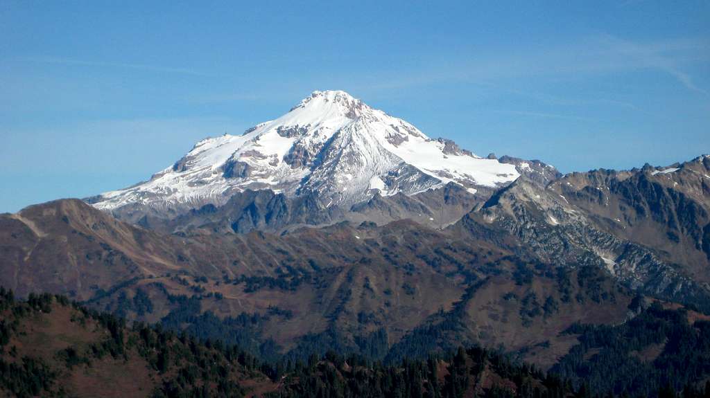
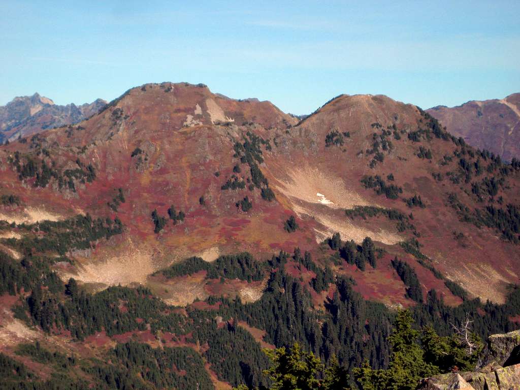
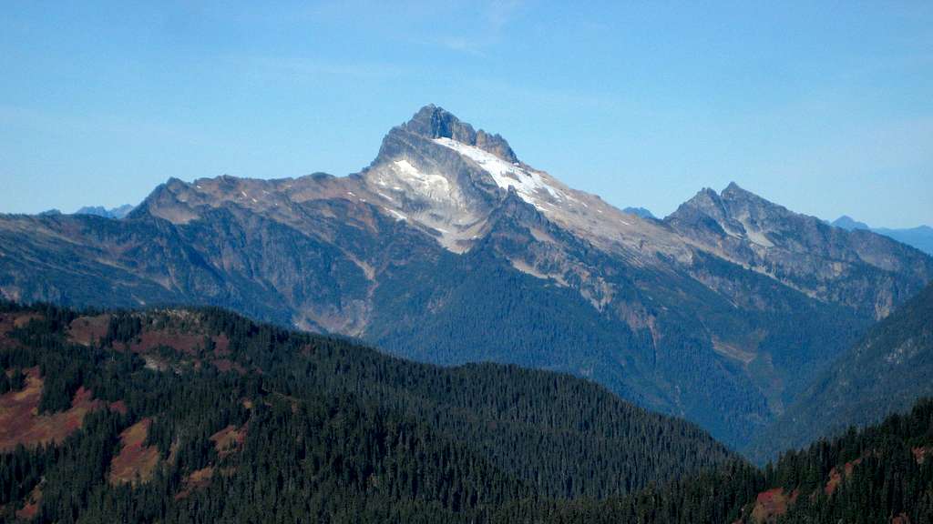
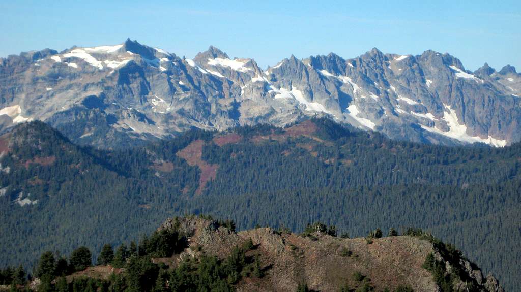
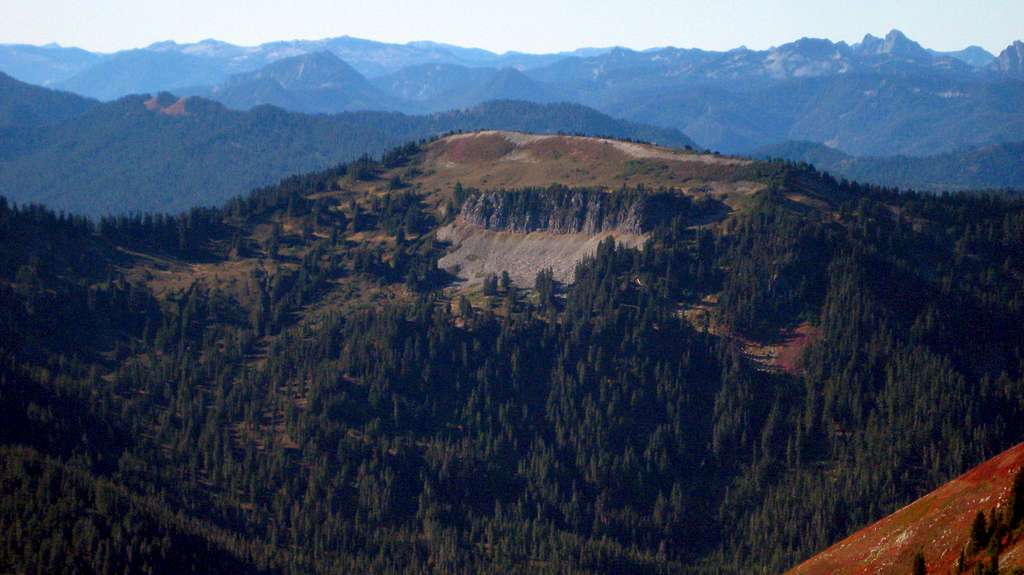
Assuming you have clear skies, the views from Skykomish Peak are fantastic, particularly in the fall as the slopes change colors.

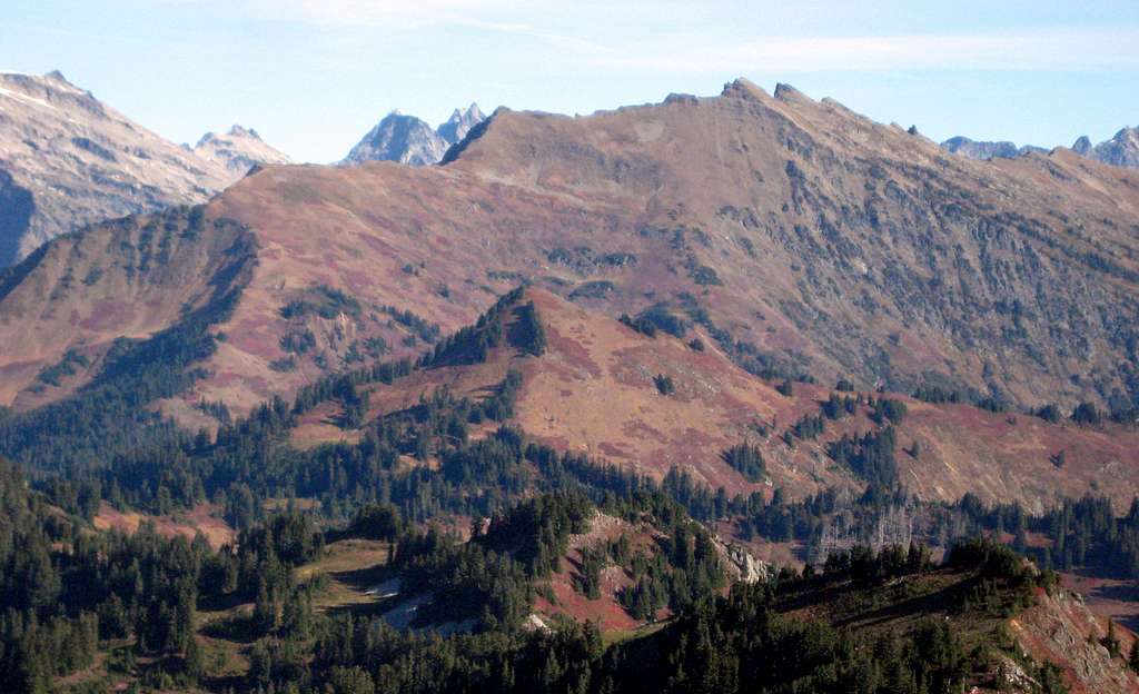
Red Tape
Both of the mentioned trailheads require a Northwest Forest Pass.
When to Climb
As the approaches require a fair amount of hiking, this peak would probably be more enjoyable after most of the snow has melted out (July to October). This area is particularly scenic in September and October.
Camping
As the approaches utilize the PCT and related connectors, there is no shortage of camp sites en route to Skykomish Peak.

