|
|
Mountain/Rock |
|---|---|
|
|
47.04562°N / 121.51002°W |
|
|
Pierce |
|
|
Hiking, Scrambling |
|
|
Spring, Summer, Fall, Winter |
|
|
5781 ft / 1762 m |
|
|
Overview
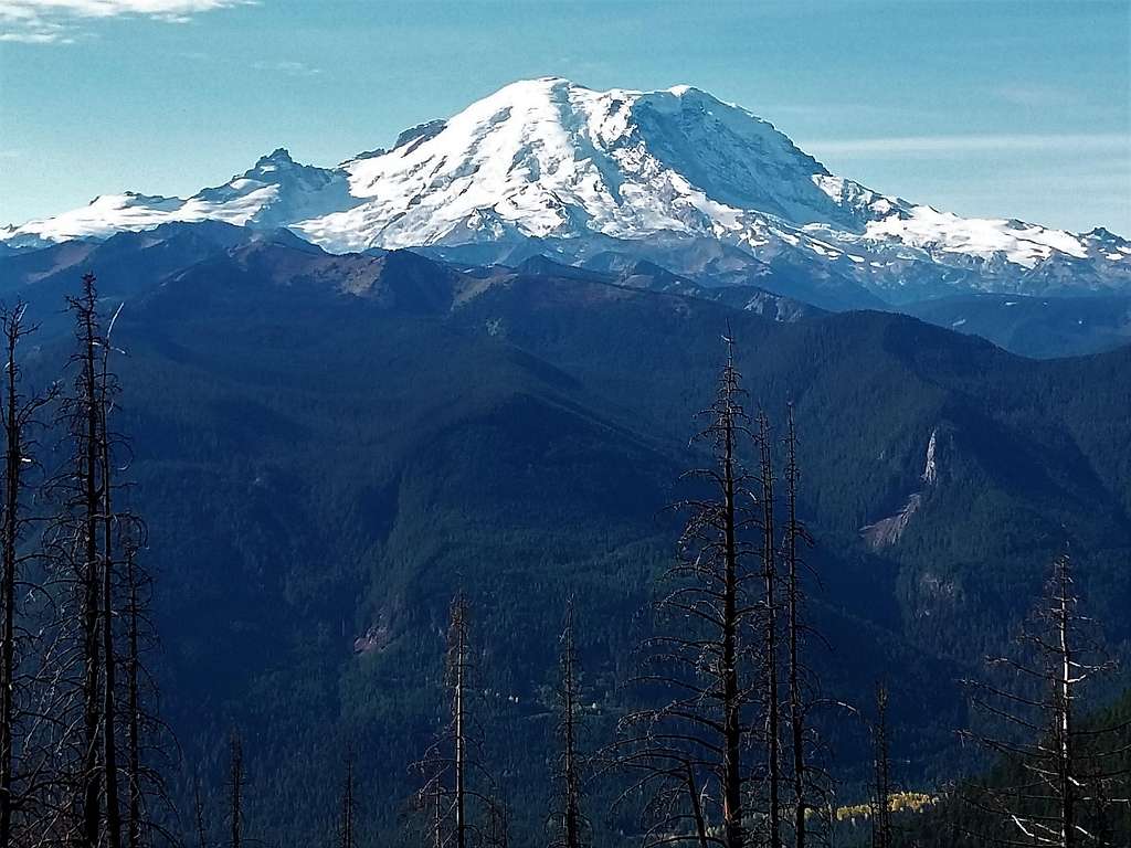
Dalles Ridge, located east of Mount Rainier is one of a number of peak that are located east of Highway 410 and north of the Crystal Mountain area. Like the other peaks in the region Dalles Ridge is home to excellent views toward Mount Rainer, Noble Knob and Ignoble Knob. The peak itself was strongly affected by wildfires back in 2017 and many of the evergreens on this peak are more just skeletons. Getting to Dalles Ridge in late spring, summer, or fall requires only a 4 mile roundtrip and 800 foot gain hike in light off trail scramble to the summit from the Dalles Ridge Trailhead located high up on the ridge. It is easy enough for many families to do. But in winter though the Dalles Ridge trailhead will be closed and one must come up from the Little Ranger Trailhead which would be 11 miles total and 3400 feet of gain.
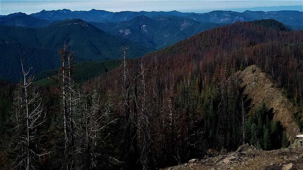
Many who come up this peak the shorter way usually like to add on Ignoble Knob and Noble Knob. Noble Knob used to be famous for its fall colors. Unfortunately due to the fire of 2017 this is not as much the case, though this can change back in a couple of years. Ignoble is the highest of the three summits but again it has been compromised due to forest fire.
Getting There
VIA THE DALLES RIDGE TRAILHEAD: Take Highway 410 from Enumclaw for 20 miles east to Greenwater. About a mile beyond Greenwater make a left on NF-70 (paved) and head six miles to NF 72. Make a right on NF-72. Stay on this road for 7 miles to NF-7250. This road as of 2017 is marked with a warning sign. Make a left and stay on it all of the way to the end of the road.There is no parking area but just a pull out.**The road has a couple large potholes but is still very easy for a passenger vehicle to travel on.**
VIA LITTLE RANGER TRAILHEAD: Take Route 410 east of Enumclaw for 30 miles. Make a right on NF 7160 and an immediate left into the Skookum Flats trailhead. You will then want to walk about to Route 410 and cross the road.The trail to Little Ranger Peak takes off from the east side of the highway.
Route
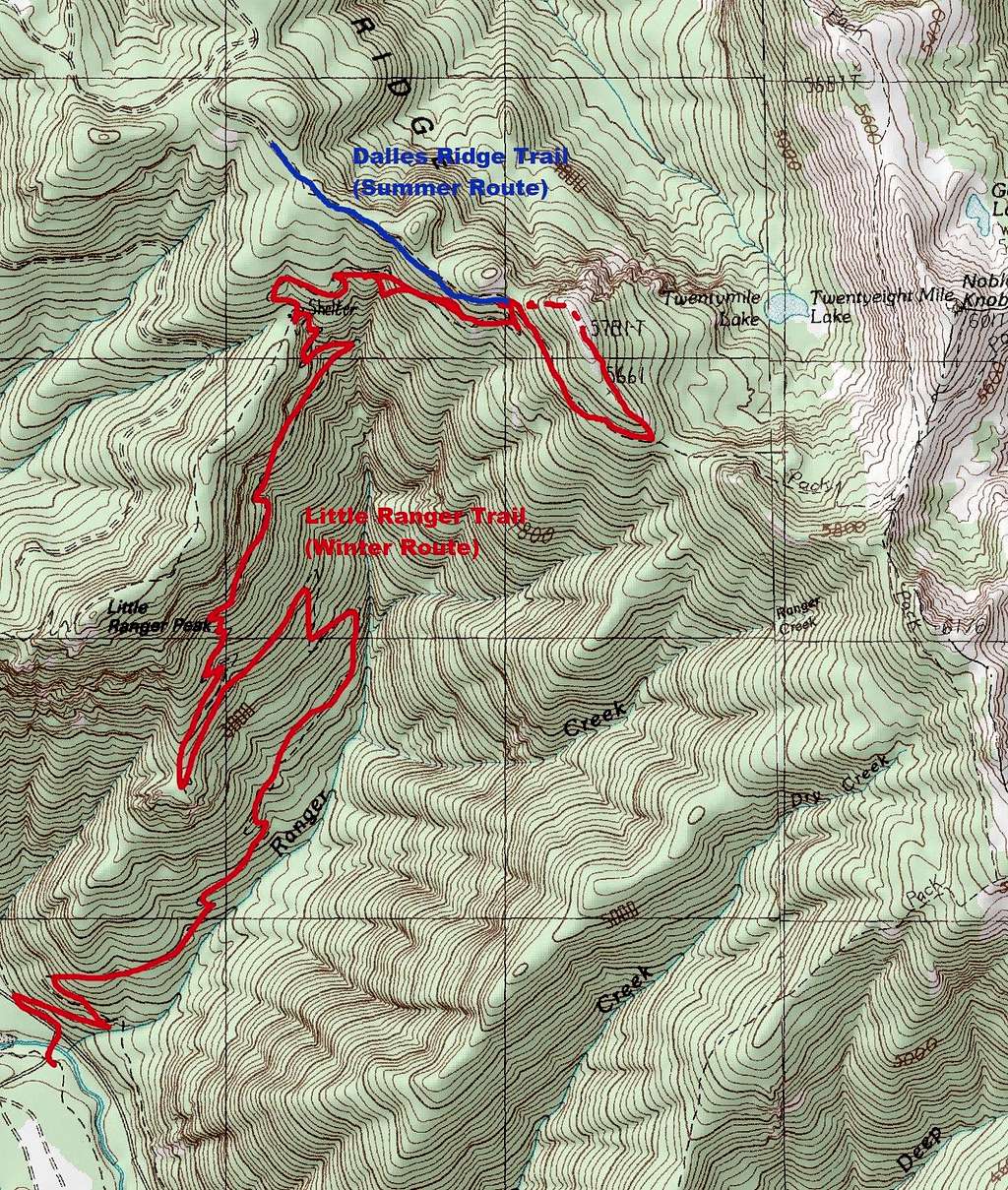
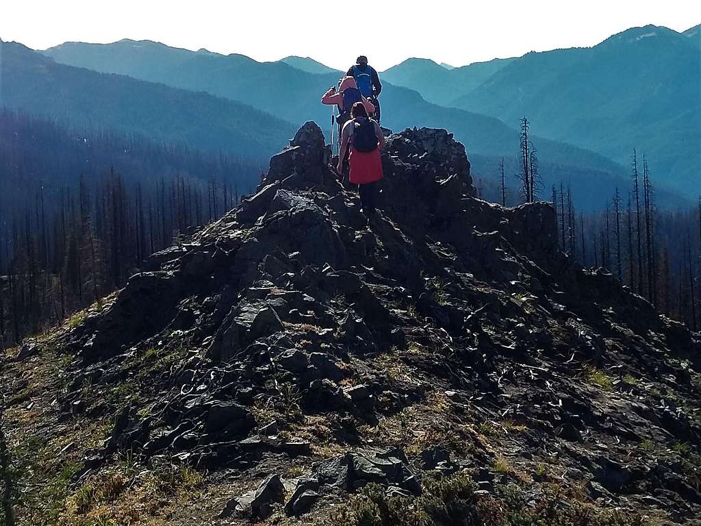
VIA THE DALLAS RIDGE TRAIL (June to October): Take the trail has it goes up at a very gradual pace. At roughly 1.5 miles you will run into the intersection from the Little Ranger Area. Veer left in the uphill direction and continue on the relatively gradual trail. Soon you will be at the base of the Dalles Ridge. Don't head up immediately because it is extremely steep but head up at the eastern most part of Dalles Ridge. There is no trail or true bootpath. Just head up from the eastern side and follow the ridge as it narrows to the true summit where 360 views await.
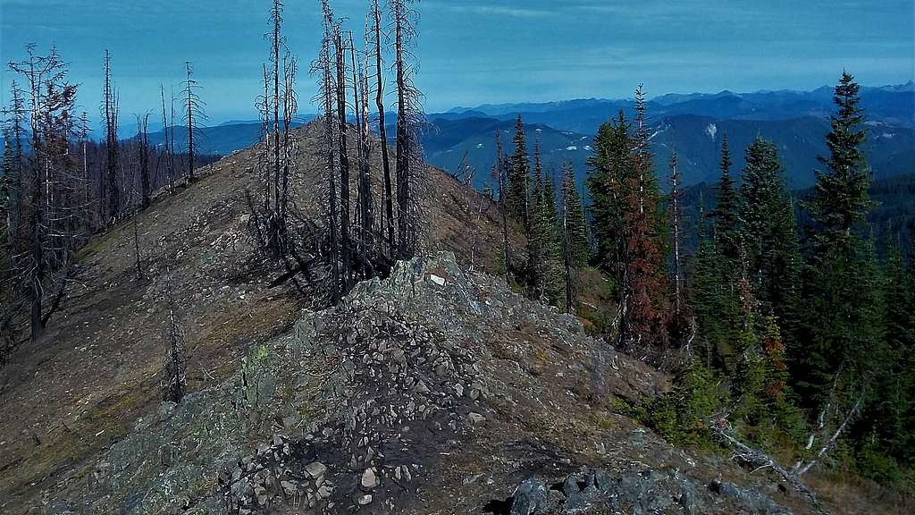
VIA LITTLE RANGER TRAIL: Take the Little Ranger Trail roughly 4 miles and 2500 feet of gain through the switchback to the shelter. Once at the shelter make a right and head up 500 more feet to the intersection with the Dalles Ridge Trail.Soon you will be at the base of the Dalles Ridge. Don't head up immediately because it is extremely steep but head up at the eastern most part of Dalles Ridge. There is no trail or true bootpath. Just head up from the eastern side and follow the ridge as it narrows to the true summit where 360 views await.
***NOTE TO WINTER TRAVELERS: Once it gets past November the whole section past the shelter is likely to be snowed in. If that is the case then just rise up the forest up to the ridgeline. Once on the ridgeline head right and follow it to the top of Dalles Ridge. The final section to the top of Dalles Ridge from the east may require steep travel and even an ice axe.*****
Red Tape
WTA says there is a Northwest Forest Pass requires at Dalles Ridge. I saw no indication that it is true at all. Bring one just in case because this area did suffer a serious burn a year ago. As for Skookum Flats a Northwest Forest Pass is clearly required for this trailhead.
When to Climb

It can be climbed at any time of year. However in winter the Dalles Ridge Trailhead elevated at 5300 feet will be inaccessible which means you will have to start at the Skookum Flats Trailhead. .
Camping
As for Dalles Ridge we saw no camping on the trail to the peak. However there is a shelter down by Little Ranger Peak and there is a camping area located within feet of the summit of Noble Knob. One can probably be comfortable with trailhead camping as well.
External Links
Link telling a little bit about the Dalles Ridge Trail


chugach mtn boy - Oct 19, 2018 9:15 pm - Voted 10/10
Location wrongThe page is showing this as being in West Virginia. You want WA, not WV!
EastKing - Oct 19, 2018 11:43 pm - Hasn't voted
Re: Location wrongArgh!! I had a lot of problems sp today. Thank for the catch though. Hopefully I can get the other pictures up soon.