
|
|
Mountain/Rock |
|---|---|
|
|
33.54466°N / 112.55106°W |
|
|
Maricopa |
|
|
Spring, Fall, Winter |
|
|
3671 ft / 1119 m |
|
|
Overview
Light Benchmark is one of the more accessible summits in the White Tank Mountains, but few ever reach the summit. It is south of the higher, and more popular, Radio Summit 4,018’ and Barry Goldwater Peak 4,083’. Light Benchmark doesn’t have a trail for the final 550’, so most people don’t go up to the top. They pass by on Tower Road, which tracks up the west side of the mountain. Light Benchmark is recognizable for the 1,700’ drop off from its lower summit. The steepness of its South face is pretty impressive. Hikers could attempt this, but are probably way safer approaching the summit from the high point on Tower Road. Light Benchmark has also been referred to as Cat Hill.
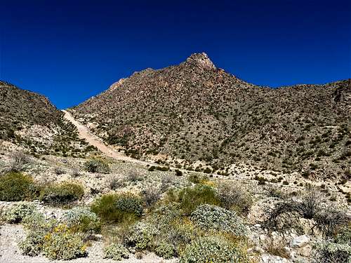 Light Benchmark from the South
Getting There
Light Benchmark is located northwest of Verrado. The easiest starting point in the Lost Creek Trailhead. This is located off Verrado Parkway by taking W. Lost Creek Drive to the end, past the golf courses.
Route
From the Lost Creek trailhead, follow the road for about 300 yards, and then head north on the road, which you will follow for the next 4 1/4 miles. At about 3 ½ miles from the trailhead, the road turns to the right past an old mine, and gets to the base of the steep road. Caterpillar used to test its vehicles up this steep road, and we saw a couple up them up there, so they still might use the road for that purpose. The road gains 800’ in less than three-quarters of a mile until it tops out at about 3,120’ at a gate.
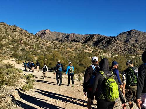 Group walking the road towards Light Benchmark
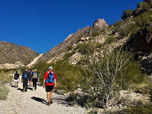 Walking up the road to Light Benchmark
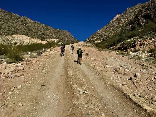 Steep road hike
Red Tape
There is no specific red tape. The Lost Creek Trail is generally open without any restrictions.