
-
 9722 Hits
-
 79.04% Score
-
 10 Votes
|
|
Mountain/Rock |
|---|---|
|
|
44.00274°N / 89.81912°W |
|
|
Adams |
|
|
Hiking |
|
|
1185 ft / 361 m |
|
|
Overview
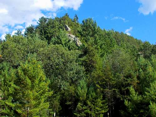
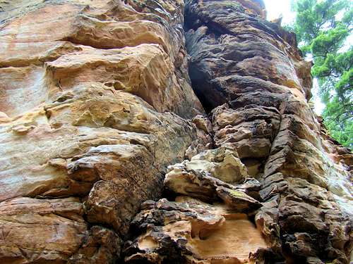 Roche-a-Cri Sandstone
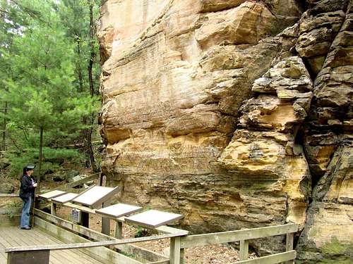 A Wall Full of Petroglyphs
One of the major attractions at Roche-a-Cri is the opportunity for the public to view ancient petroglyphs and pictographs in the rock on the south side. Some of the carvings are more than a thousand years old, while the pictographs are less than 500 years old. This is the only place in Wisconsin where the public can see ancient rock art. In addition to the rock art, there is some graffiti made in the 1800’s by early settlers in the area, plus some graffiti from more recent times. It’s amazing how high some of the old carvings are, suggesting that they may have been made while standing on the backs of horses. There is also evidence that some members of the Wisconsin First Cavalry Sharpshooters used the sandstone for target practice in 1861, judging by indentations in the rock.
Getting There
Roche-a-Cri State Park is located on the west side of Highway 13, approximately one mile south of the intersection of Highways 13 and 21. The main entrance is on the west side of Highway 13. The state park is about 40 miles east of Interstate 90/94 at Tomah, Wisconsin and about 70 miles west of Interstate 41 at Oshkosh, Wisconsin.
Route
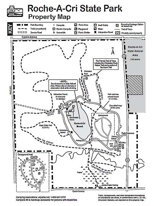 Roche-a-Cri Map
For those who desire more hiking than the climb to the summit, the park has trail descriptions available on this link:
Please note that in the winter, the trails are still open for hiking, cross-country skiing and snowshoeing, but that they are not groomed. Click on the link below for a map you can download:
Red Tape
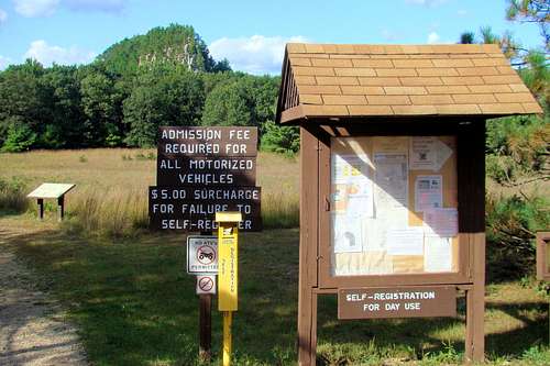
A daily or annual state parks permit is required. Fishing licenses are required, as are hunting licenses in season. There are restrictions on bringing firewood into the park. No rock climbing or scrambling is allowed anywhere on Roche-a-Cri. Access to the summit is permitted by the stairway only.
When to Climb
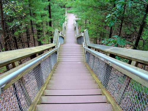 Steep Stairways Have Replaced Old Climbing Routes
Roche-a-Cri Weather Conditions & Forecast
Hunting Information for Roche-a-Cri State Park
Camping
 Roche-a-Cri Northwest Corner
For more about camping at Roche-a-Cri State Park, click on the link below:
Wisconsin DNR Information for Roche-a-Cri State Park
More Park Information
 Roche-a-Cri South Trailhead
If you wish to call the park office, the phone number is: (608) 339-6881