
|
|
Mountain/Rock |
|---|---|
|
|
45.49240°N / 116.5169°W |
|
|
Download GPX » View Route on Map |
|
|
Hiking |
|
|
Spring, Summer, Fall |
|
|
5988 ft / 1825 m |
|
|
Overview
Rank: Stormy Point is Idaho’s 4458th highest ranked peak
Prominence: 648 ft
Stormy Point sits on the eastern rim of Hells Canyon rising close to 4800 ft above the bottom of the canyon, where Snake River runs. A 5340 ft saddle named Low Saddle separates Stormy Point from the other nearby areas on the eastern rim giving Stormy Point 648 ft of prominence. Starting in the town of Riggins, Idaho, a number of dirt roads can give you access to Low Saddle where you will have a short hike to the summit of Stormy Point.
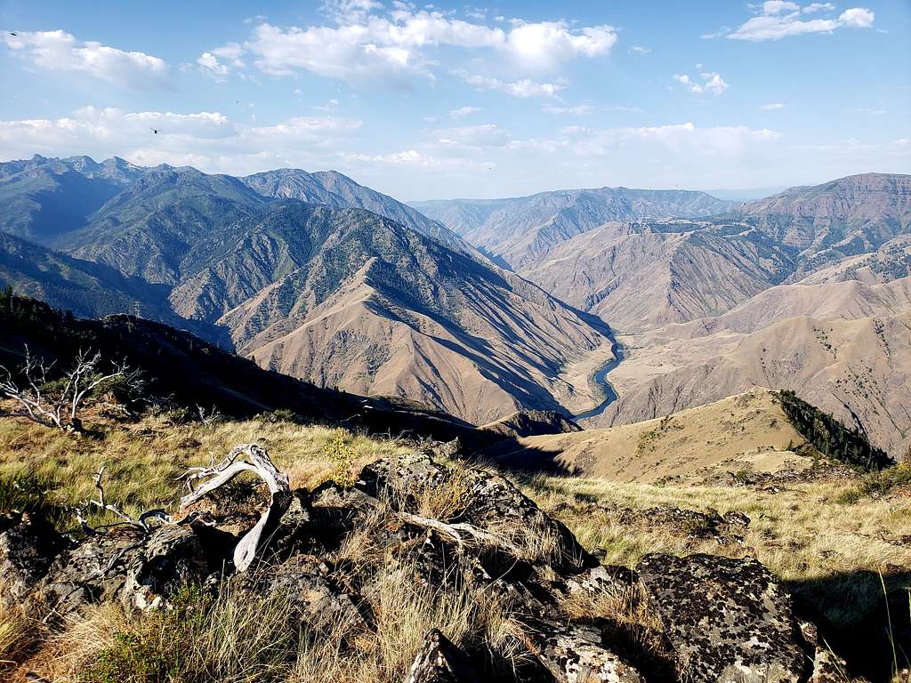
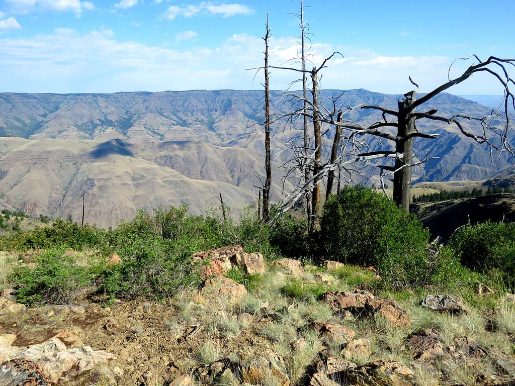
Stormy Point is strategically located to give you great views of Hells Canyon and the close by mountains. The full 8000 ft depth of the canyon, from the summit of He Devil Peak to the bottom of the canyon will be in view.
Getting There
The dirt roads mentioned below are in places narrow and steep. I drove a Jeep Wrangler but did not need to use 4WD. In dry conditions, any high clearance vehicle should be able to make it but conditions can obviously change.
From Riggins, Idaho, drive half a mile north on Route 95 and turn left onto Forest Road 241 (the first 1.5 miles of the road is known as Race Creek, then it becomes Bean Creek Road). Drive 13.5 miles on Road 241 to a place called Iron Phone Junction. Turn left (south) onto Road 420 and go 2 miles then turn right (west) onto Road 1819 and go 8 miles to the end of it at Low saddle.
Hike Statistics
The hiking distance from the end of the road to Stormy Point is roughly one mile. You will have 100 vertical feet of downhill followed by 650 ft up hill bringing the roundtrip distance to 2 miles with 750 ft of ascent. On the day of my hike, the road was blocked by a fallen tree one mile before the end of it. That brought my total hike to 4.25 miles with 1200 ft of ascent.
Route & Trip Report
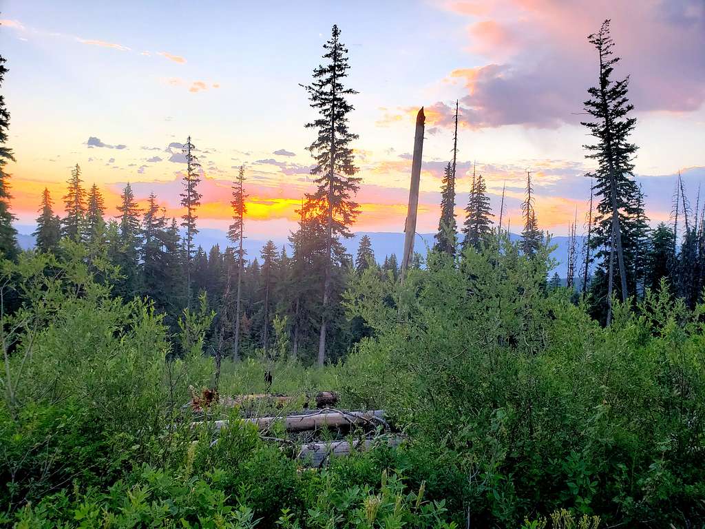
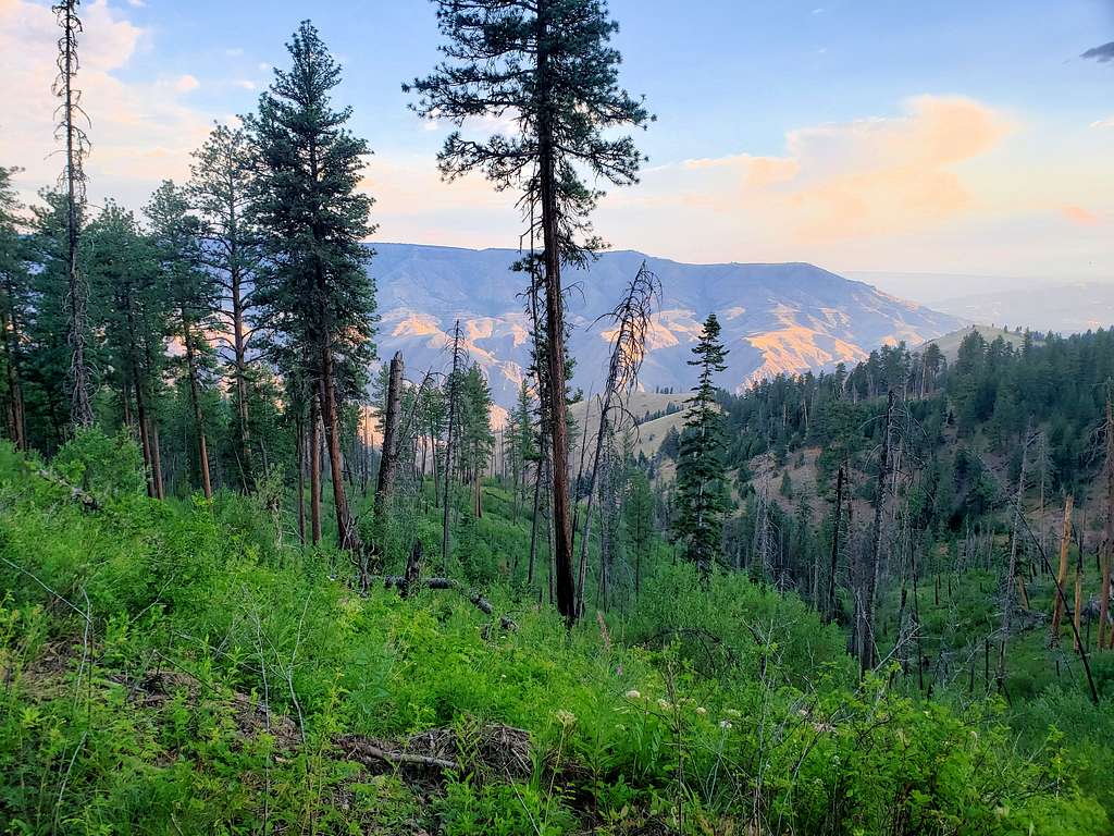
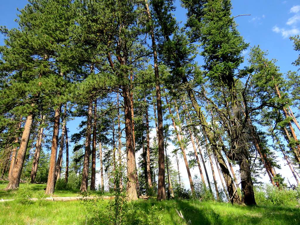
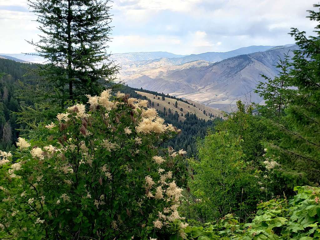
Left the vacation rental house one mile north of Riggins, Idaho around 5:10 AM (sunrise 6:05 AM) and drove a short distance south to Forest Road 241. The road went into a tight valley and began to go uphill steeply. In places, it was only one vehicle wide but fortunately nobody came the opposite way (I did not see any other vehicles or people until the end of the day when I was back to Highway 95). As I quickly gained elevation, the brown barren slopes came to be replaced with a conifer forest. In only 6 miles, the road went from an elevation of 1750 ft to 4400 ft. Where there was an opening in the forest, I stopped to check out the rising sun.
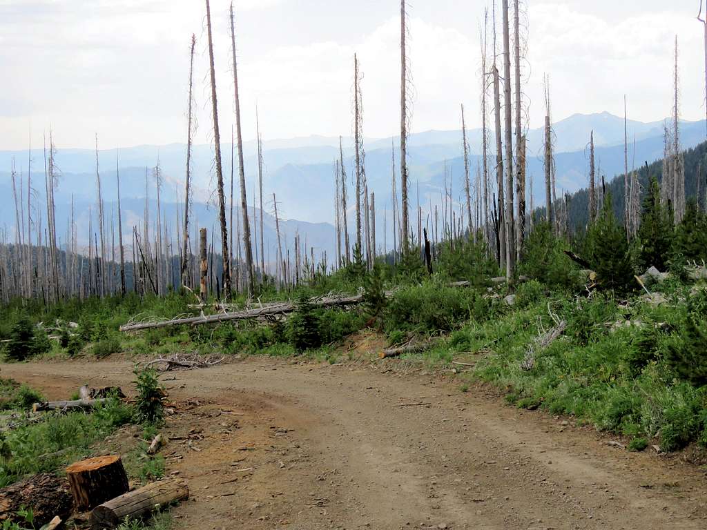
Got on Road 420 and then 1819 which went in a forest of standing dead trees.
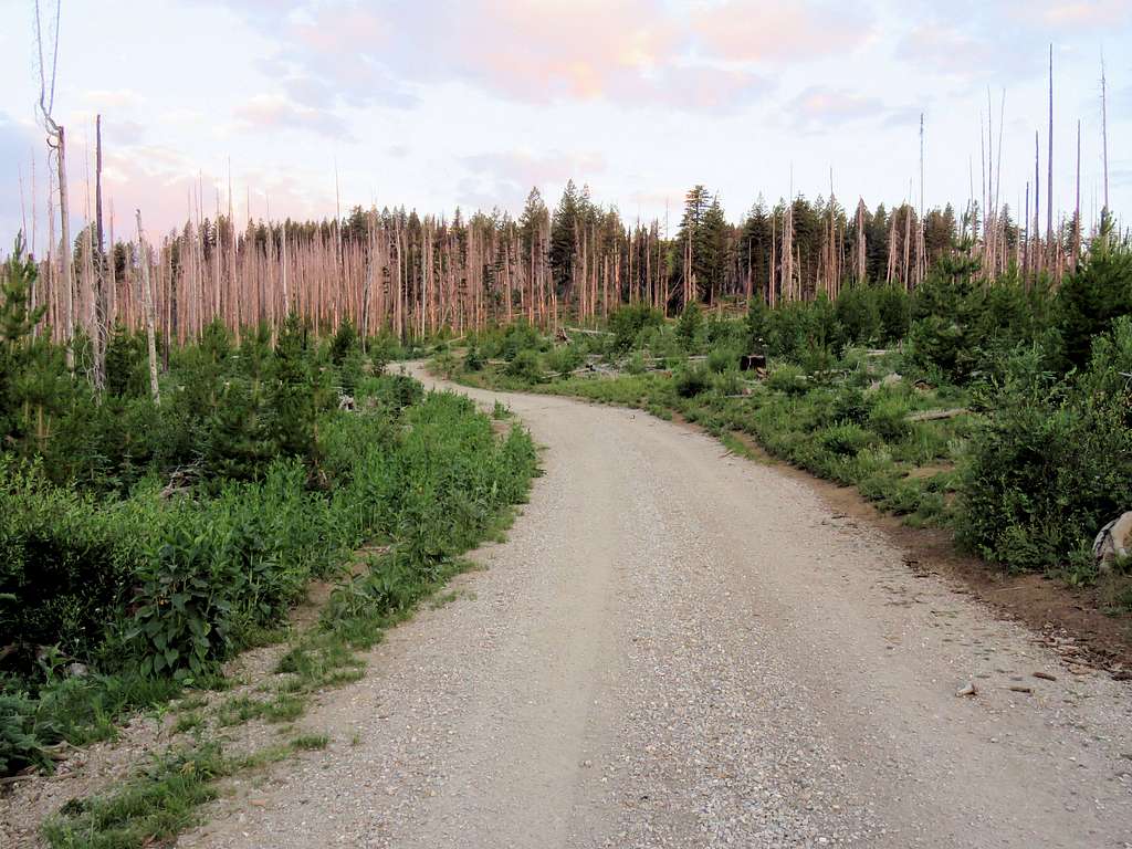
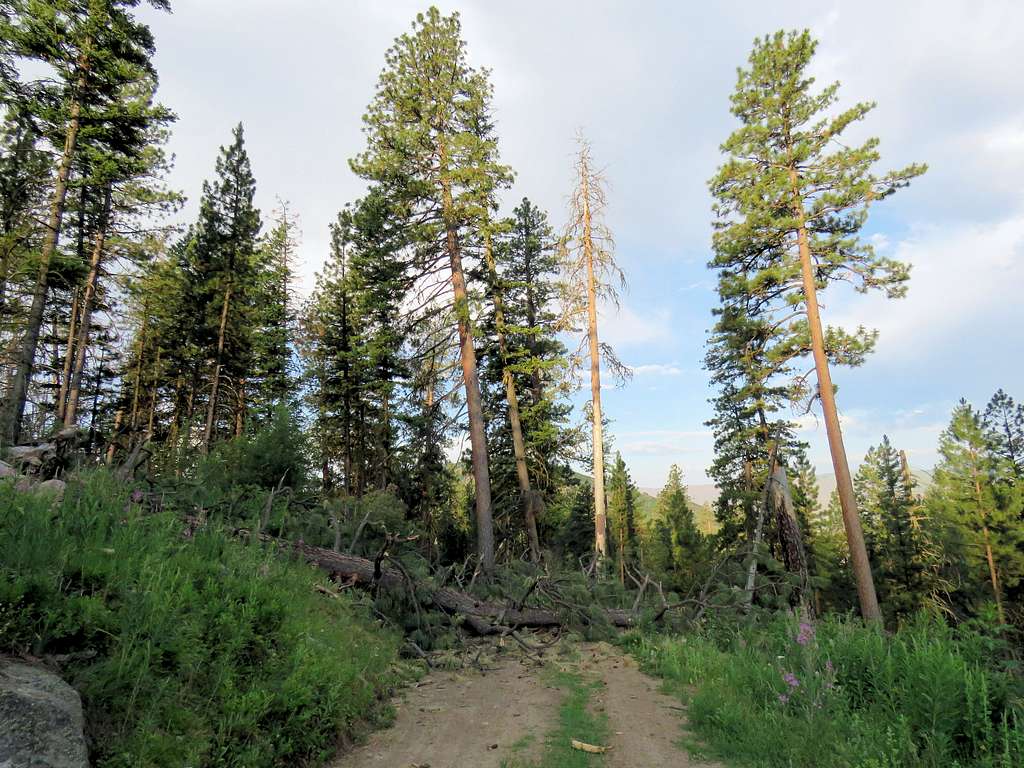
The road went up to an elevation of 6860 ft (870 ft higher than the summit of Stormy Point) into beautiful grassy country then began to twist and turn going down in elevation. The surface of it became somewhat rough but still not too bad. Went past the junction with road 2060 where I suddenly came across a log that had fallen on the road. At first glance, it looked like I could easily drive over it and it looked like it had been driven over before but then I saw the knife sharp spikes sticking out of the main trunk. They sure could give me 4 flat tires. I seemed to be only a mile or so from the end of the road so I decided to go no more. The Jeep had no problem making a 180 degree turn in the tight spot.
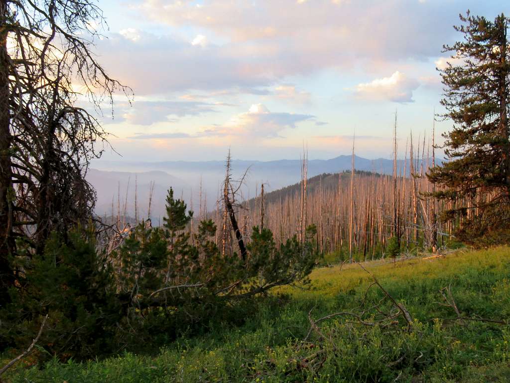
Started my hike at 7:07 AM. Elevation was 5680 ft and it was 68 degrees F. View of the west (Oregon side) of Hells Canyon.
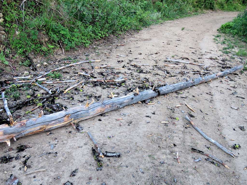
Followed the road downhill and soon saw a huge fallen tree blocking the road. Never mind driving over, this one required some effort to walk over.
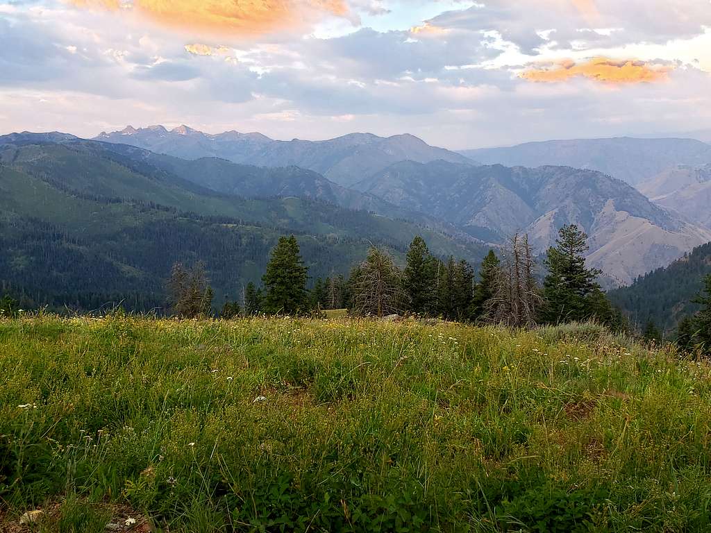
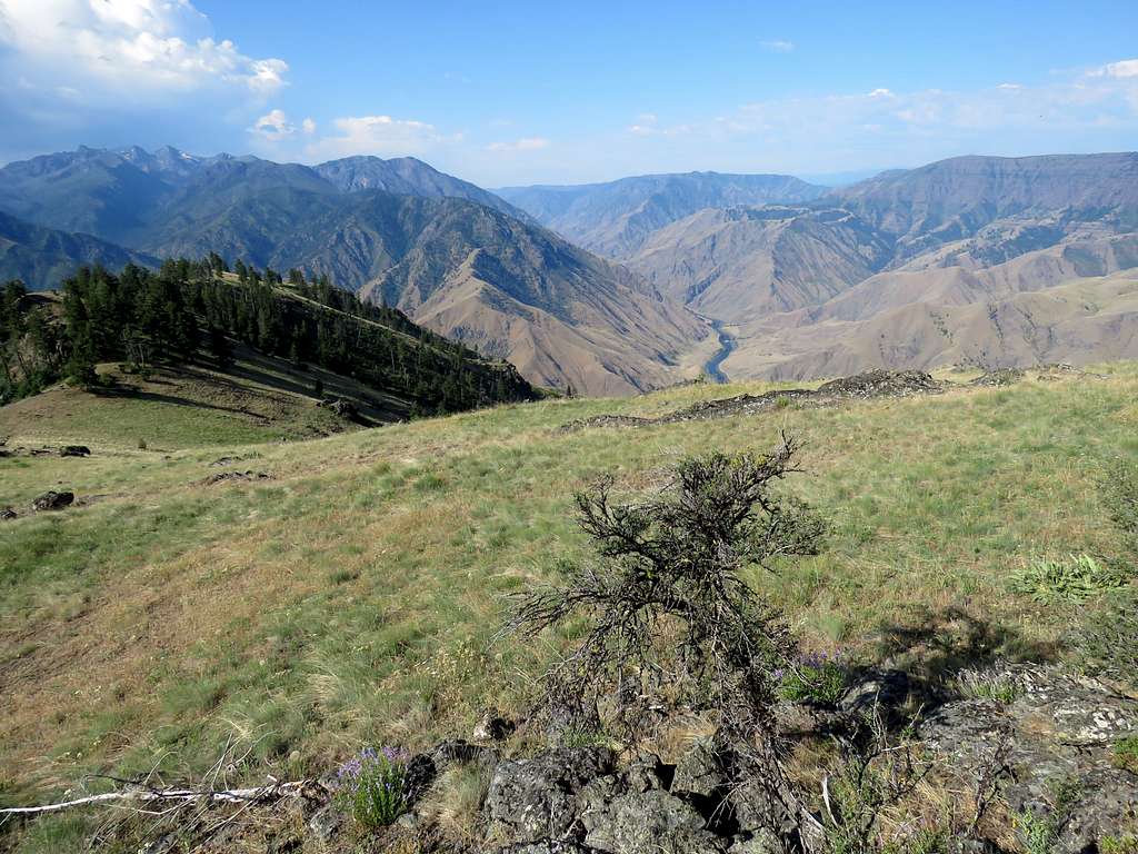
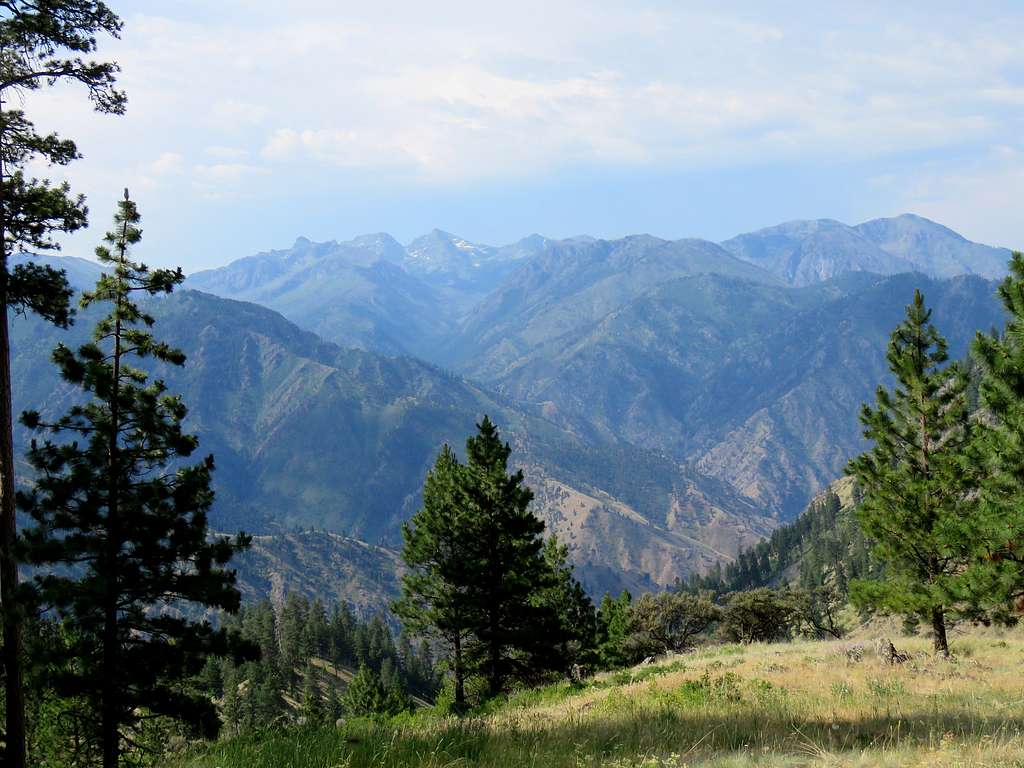
At a clearing, I got great views of the Seven Devils Mountains to the south.
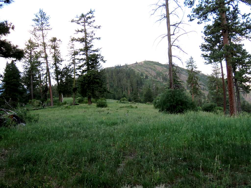
Down to a low point and then uphill, I reached the end of the road at 7:37 AM, 0.98 miles and 5450 ft elevation where there was a pit toilet. Stormy Point could be seen to the southwest.
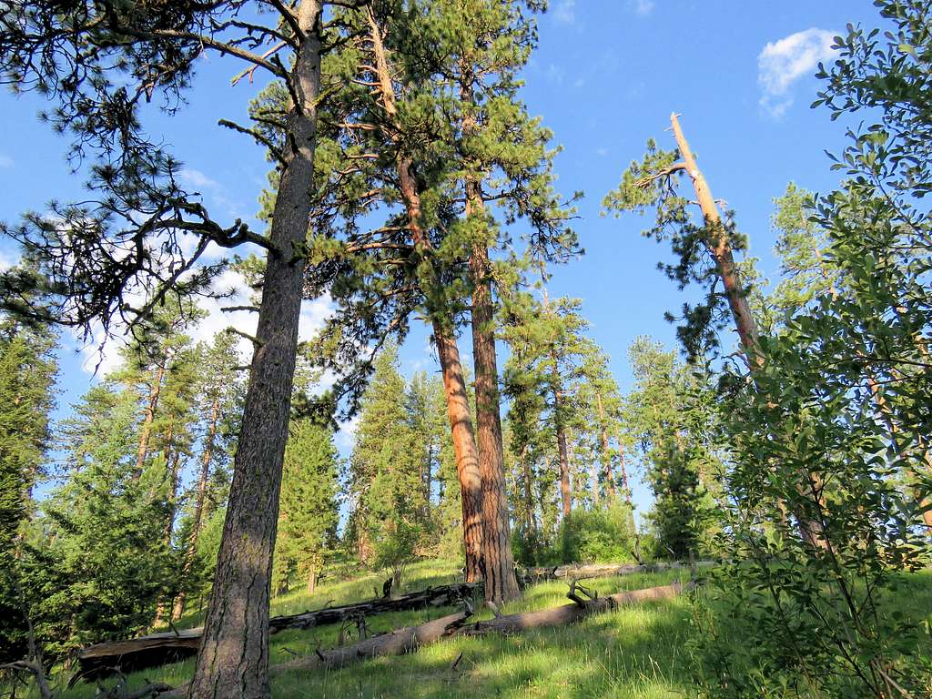
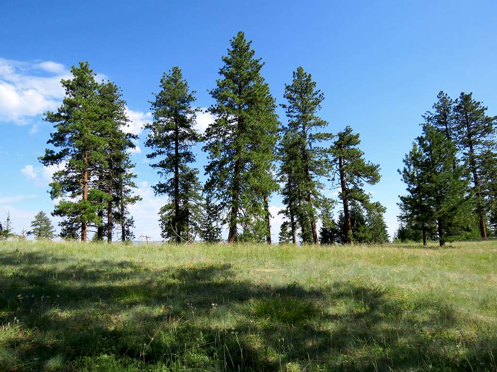
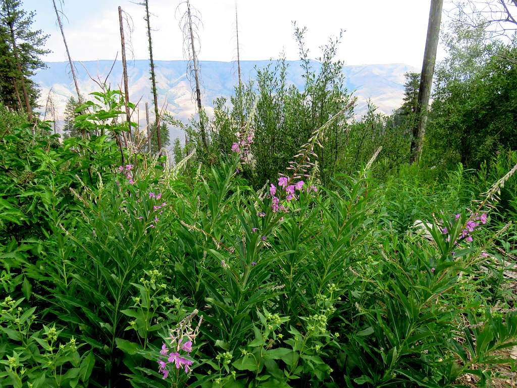
I thought a trail was supposed to go from there to the summit but I could not find a trail. The path to the top, however, seemed straight forward going over green grassy slopes with scattered beautiful tall red barked pine trees so I started to hike toward the summit going down 100 vertical feet then all uphill. Traces of a beaten path could be found here and there but they always faded away. I had read about the abundance of rattle snakes in the area but fortunately had not seen any. At first, before taking any steps, I kept swaying my hiking poles in the grass in front of me to alert any snakes. Soon crossed into the sunny slopes. Loved those tall pine trees and the grassy slopes below them.
Spectacular view of She Devil and He Devil to the south.
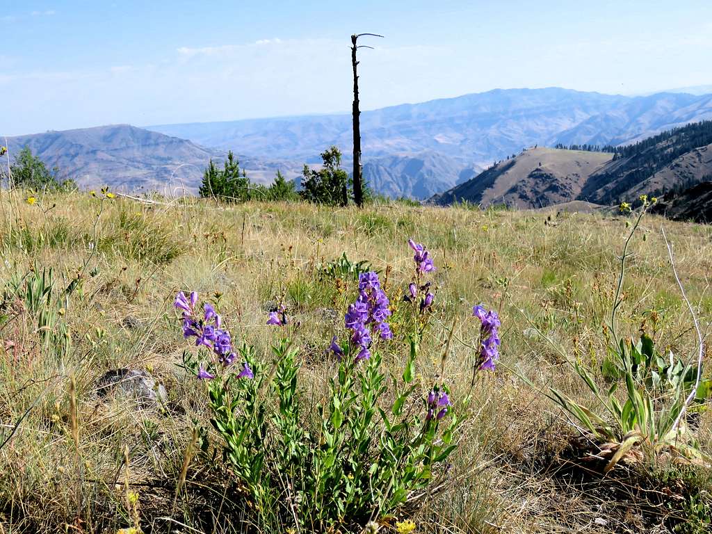
The trees went away and I was exposed to the intense sun light. Temperature highs in the town of Riggins had exceeded 100 degrees F everyday and there had not been any rainfall over the prior many weeks. The grass near the summit became brown and crunchy under my boots. I bypassed a rocky area to the east of it and reached the 5988 ft summit at 8:30 and 1.98 miles. Was already feeling very hot. Curled up behind a big rock to shield myself from the sun light and cool down.
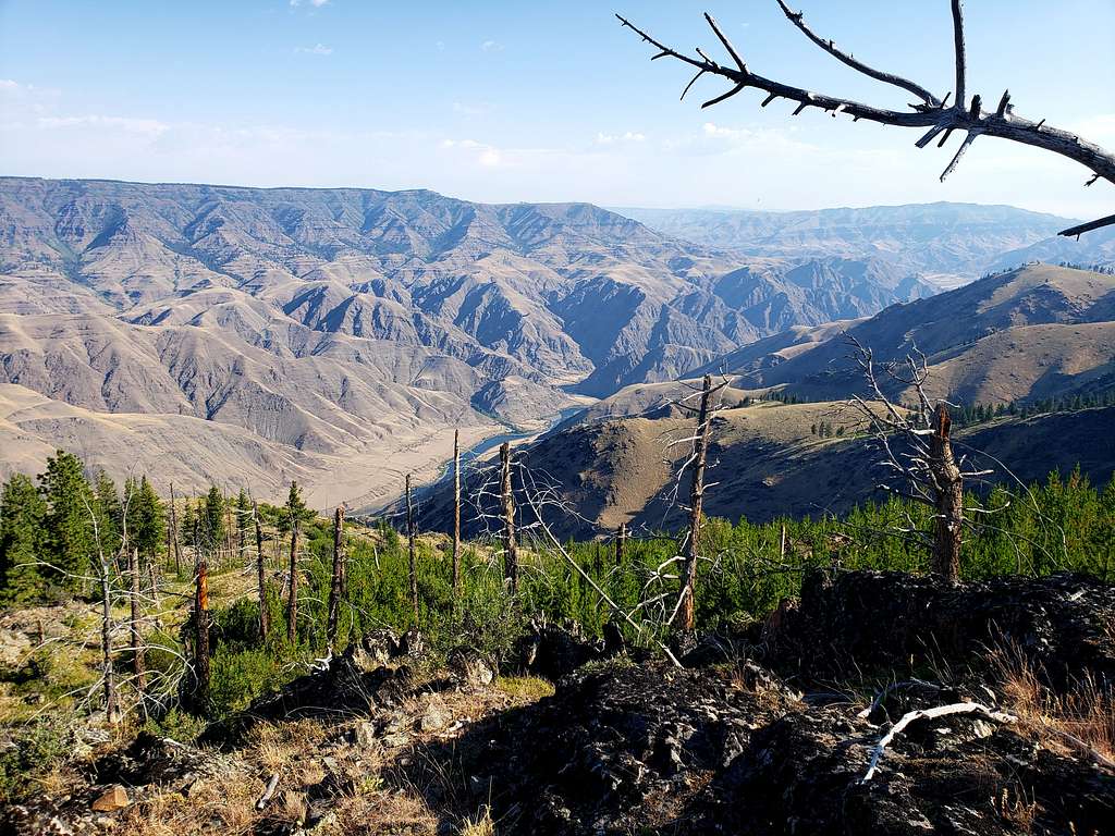
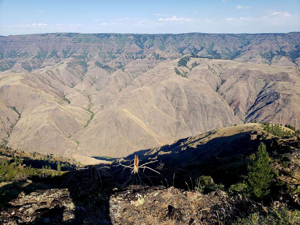
Hells canyon was in good view but it looked like if I went west downhill, I would get better views so I went down 100 vertical feet and then it looked that going further down might give me even better views but the next spot down was much lower and not easy to hike to. I sat there at 8:40 AM to enjoy the views.
The full 8000 foot drop from the summit of He Devil to the bottom of Hells Canyon could be seen.
Looking north.
Looking west.
I had 4 liters of water in my backpack plus two dripping wet cooling towels that I had kept in the refrigerator the previous night. Ate and drank plenty of cold water. Put one of the towels under my hat shoving the ends of it into my shirt. Left at 9:30 and began to hike back up to the summit. Went a little to the southeast for a different view.
Near the summit.
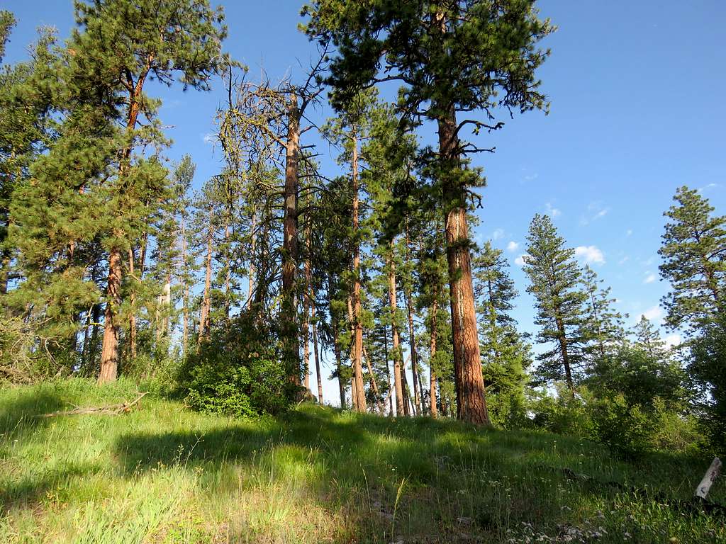
Was then going down my favorite grassy and tall pine trees slopes.
On my GPS, aimed for the low point on the road. A little bushwhacking took me to the road. It became partly to mostly cloudy but was still feeling hot.
Hiked back up the road until I reached the Jeep at 10:55 AM. Its thermometer said 97 degrees F. As I began to drive, it did drop down to mid-80s degrees F.
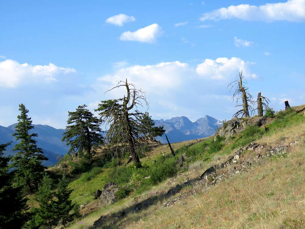
Followed the road back uphill to 6800 ft elevation. It became cloudy and went down to the lower 70s Degrees feeling very pleasant with the windows open. Strange tree by the road.

Looking east from Forest Road 1819. Patrick Butte seen.
View of the brown arid slopes at the bottom of Salmon River Canyon where the town of Riggins is located.
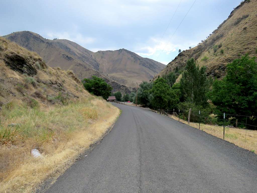
Lower end of Forest Road 241 near Route 95.
Reached home at 12:30 PM. It was 92 degrees F. Later became sunny and the high went up to 102 degrees.
Red Tape
No permits needed
When to climb
Summer can get hot. Late spring and early fall may be better.