|
|
Mountain/Rock |
|---|---|
|
|
41.32000°N / 122.478°W |
|
|
9025 ft / 2751 m |
|
|
Overview
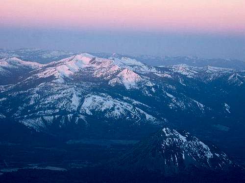
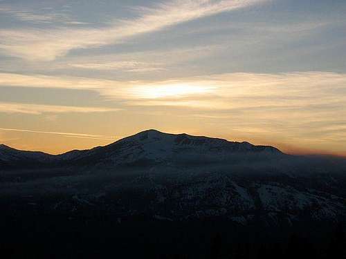
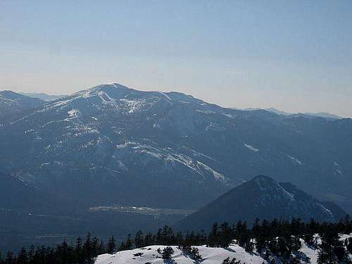
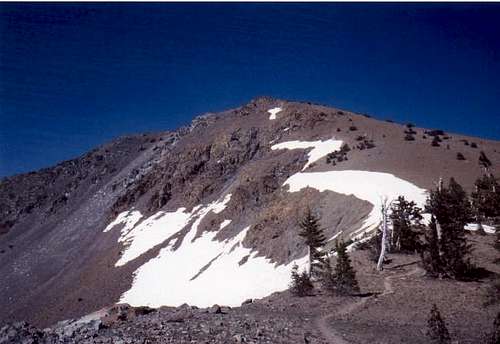
Mount Eddy is the highest mountain in the Eddys (a subrange of the Klamath Mountains), the highest point in Trinity County, and interestingly enough (for you useless trivia fans), the highest mountain W of Interstate 5. It is by far the highest peak in the region… except for one Mount Shasta (a mere 5,000-something ft. higher), which lies just across the valley.
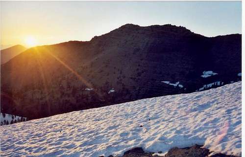
Mt. Eddy was named after Olive Paddock Eddy, the first woman to climb Mt. Shasta. Mount Eddy's biggest attributes are its relative solitude (at least compared with Mount Shasta and Lassen Peak), beautiful surroundings (esp. the multiple Deadfall Lakes), a relatively painless (actually quite enjoyable) route up a majestic peak (the standard trail is 9.4 miles round-trip, has 2,850 ft. elevation gain, & is class 1), and perhaps most notably the amazing views, particularly the neck-bending ones of mighty Mt. Shasta.
Getting There
Unfortunately, access to Mount Eddy is most easily gained via petroleum-burning, fossil fuel-consuming automotive means. One's journey begins by cruising down the paradigm of American ground transportation efficiency, the Interstate highway- in this case, Interstate 5 (I-5, or simply, "the 5"). First off, take I-5 to Exit 751 (Yes, California's freeways are finally being given their long awaited {& overdue} corresponding mileage exits!!!), Edgewood/Gazelle, a few miles North of Weed. Set your trip-meter to '0' at this point.
· Go W, under the freeway, to a the 'T' intersection
· Take a R, towards Gazelle (I thought those were in Africa!)
· .5 mi: Go L onto Stewart Spring Road; take this good, windy paved road for awhile
· 4.5 mi: Take a slight R onto poorly signed Forest Road 17, where the road forks (a sign on the R-side of the 'Y' indicates "Commercial Use; Permit Only;" follow this road, of fair quality for the most part, as it winds its way up the flanks of the mountain. You'll eliminate several thousand feet of energy-burning elevation gain from your journey & enjoy some nice views along the way. As one gets further along, the road becomes 1 - 1.5 lanes wide- be mindful of vehicles traveling the opposite direction (esp. going around corners).
· 13.8 mi: Park at the saddle for the Pacific Crest Trail (PCT)- you're there!
Natural facts
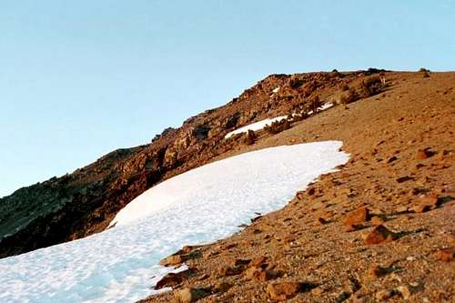
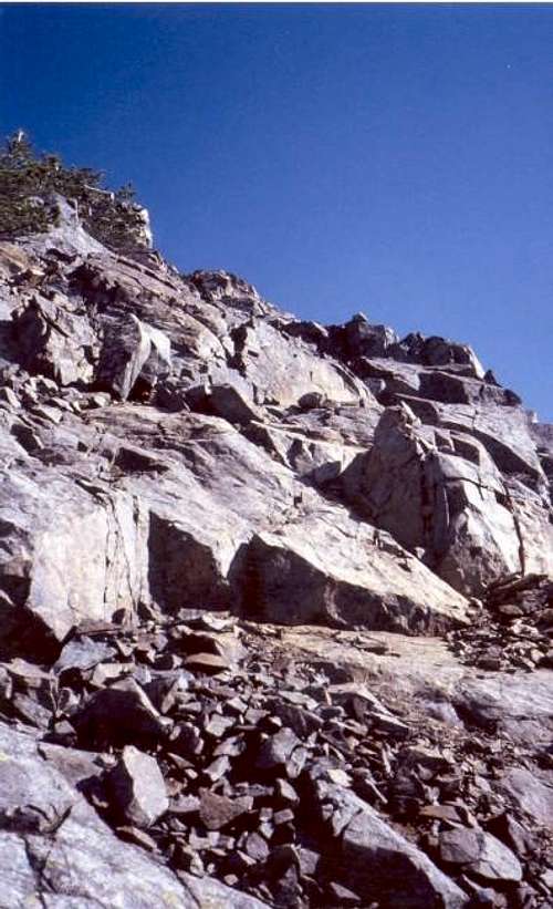
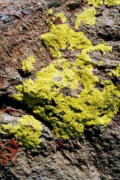
Mount Eddy was formed between 400 & 65 million years ago of intrusive igneous material. Gabbro is the common rock type here. The iron contained in it rusts, giving it its reddish tint.
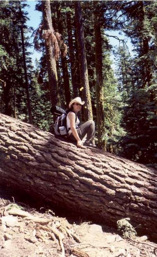
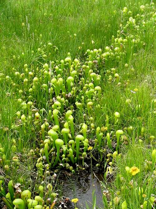
A great deal of wildlife, from both the animal and plant kingdoms, resides here. On the plant side, red & white fir are abundant (esp. at the lower elevations of the trail), & there are many kinds of pine as well. A fairly unusual plant found in the area is the carniverous pitcher plant, which can be seen in various boggy spots at the beginning of the hike. Animals in the area include deer, squirrels, & frogs (esp. at Upper Deadfall Lake).
Large toads that are known to cross the trail on occasion, millipedes, and scorpions reveal themselves at night. Bears, fortunately, are not prevalant in the area, so less precautions must be taken than in many other places.
Red Tape
As this is no wilderness area, no wilderness permits are required. To use a stove or to have a campfire, a campfire permit is required. These can be obtained at any Ranger Station (see 'More info'' below for contact information on the Mt. Shasta Ranger District Station in Mt. Shasta City.
Also, bear in mind that while much of the mountain lies within the Shasta-Trinity National Forest (the largest in the state), a great deal of the land immediately surrounding the Pacific Crest Trail is in fact privately owned, so act accordingly (responsibly).
When To Climb
The best times to climb Mt. Eddy are early July (by which time most snow has melted) through late October. Roads may be impassable before July, adding some mileage to your trip.
Camping
Before attaining the Deadfall Lakes, the trail is too narrow, the adjacent slopes too steep, & the area too forested (and a good deal of the land is privately owned, too) for any decent campsites. Lower, Middle, and Upper Deadfall Lakes offer abundant sites, though, many of which are quite nice.
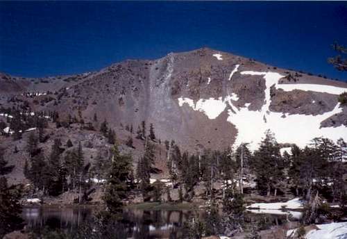
Upper Deadfall Lake, in particular, has spectacular views of Mt. Eddy's West face, & camper there get to be serenaded by a chorus of frogs in the evening. Make sure to obtain a campfire permit beforehand, and stay at least 100 ft. away from water sources.
Mountain Conditions
They say mountains create their own weather. It's been my experience that this is true, & in particular, the biggest peaks in a given location. Fortunately, by a rather large margin (the base-to-summit vertical differential is almost 2:1!!!), this honour goes to awesome Mt. Shasta in this region (in this case, Northern California!!). This means that when bad weather starts rolling in, it will generally start around Mt. Shasta, and frequently stay there (such as the funky UFO-like lenticular clouds).
The closest communities (equidistant from the mountain) that might share similar weather (albeit over 5,000 ft. lower) are Weed & Mt. Shasta City. Assuming open hours, the Mt. Shasta Ranger station could also be called for an up-to-date forecast.
If going in winter, check the road conditions with the Mt. Shasta Ranger District- Forest Road 17 is unmaintained, and is frequently impassible.
To check avalanche conditions (one part of the path does cross a potential slide zone), check out the Mt. Shasta avalanche conditions page, and look for Peterson Flat (in the vicinity of Mt. Eddy, slightly over 7,000 ft.). This map shows various potential slide zone starting points around Mt. Eddy.
Summit Views
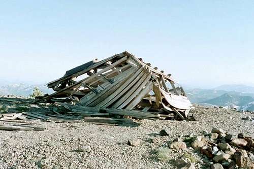
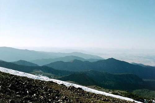
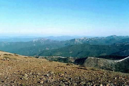
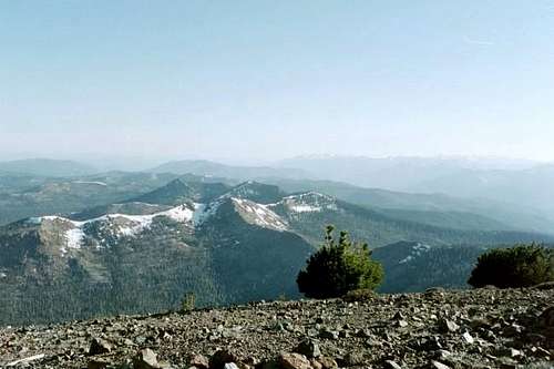
Upon attaining the summit plateau, get ready for some of the coolest mountaintop views you'll have locked eyeballs upon! Assuming good weather, upon summiting, you'll be treated to a veritable smorgasbord of alpine vistas:
Almost due North, you'll see Oregon's 6th highest mountain, Mt. McLoughlin, rising from the plains.
Looking southwest, the majestic Trinity Alps dominate the distant skyline.
To the southeast, the tiny-looking granite spires of the Castle Crags are spotted, and seeming like a mirage in the distance, Lassen Peak undulates on the horizon.
Rising to the West behind Deadfall Lakes Basin are the Scott Mountains, and to the South the Eddy Range.
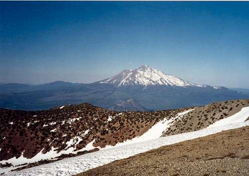
To the northeast, sharp (but tiny-looking!) Black Butte rises from the valley below, and directly behind that… mighty Mt. Shasta towers above everything in sight (by at least 5,000 ft!), dominating the view. Mt. Eddy being the next-largest mountain around, the vantage-point of Mt. Shasta is particularly awesome (even more so because one doesn't see it coming until the summit plateau is actually reached!).
More Info
Here are some links you might find useful:
Mount Shasta Ranger District
Shasta-Trinity National Forest
204 West Alma Street
Mt. Shasta City, CA 96067
(530) 926-4511
Shasta-Trinity National Forest
3644 Avtech Parkway
Redding, CA 96002
(530) 226-2500
Shasta-Trinity National Forest website

