
|
|
Mountain/Rock |
|---|---|
|
|
33.59100°N / 105.265°W |
|
|
10083 ft / 3073 m |
|
|
Overview
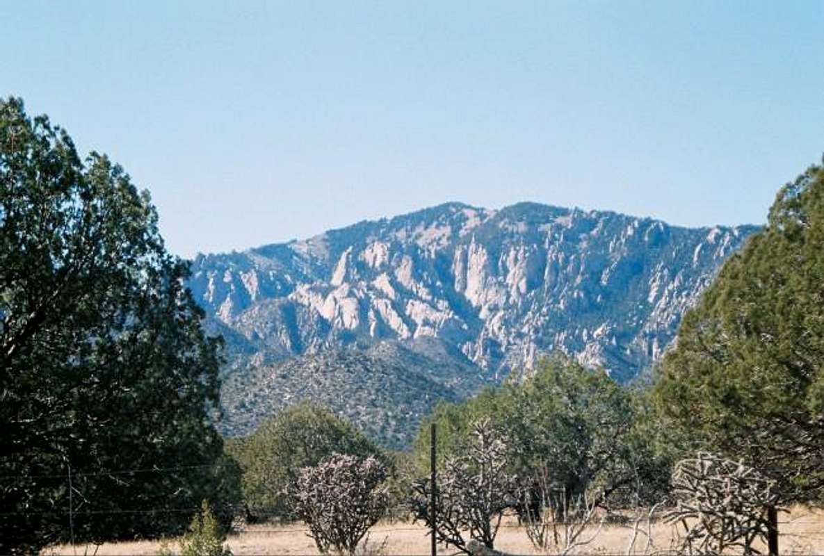
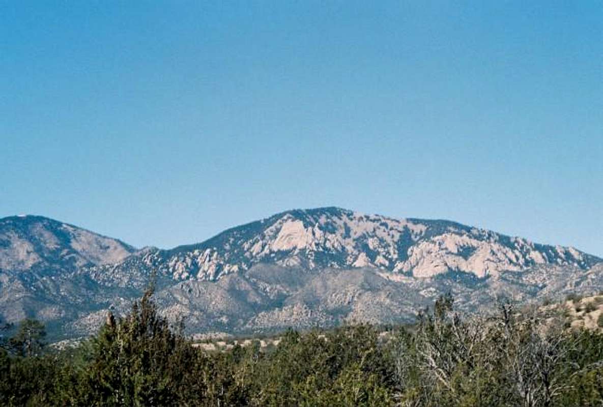
Capitan is quite a unique mountain, running east to west instead of north to south like most NM Mountains Capitan has a little somthin’ for every one. The mountain has a number of places on both the north and south side to go rock climbing. They also offer some breathtaking views of the dessert below. The Capitan Mountains are located in south central New Mexico in the Lincoln national forest, between the towns of Capitan and Arabela. Capitan peak itself is confined to the Capitan Wilderness. The Lincoln national forest and surrounding area are home to a rich history. Lincoln County was the stomping grounds of Billy the Kid and it is the known birthplace of Smoky the Bear. The Capitan’s offer many outdoors activities including: Camping, horseback riding, fishing, hunting, rock climbing, and yes you guessed it hiking.
For the Billy the Kid story.
Story of Smoky the Bear.

Getting There
While there are a few ways to reach the summit Trail 64 is probably the most accessible and easiest. To get there from Capitan take highway 48 north, the road with make a sharp turn about 8 mile in but keep on this until you see a sign for a Boy Scout camp, for the most part it will be an unmarked dirt road on your right, turn there. Continue on this road; go through the cattle guards until you reach a fence with a big stop sign. At this point you will not be able to go any further and the trail will be on your left. There is good parking here but don’t block the road, it is someone’s driveway. The road itself is a little bumpy but it is nothing the average car cannot handle. Also keep in mind that some of this road is surrounded by private property so be respectful! Highway 48 eventually runs into Roswell so the same directions can be followed from that starting point.
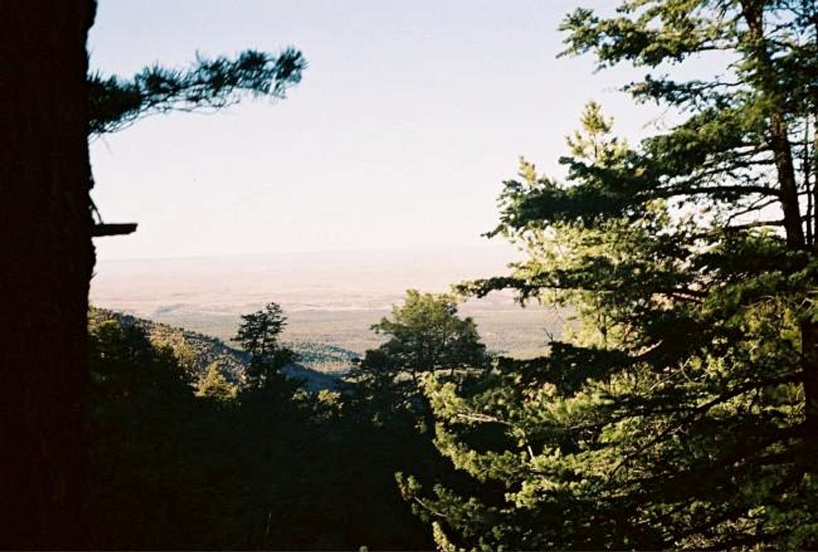
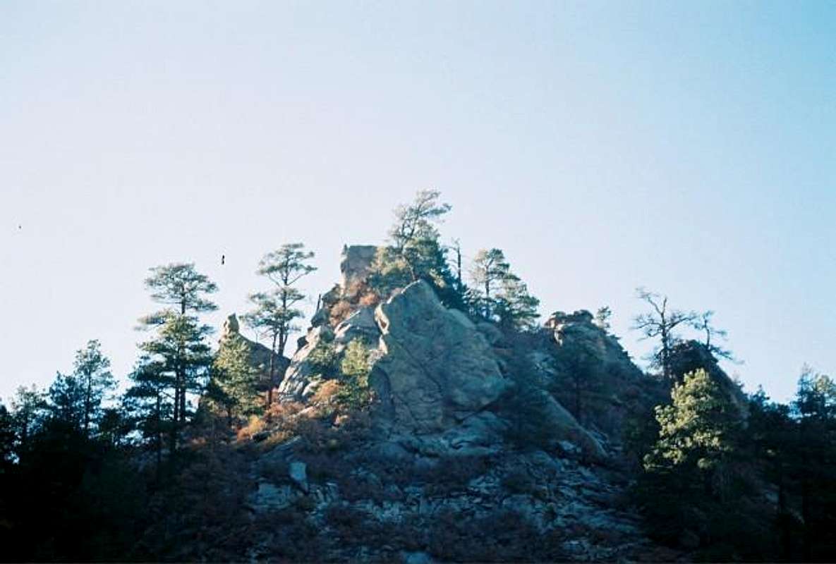
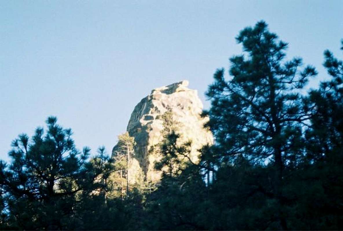
The trail itself is by Wisconsin standards no more than a deer trail. In some places it is hard to follow but, it is well marked so if you don’t see a “trail 64” sign every mile then you are off track. The trail does many switchbacks and while it may be tempting to just go strait up, stay on the trail, there are already signs of erosion from people doing this. I am not sure of how many people hike this trail but by the looks of it I don’t think that many people do, the only tracks I saw were from deer and elk. The sign at the base of the trail stats that Capitan Pk. is 7 and Chimney rock is 2. The sign is wrong, Capitan is 5.7 miles, I am not sure of Chimney rock but it only took me 30 min so it may be close to correct. Lastly, the trail is obviously not well kept; I had to climb over many fallen logs that were in the way so be careful.
There are a few other ways to obtain the summit that I have not done but here is the information on them.
Info
Map of Capitan wilderness to go with it
 |
Red Tape
No red tape, there may be fire bans from March through July.
When To Climb
This mountain can be climbed year round. In the winter it might be harder after a bit of snow has fallen but still doable. In the summer months I am told that the weather gets really hot so be sure to bring plenty of water (Gallon per person minimum!). I did not see any good water sources along the way.
Camping
I did not see any actual campsites along the trail; I did see some places that would allow a small tent to be set up. There is dispersed camping allowed but keep in mind that from March to July fire restrictions might be in effect. There are developed campsites in the area.
Campsites
Updated fire restrictions
Miscellaneous Info
If you have any information that doesn’t fit in the other sections place it here.
PS, I would like to thank attm for his help and support for this mountain page.
wbass - Sep 3, 2004 3:01 pm - Hasn't voted
Untitled CommentThe Capitan Wilderness has been closed since the May/June 2004 fire. According to the Forest Service, hunters will likely push for its reopening in the Fall.
ndalum2002 - Apr 1, 2013 9:52 am - Hasn't voted
Don't Waste Your TimeFire destroyed this area years ago. Made the mistake of trying this trail last week, but conditions are still dry. Many trees fallen along trail as well. Decided to turn back after about a quarter mile into it. Went to find another trail elsewhere.
phytap - May 27, 2015 11:44 am - Hasn't voted
2015 UpdateThe trails in the Capitan Wilderness remain in poor condition. My son and I attempted a loop from the trailhead at Pine Lodge, up to Capitan, across the Summit Trail, north on T66, and then back to the trailhead on T65. About two miles west of Capitan, we lost the trail for good, and the hike ended up as an orienteering exercise. Definitely a challenge given the number of rock fields and downed trees. Until the condition of the trails improve, plan on taking three times as long as normal to cover any distance.